Homer is a town in and the parish seat of Claiborne Parish in northern Louisiana, United States. Named for the Greek poet Homer, the town was laid out around the Courthouse Square in 1850 by Frank Vaughn. The present-day brick courthouse, built in the Greek Revival style of architecture, is one of only four pre-Civil War courthouses in Louisiana still in use. The building, completed in 1860, was accepted by the Claiborne Parish Police Jury on July 20, 1861, at a cost of $12,304.36, and is on the National Register of Historic Places. The other courthouses are in St. Francisville, St. Martinville and Thibodaux.
The population of Homer was 2,747 in 2020.
| Name: | Homer town |
|---|---|
| LSAD Code: | 43 |
| LSAD Description: | town (suffix) |
| State: | Louisiana |
| County: | Claiborne Parish |
| Elevation: | 282 ft (86 m) |
| Total Area: | 4.66 sq mi (12.07 km²) |
| Land Area: | 4.65 sq mi (12.05 km²) |
| Water Area: | 0.01 sq mi (0.01 km²) |
| Total Population: | 2,747 |
| Population Density: | 590.37/sq mi (227.93/km²) |
| ZIP code: | 71040 |
| Area code: | 318 |
| FIPS code: | 2235870 |
| Website: | www.townofhomer.com |
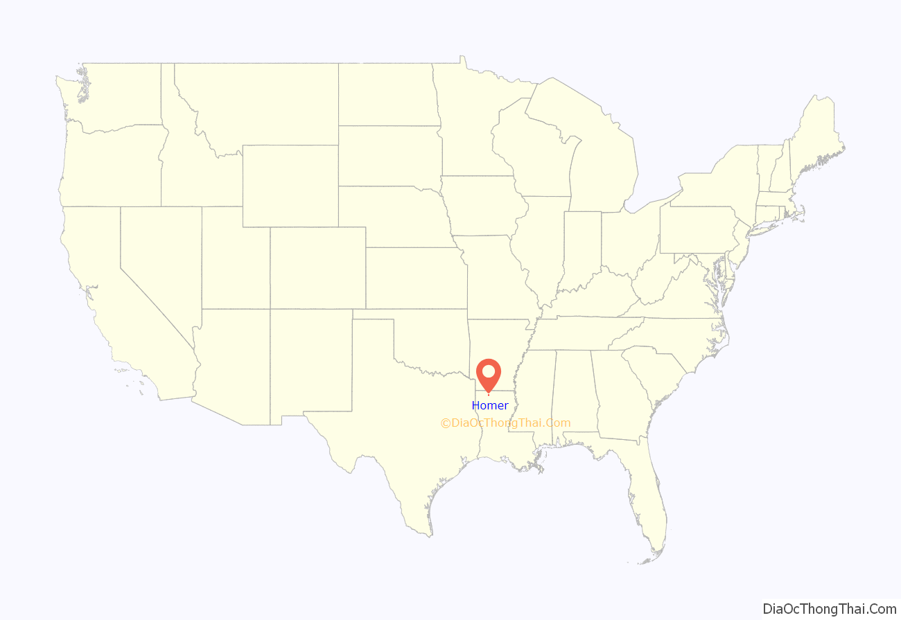
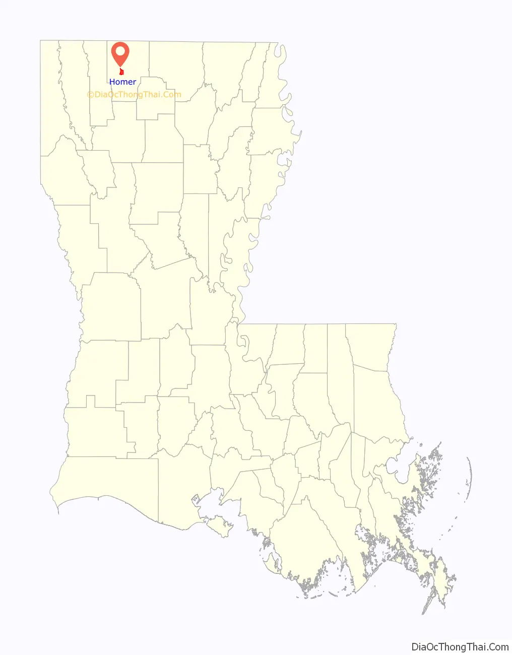
Online Interactive Map
Click on ![]() to view map in "full screen" mode.
to view map in "full screen" mode.
Homer location map. Where is Homer town?
History
Johnson donated land for the former Ashland High School. Johnson is interred in Coushatta in Red River Parish.
The Herbert S. Ford Memorial Museum operates across from the parish courthouse in the former Claiborne Hotel (completed 1890). The museum claims the oldest compressed bale of cotton in existence in the United States. This cotton display is believed to have been baled about 1930. Adjacent to the cotton exhibit is the “Black Gold”, a replica of an oilfield roughneck—a general laborer worker who loading and unloads cargo from crane baskets and keeps the drilling equipment clean—employed in the early 1930s by the Sinclair Oil and Gas Company. The exhibit has a recording which explains how a farm family, growing mostly cotton and corn faced great economic travail in Mississippi but relocated to Claiborne Parish to take advantage of the oil and natural gas boom. “Oil changed our lives forever. We owe a lot to the men, mud, and mules that made it happen,” concludes the recorded message. In 1921, oil was discovered in Homer; in 1921, another strike followed in Haynesville in northern Claiborne Parish. The boom continued through the 1930s and brought many customers to the then booming Hotel Claiborne, which had been established in 1890 and declared a state historic site in 1984.
Former Homer Mayor Alecia Smith was sentenced in 2017 after she pleaded guilty to two counts of malfeasance in office. She diverted Homer municipal funds to personal use and falsified public records. Her two five-year sentences were deferred, and she was instead placed on probation. She must pay a $1,000 fine and repay more than $6,000 to the municipality. Louisiana Attorney General Jeff Landry said that department will “not stand for corrupt public officials. … The people of our state deserve better and should expect more out of those who are appointed or elected to serve.”
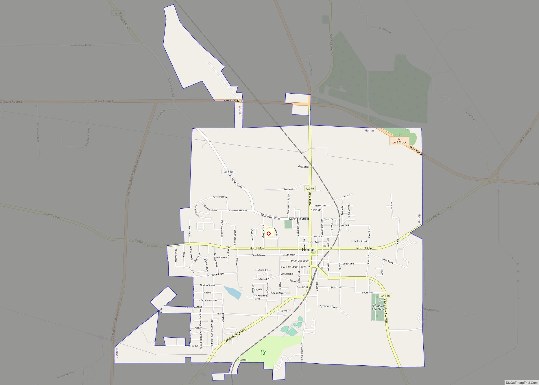
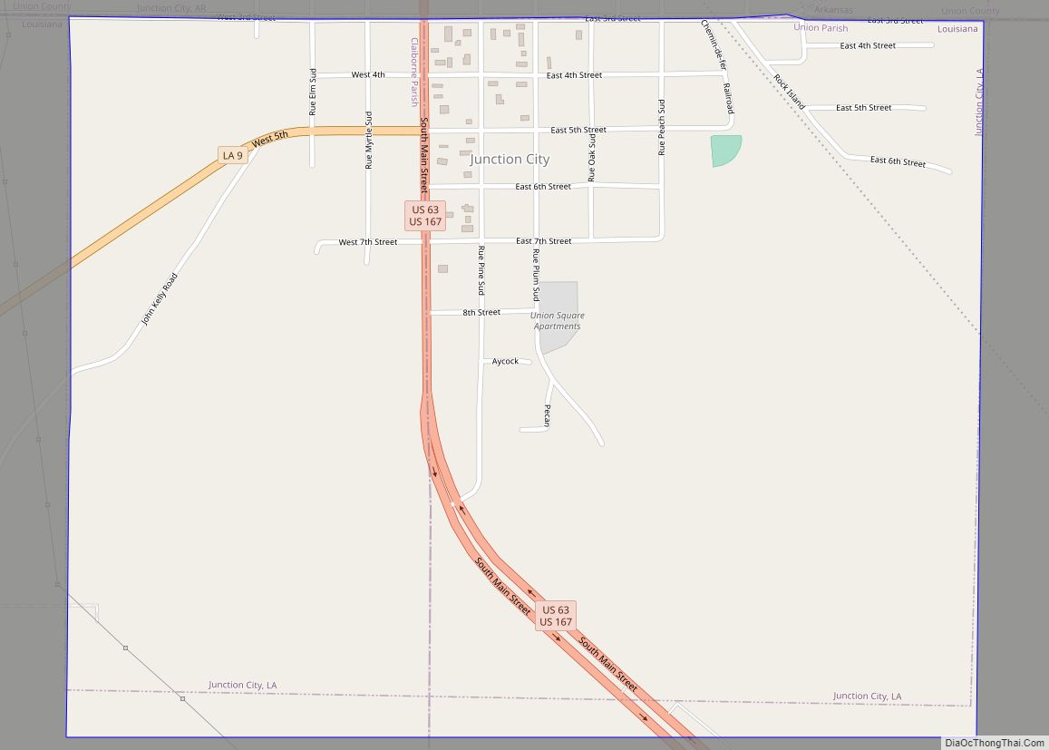
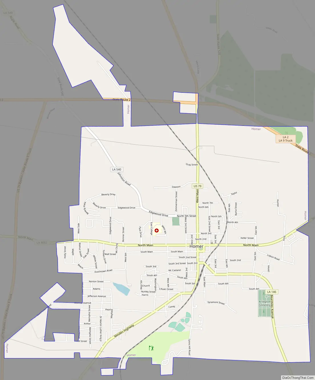
Homer Road Map
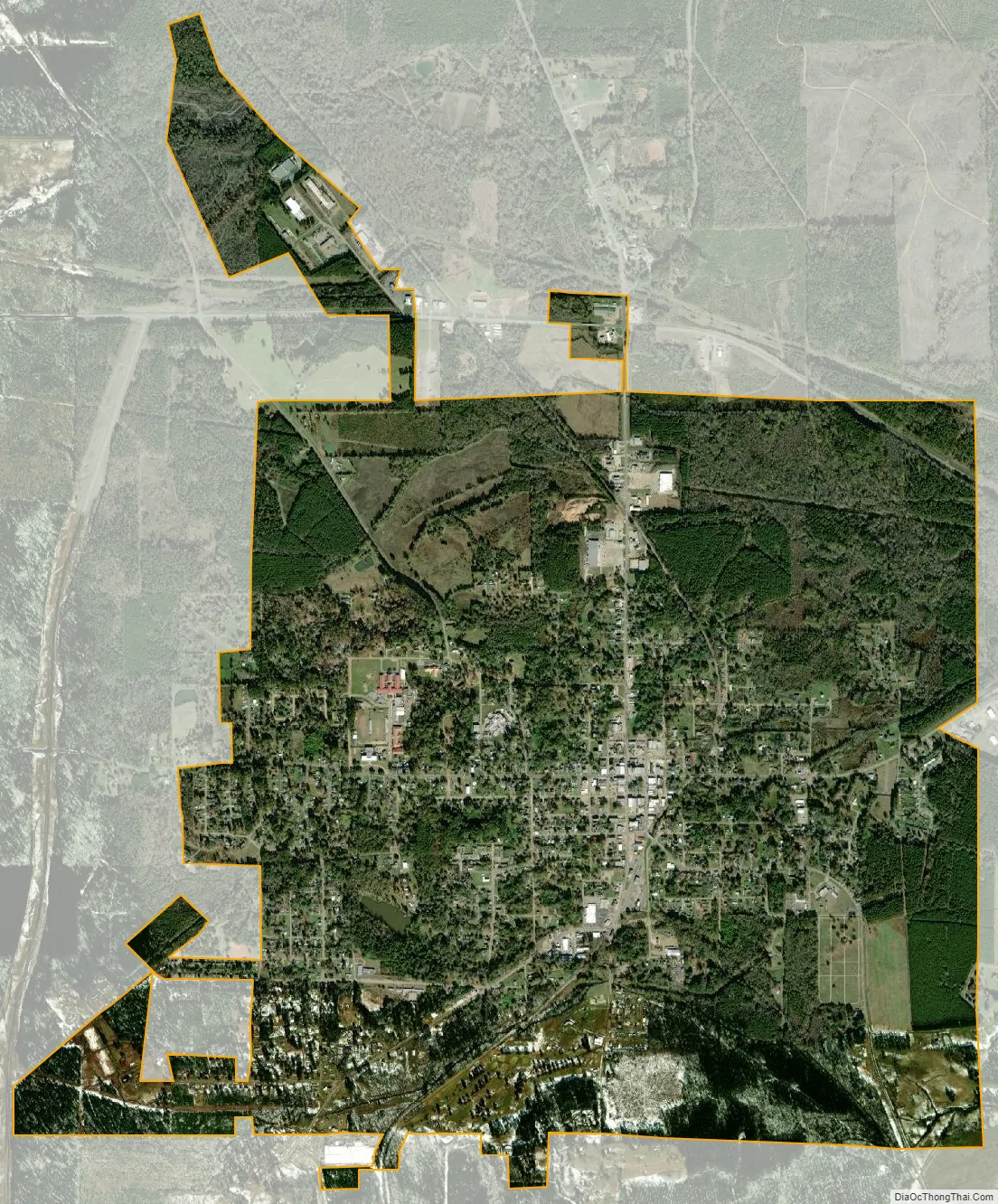
Homer city Satellite Map
Geography
Homer is located at 32°47′24″N 93°3′31″W / 32.79000°N 93.05861°W / 32.79000; -93.05861 (32.789863, -93.058633).
According to the United States Census Bureau, the town has a total area of 4.6 square miles (12 km), of which 4.6 square miles (12 km) is land and 0.22% is water.
See also
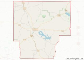
Map of Louisiana State and its subdivision:- Acadia
- Allen
- Ascension
- Assumption
- Avoyelles
- Beauregard
- Bienville
- Bossier
- Caddo
- Calcasieu
- Caldwell
- Cameron
- Catahoula
- Claiborne
- Concordia
- De Soto
- East Baton Rouge
- East Carroll
- East Feliciana
- Evangeline
- Franklin
- Grant
- Iberia
- Iberville
- Jackson
- Jefferson
- Jefferson Davis
- La Salle
- Lafayette
- Lafourche
- Lincoln
- Livingston
- Madison
- Morehouse
- Natchitoches
- Orleans
- Ouachita
- Plaquemines
- Pointe Coupee
- Rapides
- Red River
- Richland
- Sabine
- Saint Bernard
- Saint Charles
- Saint Helena
- Saint James
- Saint John the Baptist
- Saint Landry
- Saint Martin
- Saint Mary
- Saint Tammany
- Tangipahoa
- Tensas
- Terrebonne
- Union
- Vermilion
- Vernon
- Washington
- Webster
- West Baton Rouge
- West Carroll
- West Feliciana
- Winn
- Alabama
- Alaska
- Arizona
- Arkansas
- California
- Colorado
- Connecticut
- Delaware
- District of Columbia
- Florida
- Georgia
- Hawaii
- Idaho
- Illinois
- Indiana
- Iowa
- Kansas
- Kentucky
- Louisiana
- Maine
- Maryland
- Massachusetts
- Michigan
- Minnesota
- Mississippi
- Missouri
- Montana
- Nebraska
- Nevada
- New Hampshire
- New Jersey
- New Mexico
- New York
- North Carolina
- North Dakota
- Ohio
- Oklahoma
- Oregon
- Pennsylvania
- Rhode Island
- South Carolina
- South Dakota
- Tennessee
- Texas
- Utah
- Vermont
- Virginia
- Washington
- West Virginia
- Wisconsin
- Wyoming