Clay County is a county located in the U.S. state of Kentucky. As of the 2020 census, the county population was 20,345. Its county seat is Manchester. The county was formed in 1807 and named in honor of Green Clay (1757–1826). Clay was a member of the Virginia and Kentucky State legislatures, first cousin once removed of Henry Clay, U.S. Senator from Kentucky and Secretary of State in the 19th century.
| Name: | Clay County |
|---|---|
| FIPS code: | 21-051 |
| State: | Kentucky |
| Founded: | 1807 |
| Named for: | Green Clay |
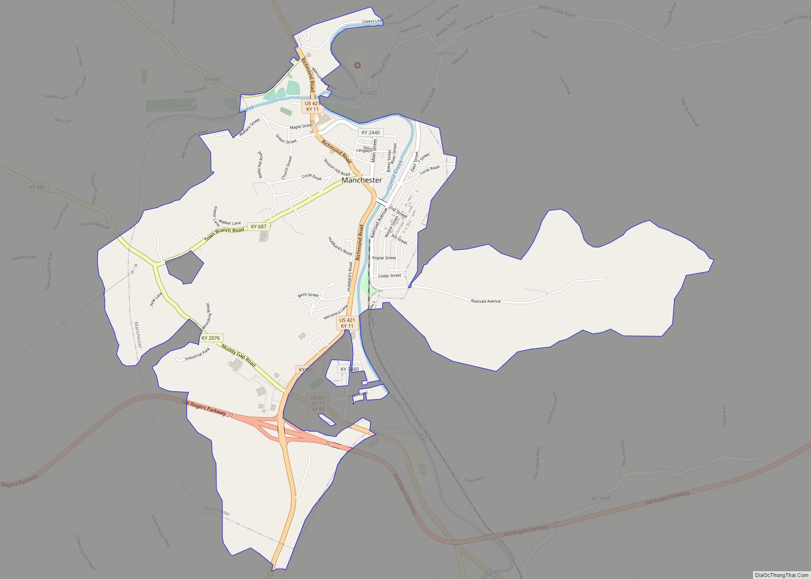
| Seat: | Manchester |
| Largest city: | Manchester |
| Total Area: | 471 sq mi (1,220 km²) |
| Land Area: | 469 sq mi (1,210 km²) |
| Total Population: | 20,345 |
| Population Density: | 43/sq mi (17/km²) |
| Time zone: | UTC−5 (Eastern) |
| Summer Time Zone (DST): | UTC−4 (EDT) |
| Website: | claycounty.ky.gov |
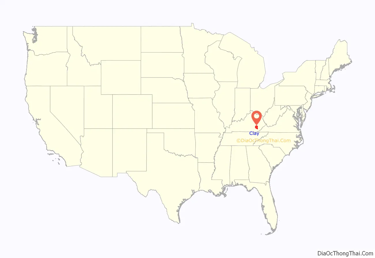
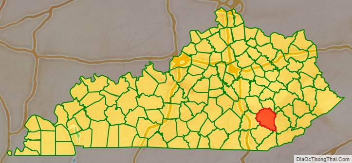
Clay County location map. Where is Clay County?
History
Clay County was established in 1807 from land given by Floyd, Knox and Madison counties. The courthouse burned in January 1936.
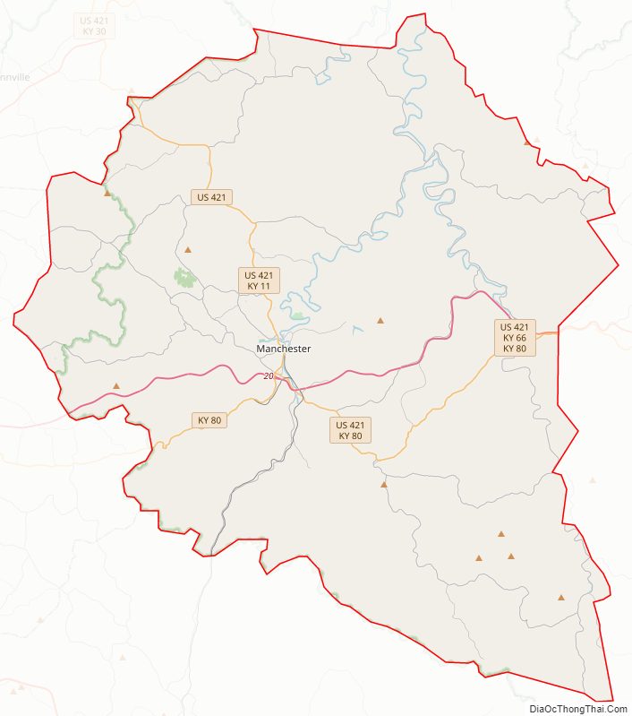
Clay County Road Map
Geography
According to the United States Census Bureau, the county has a total area of 471 square miles (1,220 km), of which 469 square miles (1,210 km) is land and 1.8 square miles (4.7 km) (0.4%) is water.
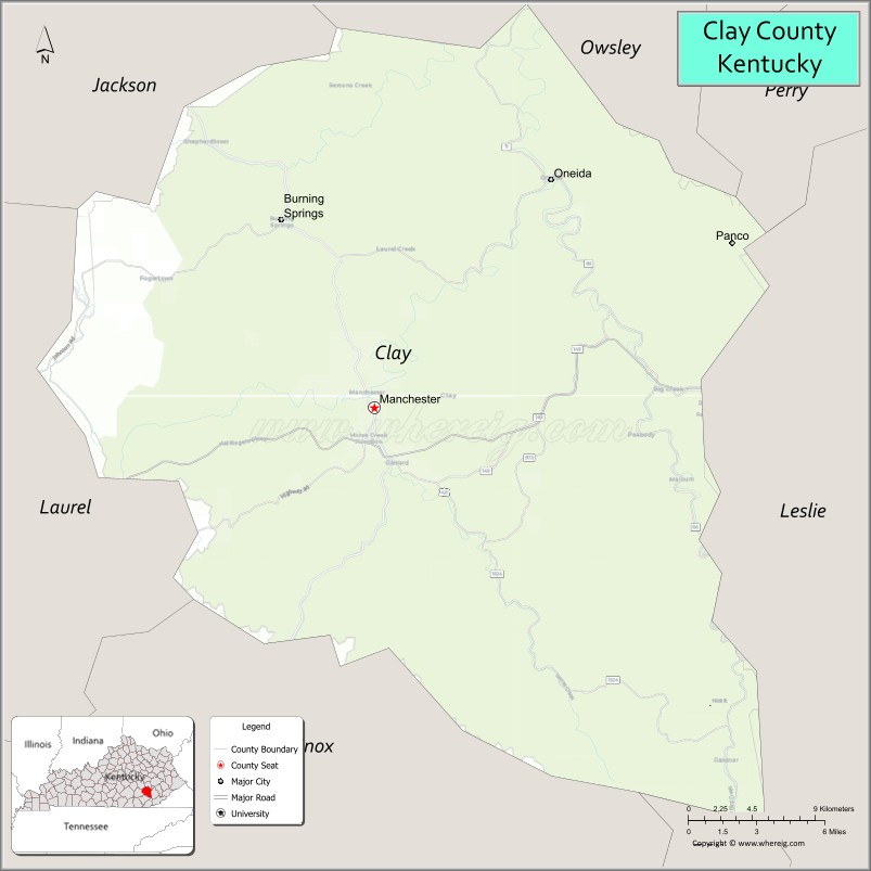
Adjacent counties
- Owsley County (north)
- Perry County (northeast)
- Leslie County (east)
- Bell County (southeast)
- Knox County (southwest)
- Laurel County (west)
- Jackson County (northwest)
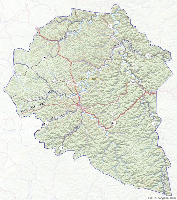
Watercourses
- Sexton Creek
- Bullskin Creek
- South Fork of Kentucky River
- Red Bird River
- Big Creek
- Bear Creek
- Goose Creek
- Horse Creek
- Laurel Creek
- Little Goose Creek
- Wildcat Creek
- Collins Creek
- Red Bird River
- South Fork of Rockcastle River
Clay County Topographic Map
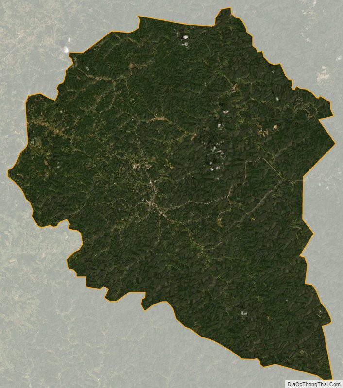
Clay County Satellite Map
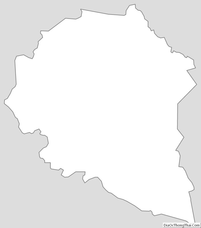
Clay County Outline Map