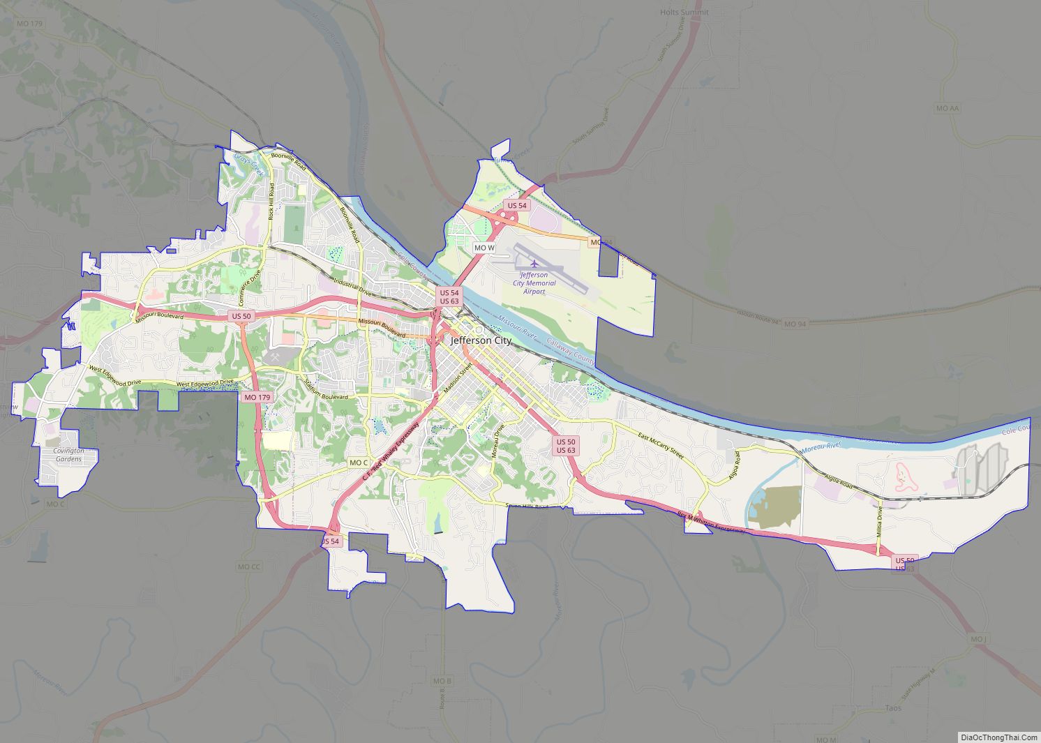
Cole County is located in the central part of the U.S. state of Missouri. As of the 2020 census, its population was 77,279. Its county seat and largest city is Jefferson City, the state capital. The county was organized November 16, 1820 and named after pioneer William Temple Cole who built Cole’s Fort in Boonville.
Cole County is in the Jefferson City, MO Metropolitan Statistical Area. It is south of the Missouri River.
In 2010, the center of the population of Missouri was in Cole County, near the village of Wardsville.
| Name: | Cole County |
|---|---|
| FIPS code: | 29-051 |
| State: | Missouri |
| Founded: | 1820 |
| Named for: | Stephen Cole |
| Seat: | Jefferson City |
| Largest city: | Jefferson City |
| Total Area: | 402 sq mi (1,040 km²) |
| Land Area: | 394 sq mi (1,020 km²) |
| Total Population: | 77,279 |
| Population Density: | 190/sq mi (74/km²) |
| Time zone: | UTC−6 (Central) |
| Summer Time Zone (DST): | UTC−5 (CDT) |
| Website: | www.colecounty.org |
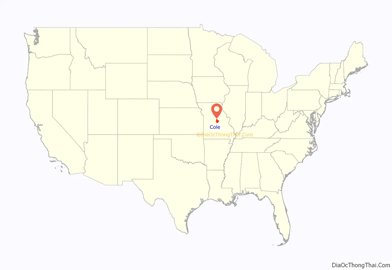
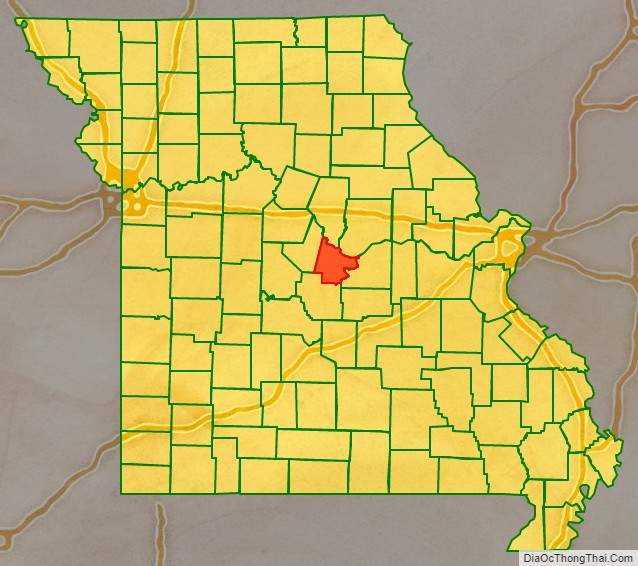
Cole County location map. Where is Cole County?
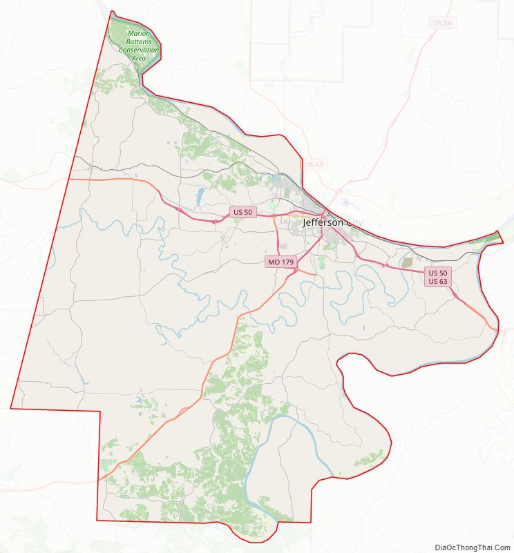
Cole County Road Map
Geography
According to the U.S. Census Bureau, the county has a total area of 402 square miles (1,040 km), of which 394 square miles (1,020 km) is land and 8.2 square miles (21 km) (2.0%) is water. It is the third-smallest county in Missouri by area.
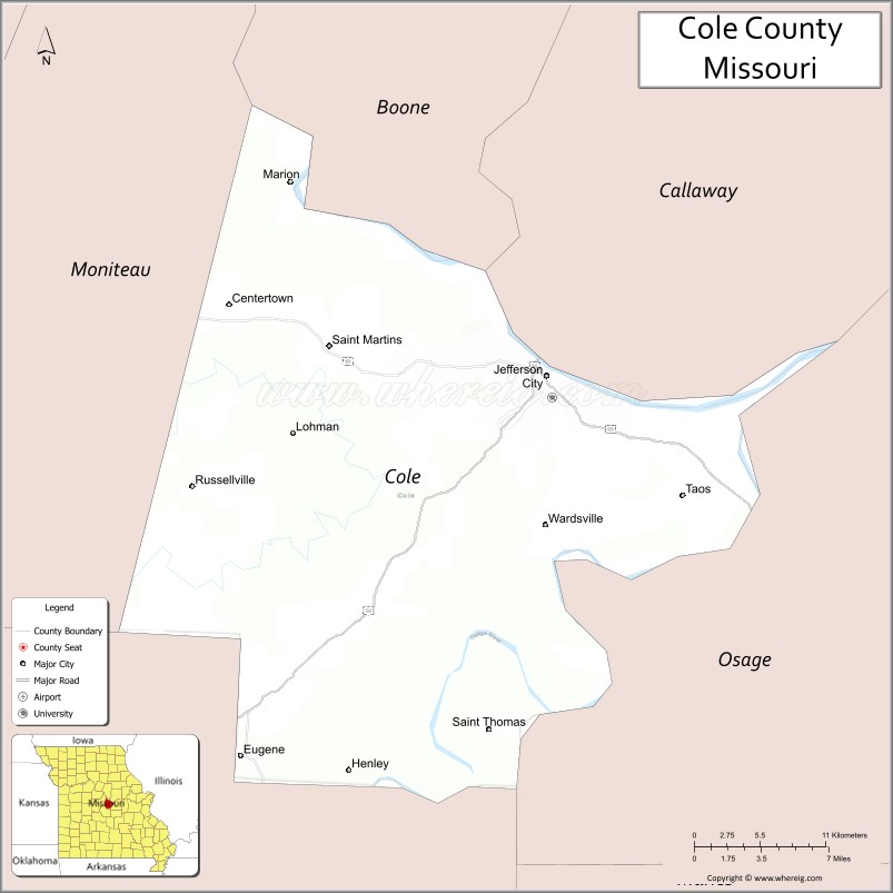
Adjacent counties
- Boone County (north)
- Callaway County (northeast)
- Osage County (southeast)
- Miller County (southwest)
- Moniteau County (northwest)
Major highways
- U.S. Route 50
- U.S. Route 54
- U.S. Route 63
- Route 17
- Route 179
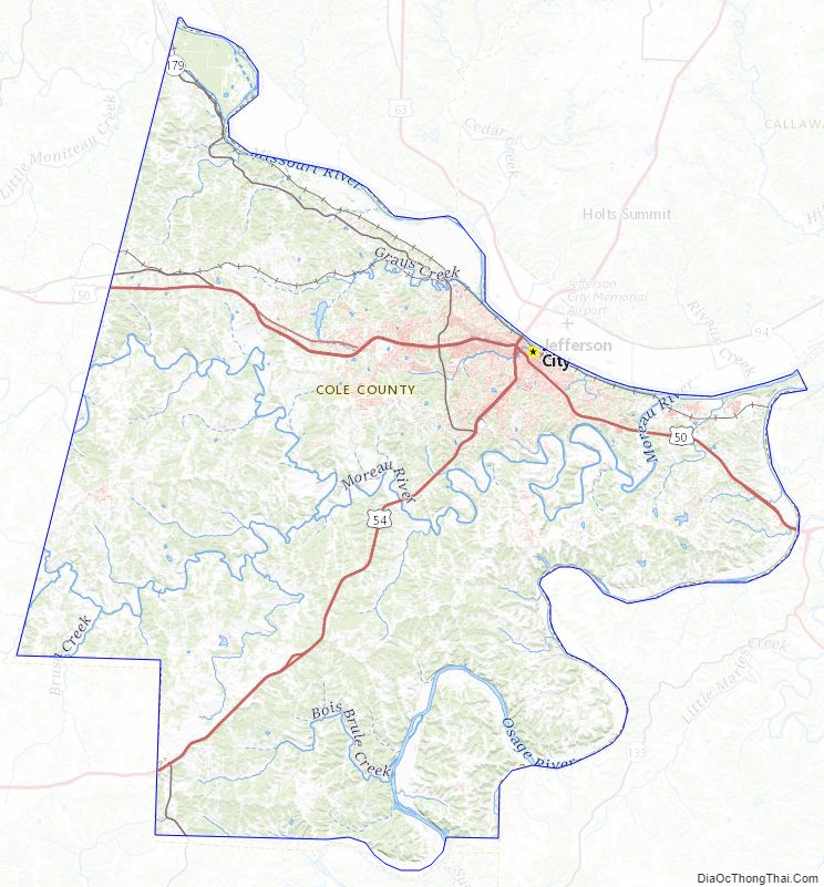
Cole County Topographic Map
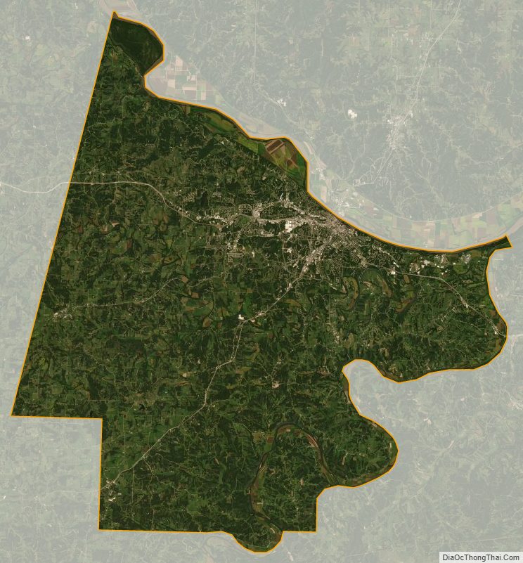
Cole County Satellite Map
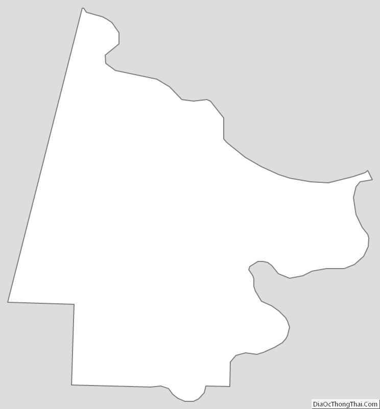
Cole County Outline Map