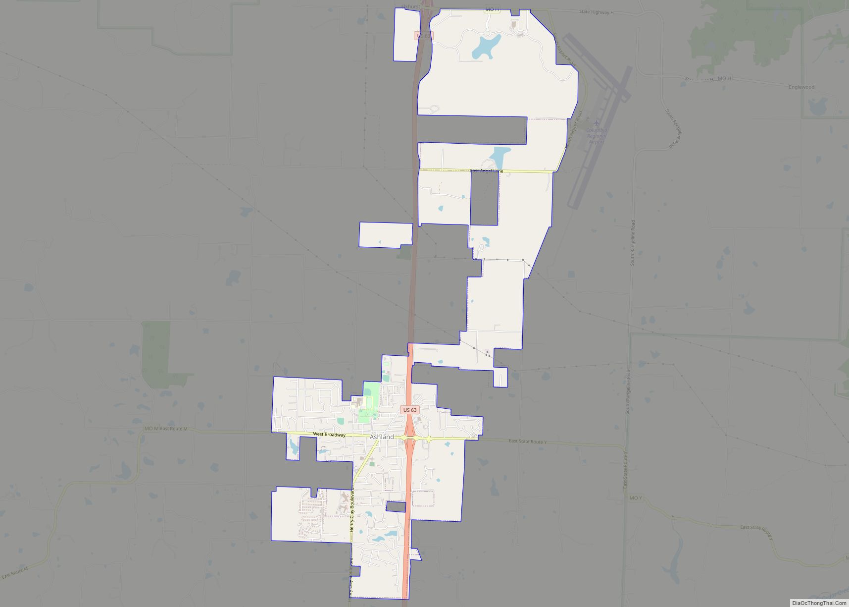
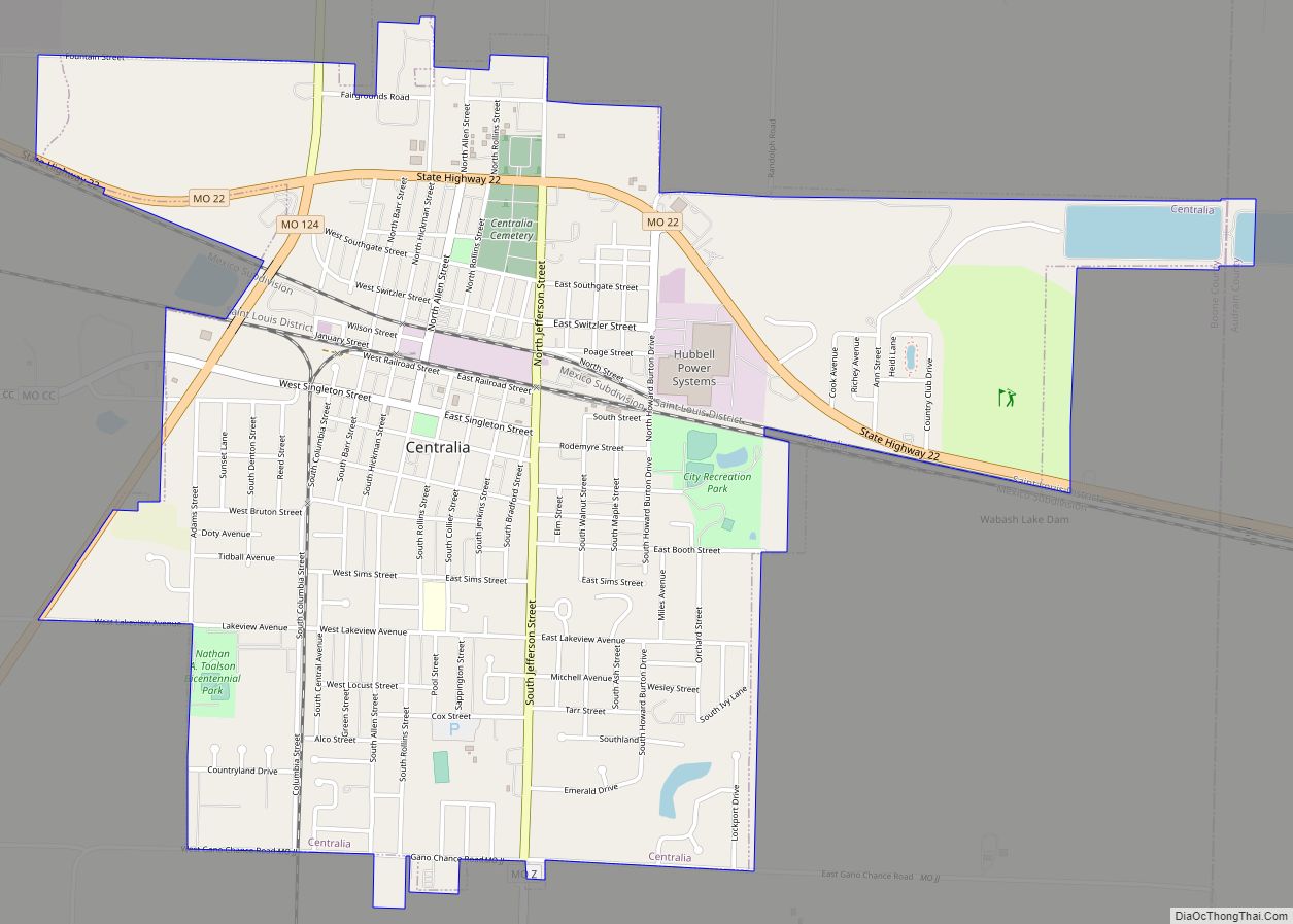
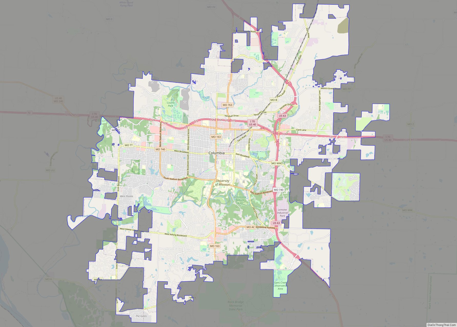
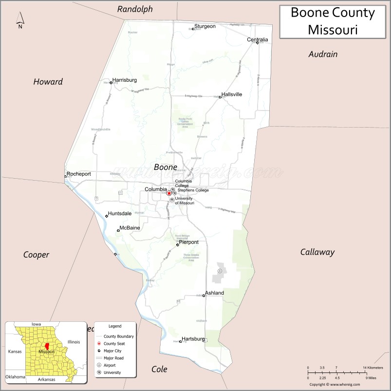
Boone County is located in the U.S. state of Missouri. Centrally located in Mid-Missouri, its county seat is Columbia, Missouri’s fourth-largest city and location of the University of Missouri. As of the 2020 census, the population was 183,610, making it the state’s eighth-most populous county. The county was organized November 16, 1820 and named for the then recently deceased Daniel Boone, whose kin largely populated the Boonslick area, having arrived in the 1810s on the Boone’s Lick Road. Boone County comprises the Columbia Metropolitan Area. The towns of Ashland and Centralia are the second and third most populous towns in the county.
| Name: | Boone County |
|---|---|
| FIPS code: | 29-019 |
| State: | Missouri |
| Founded: | November 16, 1820 |
| Named for: | Daniel Boone |
| Seat: | Columbia |
| Largest city: | Columbia |
| Total Area: | 691 sq mi (1,790 km²) |
| Land Area: | 685 sq mi (1,770 km²) |
| Total Population: | 183,610 |
| Population Density: | 270/sq mi (100/km²) |
| Time zone: | UTC−6 (Central) |
| Summer Time Zone (DST): | UTC−5 (CDT) |
| Website: | www.showmeboone.com |
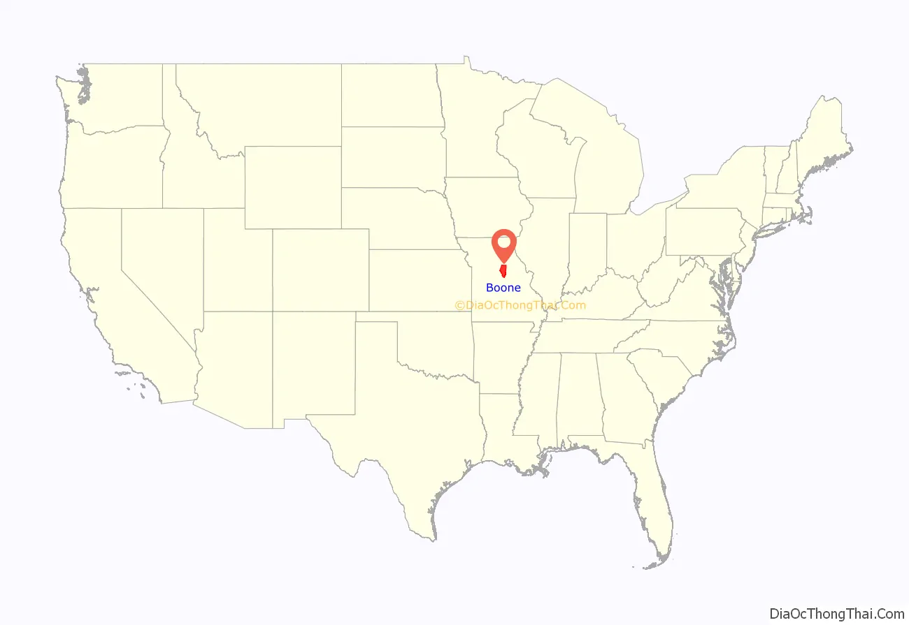
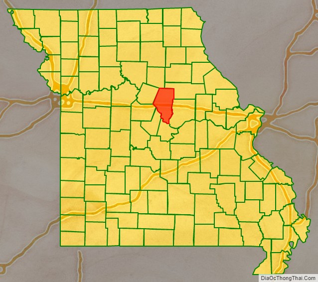
Boone County location map. Where is Boone County?
History
Boone County was organized November 16, 1820, from a portion of the territorial Howard County. The area was then known as Boone’s Lick Country, because of a salt lick which Daniel Boone’s sons used for their stock.
Boone County was settled primarily from the Upper South states of Kentucky, Tennessee and Virginia. The settlers brought slaves and slave-holding with them, and quickly started cultivating crops similar to those in Middle Tennessee and Kentucky: hemp and tobacco. Boone was one of several counties to the north and south of the Missouri River that was settled by southerners. Because of its culture and traditions, the area became known as Little Dixie, and Boone County was at its heart. In 1860 slaves made up 25 percent or more of the county’s population, Boone County was strongly pro-Confederate during the American Civil War.
Shortly after the murder of President Lincoln, the leading citizens of the county denounced the killing. They also directed that all public buildings including the courthouse and the university be draped in mourning for thirty days.
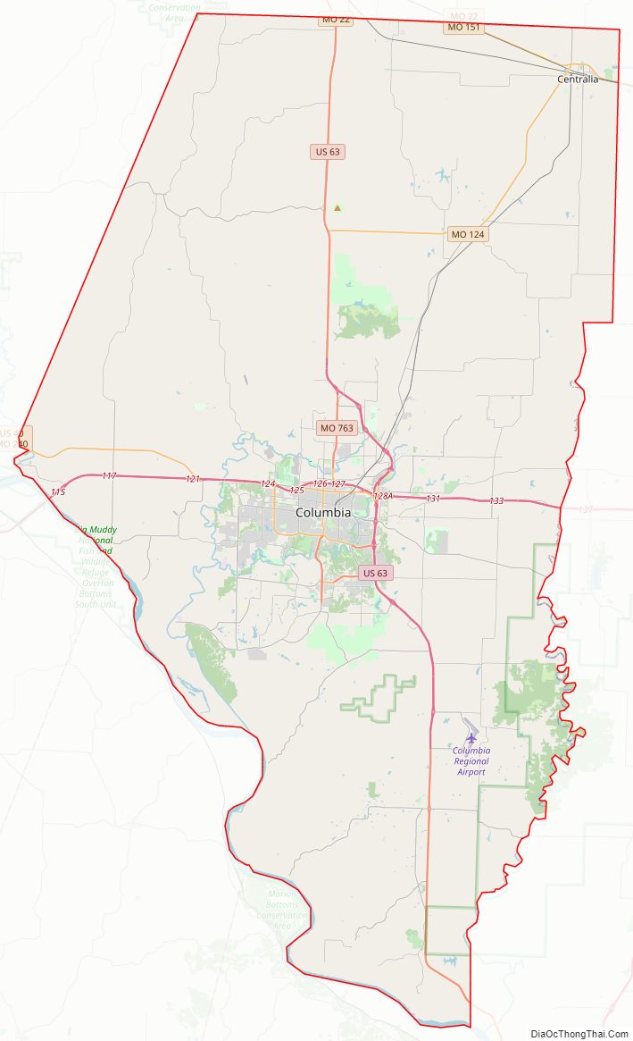
Boone County Road Map
Geography
According to the U.S. Census Bureau, the county has a total area of 691 square miles (1,790 km), of which 685 square miles (1,770 km) is land and 5.6 square miles (15 km) (0.8%) is water. The Missouri River makes up the southern border of the county.
National protected area
- Big Muddy National Fish and Wildlife Refuge
- Mark Twain National Forest (part)
Adjacent counties
- Audrain County (northeast)
- Callaway County (east)
- Cole County (south)
- Cooper County (west)
- Howard County (northwest)
- Moniteau County (southwest)
- Randolph County (north)
Major highways
- Interstate 70
- Interstate 70 Business Loop
- U.S. Route 40
- U.S. Route 63
- US 63 Conn.
- Route 22
- Route 124
- Route 163
- Route 740
- Route 763
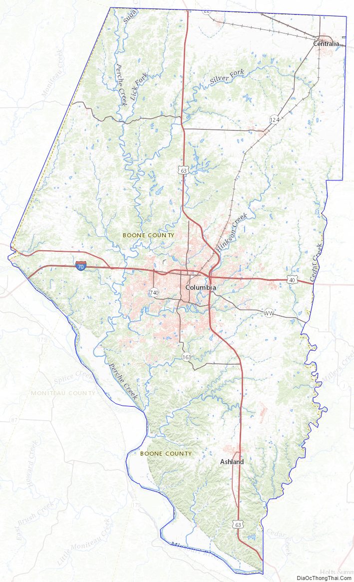
Boone County Topographic Map
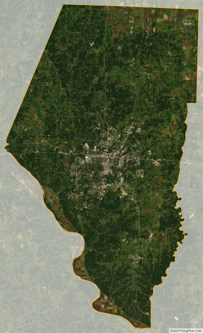
Boone County Satellite Map
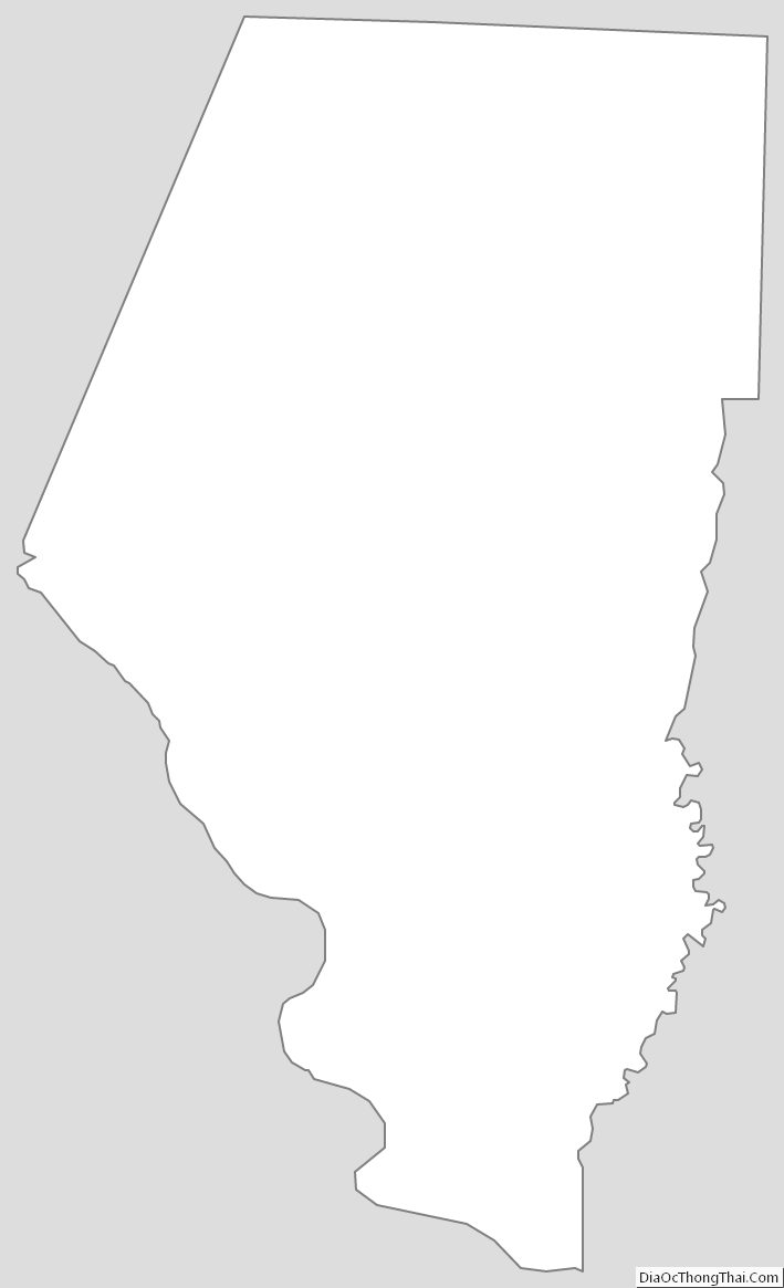
Boone County Outline Map