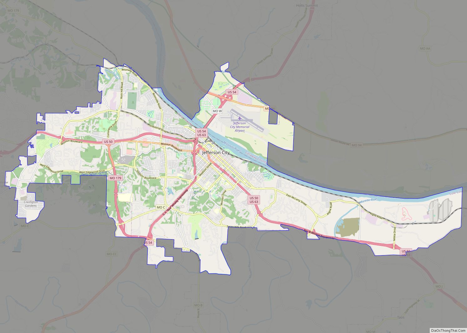
Jefferson City, informally Jeff City, is the capital of the U.S. state of Missouri. It had a population of 43,228 at the 2020 census, ranking as the 15th most populous city in the state. It is also the county seat of Cole County and the principal city of the Jefferson City Metropolitan Statistical Area, the second-most-populous metropolitan area in Mid-Missouri and the fifth-largest in the state. Most of the city is in Cole County, with a small northern section extending into Callaway County. Jefferson City is named for Thomas Jefferson, the third President of the United States.
Jefferson City is located on the northern edge of the Ozark Plateau on the southern side of the Missouri River in a region known as Mid-Missouri, that is roughly mid-way between the state’s two large urban areas of Kansas City and St. Louis. It is 29 miles (47 km) south of Columbia, Missouri, and sits at the western edge of the Missouri Rhineland, one of the major wine-producing regions of the Midwest. The city is dominated by the domed Capitol, which rises from a bluff overlooking the Missouri River to the north; Lewis and Clark passed the bluff on their historic expedition upriver before Europeans established any settlement there.
Many of Jefferson City’s primary employers are in service and manufacturing industries. Jefferson City is also home to Lincoln University, a public historically black land-grant university founded in 1866 by the 62nd Regiment of U.S. Colored Troops with support from the 65th Regiment of U.S. Colored Troops.
| Name: | Jefferson City city |
|---|---|
| LSAD Code: | 25 |
| LSAD Description: | city (suffix) |
| State: | Missouri |
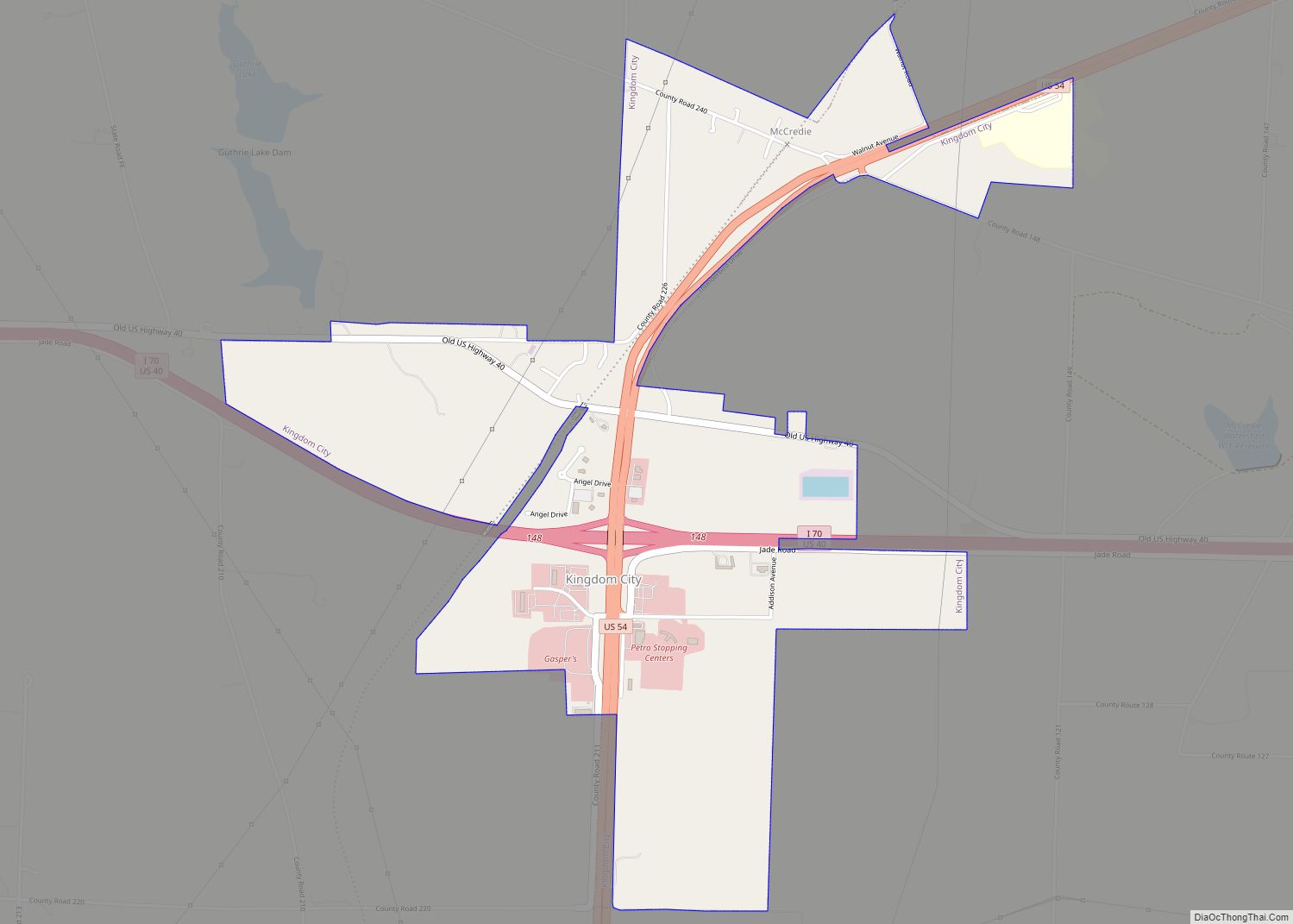
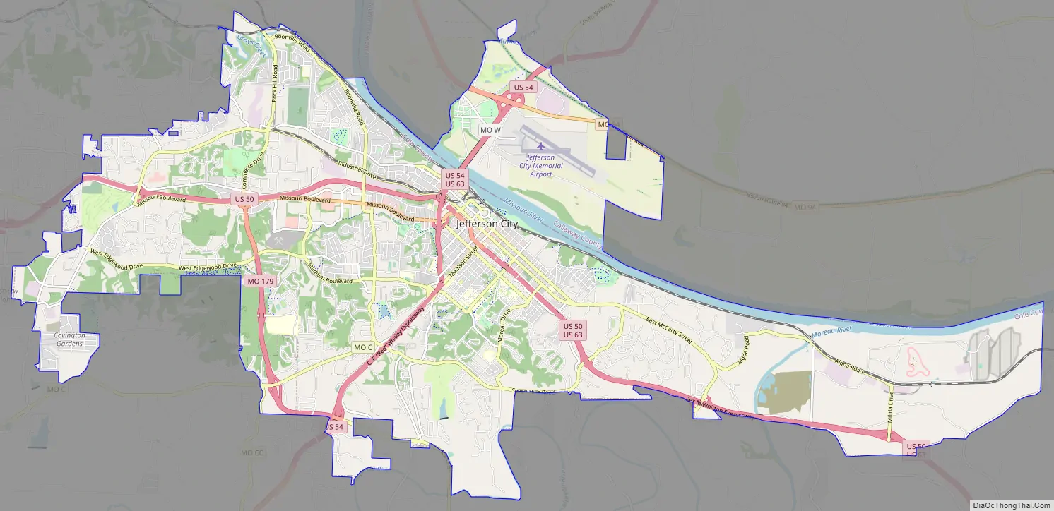
| County: | Callaway County, Cole County |
| Founded: | 1821 |
| Incorporated: | 1825 |
| Elevation: | 630 ft (192 m) |
| Land Area: | 36.05 sq mi (93.38 km²) |
| Water Area: | 1.60 sq mi (4.13 km²) |
| Population Density: | 1,198.98/sq mi (462.93/km²) |
| ZIP code: | 65101-65111 |
| Area code: | 573 |
| FIPS code: | 2937000 |
| Website: | jeffersoncitymo.gov |
Online Interactive Map
Click on ![]() to view map in "full screen" mode.
to view map in "full screen" mode.
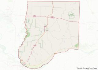
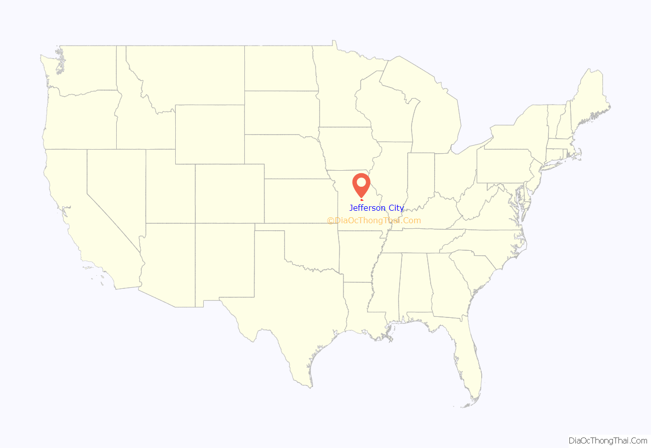
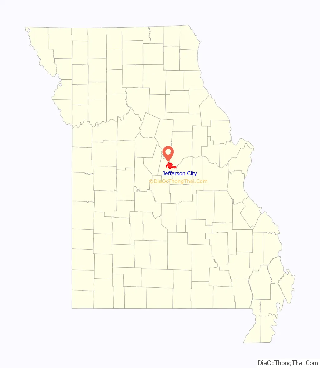
Jefferson City location map. Where is Jefferson City city?
History
In pre-Columbian times, this region was home of an ancient people known only as the “Mound Builders”, being replaced by Osage Native Americans. In the late 17th century, frontiersmen started to inhabit the area, including Antoine de la Mothe Cadillac, Louis Jolliet, Jacques Marquette, Robert de LaSalle, and Daniel Boone, with the latter having the greatest influence on the region. Daniel Boone’s son, Daniel Morgan Boone, would later lay out Jefferson City in the early 19th century.
When the Missouri Territory was organized in 1812, St. Louis was Missouri’s seat of government, and St. Charles would serve as the next capital. However Jefferson City was chosen as the new capital in 1821. The village first was called “Lohman’s Landing”, and when the legislature decided to relocate there, they proposed the name “Missouriopolis” before settling on the city of “Jefferson” to honor Thomas Jefferson. Over the years, the city was most often referred to as “Jefferson City” and the name stuck. For years, this village was little more than a trading post located in the wilderness about midway between St. Louis and Kansas City. In 1825, the settlement was incorporated as a city and a year later, the Missouri legislature first met in Jefferson City.
Jefferson City was chosen as the site of a state prison. This prison, named the Missouri State Penitentiary, opened in 1836. This prison was home to multiple infamous Americans, including former heavyweight champion Sonny Liston, assassin James Earl Ray, and bank robber Pretty Boy Floyd.
During the Civil War, Jefferson City was occupied by Union troops and the elected state legislature was driven from Jefferson City by Union General Nathaniel Lyon. Some of the legislators later reconvened in Neosho and passed an ordinance of secession. Missouri was claimed by both the Confederacy and the Union, as was neighboring state Kentucky. Missourians were strongly divided and many people in the state—especially in St. Louis—supported the Union, while other areas (such as Missouri’s Little Dixie) were strongly pro-Confederate along the Missouri River between Jefferson City and Kansas City.
German immigrants created vineyards in small towns on either side of the Missouri River, especially on the north from the city east to Marthasville, located outside of St. Louis. Known as the “Missouri Rhineland” for its vineyards and first established by German immigrants in the mid-1800s, this region has become part of Missouri’s agricultural and tourist economy.
The city won a 2013 essay contest sponsored by Rand McNally, and was named “Most Beautiful Small Town”.
2019 tornado
Approximately 15 minutes before midnight on May 22, 2019, a tornado emergency was issued for the Jefferson City area. Minutes later, a destructive EF-3 tornado caused extensive damage on the southwest side of the city. At least 20 people were injured, but none were killed due to this tornado.
Jefferson City Road Map
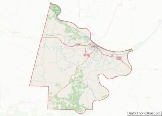
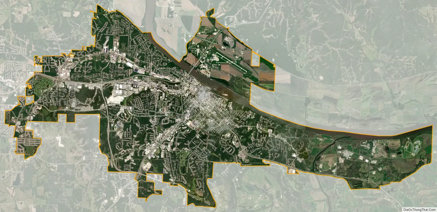
Jefferson City city Satellite Map
Geography
According to the United States Census Bureau, the city has a total area of 37.58 square miles (97.33 km), of which 35.95 square miles (93.11 km) is land and 1.63 square miles (4.22 km) is water.
Climate
Jefferson City has a humid continental climate (Dfa) with hot, rainy summers and cold winters. The city borders on having a humid subtropical climate but falls just short due to January having a mean temperature of 30 °F (−1 °C) which is below the 32 °F (0 °C) isothern. Thunderstorms are common in both the spring and summer. Light snow is common during the winter, although about half of wintertime precipitation falls as rain.
See also
Map of Missouri State and its subdivision:- Adair
- Andrew
- Atchison
- Audrain
- Barry
- Barton
- Bates
- Benton
- Bollinger
- Boone
- Buchanan
- Butler
- Caldwell
- Callaway
- Camden
- Cape Girardeau
- Carroll
- Carter
- Cass
- Cedar
- Chariton
- Christian
- Clark
- Clay
- Clinton
- Cole
- Cooper
- Crawford
- Dade
- Dallas
- Daviess
- De Kalb
- Dent
- Douglas
- Dunklin
- Franklin
- Gasconade
- Gentry
- Greene
- Grundy
- Harrison
- Henry
- Hickory
- Holt
- Howard
- Howell
- Iron
- Jackson
- Jasper
- Jefferson
- Johnson
- Knox
- Laclede
- Lafayette
- Lawrence
- Lewis
- Lincoln
- Linn
- Livingston
- Macon
- Madison
- Maries
- Marion
- McDonald
- Mercer
- Miller
- Mississippi
- Moniteau
- Monroe
- Montgomery
- Morgan
- New Madrid
- Newton
- Nodaway
- Oregon
- Osage
- Ozark
- Pemiscot
- Perry
- Pettis
- Phelps
- Pike
- Platte
- Polk
- Pulaski
- Putnam
- Ralls
- Randolph
- Ray
- Reynolds
- Ripley
- Saint Charles
- Saint Clair
- Saint Francois
- Saint Louis
- Sainte Genevieve
- Saline
- Schuyler
- Scotland
- Scott
- Shannon
- Shelby
- Stoddard
- Stone
- Sullivan
- Taney
- Texas
- Vernon
- Warren
- Washington
- Wayne
- Webster
- Worth
- Wright
- Alabama
- Alaska
- Arizona
- Arkansas
- California
- Colorado
- Connecticut
- Delaware
- District of Columbia
- Florida
- Georgia
- Hawaii
- Idaho
- Illinois
- Indiana
- Iowa
- Kansas
- Kentucky
- Louisiana
- Maine
- Maryland
- Massachusetts
- Michigan
- Minnesota
- Mississippi
- Missouri
- Montana
- Nebraska
- Nevada
- New Hampshire
- New Jersey
- New Mexico
- New York
- North Carolina
- North Dakota
- Ohio
- Oklahoma
- Oregon
- Pennsylvania
- Rhode Island
- South Carolina
- South Dakota
- Tennessee
- Texas
- Utah
- Vermont
- Virginia
- Washington
- West Virginia
- Wisconsin
- Wyoming