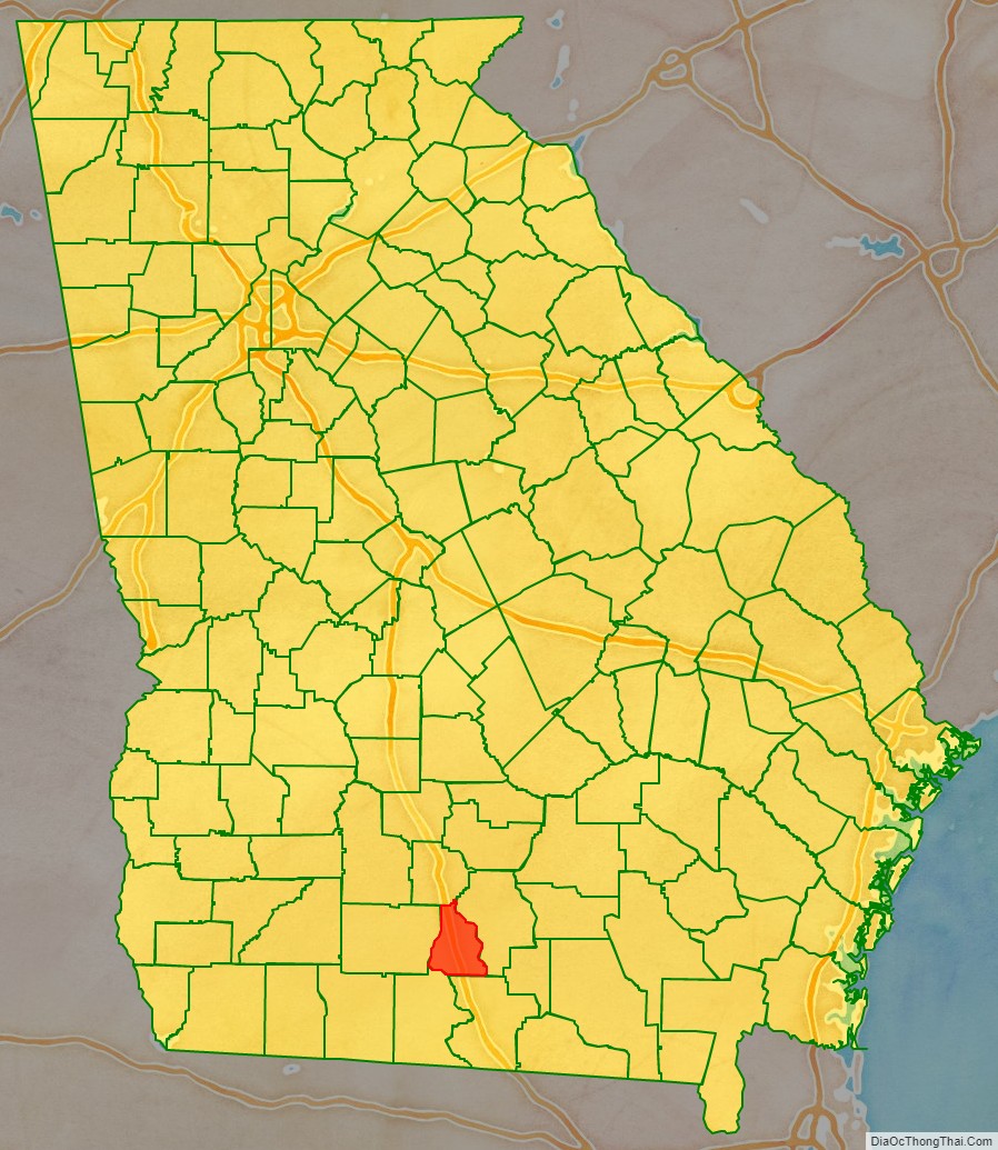
Cook County is a county located in the south central portion of the U.S. state of Georgia. As of the 2020 census, the population was 17,229. The county seat is Adel. The constitutional amendment to create the county was proposed July 30, 1918, and ratified November 5, 1918. It is named for former Civil War general Philip Cook of the Confederate States Army.
Reed Bingham State Park is in Cook County.
| Name: | Cook County |
|---|---|
| FIPS code: | 13-075 |
| State: | Georgia |
| Founded: | 1918 |
| Named for: | Philip Cook |
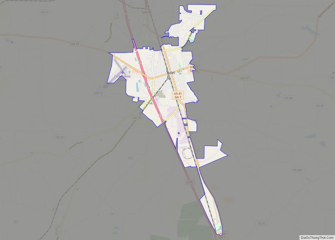
| Seat: | Adel |
| Largest city: | Adel |
| Total Area: | 233 sq mi (600 km²) |
| Land Area: | 227 sq mi (590 km²) |
| Total Population: | 17,229 |
| Population Density: | 76/sq mi (29/km²) |
| Time zone: | UTC−5 (Eastern) |
| Summer Time Zone (DST): | UTC−4 (EDT) |
| Website: | www.cookcountyga.us |
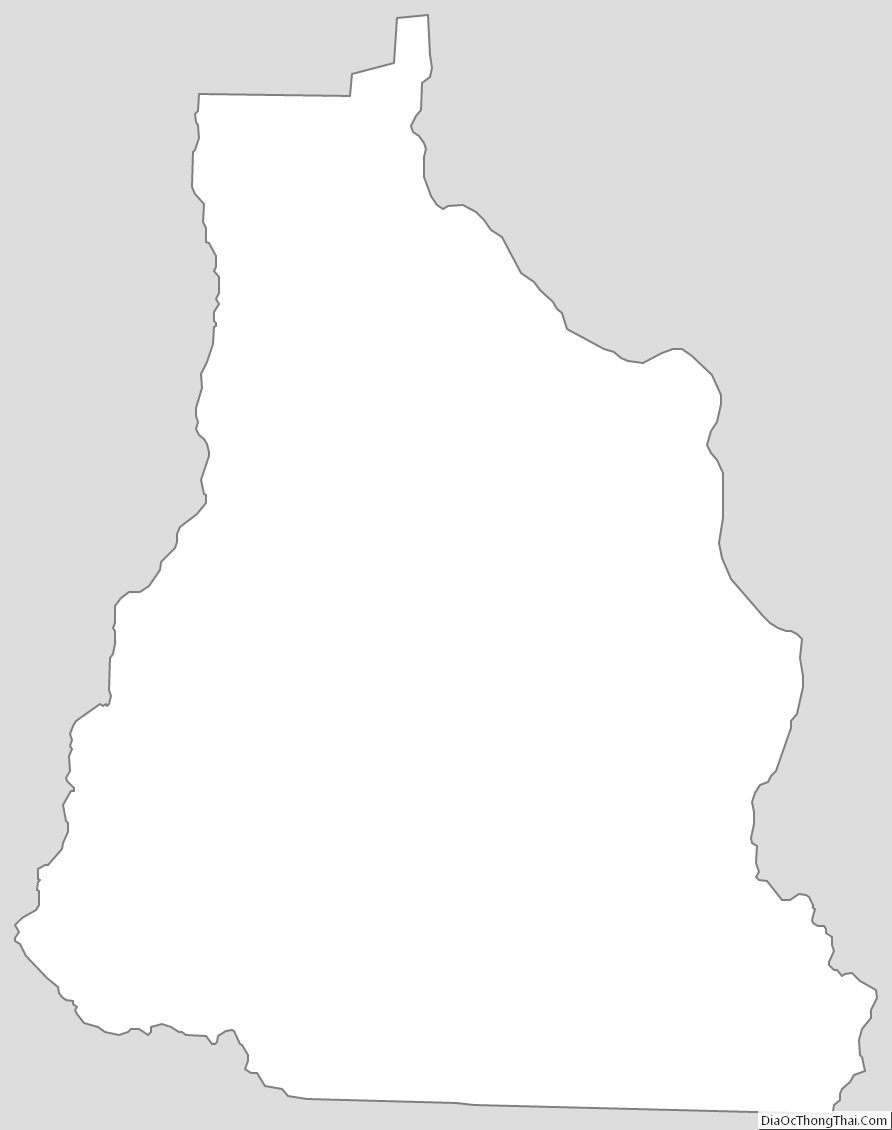
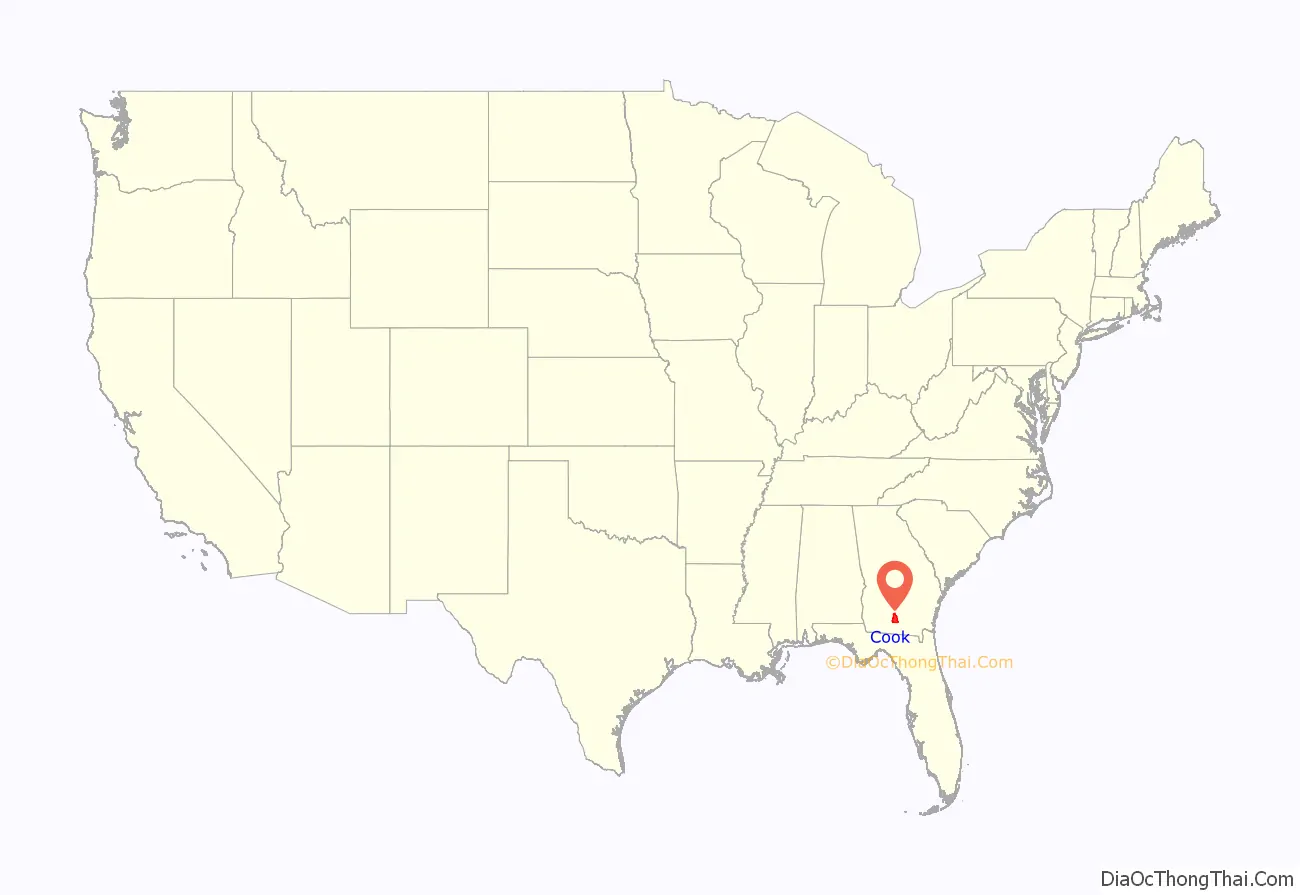
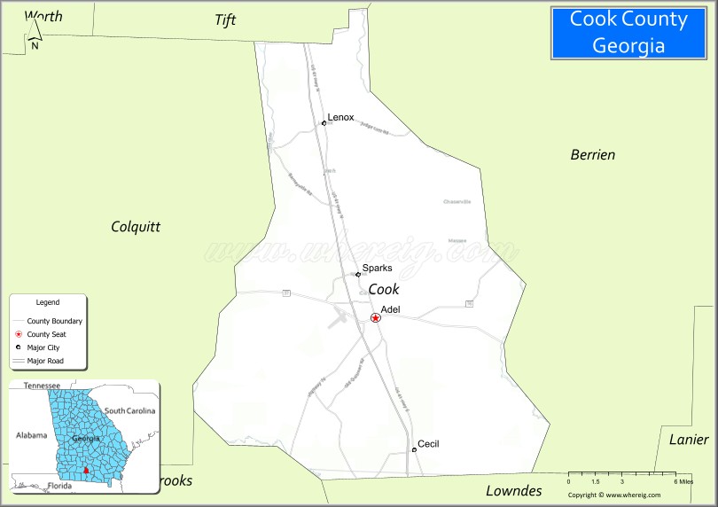
Cook County location map. Where is Cook County?
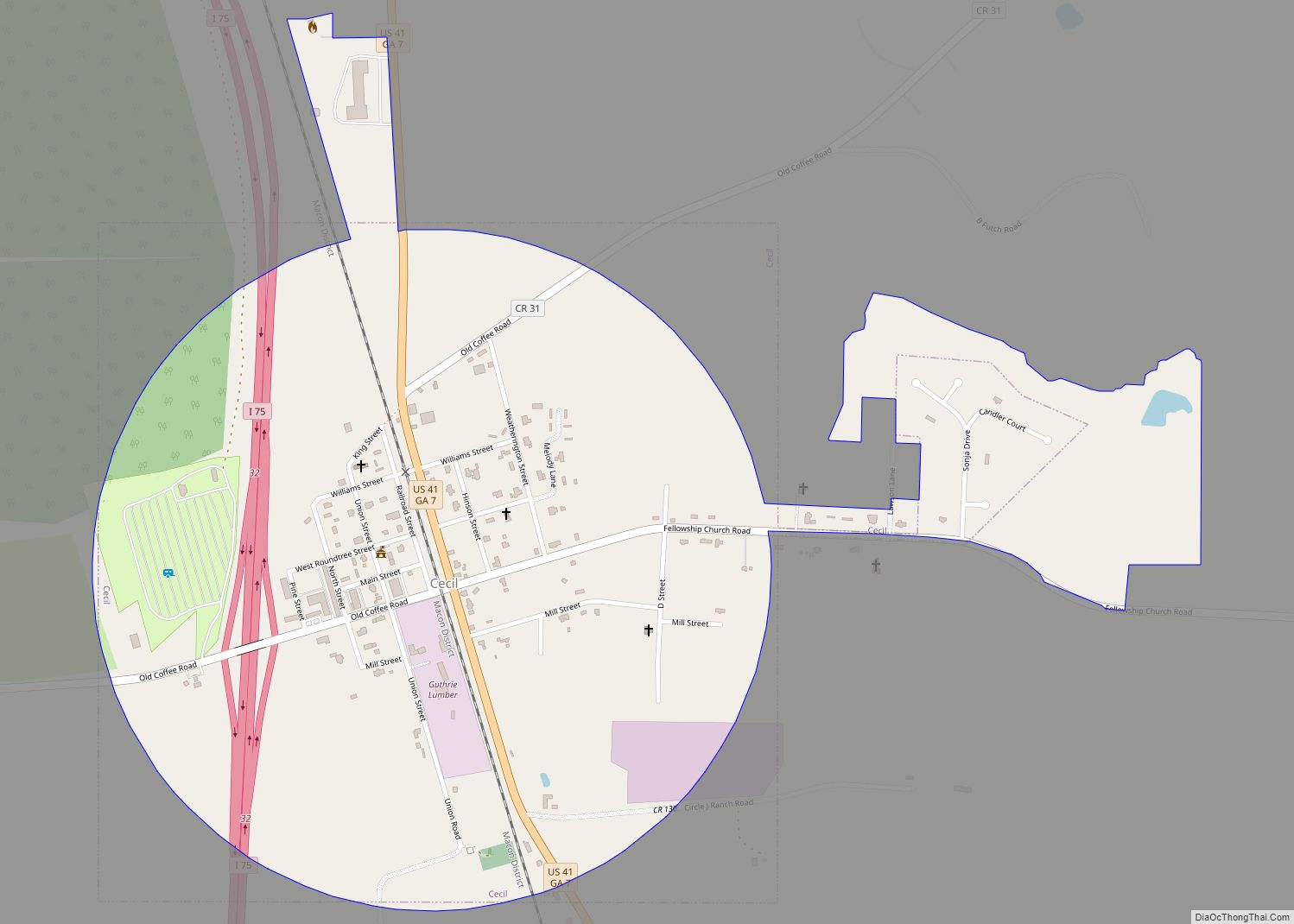
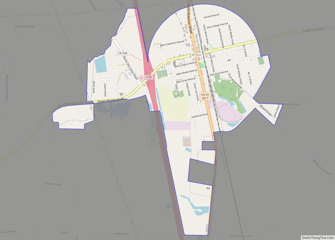
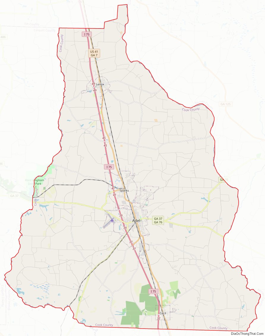
Cook County Road Map
Geography
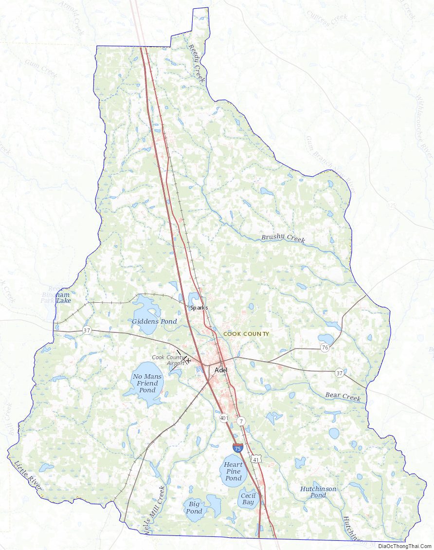
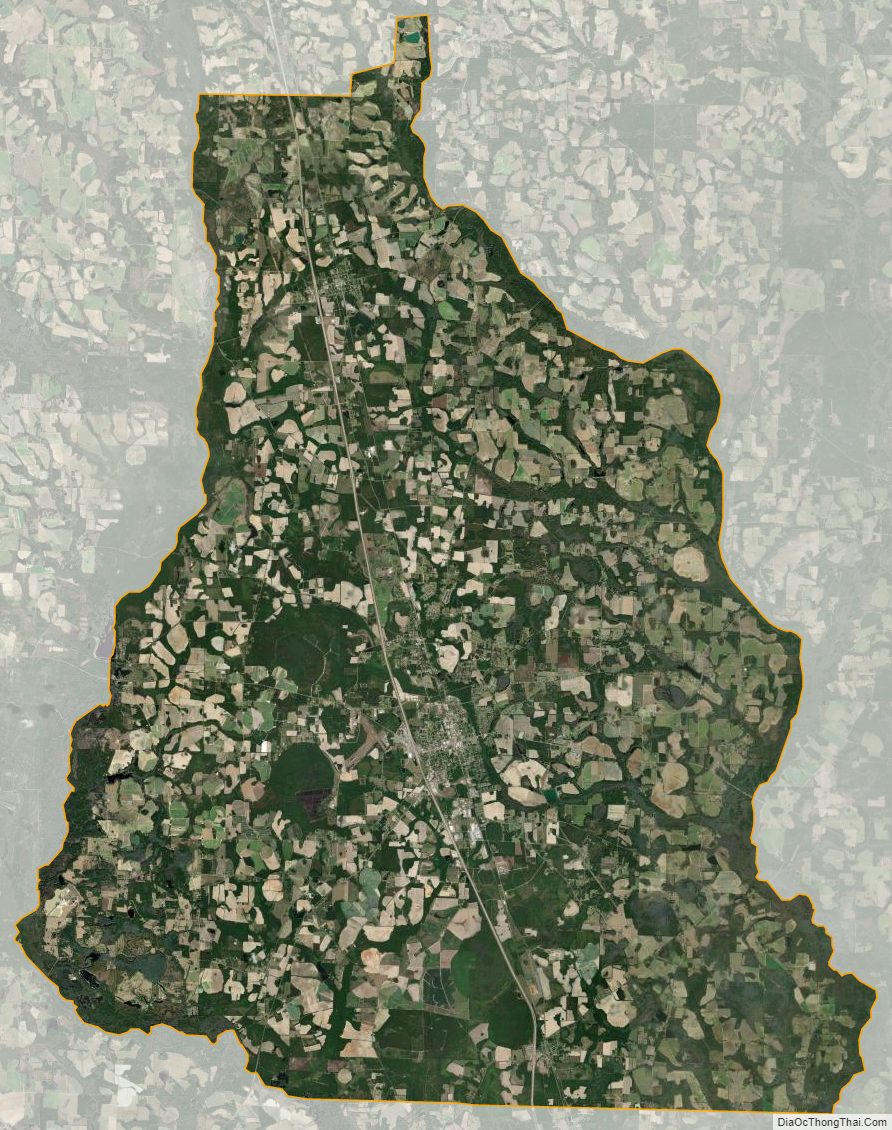
According to the U.S. Census Bureau, the county has a total area of 233 square miles (600 km), of which 227 square miles (590 km) is land and 6.0 square miles (16 km) (2.6%) is water.
The western half of Cook County, located roughly west of Interstate 75, is located in the Little River sub-basin of the Suwannee River basin. The eastern half of the county is located in the Withlacoochee River sub-basin of the same Suwannee River basin.
Major highways
- Interstate 75
- U.S. Route 41
- State Route 7
- State Route 37
- State Route 76
- State Route 401 (unsigned designation for I-75)
Adjacent counties
- Tift County (north)
- Berrien County (east)
- Lowndes County (southeast)
- Brooks County (southwest)
- Colquitt County (west)
Cook County Topographic Map
Cook County Satellite Map
Cook County Outline Map