| Name: | Custer County |
|---|---|
| FIPS code: | 16-037 |
| State: | Idaho |
| Founded: | January 8, 1881 |
| Named for: | General Custer gold mine |
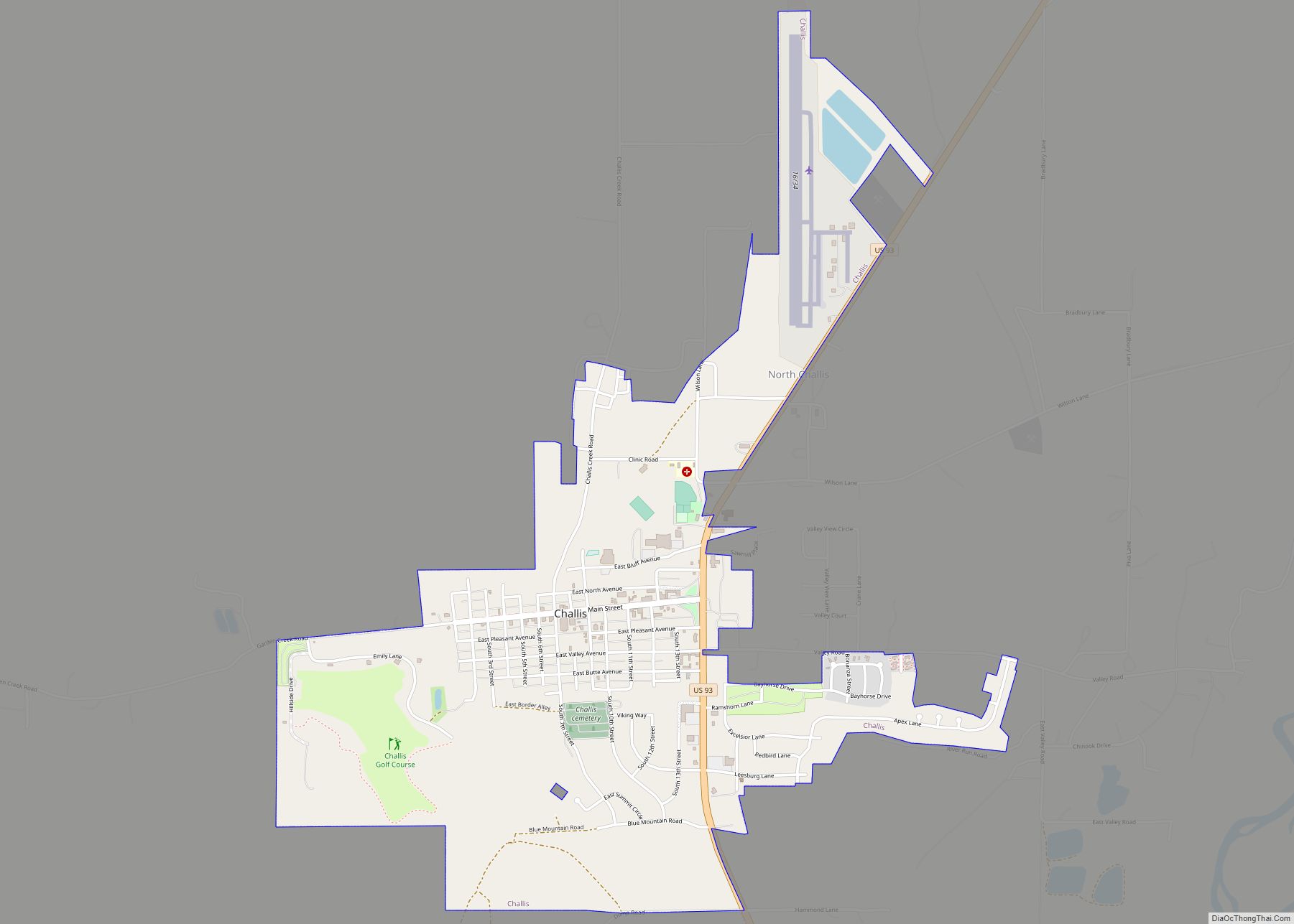
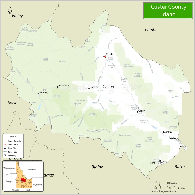
| Seat: | Challis |
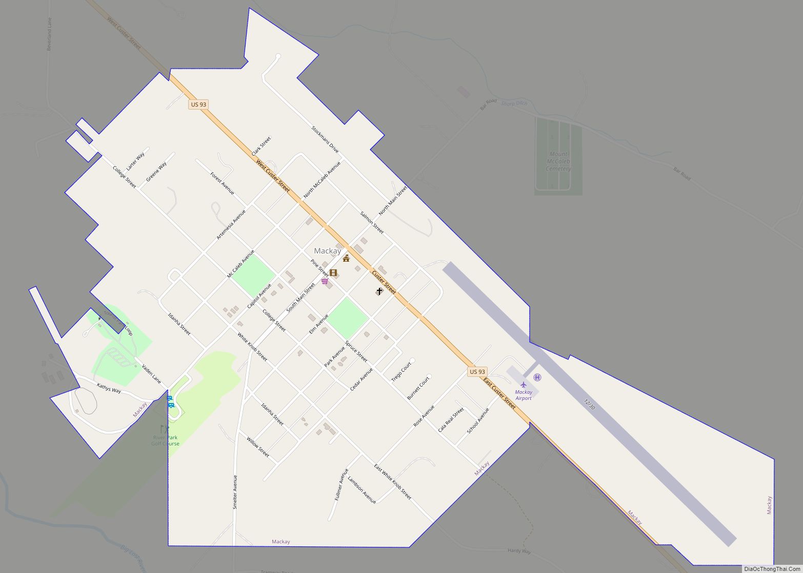
| Largest city: | Challis |
| Total Area: | 4,937 sq mi (12,790 km²) |
| Land Area: | 4,921 sq mi (12,750 km²) |
| Total Population: | 4,249 |
| Population Density: | 0.88/sq mi (0.34/km²) |
| Time zone: | UTC−7 (Mountain) |
| Summer Time Zone (DST): | UTC−6 (MDT) |
| Website: | www.co.custer.id.us |
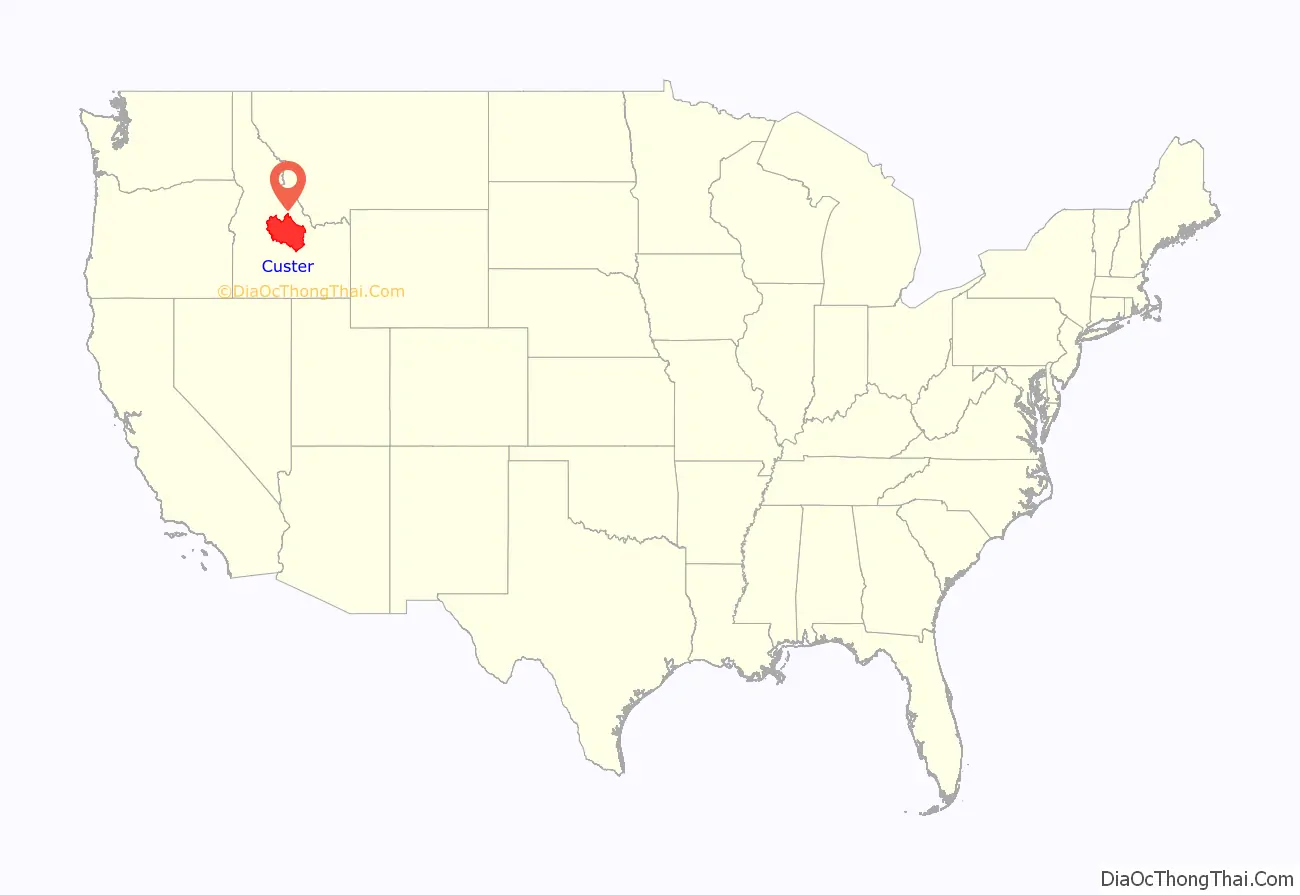
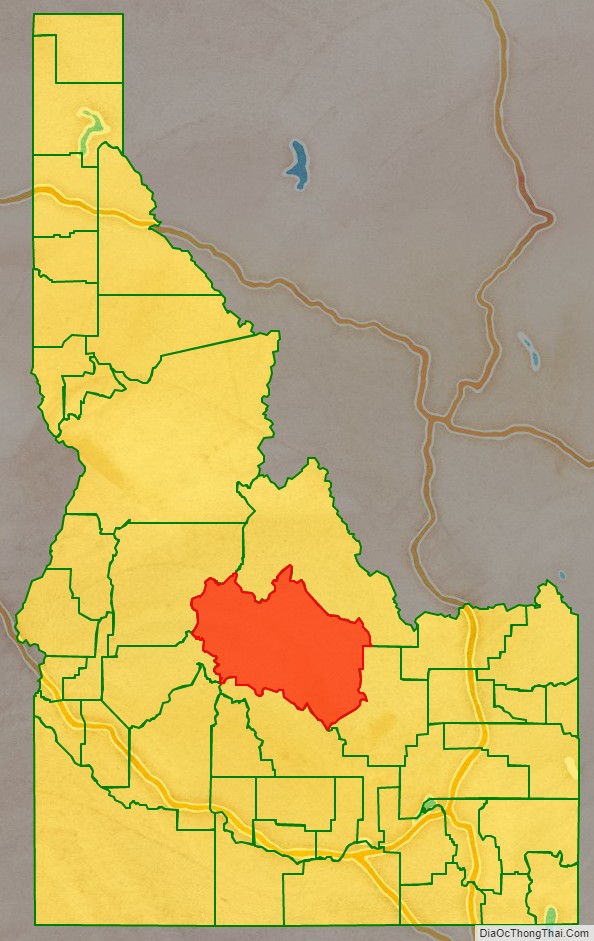
Custer County location map. Where is Custer County?
Custer County Road Map
Geography
According to the U.S. Census Bureau, the county has a total area of 4,937 square miles (12,790 km), of which 4,721 square miles (12,230 km) is land and 16 square miles (41 km) (0.3%) is water. It is the third-largest county in Idaho by area.
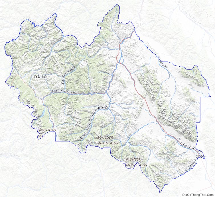
The Lost River Range, the state’s highest mountains, are located in eastern Custer County. The highest is Borah Peak, the highest natural point in Idaho at 12,662 feet (3,859 m). On the western border of the county is Idaho’s famous Sawtooth Range; the tallest is Thompson Peak in Custer County, above picturesque Redfish Lake. Twenty miles (32 km) east are the White Cloud Mountains, the tallest of which is Castle Peak at 11,815 feet (3,601 m).
The Salmon River and Big Lost River flow through Custer County.
Adjacent counties
- Lemhi County – north
- Butte County – east
- Blaine County – south
- Elmore County – southwest
- Boise County – southwest
- Valley County – west
Major highways
- US 93
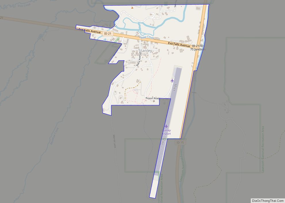
- SH-21
- SH-75
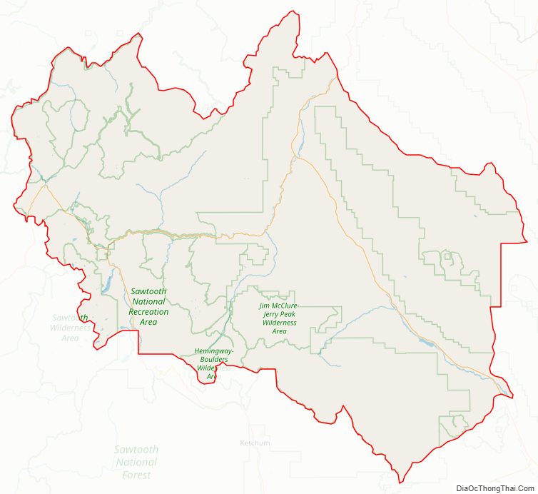
National protected areas
- Challis National Forest (part)
- Sawtooth National Forest (part)
- Sawtooth National Recreation Area (part)
- Hemingway–Boulders Wilderness (part)
- Jim McClure–Jerry Peak Wilderness
- Sawtooth Wilderness (part)
- Cecil D. Andrus–White Clouds Wilderness
Custer County Topographic Map
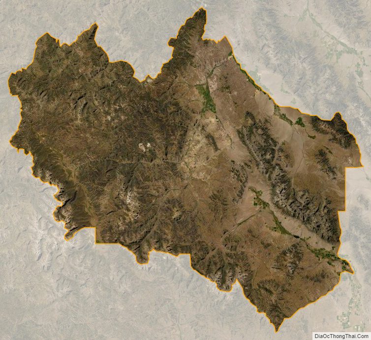
Custer County Satellite Map
Custer County Outline Map