Stanley is a town in the Sawtooth Valley in Custer County, Idaho, United States. The population was 116 at the 2020 census; up from 63 in 2010. The center of population of Idaho in 2000 was located in Stanley.
| Name: | Stanley city |
|---|---|
| LSAD Code: | 25 |
| LSAD Description: | city (suffix) |
| State: | Idaho |
| County: | Custer County |
| Elevation: | 6,253 ft (1,906 m) |
| Total Area: | 0.55 sq mi (1.42 km²) |
| Land Area: | 0.54 sq mi (1.41 km²) |
| Water Area: | 0.01 sq mi (0.01 km²) |
| Total Population: | 116 |
| Population Density: | 127.07/sq mi (49.10/km²) |
| ZIP code: | 83278 |
| Area code: | 208 |
| FIPS code: | 1676780 |
| GNISfeature ID: | 0398179 |
| Website: | www.stanley.id.gov |
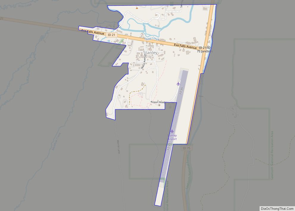
Online Interactive Map
Click on ![]() to view map in "full screen" mode.
to view map in "full screen" mode.
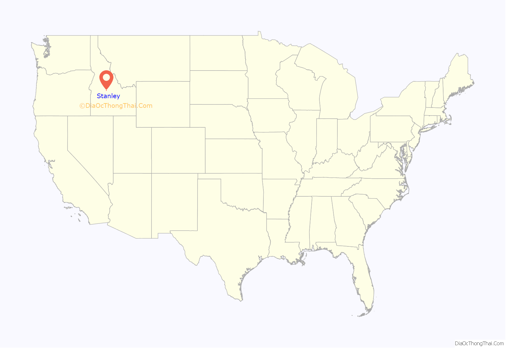
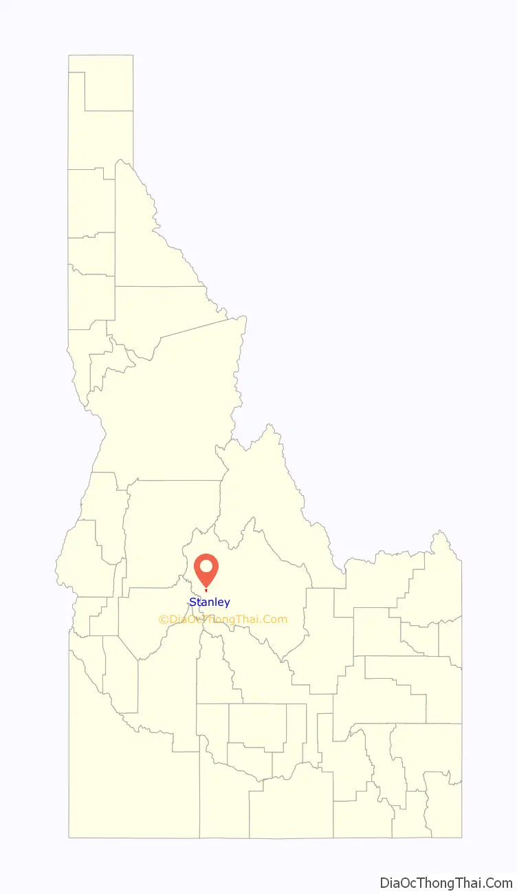
Stanley location map. Where is Stanley city?
History
Fur trappers of the Hudson’s Bay Company discovered the Stanley Basin in the 1820s, but it was mostly avoided due to scarcity of beaver. Captain John Stanley, a Confederate Civil War veteran, led a party of twenty-three prospectors through the area in 1863 (or 1864), but they found little gold and moved on and discovered the Atlanta lode on the south end of the Sawtooths. The site was not considered a town until 1919 when its streets and lots were surveyed and recorded.
Stanley has long been a gathering place for the sparsely populated region.
In 2005, Hannah Stauts won the city’s mayoral election at age 22 to become the state’s youngest elected mayor.
The 2017 solar eclipse attracted a large number of visitors to Stanley and surrounding areas. The Milky Way is clearly visible in Stanley, and the town has sought the seal of approval from the International Dark-Sky Association.
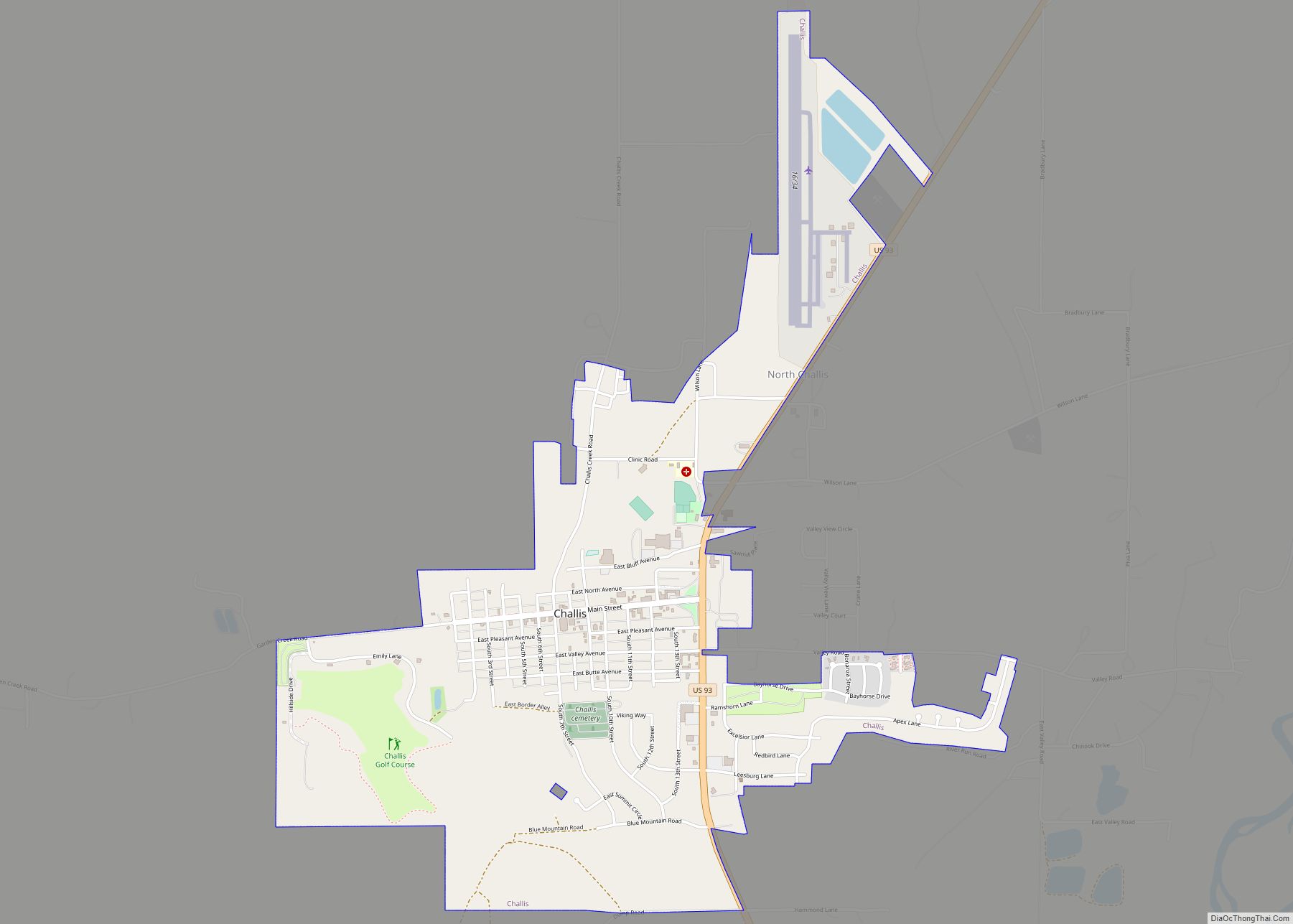
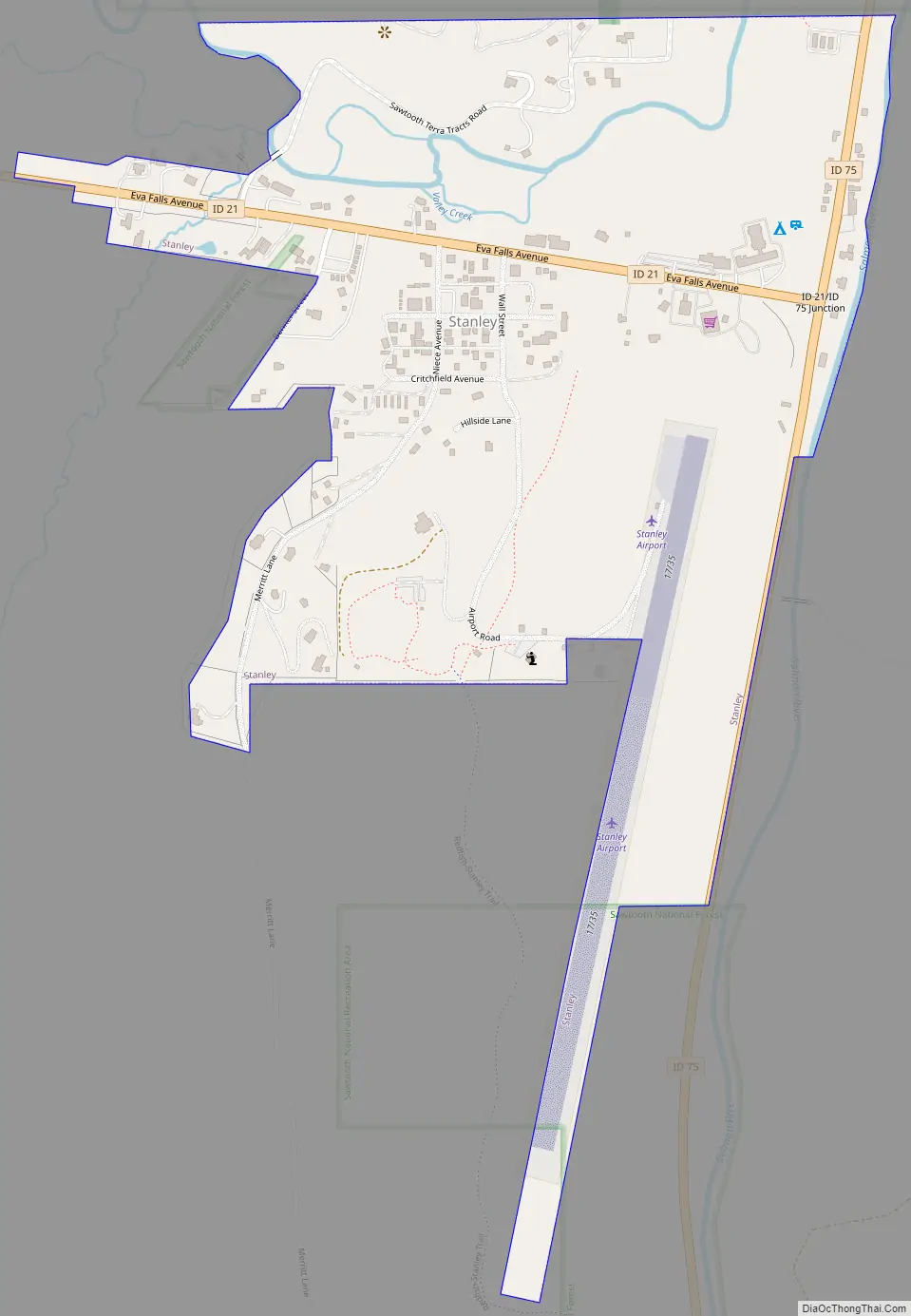
Stanley Road Map
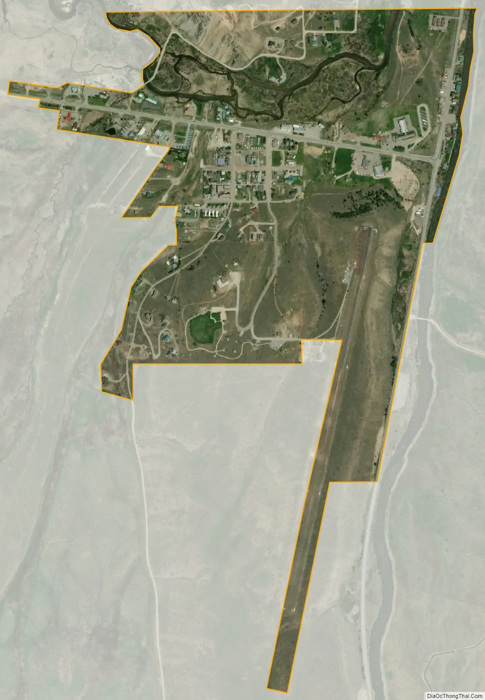
Stanley city Satellite Map
Geography
Stanley is located at 44°13′0″N 114°56′16″W / 44.21667°N 114.93778°W / 44.21667; -114.93778 (44.216698, -114.937814), at an elevation of 6,253 feet (1,906 m) above sea level
According to the United States Census Bureau, the city has a total area of 0.62 square miles (1.61 km), of which, 0.61 square miles (1.58 km) is land and 0.01 square miles (0.03 km) is water. Stanley is surrounded by the Sawtooth National Recreation Area.
Major highways
- SH-21 – Ponderosa Pine Scenic Byway
- SH-75 – Sawtooth Scenic Byway (southbound), Salmon River Scenic Byway (northbound)
See also
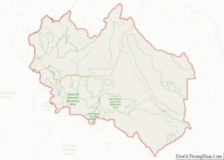
Map of Idaho State and its subdivision:- Ada
- Adams
- Bannock
- Bear Lake
- Benewah
- Bingham
- Blaine
- Boise
- Bonner
- Bonneville
- Boundary
- Butte
- Camas
- Canyon
- Caribou
- Cassia
- Clark
- Clearwater
- Custer
- Elmore
- Franklin
- Fremont
- Gem
- Gooding
- Idaho
- Jefferson
- Jerome
- Kootenai
- Latah
- Lemhi
- Lewis
- Lincoln
- Madison
- Minidoka
- Nez Perce
- Oneida
- Owyhee
- Payette
- Power
- Shoshone
- Teton
- Twin Falls
- Valley
- Washington
- Alabama
- Alaska
- Arizona
- Arkansas
- California
- Colorado
- Connecticut
- Delaware
- District of Columbia
- Florida
- Georgia
- Hawaii
- Idaho
- Illinois
- Indiana
- Iowa
- Kansas
- Kentucky
- Louisiana
- Maine
- Maryland
- Massachusetts
- Michigan
- Minnesota
- Mississippi
- Missouri
- Montana
- Nebraska
- Nevada
- New Hampshire
- New Jersey
- New Mexico
- New York
- North Carolina
- North Dakota
- Ohio
- Oklahoma
- Oregon
- Pennsylvania
- Rhode Island
- South Carolina
- South Dakota
- Tennessee
- Texas
- Utah
- Vermont
- Virginia
- Washington
- West Virginia
- Wisconsin
- Wyoming