Mackay /mæˈkiː/ (listen)) is a town in Custer County, Idaho, United States. The population was 439 at the 2020 census. The town is pronounced “Mackie” with the accent on the first syllable.
| Name: | Mackay city |
|---|---|
| LSAD Code: | 25 |
| LSAD Description: | city (suffix) |
| State: | Idaho |
| County: | Custer County |
| Elevation: | 5,906 ft (1,800 m) |
| Total Area: | 0.87 sq mi (2.24 km²) |
| Land Area: | 0.87 sq mi (2.24 km²) |
| Water Area: | 0.00 sq mi (0.00 km²) |
| Total Population: | 439 |
| Population Density: | 500/sq mi (200/km²) |
| ZIP code: | 83251 |
| Area code: | 208 |
| FIPS code: | 1649240 |
| GNISfeature ID: | 0397886 |
| Website: | mackayidaho-city.com |
Online Interactive Map
Click on ![]() to view map in "full screen" mode.
to view map in "full screen" mode.
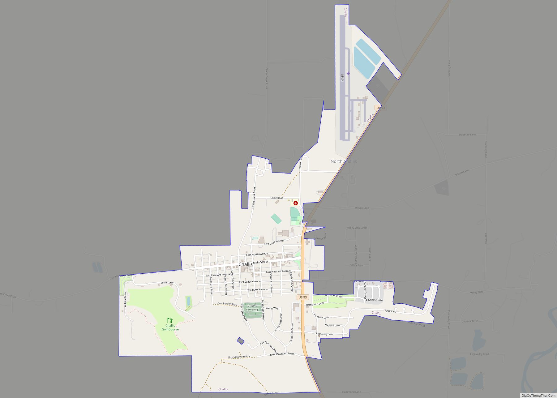
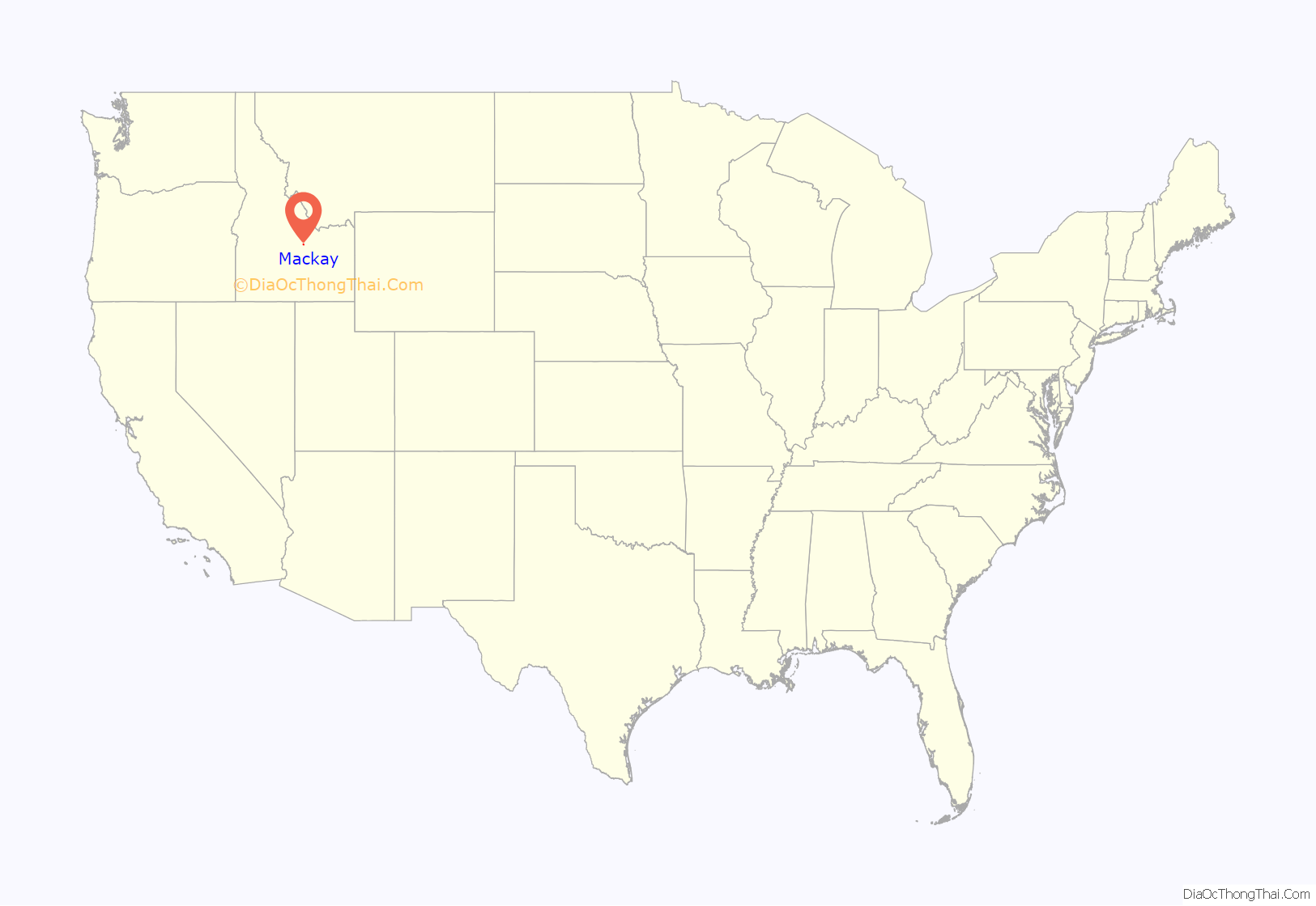
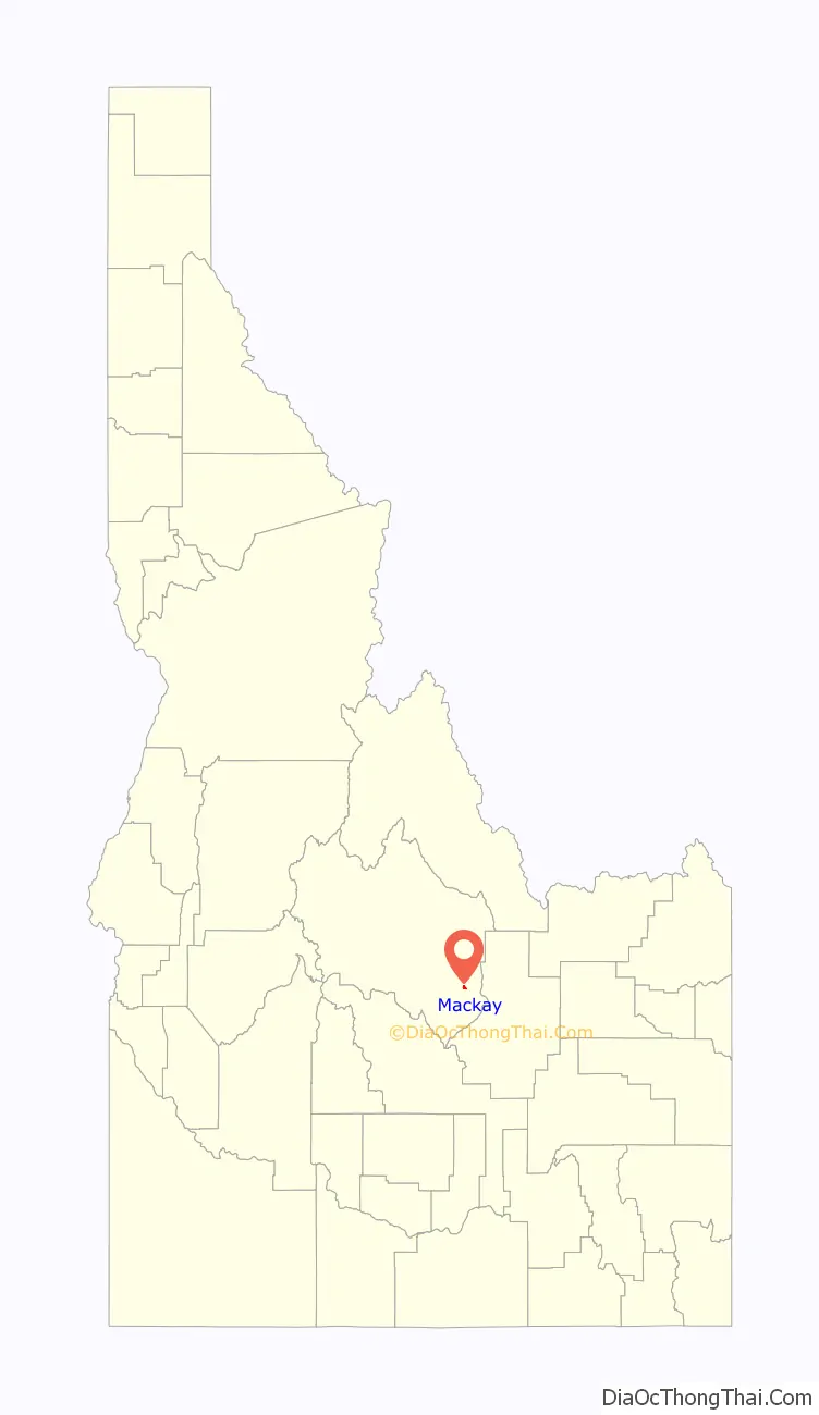
Mackay location map. Where is Mackay city?
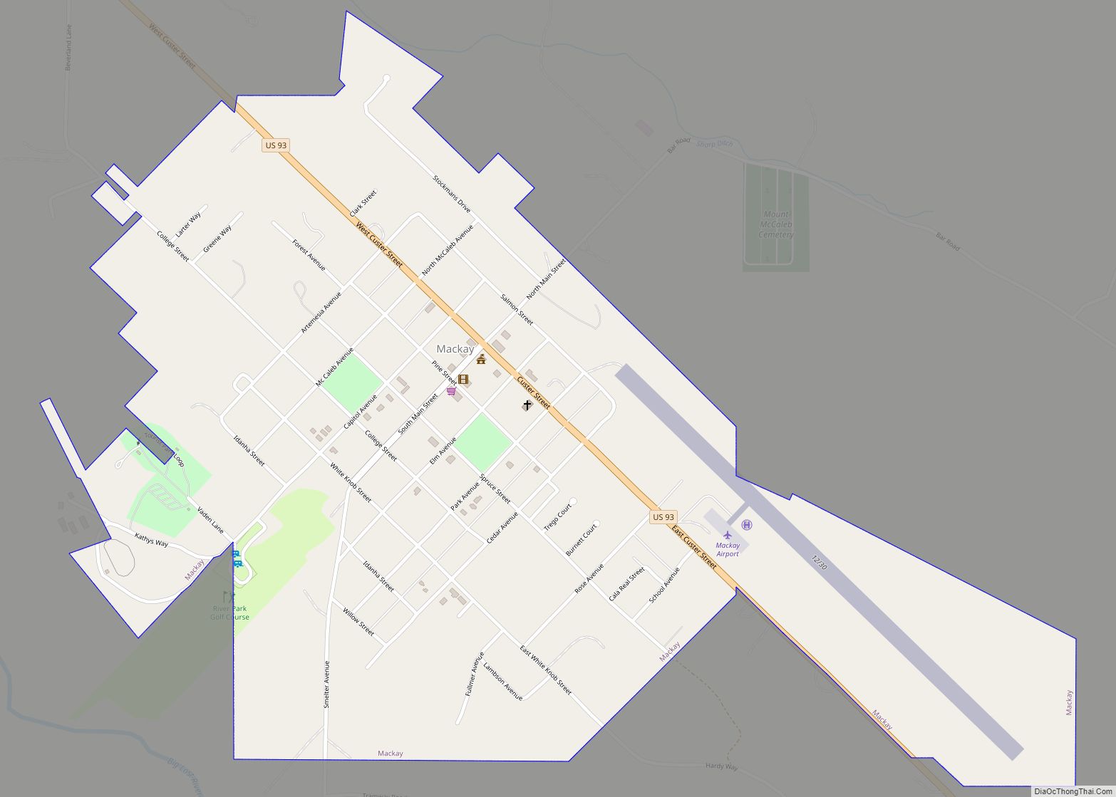
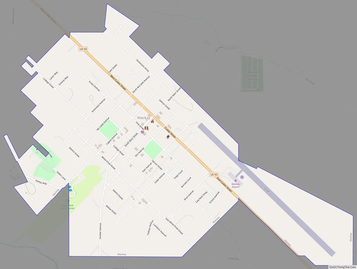
Mackay Road Map
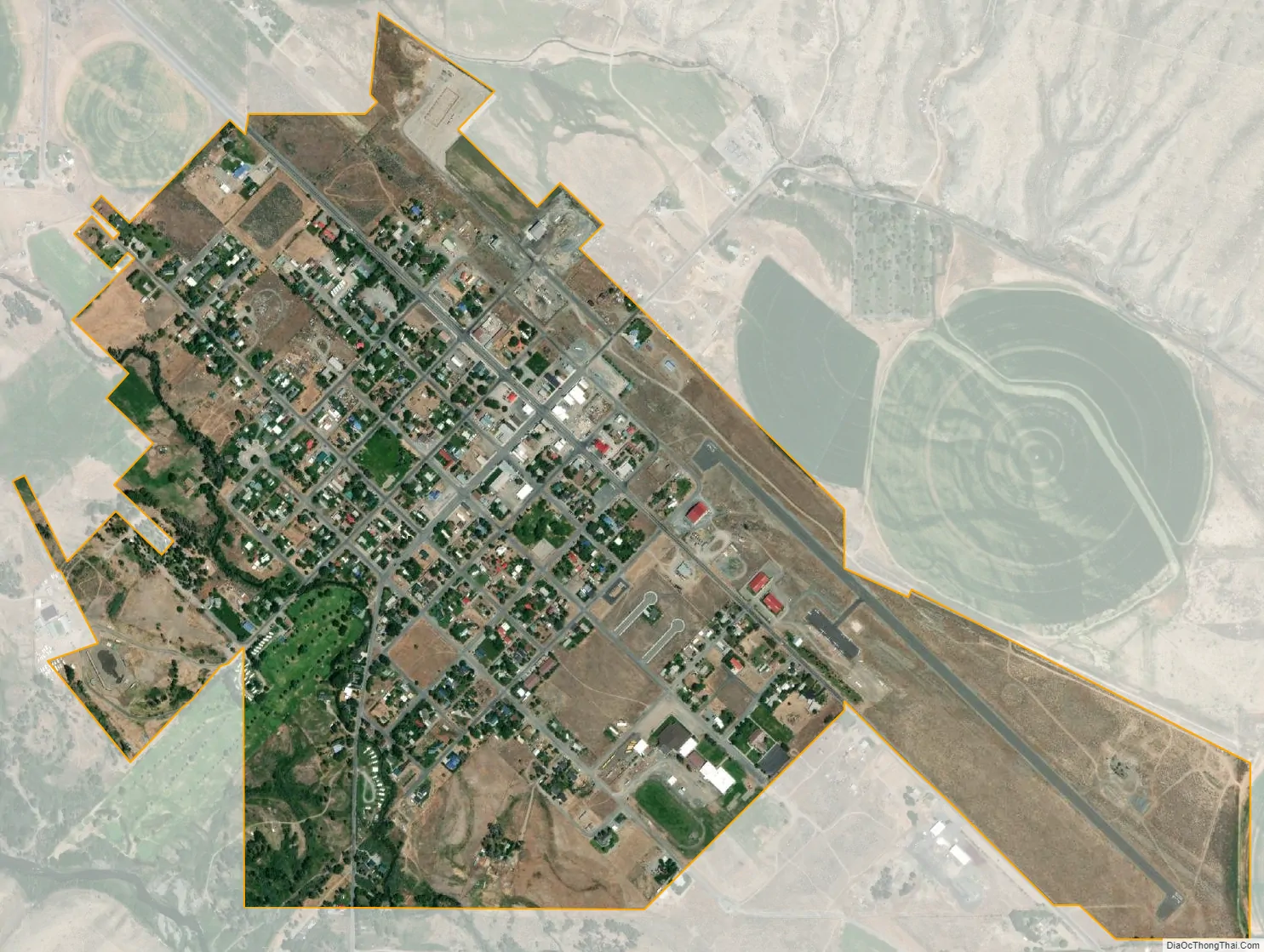
Mackay city Satellite Map
Geography
Mackay is located at 43°54′43″N 113°36′49″W / 43.91194°N 113.61361°W / 43.91194; -113.61361 (43.911880, -113.613669), at an elevation of 5,905 feet (1,800 m).
According to the United States Census Bureau, the city has a total area of 0.86 square miles (2.23 km), all of it land.
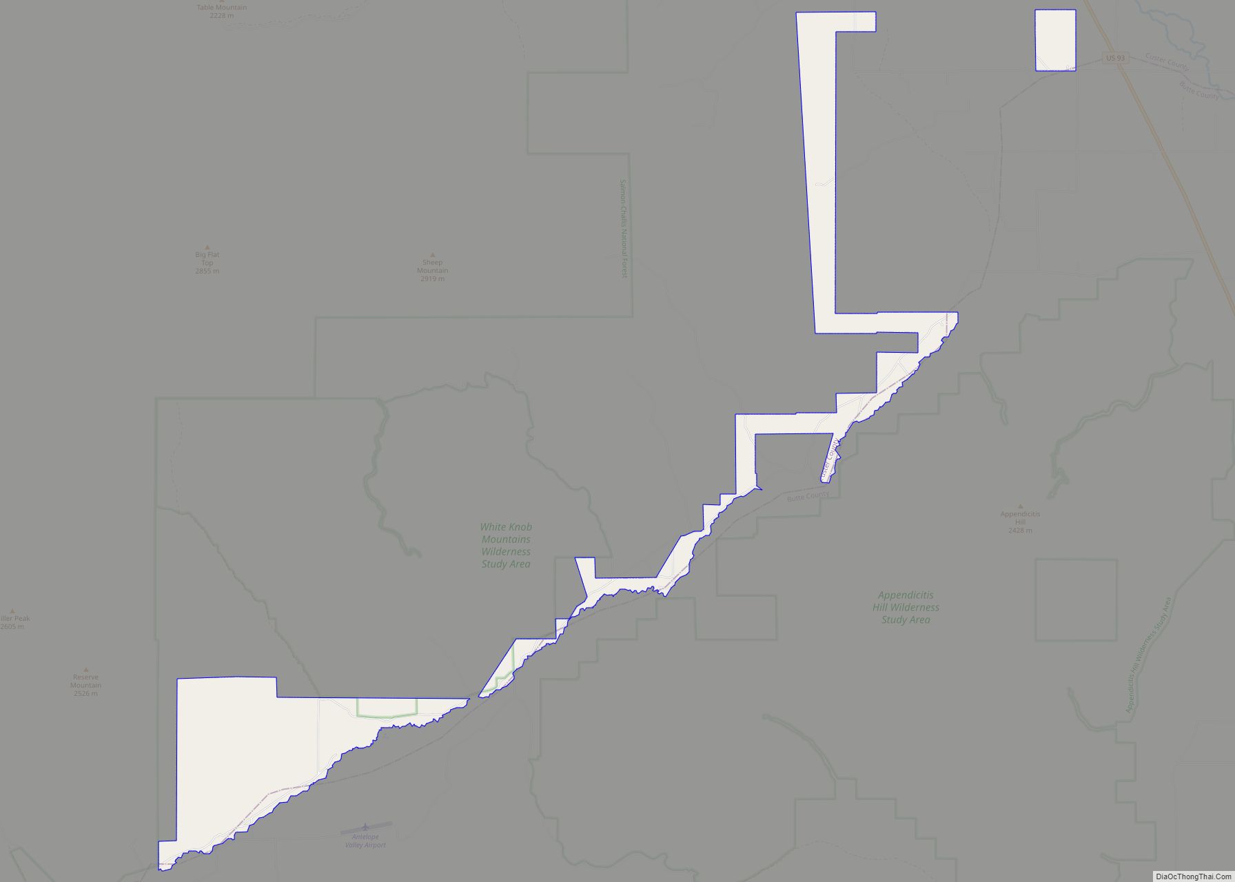
About 20 miles (32 km) north of Mackay is Idaho’s highest mountain: Borah Peak, with a summit elevation of 12,662 feet (3,859 m). Mt. McCaleb, 11,427 feet (3,483 m), overlooks the city.
See also
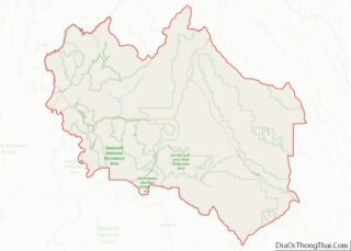
Map of Idaho State and its subdivision:- Ada
- Adams
- Bannock
- Bear Lake
- Benewah
- Bingham
- Blaine
- Boise
- Bonner
- Bonneville
- Boundary
- Butte
- Camas
- Canyon
- Caribou
- Cassia
- Clark
- Clearwater
- Custer
- Elmore
- Franklin
- Fremont
- Gem
- Gooding
- Idaho
- Jefferson
- Jerome
- Kootenai
- Latah
- Lemhi
- Lewis
- Lincoln
- Madison
- Minidoka
- Nez Perce
- Oneida
- Owyhee
- Payette
- Power
- Shoshone
- Teton
- Twin Falls
- Valley
- Washington
- Alabama
- Alaska
- Arizona
- Arkansas
- California
- Colorado
- Connecticut
- Delaware
- District of Columbia
- Florida
- Georgia
- Hawaii
- Idaho
- Illinois
- Indiana
- Iowa
- Kansas
- Kentucky
- Louisiana
- Maine
- Maryland
- Massachusetts
- Michigan
- Minnesota
- Mississippi
- Missouri
- Montana
- Nebraska
- Nevada
- New Hampshire
- New Jersey
- New Mexico
- New York
- North Carolina
- North Dakota
- Ohio
- Oklahoma
- Oregon
- Pennsylvania
- Rhode Island
- South Carolina
- South Dakota
- Tennessee
- Texas
- Utah
- Vermont
- Virginia
- Washington
- West Virginia
- Wisconsin
- Wyoming