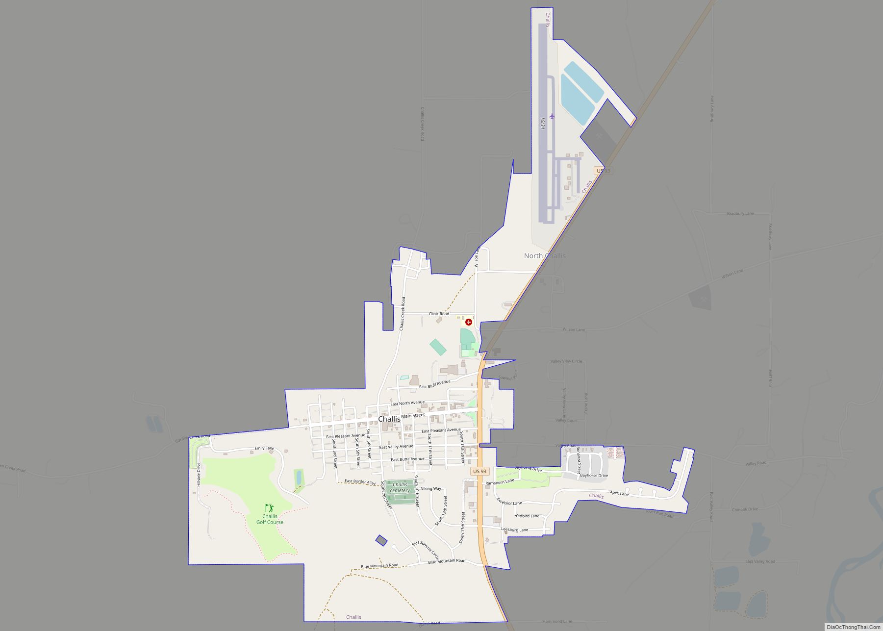
Challis is the largest city in Custer County, Idaho, United States. It is the county seat and its population was 1,081 at the 2010 census. The 2020 census shows 902 residents, a 16.6% drop.
| Name: | Challis city |
|---|---|
| LSAD Code: | 25 |
| LSAD Description: | city (suffix) |
| State: | Idaho |
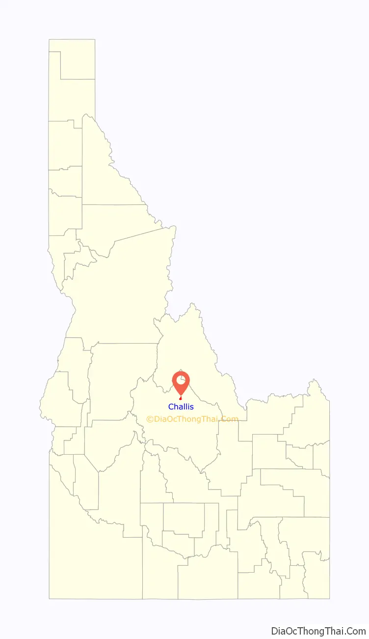
| County: | Custer County |
| Elevation: | 5,253 ft (1,601 m) |
| Total Area: | 1.94 sq mi (5.04 km²) |
| Land Area: | 1.92 sq mi (4.97 km²) |
| Water Area: | 0.03 sq mi (0.07 km²) |
| Total Population: | 1,081 |
| Population Density: | 568.53/sq mi (219.47/km²) |
| ZIP code: | 83226 |
| Area code: | 208 |
| FIPS code: | 1613780 |
| GNISfeature ID: | 0397543 |
Online Interactive Map
Click on ![]() to view map in "full screen" mode.
to view map in "full screen" mode.
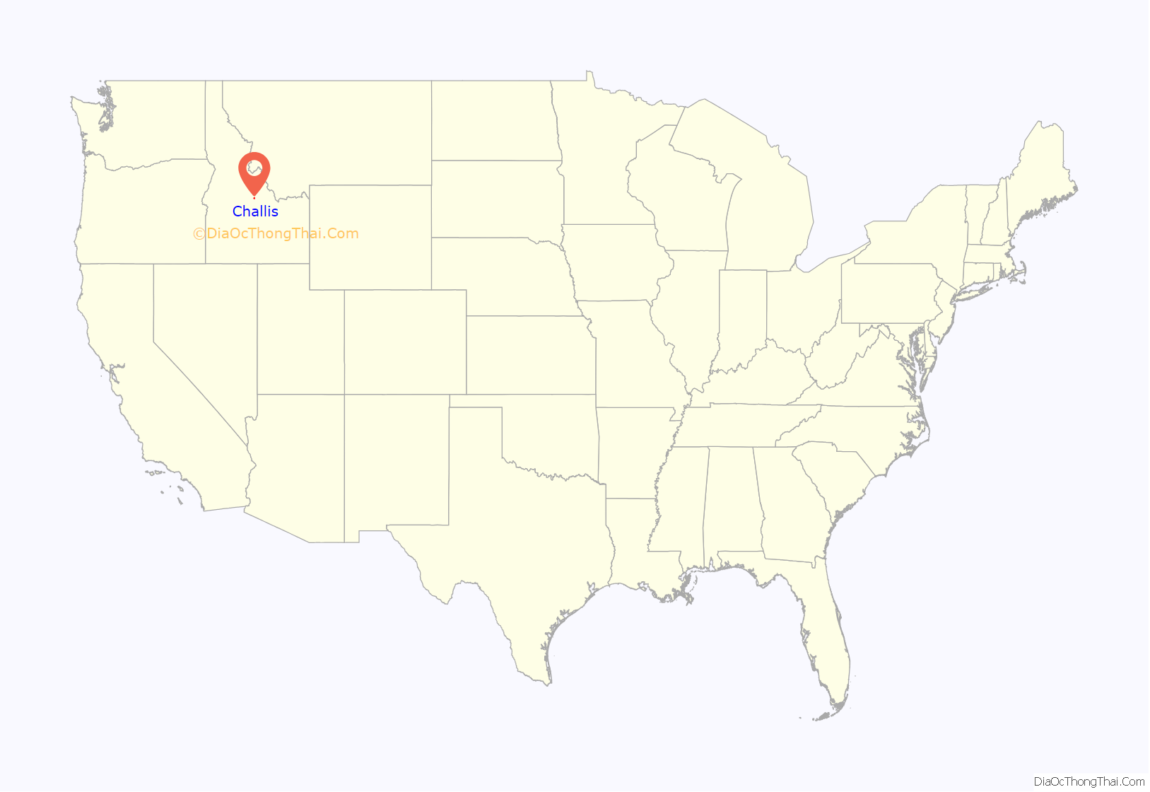
Challis location map. Where is Challis city?
History
Challis was founded in 1878 and named for A.P. Challis, who was a surveyor when the townsite was laid out. Challis post office was established in 1878.
Twin Peaks Sports, the I.O.O.F. Hall, and a number of other buildings in Challis are individually listed on the National Register of Historic Places, most as a result of an Idaho State Historical Society study of historical resources in the town.
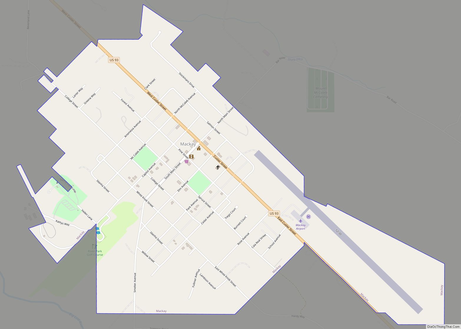
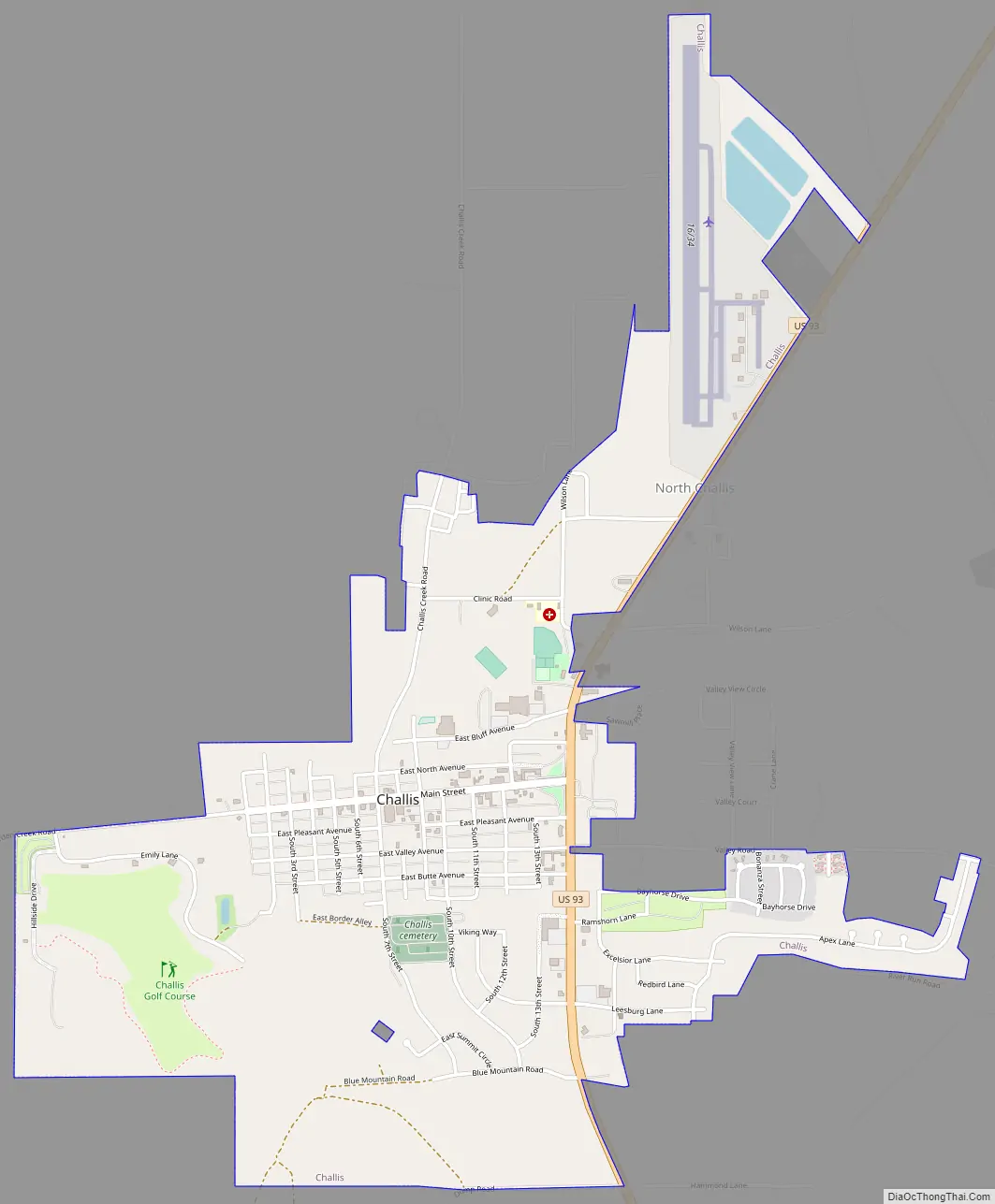
Challis Road Map
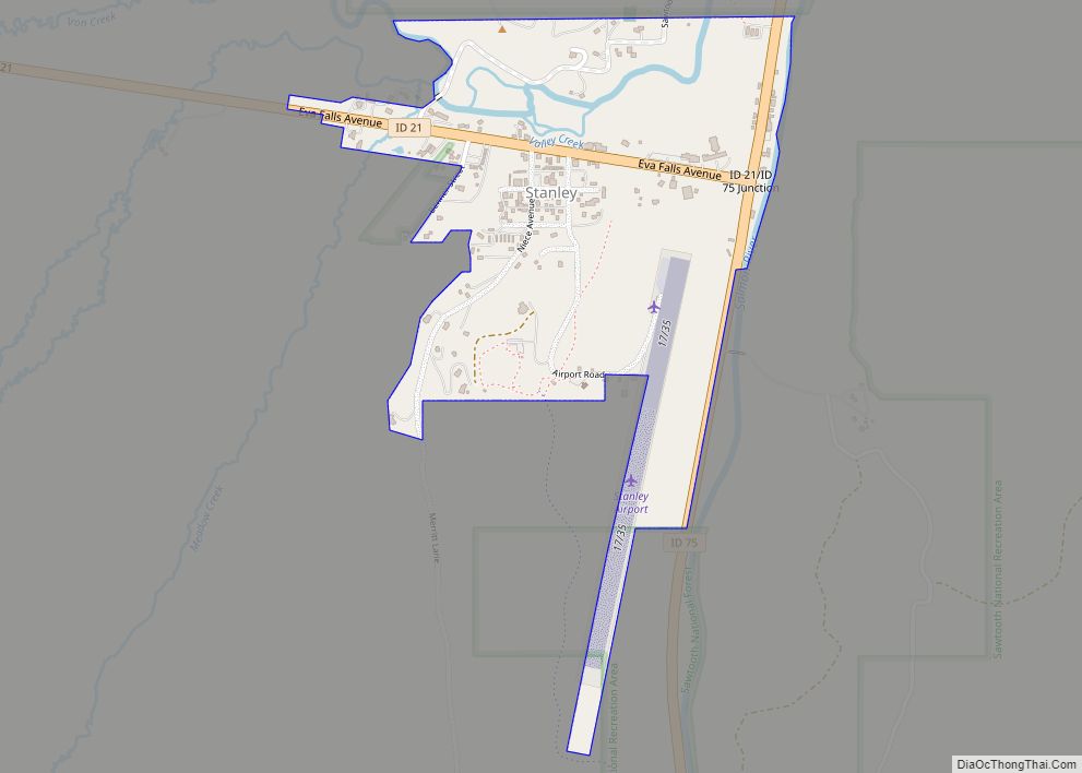
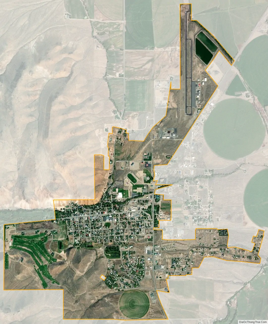
Challis city Satellite Map
Geography
Challis is located at 44°30′15″N 114°13′42″W / 44.50417°N 114.22833°W / 44.50417; -114.22833 (44.504260, -114.228279), at an elevation of 5,253 feet (1,601 m) above sea level.
According to the United States Census Bureau, the city has a total area of 1.88 square miles (4.87 km), of which, 1.85 square miles (4.79 km) is land and 0.03 square miles (0.08 km) is water.
Challis experiences a semi-arid climate (Köppen climate classification BSk) with cold winters, hot summers, and low precipitation throughout the year.
See also
Map of Idaho State and its subdivision:- Ada
- Adams
- Bannock
- Bear Lake
- Benewah
- Bingham
- Blaine
- Boise
- Bonner
- Bonneville
- Boundary
- Butte
- Camas
- Canyon
- Caribou
- Cassia
- Clark
- Clearwater
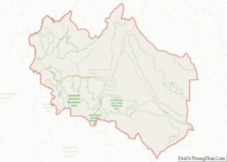
- Custer
- Elmore
- Franklin
- Fremont
- Gem
- Gooding
- Idaho
- Jefferson
- Jerome
- Kootenai
- Latah
- Lemhi
- Lewis
- Lincoln
- Madison
- Minidoka
- Nez Perce
- Oneida
- Owyhee
- Payette
- Power
- Shoshone
- Teton
- Twin Falls
- Valley
- Washington
- Alabama
- Alaska
- Arizona
- Arkansas
- California
- Colorado
- Connecticut
- Delaware
- District of Columbia
- Florida
- Georgia
- Hawaii
- Idaho
- Illinois
- Indiana
- Iowa
- Kansas
- Kentucky
- Louisiana
- Maine
- Maryland
- Massachusetts
- Michigan
- Minnesota
- Mississippi
- Missouri
- Montana
- Nebraska
- Nevada
- New Hampshire
- New Jersey
- New Mexico
- New York
- North Carolina
- North Dakota
- Ohio
- Oklahoma
- Oregon
- Pennsylvania
- Rhode Island
- South Carolina
- South Dakota
- Tennessee
- Texas
- Utah
- Vermont
- Virginia
- Washington
- West Virginia
- Wisconsin
- Wyoming