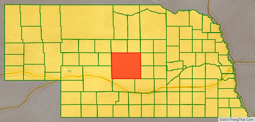
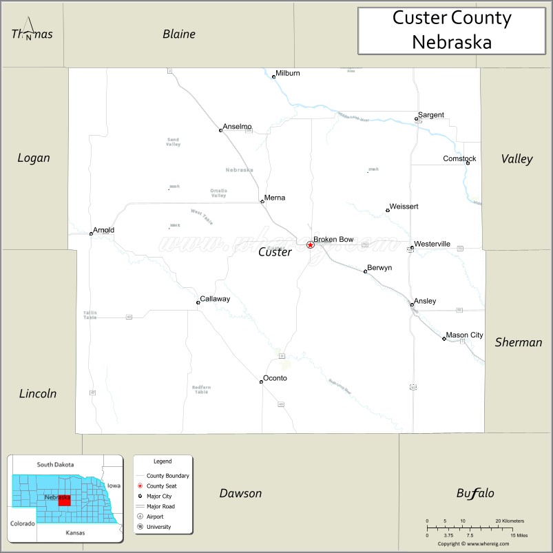
| Name: | Custer County |
|---|---|
| FIPS code: | 31-041 |
| State: | Nebraska |
| Founded: | 17 February 1877 |
| Named for: | George Armstrong Custer |
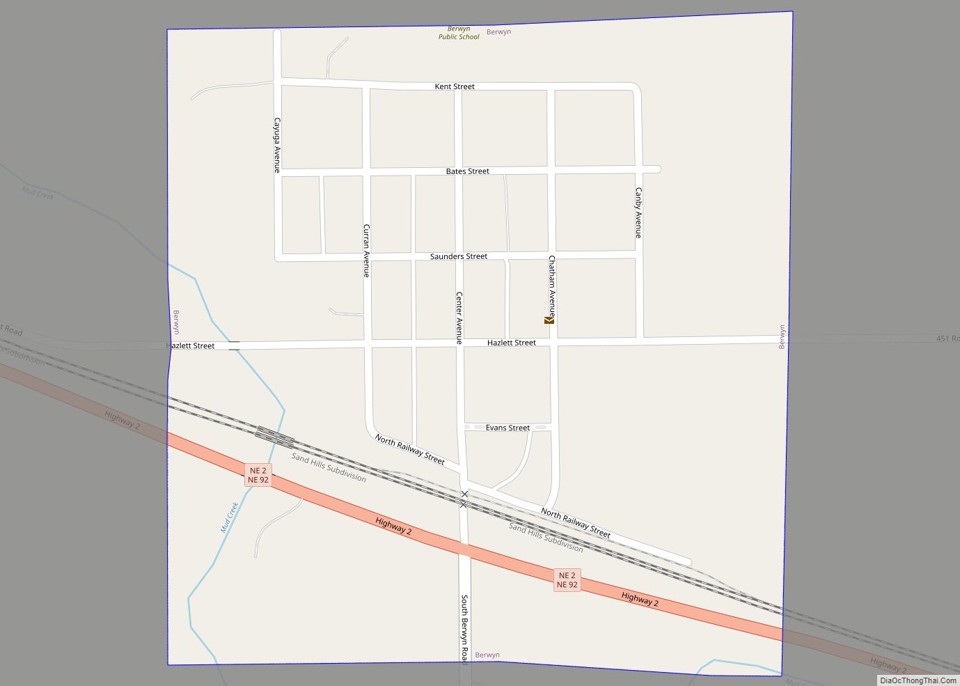
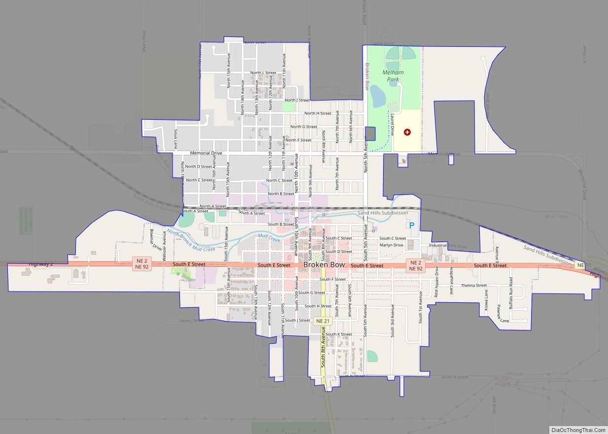
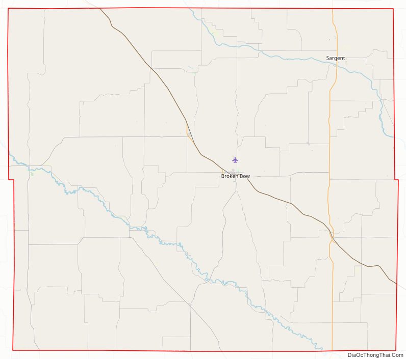
| Seat: | Broken Bow |
| Largest city: | Broken Bow |
| Total Area: | 2,576 sq mi (6,670 km²) |
| Land Area: | 2,576 sq mi (6,670 km²) |
| Total Population: | 10,460 |
| Population Density: | 4.06/sq mi (1.57/km²) |
| Time zone: | UTC−6 (Central) |
| Summer Time Zone (DST): | UTC−5 (CDT) |
| Website: | www.co.custer.ne.us |
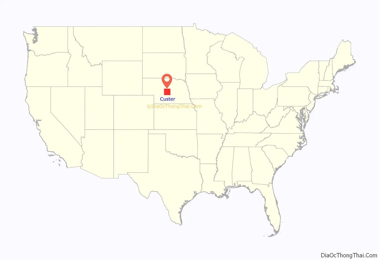
Custer County location map. Where is Custer County?
Custer County Road Map
Geography
According to the US Census Bureau, the county has a total area of 2,576 square miles (6,670 km), of which 2,576 square miles (6,670 km) is land and 0.4 square miles (1.0 km) (0.01%) is water. In area, it is the second largest county in Nebraska, behind only Cherry County.
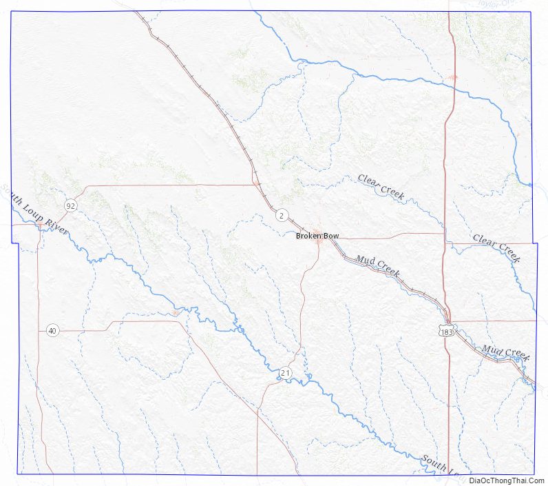
Major highways
- U.S. Highway 183
- Nebraska Highway 2
- Nebraska Highway 21
- Nebraska Highway 40
- Nebraska Highway 47
- Nebraska Highway 70
- Nebraska Highway 92
Adjacent counties
- Valley County – northeast
- Sherman County – southeast
- Buffalo County – southeast
- Dawson County – south
- Lincoln County – southwest
- Logan County – west
- Blaine County – northwest
- Loup County – northeast
Custer County Topographic Map
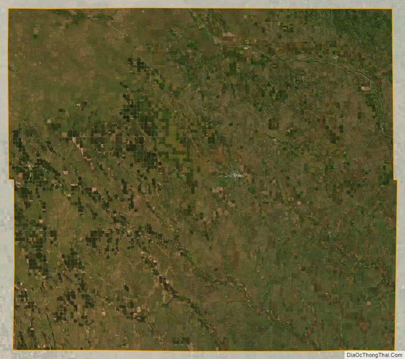
Custer County Satellite Map
Custer County Outline Map