Dade County is a county located in the southwest part of the U.S. state of Missouri. As of the 2020 census, the population was 7,569. Its county seat is Greenfield. The county was organized in 1841 and named after Major Francis L. Dade of Virginia, who was killed in the Second Seminole War in 1835.
| Name: | Dade County |
|---|---|
| FIPS code: | 29-057 |
| State: | Missouri |
| Founded: | January 29, 1841 |
| Named for: | Francis L. Dade |
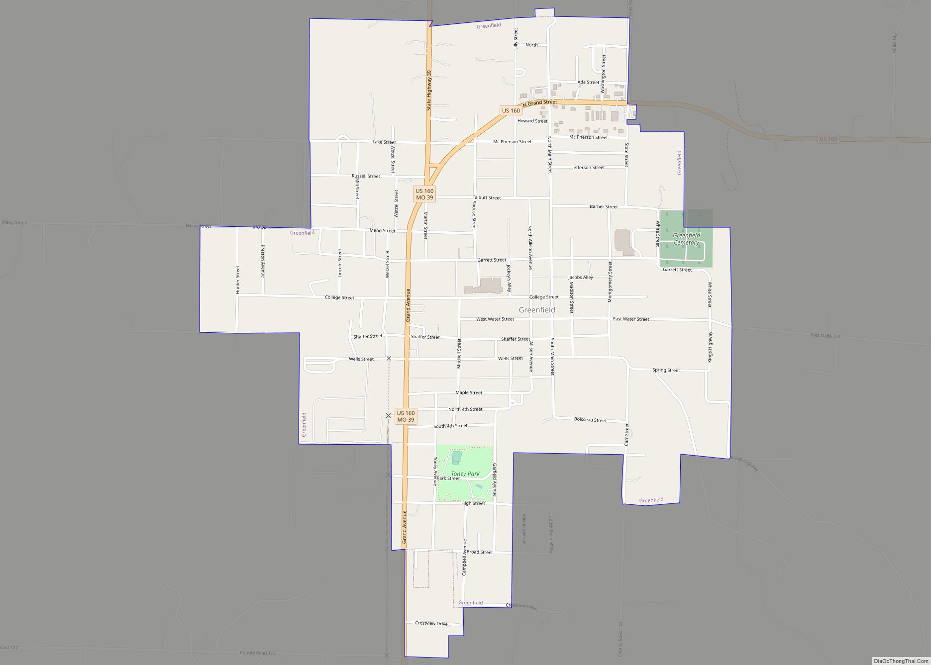
| Seat: | Greenfield |
| Largest city: | Greenfield |
| Total Area: | 506 sq mi (1,310 km²) |
| Land Area: | 490 sq mi (1,300 km²) |
| Total Population: | 7,569 |
| Population Density: | 15/sq mi (5.8/km²) |
| Time zone: | UTC−6 (Central) |
| Summer Time Zone (DST): | UTC−5 (CDT) |
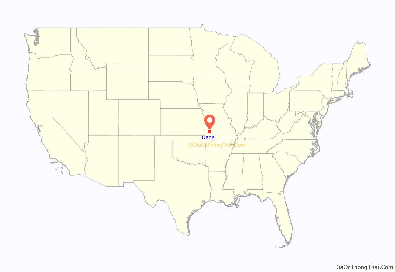
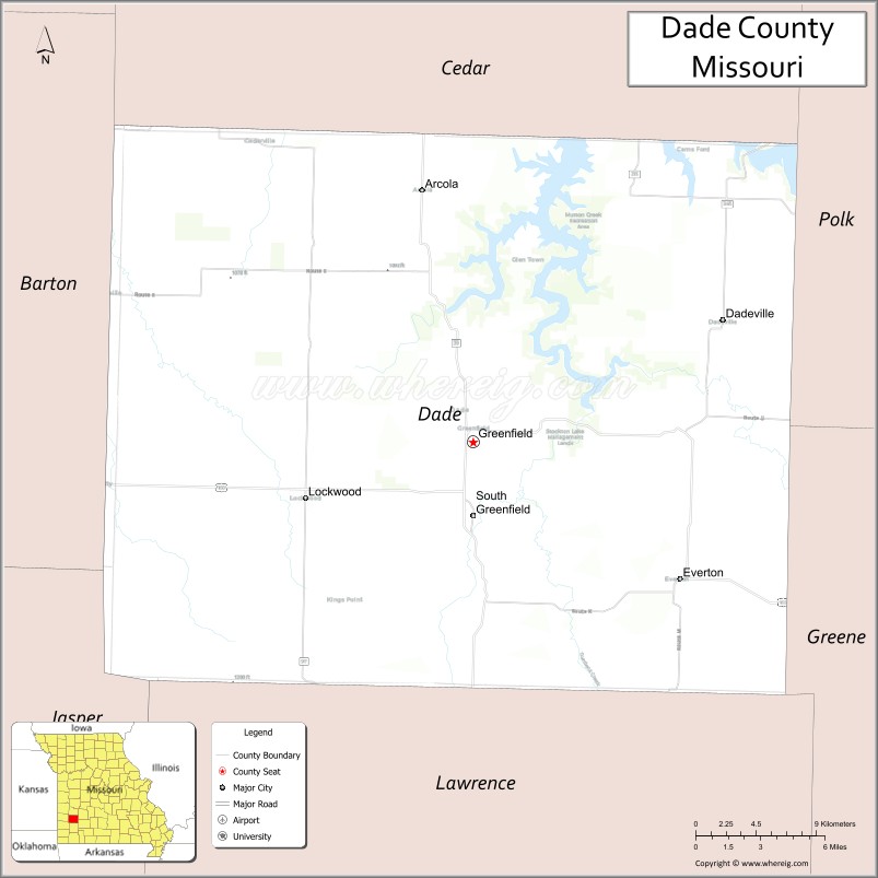
Dade County location map. Where is Dade County?
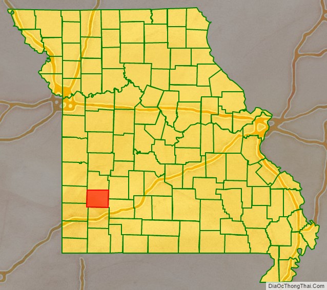
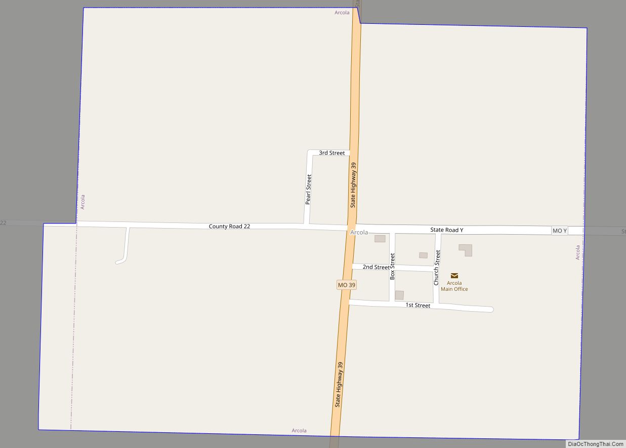
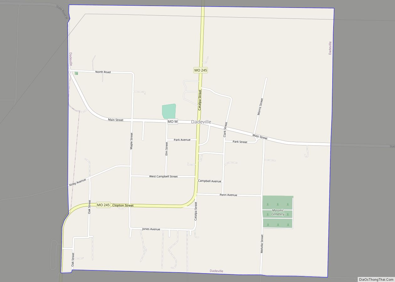
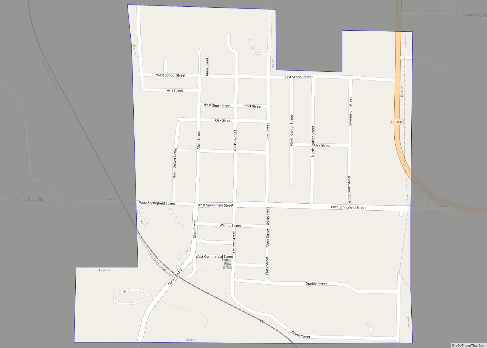
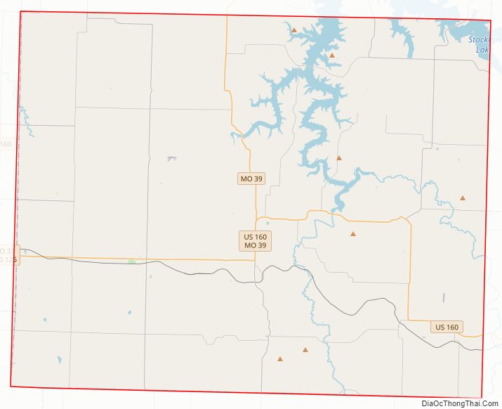
Dade County Road Map
Geography
According to the U.S. Census Bureau, the county has a total area of 506 square miles (1,310 km), of which 490 square miles (1,300 km) is land and 16 square miles (41 km) (3.2%) is water.
Adjacent counties
- Cedar County (north)
- Polk County (northeast)
- Greene County (southeast)
- Lawrence County (south)
- Jasper County (southwest)
- Barton County (west)
Major highways
- U.S. Route 160
- Route 39
- Route 97
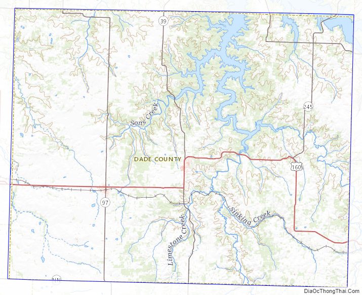
Dade County Topographic Map
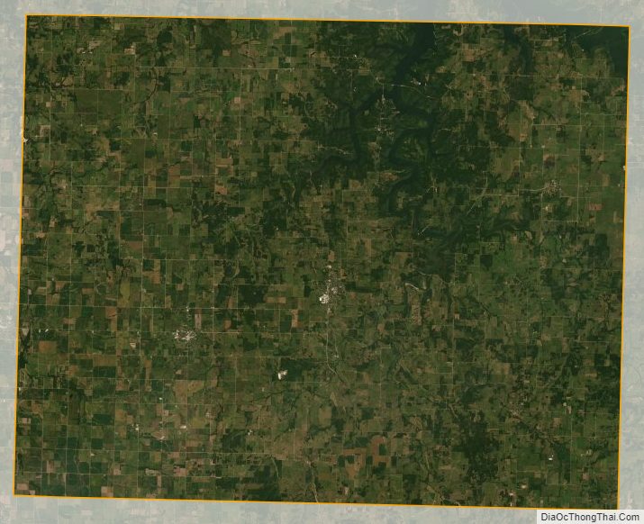
Dade County Satellite Map
Dade County Outline Map