Davis County is a county located in the U.S. state of Iowa. As of the 2020 census, the population was 9,110. The county seat is Bloomfield.
Davis County is included in the Ottumwa, IA Micropolitan Statistical Area.
| Name: | Davis County |
|---|---|
| FIPS code: | 19-051 |
| State: | Iowa |
| Founded: | 1843 |
| Named for: | Garrett Davis |
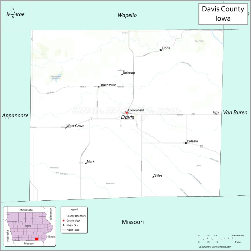
| Seat: | Bloomfield |
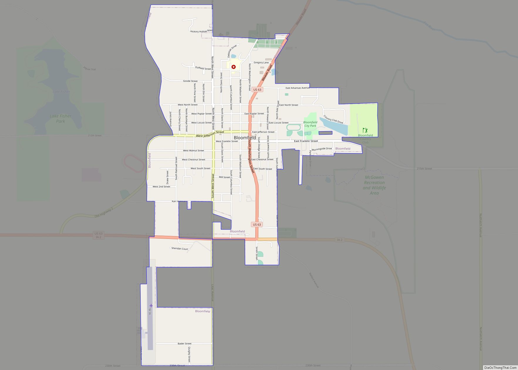
| Largest city: | Bloomfield |
| Total Area: | 505 sq mi (1,310 km²) |
| Land Area: | 502 sq mi (1,300 km²) |
| Total Population: | 9,110 |
| Population Density: | 18/sq mi (7.0/km²) |
| Time zone: | UTC−6 (Central) |
| Summer Time Zone (DST): | UTC−5 (CDT) |
| Website: | www.daviscountyiowa.org |
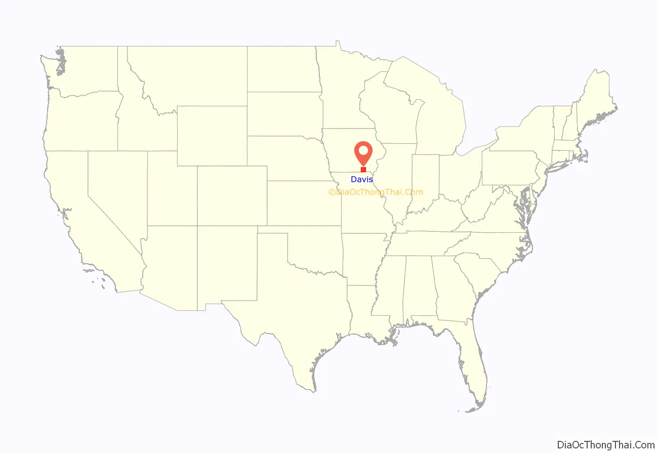
Davis County location map. Where is Davis County?
History
Davis County was named in honor of Garrett Davis, a Congressman from Kentucky from March 4, 1839, until March 3, 1847, and later a US Senator from Kentucky.
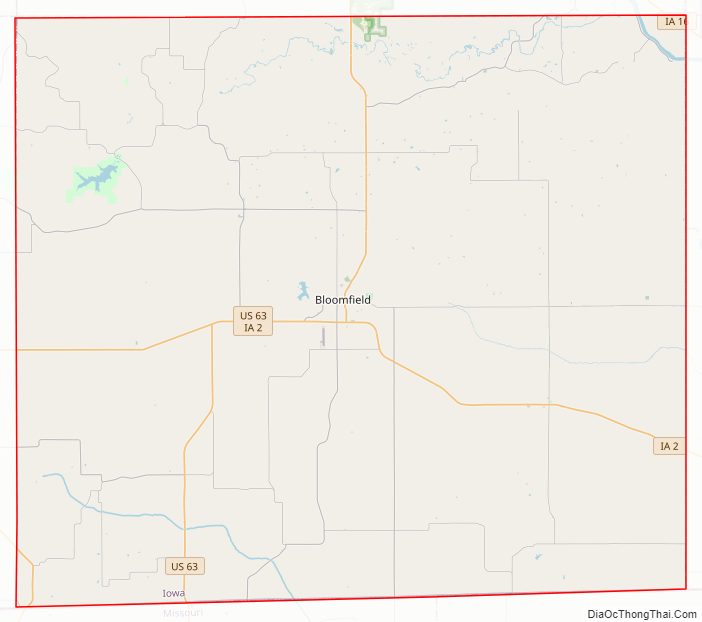
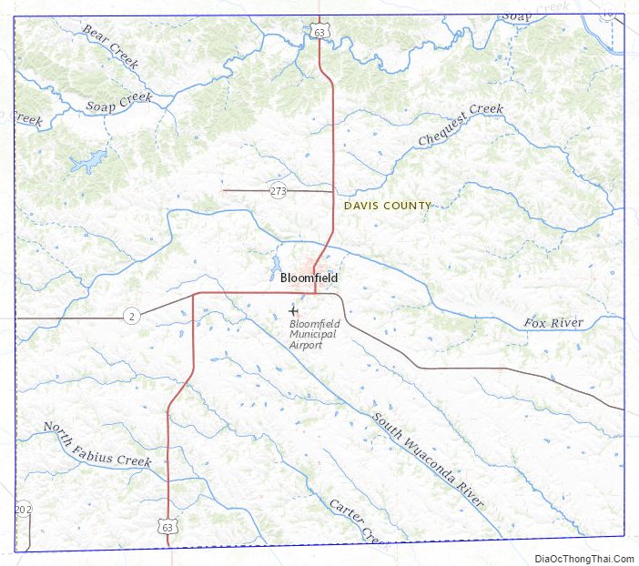
Davis County Road Map
Geography
According to the U.S. Census Bureau, the county has a total area of 505 square miles (1,310 km), of which 502 square miles (1,300 km) is land and 2.7 square miles (7.0 km) (0.5%) is water.
Major highways
- U.S. Highway 63
- Iowa Highway 2
- Iowa Highway 202
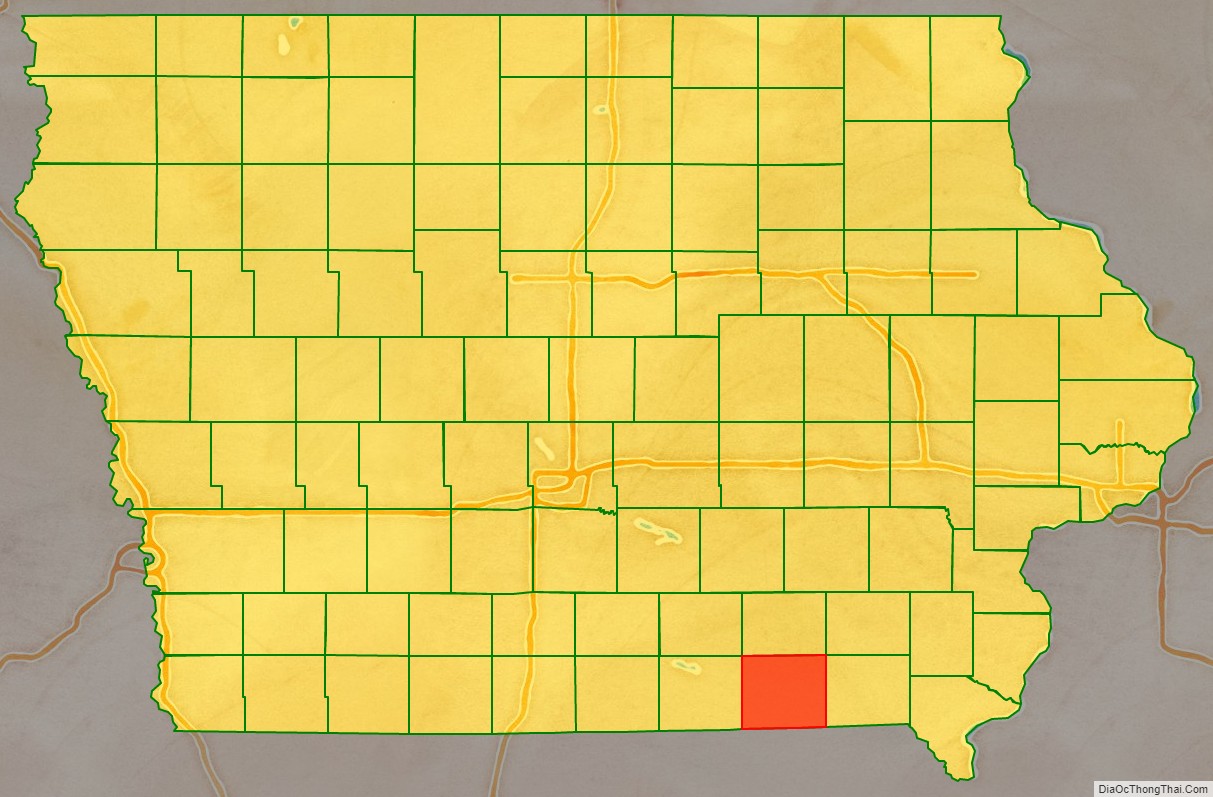
Adjacent counties
- Wapello County (north)
- Monroe County (northwest)
- Van Buren County (east)
- Jefferson County (northeast)
- Scotland County, Missouri (southeast)
- Schuyler County, Missouri (southwest)
- Appanoose County (west)
Davis County Topographic Map
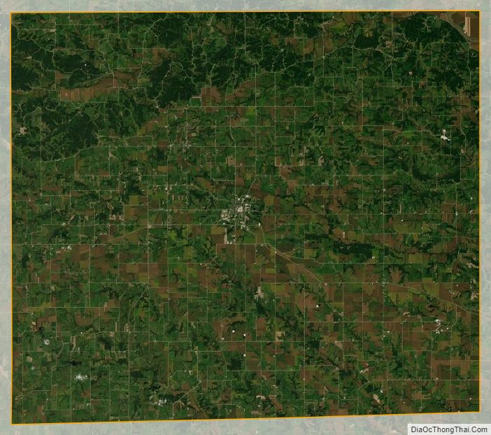
Davis County Satellite Map
Davis County Outline Map