Ottumwa (/əˈtʌmwə/ ə-TUM-wə) is a city in and the county seat of Wapello County, Iowa, United States. The population was 25,529 at the time of the 2020 U.S. Census. Located in the state’s southeastern section, the city is split into northern and southern halves by the Des Moines River. Ottumwa serves as a major economic, commercial, and cultural hub for the Southeastern Iowa region.
| Name: | Ottumwa city |
|---|---|
| LSAD Code: | 25 |
| LSAD Description: | city (suffix) |
| State: | Iowa |
| County: | Wapello County |
| Elevation: | 673 ft (205 m) |
| Total Area: | 16.73 sq mi (43.32 km²) |
| Land Area: | 16.06 sq mi (41.60 km²) |
| Water Area: | 0.67 sq mi (1.73 km²) |
| Total Population: | 25,529 |
| Population Density: | 1,589.50/sq mi (613.71/km²) |
| ZIP code: | 52501 |
| Area code: | 641 |
| FIPS code: | 1960465 |
| GNISfeature ID: | 0459952 |
| Website: | ottumwa.us |
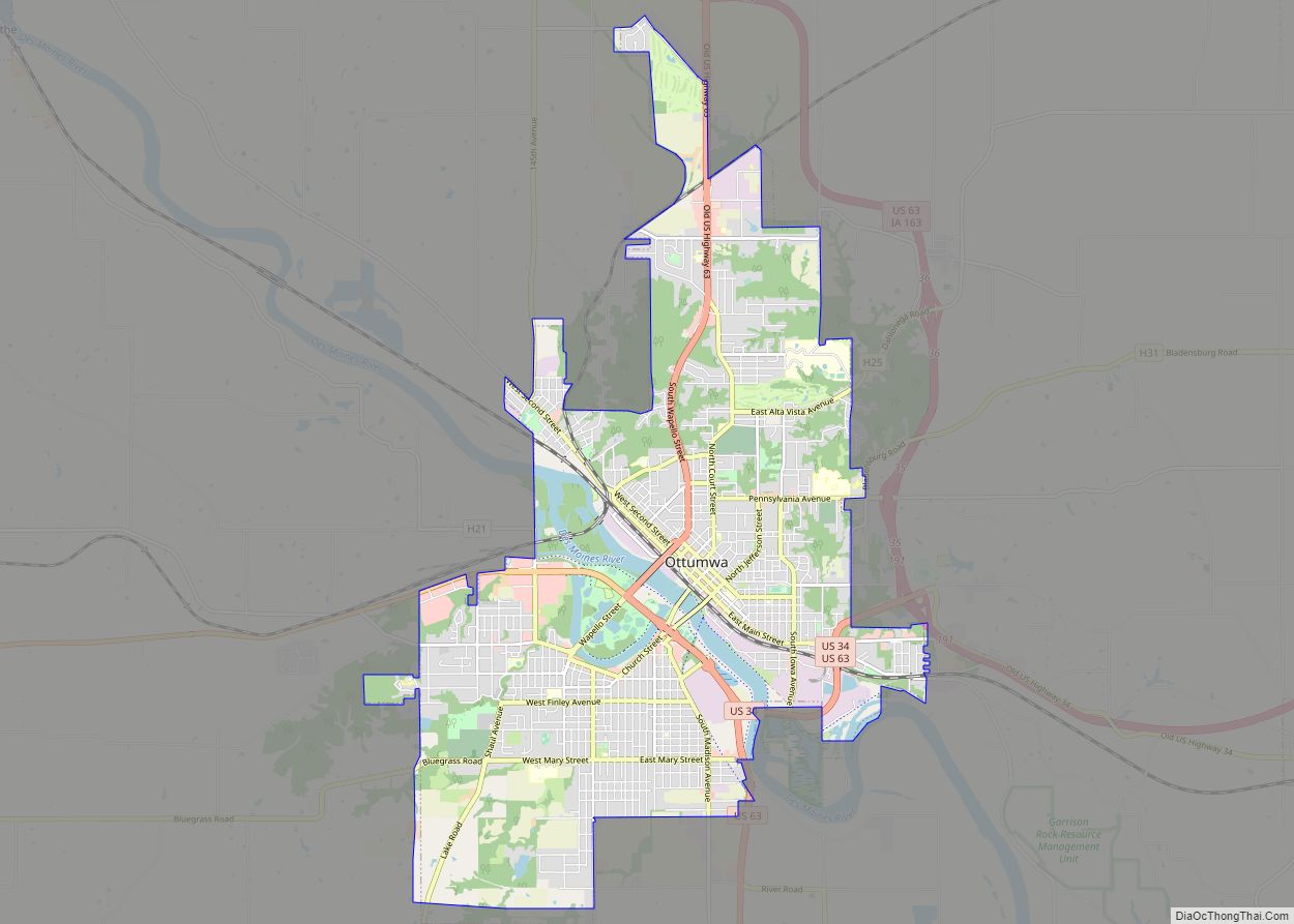
Online Interactive Map
Click on ![]() to view map in "full screen" mode.
to view map in "full screen" mode.
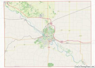
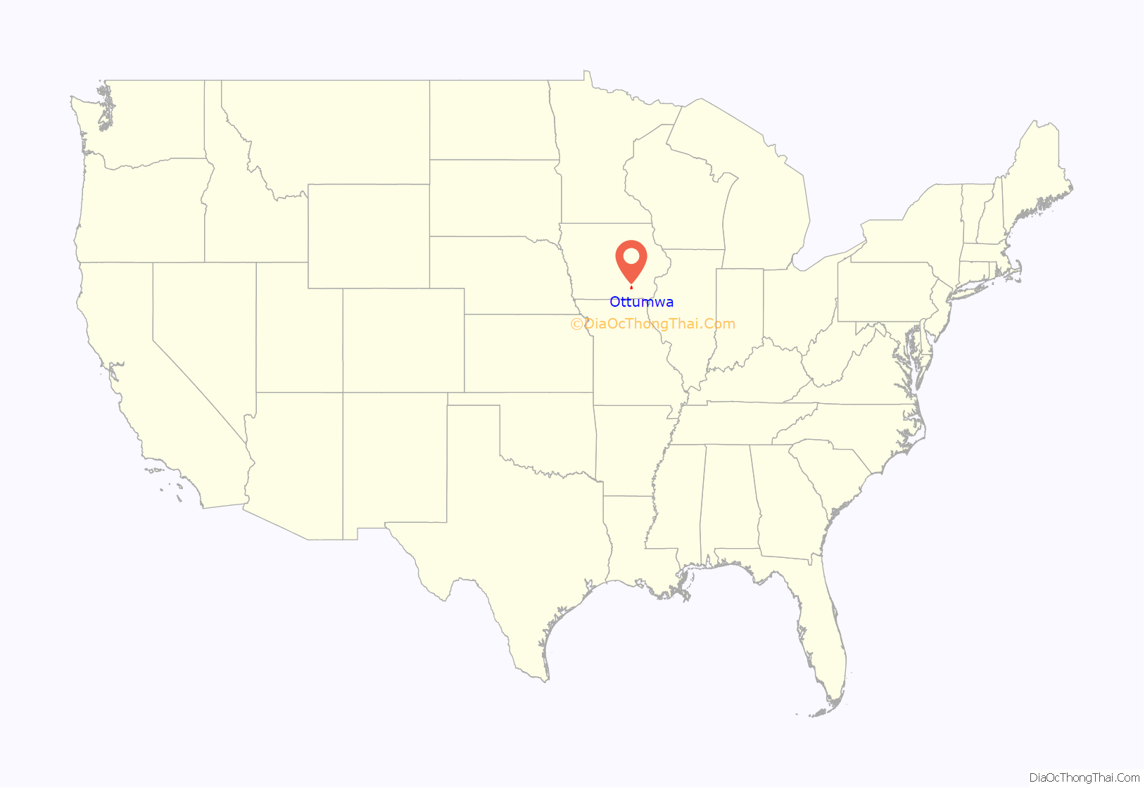
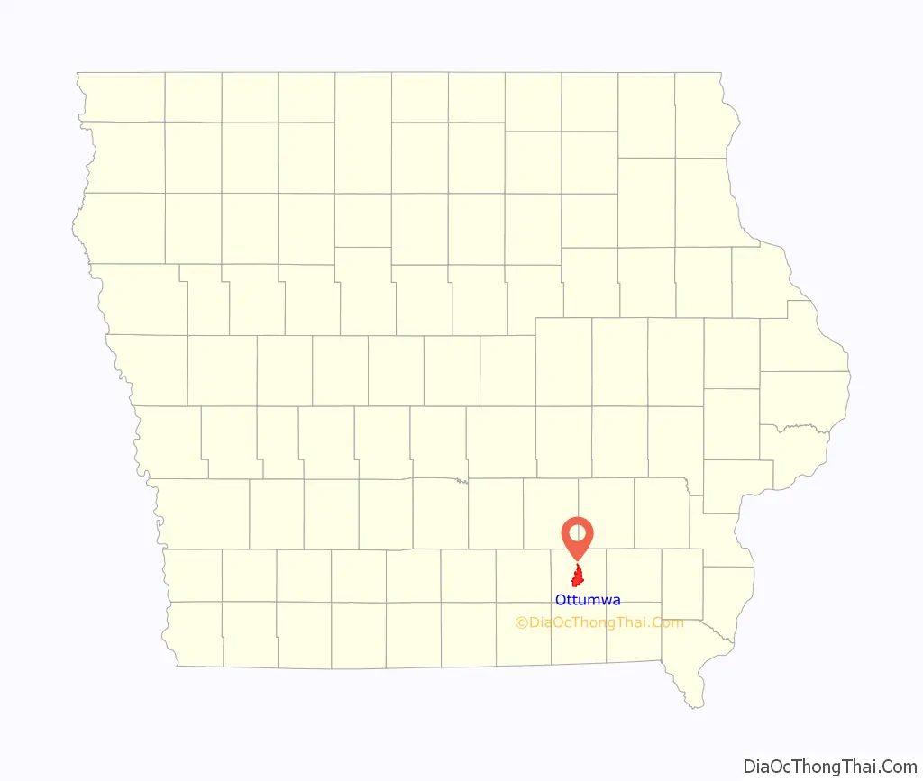
Ottumwa location map. Where is Ottumwa city?
History
In May 1843, several investors formed the Appanoose Rapids Company and staked claim to 467 acres of land in the present site of Ottumwa. Their colonization involved claiming land supporting three indigenous settlements. The first official cabin was built in May 1843 after the area was opened to settlement (an earlier cabin built in defiance of this date was destroyed by Army troops at that time). The original platt was titled Louis Ville. In 1844 the city was named as the county seat.
The town was severely damaged during the flood of 1851.
In 1857, coal was being mined from the McCready bank, a site along Bear Creek four miles west of Ottumwa. In 1868, Brown and Godfrey opened a drift mine four miles northwest of town. By 1872, Brown and Godfrey employed 300 men and had an annual production of 77,000 tons. In 1880, the Phillips Coal and Mining Company opened a mine two miles northwest of town. In subsequent years, they opened 5 more shafts in the Phillips and Rutledge neighborhoods, just north of Ottumwa. The Phillips number 5 shaft was 140 feet (43 meters) deep, with a 375-HP steam hoist. By 1889, the state mine inspector’s report listed 15 mine shafts in Ottumwa. In 1914, the Phillips Fuel Company produced over 100,000 tons of coal, ranking among the top 24 coal producers in the state. Coal mining was so important to the local economy that, from 1890 to 1892, the Coal Palace was erected in Ottumwa as an exhibition center.
John Morrell & Company and their meat packing comples played a significant role in the development of Ottumwa from 1877 to 1973.
When the Burlington and Missouri River Railroad arrived in Ottumwa in September 1859, it ran parallel to the river channel. The availability of rail transportation encouraged both commercial and industrial expansion along the northwest to southeast axis. Access to the south bank of the river at first was by ferry from the foot of Green Street. By 1875 this ferry had been replaced by a bridge, and a number of additions had been made to the city during the first thirty years, all located on the north side of the Des Moines River. As development (almost exclusively residential) climbed the bluffs, the streets on top of the hills were laid out to compass points, rather than parallel to the river. Although there was some development on the south side of the river, South Ottumwa was not brought into the city limits until the 1880s.
Presidential visits
On five occasions a sitting U.S. president has visited the Bridge City:
- Benjamin Harrison was the first, in 1890, touring the Coal Palace and then speaking to a crowd of over 40,000 people.
- In 1903 President Theodore Roosevelt made a brief stop while on a train trip around America.
- President Harry Truman spent part of his 66th birthday, May 8, 1950, in Ottumwa while on a 16-state train trip in support of his Fair Deal program.
- In July 1971, President Richard Nixon arrived in Air Force One at the Ottumwa Industrial Airport on his way to dedicate the nearby Rathbun Lake dam and reservoir. It was a homecoming for Nixon of sorts, as he had been stationed at the Ottumwa airport while serving in the U.S. Navy during World War II.
- On April 27, 2010, President Barack Obama spoke to a large crowd at the Hellyer Student Center on the campus of Indian Hills Community College.
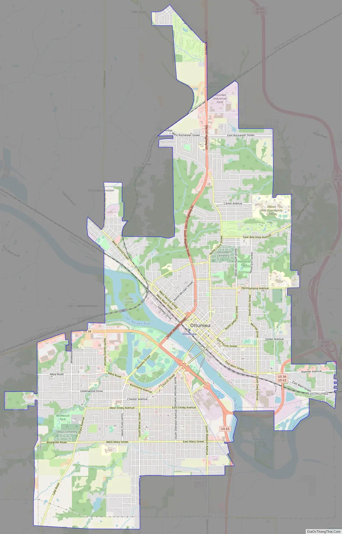
Ottumwa Road Map
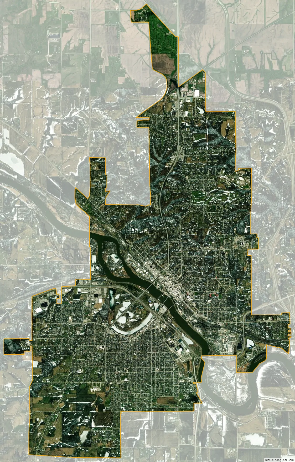
Ottumwa city Satellite Map
Geography
Ottumwa lies at N41.012917, W92.414817.
According to the United States Census Bureau, the city has a total area of 16.53 square miles (42.81 km), of which 15.86 square miles (41.08 km) is land and 0.67 square miles (1.74 km) is water.
Northeastern Wapello County contains large deposits of coal, and there are also large deposits of clay in the region, which played an important role in the industrial development of Ottumwa.
Ottumwa is the center of the Ottumwa Micropolitan Statistical Area which includes all of Wapello County.
Climate
According to the Köppen Climate Classification system, Ottumwa has a hot-summer humid continental climate, abbreviated “Dfa” on climate maps.
See also
Map of Iowa State and its subdivision:- Adair
- Adams
- Allamakee
- Appanoose
- Audubon
- Benton
- Black Hawk
- Boone
- Bremer
- Buchanan
- Buena Vista
- Butler
- Calhoun
- Carroll
- Cass
- Cedar
- Cerro Gordo
- Cherokee
- Chickasaw
- Clarke
- Clay
- Clayton
- Clinton
- Crawford
- Dallas
- Davis
- Decatur
- Delaware
- Des Moines
- Dickinson
- Dubuque
- Emmet
- Fayette
- Floyd
- Franklin
- Fremont
- Greene
- Grundy
- Guthrie
- Hamilton
- Hancock
- Hardin
- Harrison
- Henry
- Howard
- Humboldt
- Ida
- Iowa
- Jackson
- Jasper
- Jefferson
- Johnson
- Jones
- Keokuk
- Kossuth
- Lee
- Linn
- Louisa
- Lucas
- Lyon
- Madison
- Mahaska
- Marion
- Marshall
- Mills
- Mitchell
- Monona
- Monroe
- Montgomery
- Muscatine
- O'Brien
- Osceola
- Page
- Palo Alto
- Plymouth
- Pocahontas
- Polk
- Pottawattamie
- Poweshiek
- Ringgold
- Sac
- Scott
- Shelby
- Sioux
- Story
- Tama
- Taylor
- Union
- Van Buren
- Wapello
- Warren
- Washington
- Wayne
- Webster
- Winnebago
- Winneshiek
- Woodbury
- Worth
- Wright
- Alabama
- Alaska
- Arizona
- Arkansas
- California
- Colorado
- Connecticut
- Delaware
- District of Columbia
- Florida
- Georgia
- Hawaii
- Idaho
- Illinois
- Indiana
- Iowa
- Kansas
- Kentucky
- Louisiana
- Maine
- Maryland
- Massachusetts
- Michigan
- Minnesota
- Mississippi
- Missouri
- Montana
- Nebraska
- Nevada
- New Hampshire
- New Jersey
- New Mexico
- New York
- North Carolina
- North Dakota
- Ohio
- Oklahoma
- Oregon
- Pennsylvania
- Rhode Island
- South Carolina
- South Dakota
- Tennessee
- Texas
- Utah
- Vermont
- Virginia
- Washington
- West Virginia
- Wisconsin
- Wyoming