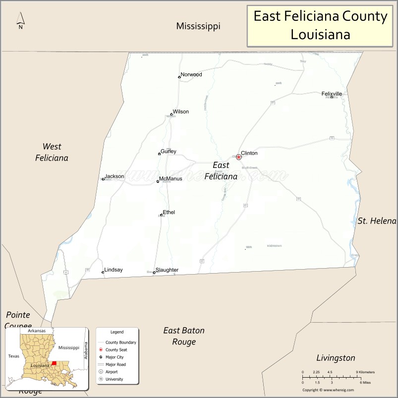
East Feliciana Parish (French: Paroisse de Feliciana Est, Spanish: Parroquia de Feliciana Oriental) is a parish located in the U.S. state of Louisiana. At the 2020 census, the population was 19,531. The parish seat is Clinton.
Established when Feliciana Parish was divided in 1824, both East and West Feliciana parishes are part of the Baton Rouge metropolitan statistical area. They are also considered part of the Florida Parishes, at one time part of Spain’s West Florida colony.
| Name: | East Feliciana Parish |
|---|---|
| FIPS code: | 22-037 |
| State: | Louisiana |
| Founded: | 1824 |
| Named for: | Marie Felice de Gálvez |
| Seat: | Clinton |
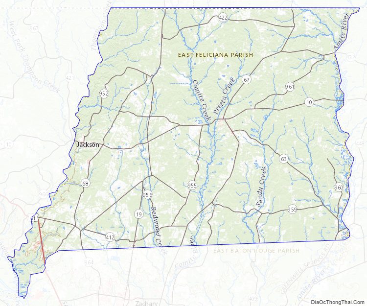
| Largest town: | Jackson |
| Total Area: | 456 sq mi (1,180 km²) |
| Land Area: | 453 sq mi (1,170 km²) |
| Total Population: | 19,531 |
| Population Density: | 43/sq mi (17/km²) |
| Time zone: | UTC−6 (Central) |
| Summer Time Zone (DST): | UTC−5 (CDT) |
| Website: | www.eastfelicianaclerk.org |
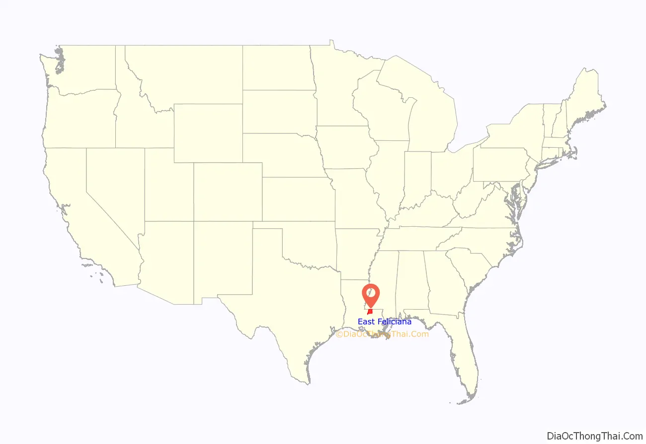
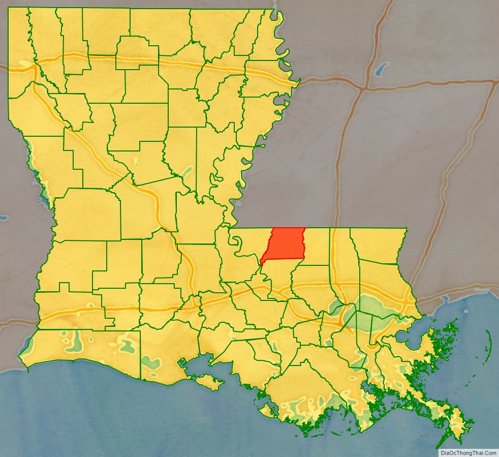
East Feliciana Parish location map. Where is East Feliciana Parish?
History
The parish was part of Feliciana Parish, which was founded and named in 1810 by Spaniards who then controlled the territory. The Spanish governor, Bernardo de Gálvez, named it in honor of his wife, Marie Felicité.
After the United States annexed this territory, population continued to increase. It had been developed for sugar cane plantations and business was thriving. In 1824, the state legislature divided the parish into East Feliciana Parish and West Feliciana Parish, so that residents would have easier access to their parish seats.
The Louisiana State Insane Asylum was the first state institution in the parish, established near the town of Jackson in 1847. It was greatly enlarged and improved under the administration of Dr. John Welch Jones, who was appointed as superintendent in 1874, during the Reconstruction era. The bi-racial legislators in power at the time made commitments to public education and state welfare institutions. The facility was later called East Louisiana State Hospital.
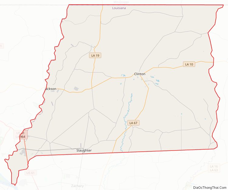
East Feliciana Parish Road Map
Geography
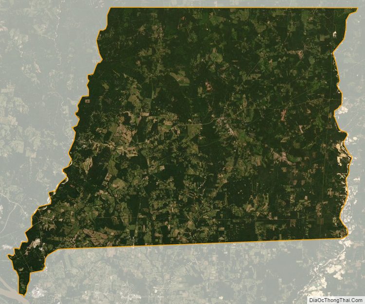
According to the U.S. Census Bureau, the parish has a total area of 456 square miles (1,180 km), of which 453 square miles (1,170 km) is land and 2.4 square miles (6.2 km) (0.5%) is water.
Major highways
- U.S. Highway 61
- Louisiana Highway 10
- Louisiana Highway 19
- Louisiana Highway 63
- Louisiana Highway 67
- Louisiana Highway 68
- Louisiana Highway 69
Adjacent parishes and counties
- Wilkinson County, Mississippi (northwest)
- Amite County, Mississippi (northeast)
- St. Helena Parish (east)
- East Baton Rouge Parish (south)
- West Feliciana Parish (west)
East Feliciana Parish Topographic Map
East Feliciana Parish Satellite Map
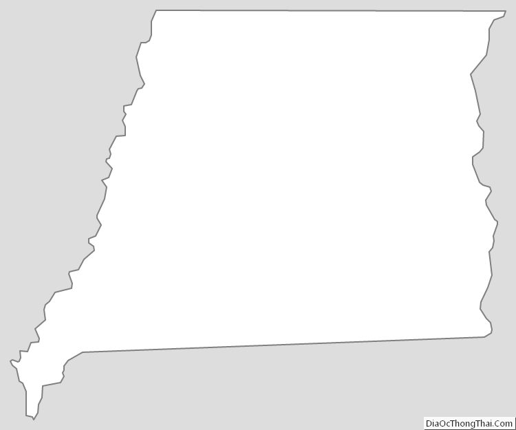
East Feliciana Parish Outline Map