Ellis County (county code EL) is a county located in the U.S. state of Kansas. As of the 2020 census, the county population was 28,934. Its county seat and most populous city is Hays.
Ellis County is the official German Capital of Kansas. German immigrants settled in Hays, Ellis, Victoria, and nearby villages in the 1870s and 1880s.
| Name: | Ellis County |
|---|---|
| FIPS code: | 20-051 |
| State: | Kansas |
| Founded: | 1867 |
| Named for: | George Ellis |
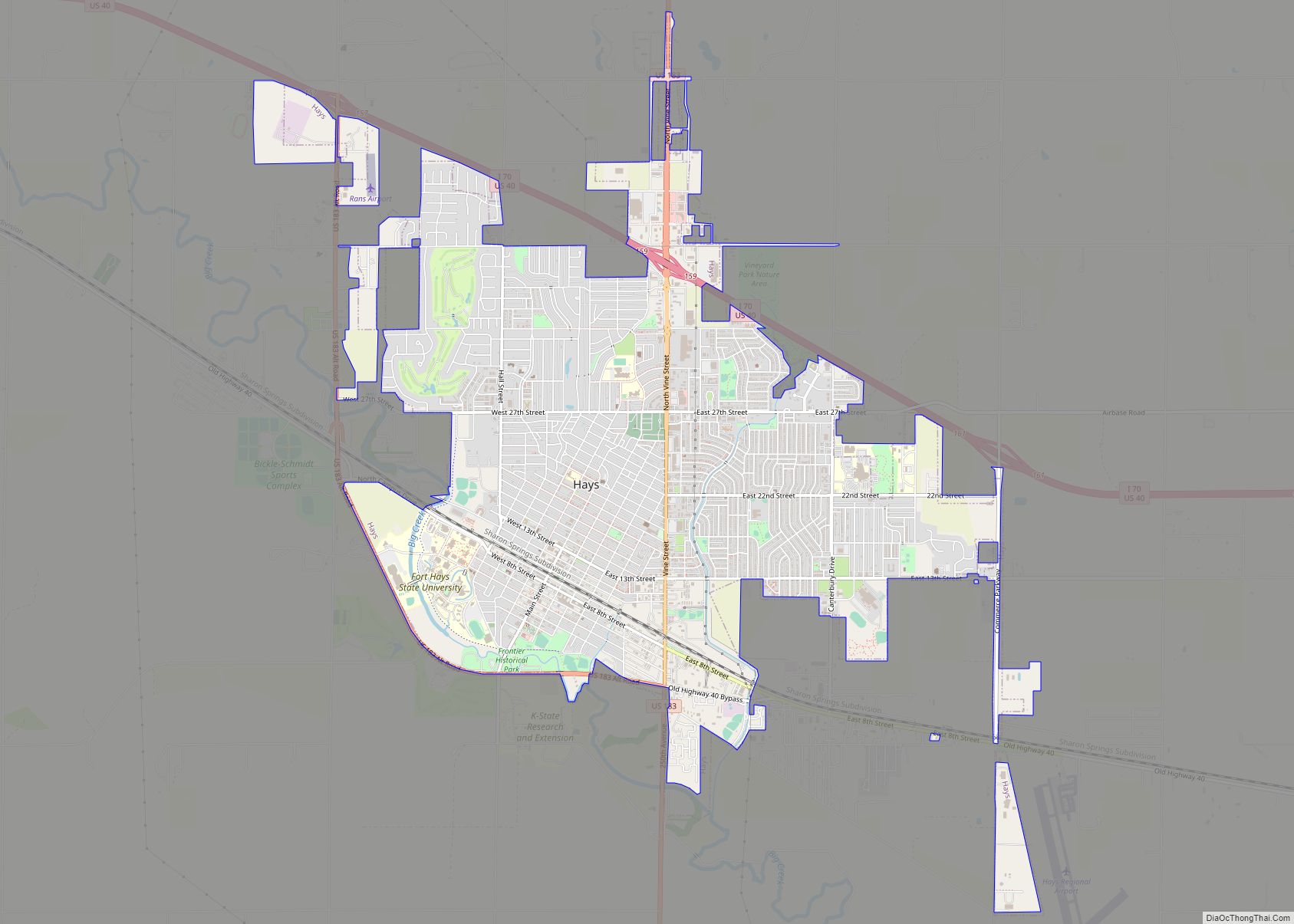
| Seat: | Hays |
| Largest city: | Hays |
| Total Area: | 900 sq mi (2,000 km²) |
| Land Area: | 899 sq mi (2,330 km²) |
| Total Population: | 28,934 |
| Population Density: | 32.2/sq mi (12.4/km²) |
| Time zone: | UTC−6 (Central) |
| Summer Time Zone (DST): | UTC−5 (CDT) |
| Website: | ellisco.net |
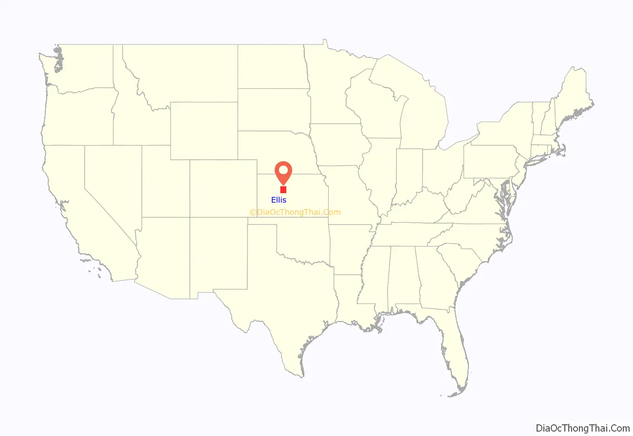
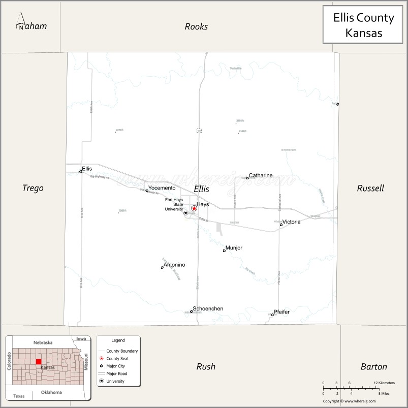
Ellis County location map. Where is Ellis County?
History
Early history
For many millennia, the Great Plains of North America was inhabited by nomadic Native Americans. From the 16th century to 18th century, the Kingdom of France claimed ownership of large parts of North America. In 1762, after the French and Indian War, France secretly ceded New France to Spain, per the Treaty of Fontainebleau.
19th century
In 1802, Spain returned most of the land to France, but keeping title to about 7,500 square miles. In 1803, most of the land for modern day Kansas was acquired by the United States from France as part of the 828,000 square mile Louisiana Purchase for 2.83 cents per acre.
In 1854, the Kansas Territory was organized, then in 1861 Kansas became the 34th U.S. state. Ellis County was founded on February 26, 1867. It is named for George Ellis, first lieutenant of the Twelfth Kansas Infantry.
20th century
In 1942, the Walker Army Airfield was built northwest of Walker. Thousands were stationed at the airfield for training of the Boeing B-29 Superfortress during World War II. The airfield was abandoned and most of it razed.
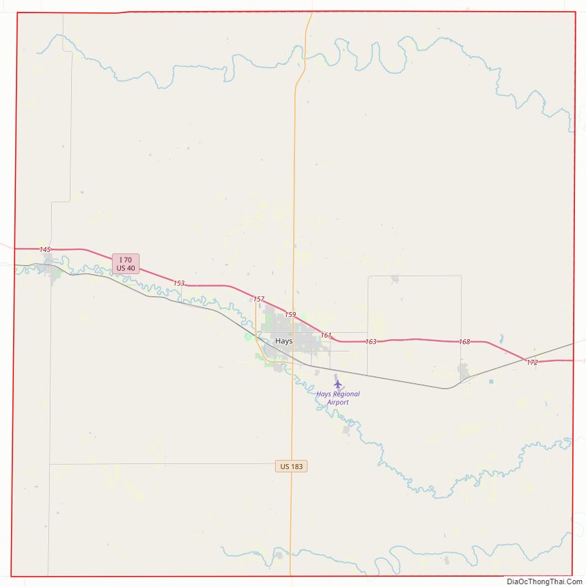
Ellis County Road Map
Geography
According to the U.S. Census Bureau, the county has a total area of 900 square miles (2,300 km), of which 900 square miles (2,300 km) is land and 0.5 square miles (1.3 km) (0.05%) is water.
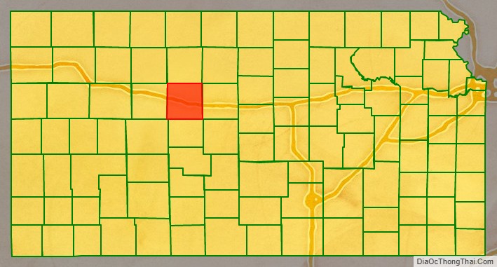
Adjacent counties
- Rooks County (north)
- Osborne County (northeast)
- Russell County (east)
- Rush County (south)
- Ness County (southwest)
- Trego County (west)
Major highways
- Interstate 70
- US-183
Airport
Hays Regional Airport is located within the county. Used primarily for general aviation, it hosts one commercial airline United Express, which offers daily jet service to Denver, Colorado.
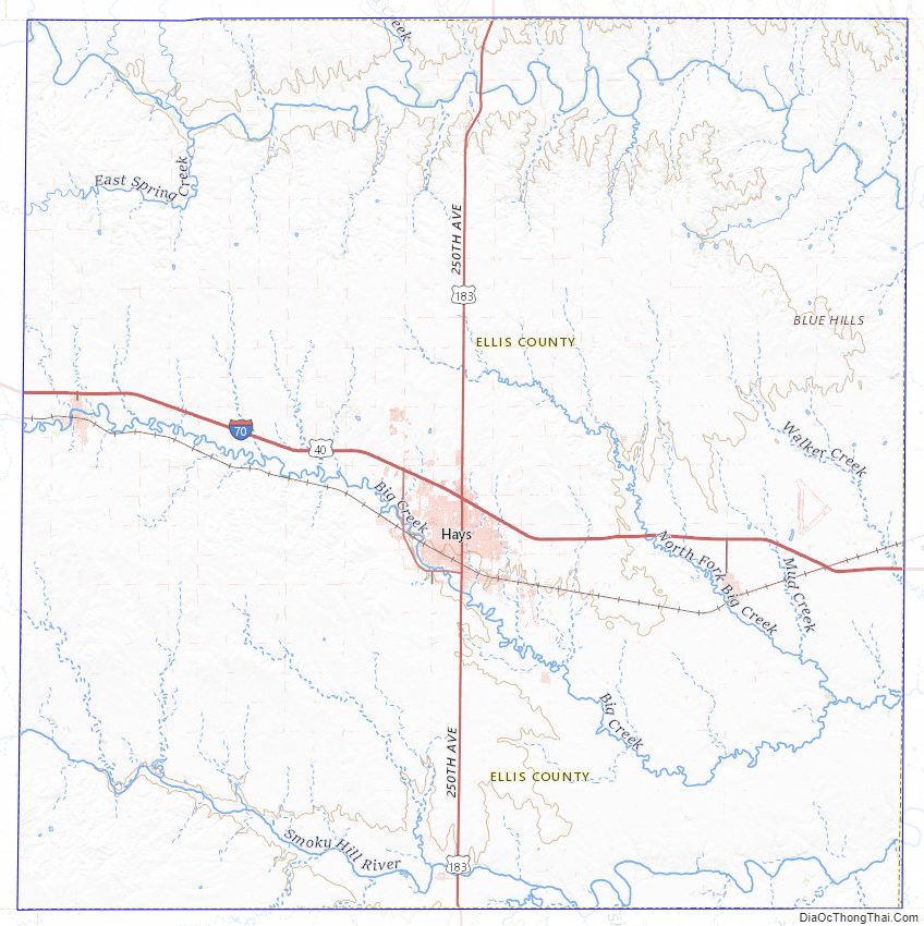
Ellis County Topographic Map
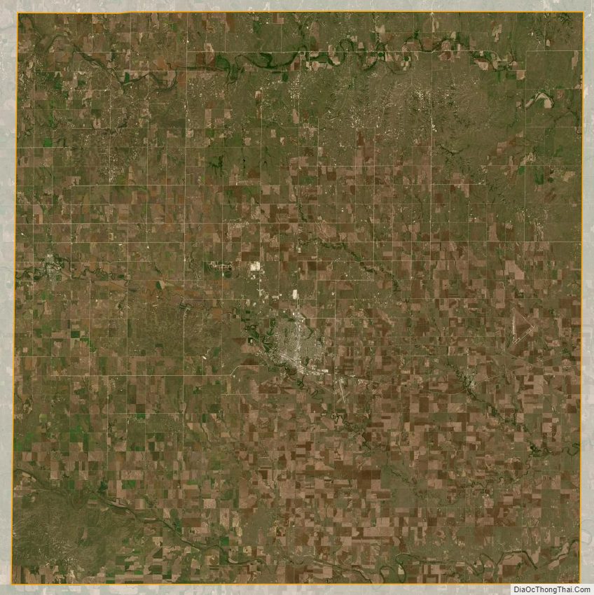
Ellis County Satellite Map
Ellis County Outline Map