Hays is a city in and the county seat of Ellis County, Kansas, United States. The largest city in northwestern Kansas, it is the economic and cultural center of the region. As of the 2020 census, the population of the city was 21,116. It is also a college town, home to Fort Hays State University.
| Name: | Hays city |
|---|---|
| LSAD Code: | 25 |
| LSAD Description: | city (suffix) |
| State: | Kansas |
| County: | Ellis County |
| Founded: | 1867 |
| Incorporated: | 1885 |
| Elevation: | 2,024 ft (617 m) |
| Total Area: | 8.48 sq mi (21.96 km²) |
| Land Area: | 8.48 sq mi (21.96 km²) |
| Water Area: | 0.00 sq mi (0.00 km²) |
| Total Population: | 21,116 |
| Population Density: | 2,500/sq mi (960/km²) |
| ZIP code: | 67601, 67667 |
| Area code: | 785 |
| FIPS code: | 2031100 |
| Website: | haysusa.com |
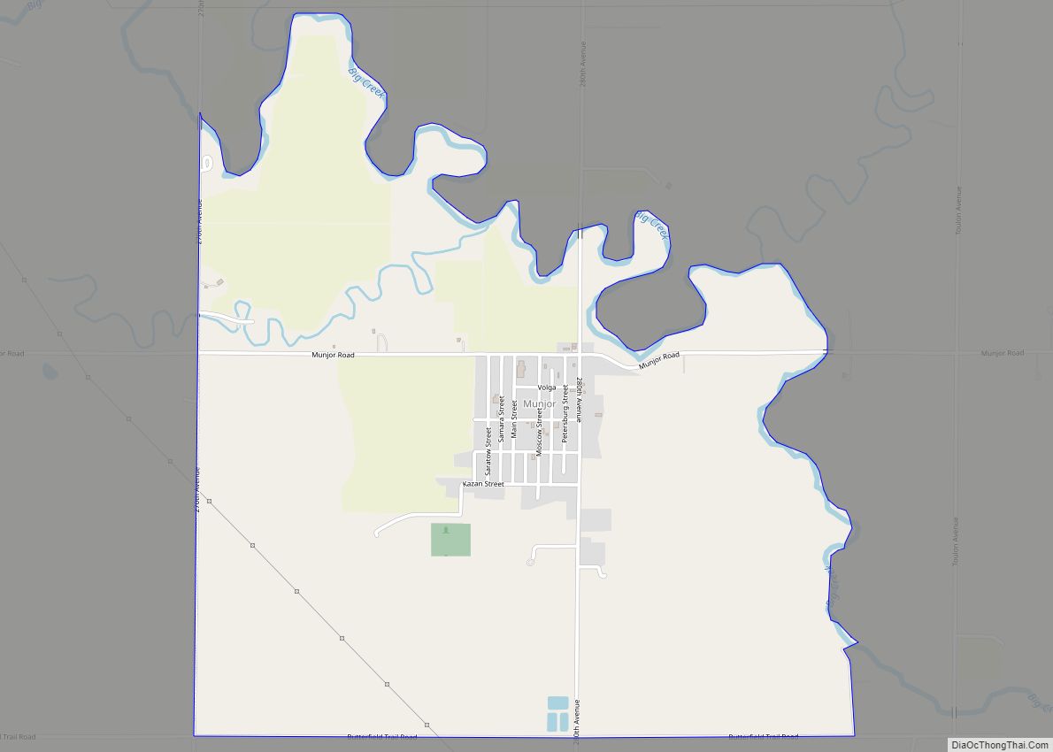
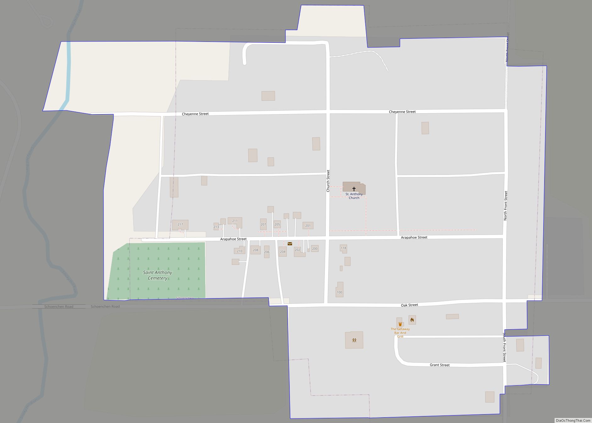
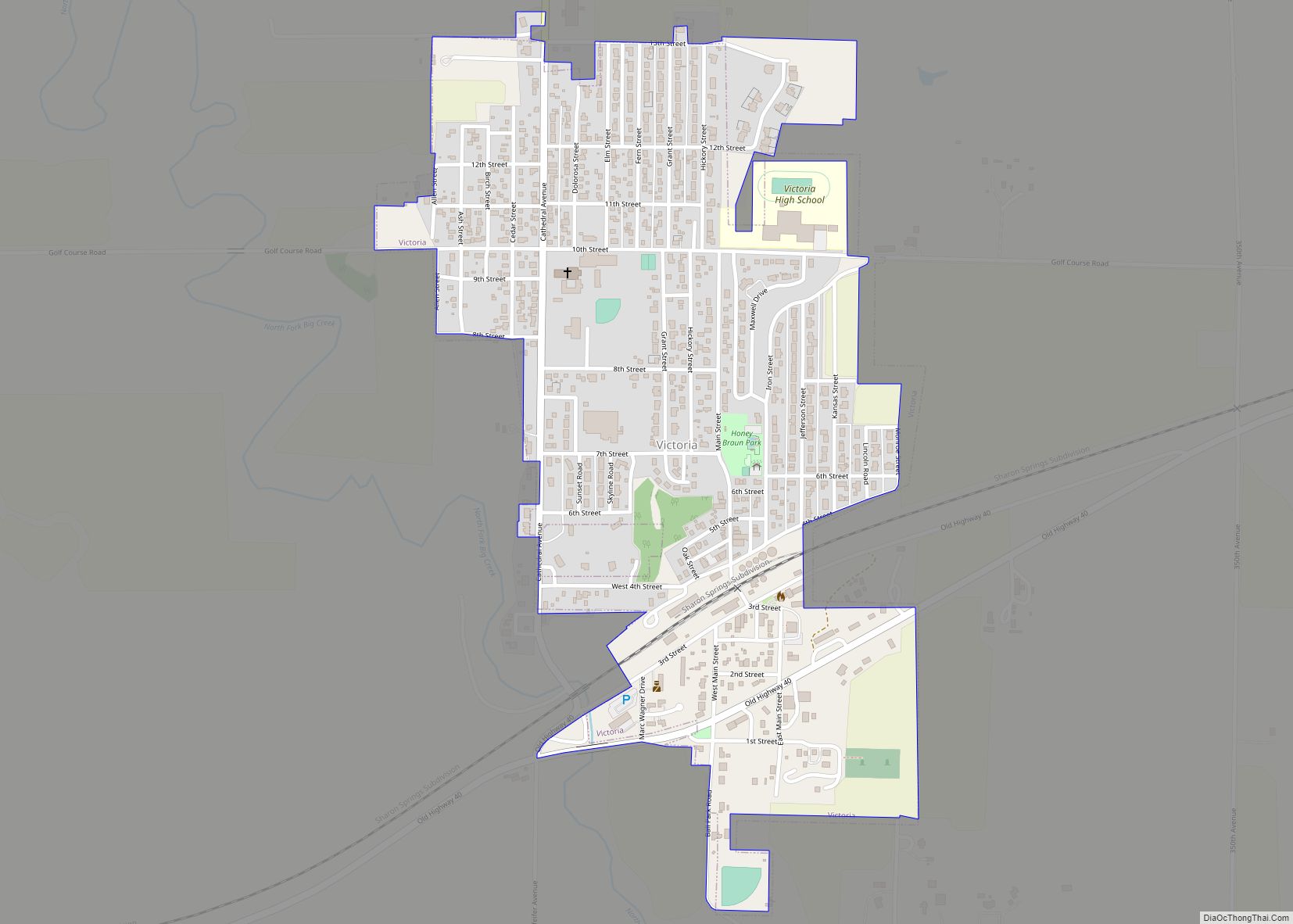
Online Interactive Map
Click on ![]() to view map in "full screen" mode.
to view map in "full screen" mode.
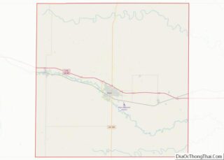
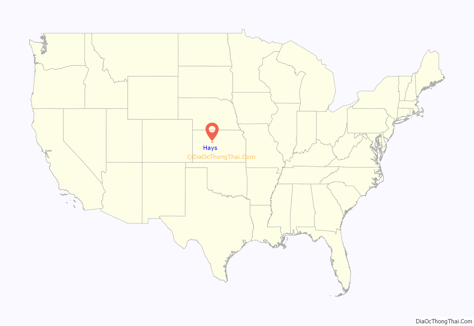
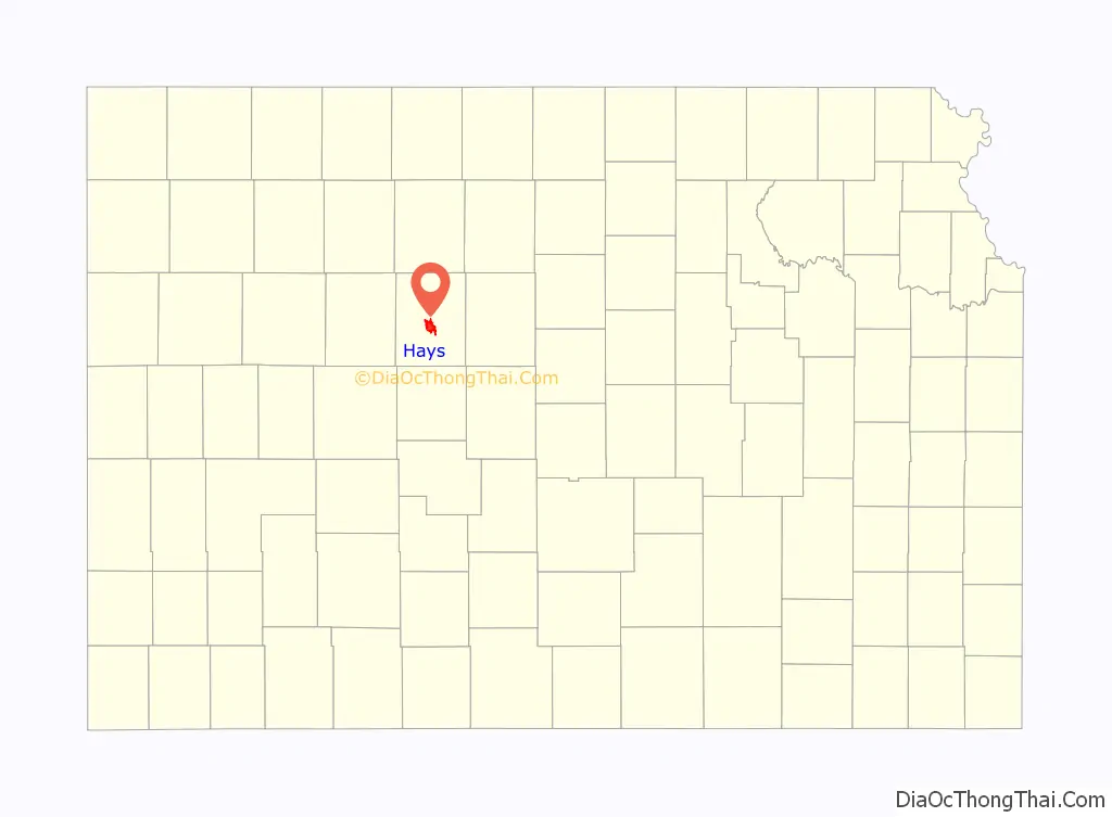
Hays location map. Where is Hays city?
History
Prior to American settlement of the area, the site of Hays was located near where the territories of the Arapaho, Kiowa, and Pawnee met. Claimed first by France as part of Louisiana and later acquired by the United States with the Louisiana Purchase in 1803, it lay within the area organized by the U.S. as Kansas Territory in 1854. Kansas became a state in 1861, and the state government delineated the surrounding area as Ellis County in 1867.
In 1865, the U.S. Army established Fort Fletcher southeast of present-day Hays to protect stagecoaches traveling the Smoky Hill Trail. A year later, the Army renamed the post Fort Hays in honor of the late Brig. Gen. Alexander Hays. In late 1866, anticipating the construction of the Kansas Pacific Railway as far west as Fort Hays, a party from St. Louis, Missouri led by William Webb selected three sections of land for colonization near the fort. In June 1867, to better serve the railroad, the Army relocated Fort Hays 15 miles northwest to a site near where the railroad was to cross Big Creek, a tributary of the Smoky Hill River. Seeing a business opportunity, Buffalo Bill Cody and railroad contractor William Rose founded the settlement of Rome near the fort’s new location. Within a month, the population of Rome grew to over 2,000. Webb, meanwhile, established the Big Creek Land Company and then surveyed and platted a town site, which he named Hays City after the fort, roughly one mile east of Rome. The railroad reached Hays City soon thereafter and constructed a depot there. The railroad’s arrival, combined with a cholera epidemic that hit Rome in the late summer of 1867, drove Rome businesses and residents to relocate to Hays City. Within a year, Rome was completely abandoned. As the western terminus of the railway, Hays City grew rapidly, serving as the supply point for territories to the west and southwest.
As a frontier town, Hays City experienced the kind of violence that gave rise to the myth of the American Old West. Several notable figures of the Old West lived in the Hays City of this era, including George Armstrong Custer, his wife Elizabeth Bacon Custer, Calamity Jane, Buffalo Bill Cody, and Wild Bill Hickok who served a brief term as sheriff in 1869. 30 homicides occurred between 1867 and 1873 including a deadly saloon shootout involving Fort Hays soldiers. A cemetery north of town became known as “Boot Hill”; by 1885, it held the bodies of some 79 outlaws.
Hays experienced significant racial violence during the same period. In 1869, the murder of Union Pacific watchman James Hayes led to the lynching of three African American soldiers. That same year, six black soldiers at Fort Hays were murdered, their bodies were dropped in a well that was sodded over, and they were falsely reported as deserters. A mob then hunted down and lynched two black barbers, and the town’s black residents were expelled. This and numerous other racial incidents throughout the last half of the 19th century gave Hays a reputation as a sundown town. African Americans living in nearby Nicodemus were not welcome after dark. No signs formally establishing this policy were posted, but the town’s reputation for racial discrimination persisted for decades.
Hays City became the county seat of Ellis County in 1870, and the town became more civilized. Rougher elements of the populace had begun to leave in the late 1860s, many following the Kansas Pacific railroad construction west to Sheridan or moving south to Dodge City. Volga Germans started settling in Ellis County in 1876, finding its land suitable for their lifestyle and the types of crops they had grown in Russia. They brought with them Turkey Red Wheat, a type of winter wheat whose cultivation contributed to the agricultural transformation of the region. Bukovina Germans began settling in the area in 1886. These groups had a significant impact on the local way of life, establishing Hays as a regional center of ethnic German culture. Hays City was incorporated in 1885, and, in 1895, it was renamed as simply Hays.
Fort Hays closed in 1889. In 1900, the Kansas delegation to the U.S. Congress secured the fort’s land and facilities for educational purposes. The following year, the Kansas Legislature established the Fort Hays Experiment Station, part of Kansas State Agricultural College, on the Fort Hays reservation and set aside land for the Western Branch of Kansas State Normal School, which opened in 1902 and eventually became Fort Hays State University. Fort Hays opened as a historical park in 1929 and was later acquired by the Kansas Historical Society. In 1967, it became the Fort Hays State Historic Site.
Several disasters have struck Hays over the course of its history. In 1895, fire destroyed 60 buildings downtown. Severe floods occurred in 1907 and 1951. In 1919, three Standard Oil gasoline tanks exploded, killing eight and injuring approximately 150 people. In 1935, the city experienced violent dust storms as part of the Dust Bowl.
Hays began to modernize in the early 1900s with a power plant, waterworks, telephone exchange, and sewer system complete by 1911. Over the following decades, the city evolved into a regional economic hub. Development of oil fields in the surrounding area began in 1936 with Hays serving as a trading center and shipping point. Hays Regional Airport opened in 1961. Interstate 70 reached Hays in 1966. Today, Hays is a commercial and educational center for western Kansas. Hays was the subject of an April, 1952 cultural article in National Geographic Magazine
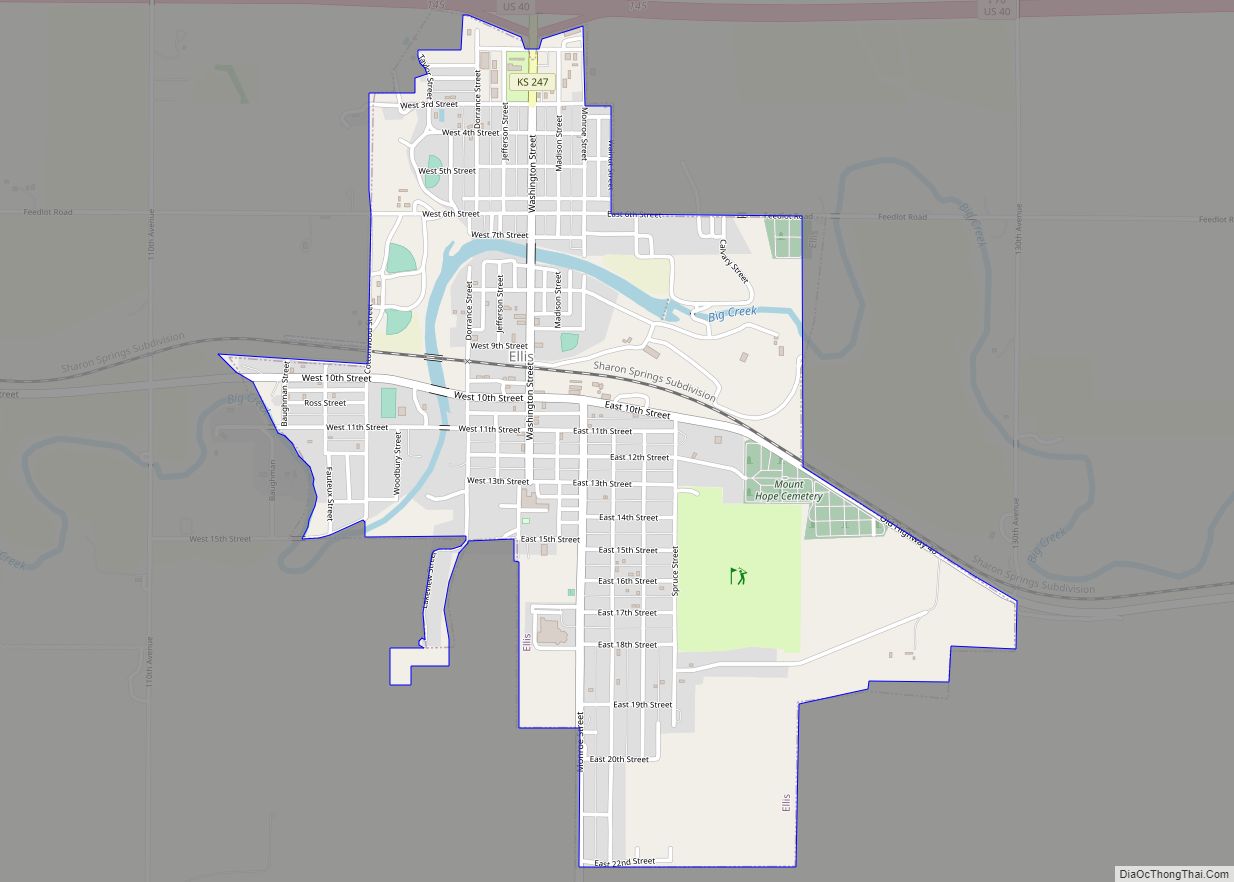
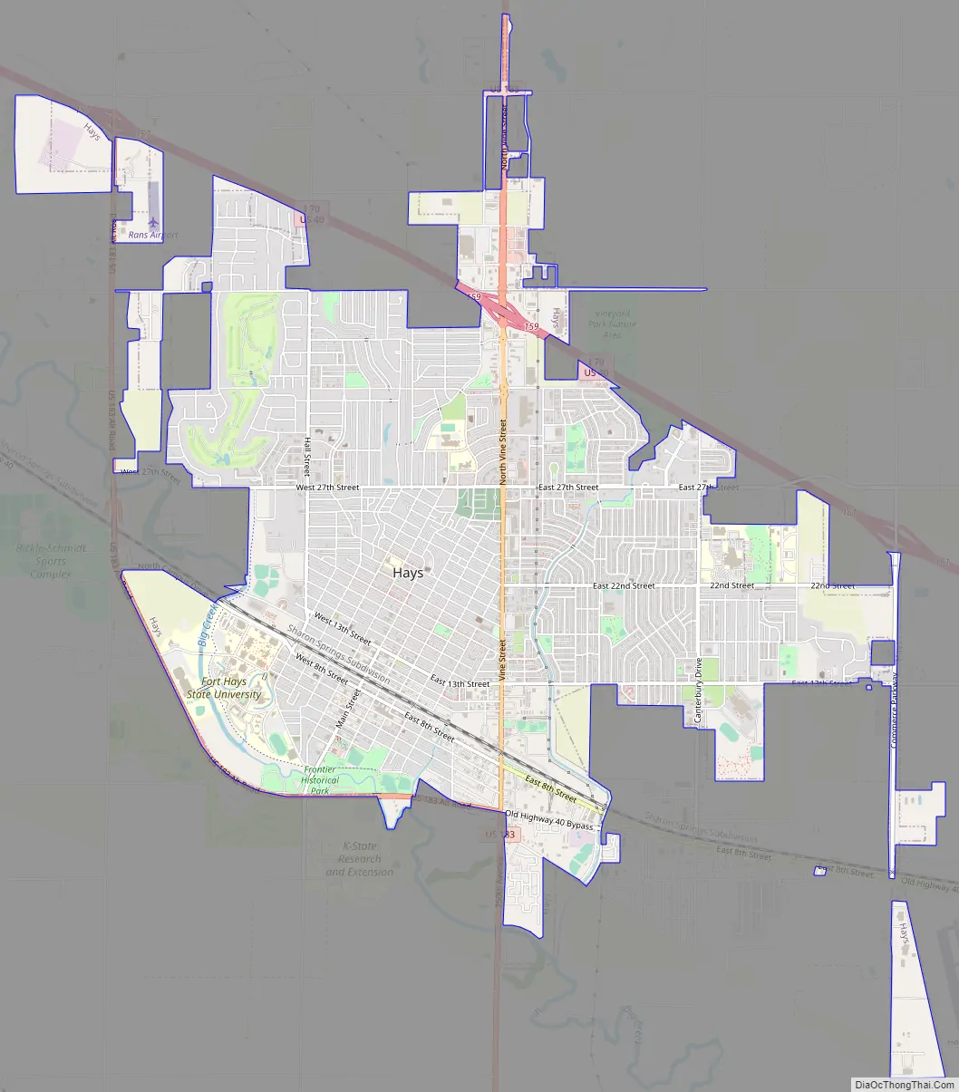
Hays Road Map
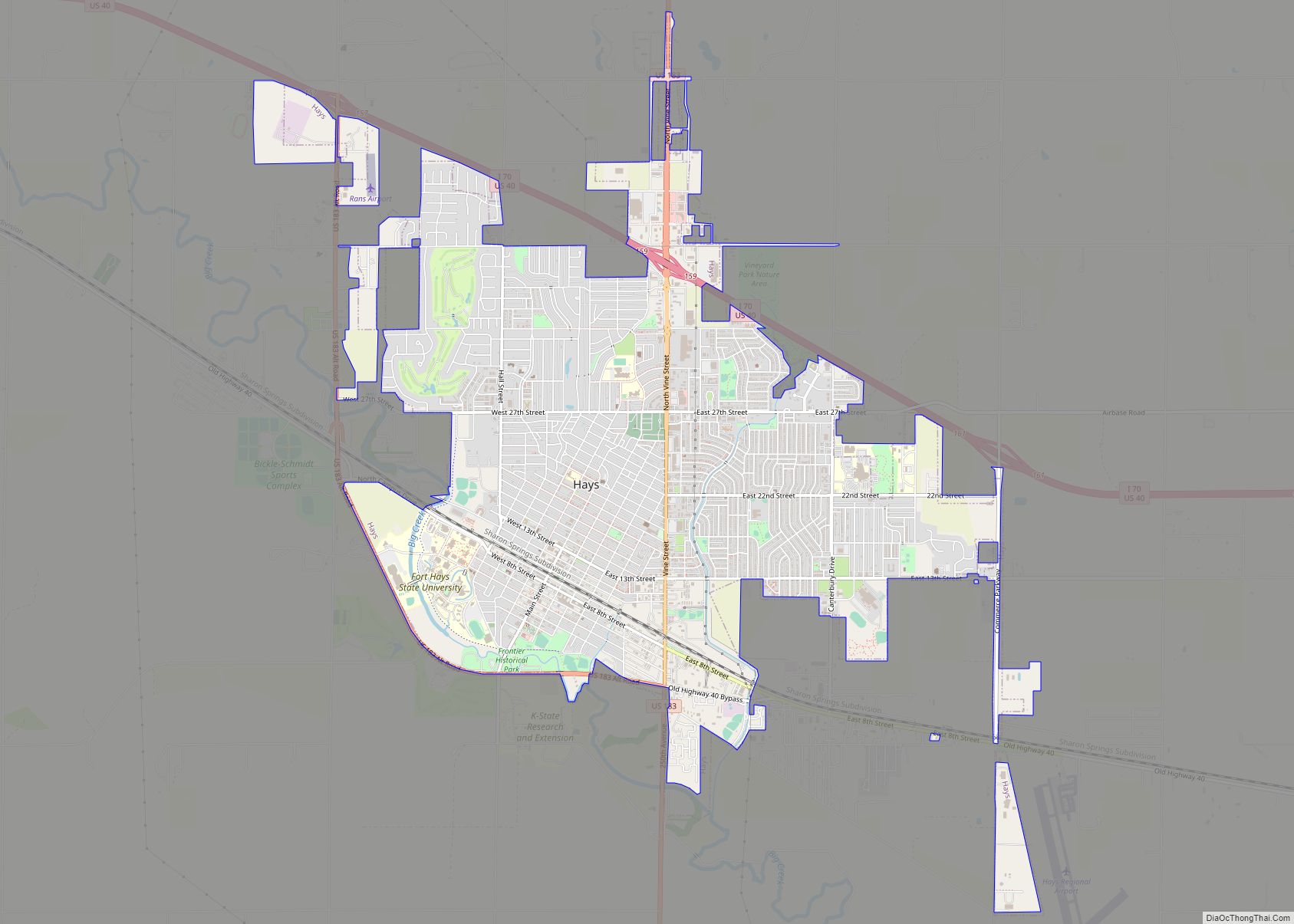
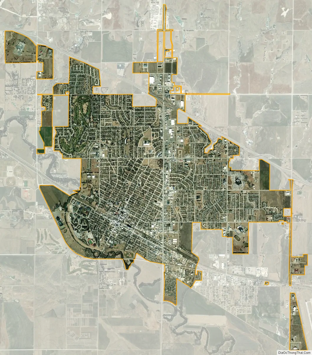
Hays city Satellite Map
Geography
Hays is located at 38°52′46″N 99°19′20″W / 38.87944°N 99.32222°W / 38.87944; -99.32222 (38.879399, −99.322277) at an elevation of 2,024 feet (617 m). Located in northwestern Kansas at the intersection of Interstate 70 and U.S. Route 183, Hays is 134 miles (216 km) northwest of Wichita, 256 miles (412 km) west of Kansas City, and 311 miles (501 km) east-southeast of Denver.
The city lies in the Smoky Hills region of the Great Plains approximately 11 miles (18 km) north of the Smoky Hill River and 15 miles (24 km) south of the Saline River. Big Creek, a tributary of the Smoky Hill River, runs through the southwestern part of the city. Chetolah Creek, a tributary of Big Creek, flows south through the eastern part of the city.
According to the United States Census Bureau, the city has a total area of 7.95 square miles (20.59 km), all land.
Climate
Hays sits near the convergence of a humid continental climate (Köppen Dwa) and a temperate semi-arid climate (Köppen BSk). It typically experiences hot summers with variable humidity and cold winters. Due to its geographic location at a climatic boundary, severe weather is common, with tornadoes a major threat, especially in the spring and early summer months. On average, January is the coldest month, and July is both the hottest and wettest month.
The average temperature in Hays is 54 °F (12 °C). Over the course of a year, temperatures range from an average low of 16.2 °F (−8.8 °C) in January to an average high of 92.4 °F (33.6 °C) in July. The high temperature reaches or exceeds 90 °F (32 °C) an average of 63 days a year and reaches or exceeds 100 °F (38 °C) an average of 14 days a year. The minimum temperature falls below the freezing point 32 °F (0 °C) an average of 136 days a year. The hottest temperature recorded in Hays was 117 °F (47 °C) on July 13, 1934; the coldest temperature recorded was −26 °F (−32 °C) on February 13, 1905.
On average, Hays receives 23.45 inches (596 mm) of precipitation in a year with the largest share being received from May through August. The average relative humidity is 64%. There are, on average, 77 days of measurable precipitation each year. Annual snowfall averages 16.7 inches (42 cm). Measurable snowfall occurs an average of 11 days a year with at least an inch of snow being received on six of those days. Snow depth of at least an inch occurs an average of 25 days a year. Typically, the first fall freeze occurs by the second week of October, and the last spring freeze occurs by the last week of April.
See also
Map of Kansas State and its subdivision:- Allen
- Anderson
- Atchison
- Barber
- Barton
- Bourbon
- Brown
- Butler
- Chase
- Chautauqua
- Cherokee
- Cheyenne
- Clark
- Clay
- Cloud
- Coffey
- Comanche
- Cowley
- Crawford
- Decatur
- Dickinson
- Doniphan
- Douglas
- Edwards
- Elk
- Ellis
- Ellsworth
- Finney
- Ford
- Franklin
- Geary
- Gove
- Graham
- Grant
- Gray
- Greeley
- Greenwood
- Hamilton
- Harper
- Harvey
- Haskell
- Hodgeman
- Jackson
- Jefferson
- Jewell
- Johnson
- Kearny
- Kingman
- Kiowa
- Labette
- Lane
- Leavenworth
- Lincoln
- Linn
- Logan
- Lyon
- Marion
- Marshall
- McPherson
- Meade
- Miami
- Mitchell
- Montgomery
- Morris
- Morton
- Nemaha
- Neosho
- Ness
- Norton
- Osage
- Osborne
- Ottawa
- Pawnee
- Phillips
- Pottawatomie
- Pratt
- Rawlins
- Reno
- Republic
- Rice
- Riley
- Rooks
- Rush
- Russell
- Saline
- Scott
- Sedgwick
- Seward
- Shawnee
- Sheridan
- Sherman
- Smith
- Stafford
- Stanton
- Stevens
- Sumner
- Thomas
- Trego
- Wabaunsee
- Wallace
- Washington
- Wichita
- Wilson
- Woodson
- Wyandotte
- Alabama
- Alaska
- Arizona
- Arkansas
- California
- Colorado
- Connecticut
- Delaware
- District of Columbia
- Florida
- Georgia
- Hawaii
- Idaho
- Illinois
- Indiana
- Iowa
- Kansas
- Kentucky
- Louisiana
- Maine
- Maryland
- Massachusetts
- Michigan
- Minnesota
- Mississippi
- Missouri
- Montana
- Nebraska
- Nevada
- New Hampshire
- New Jersey
- New Mexico
- New York
- North Carolina
- North Dakota
- Ohio
- Oklahoma
- Oregon
- Pennsylvania
- Rhode Island
- South Carolina
- South Dakota
- Tennessee
- Texas
- Utah
- Vermont
- Virginia
- Washington
- West Virginia
- Wisconsin
- Wyoming