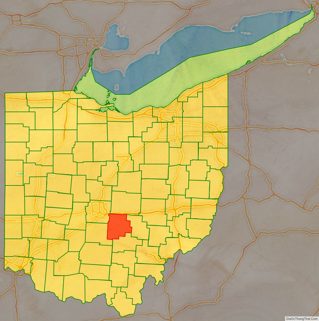
Fairfield County is a county located in the U.S. state of Ohio. As of the 2020 census, the population was 158,921. Its county seat and largest city is Lancaster. Its name is a reference to the Fairfield area of the original Lancaster.
Fairfield County is part of the Columbus, OH Metropolitan Statistical Area.
| Name: | Fairfield County |
|---|---|
| FIPS code: | 39-045 |
| State: | Ohio |
| Founded: | December 9, 1800 |
| Named for: | the Fairfield area of Lancaster, Lancashire, UK |
| Seat: | Lancaster |
| Largest city: | Lancaster |
| Total Area: | 509 sq mi (1,320 km²) |
| Land Area: | 504 sq mi (1,310 km²) |
| Total Population: | 158,921 |
| Population Density: | 310/sq mi (120/km²) |
| Time zone: | UTC−5 (Eastern) |
| Summer Time Zone (DST): | UTC−4 (EDT) |
| Website: | www.co.fairfield.oh.us |
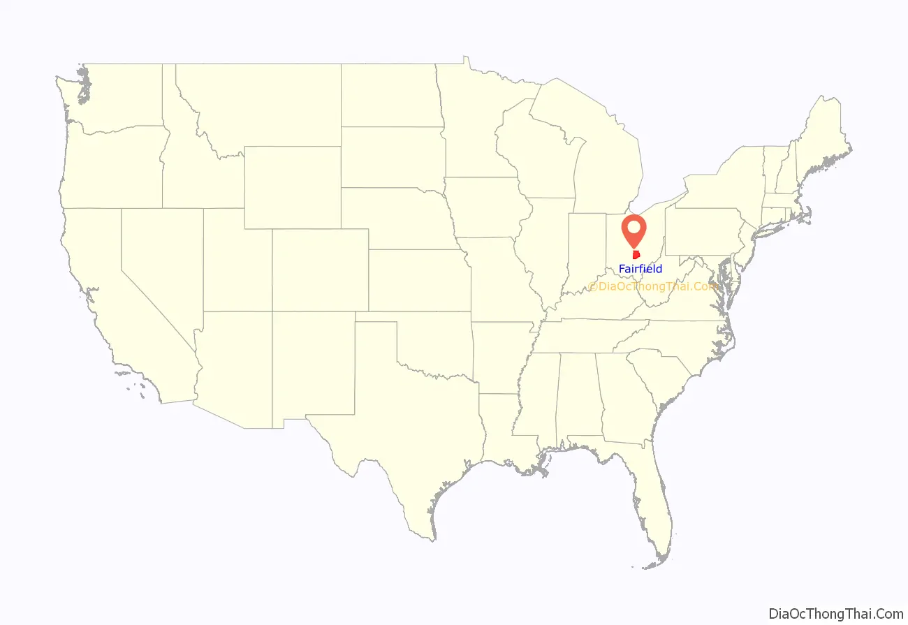
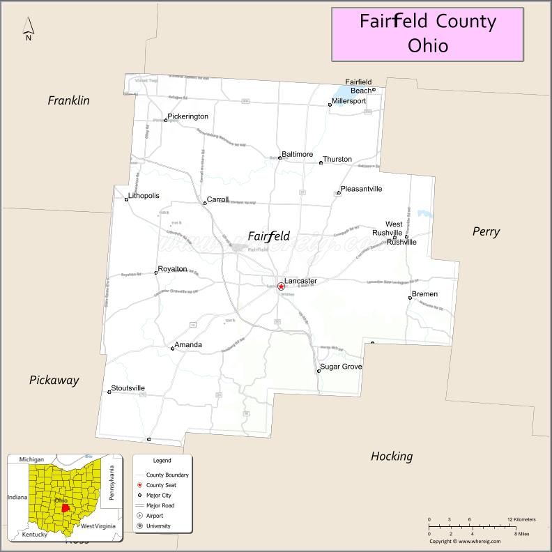
Fairfield County location map. Where is Fairfield County?
History
Fairfield County originally encompassed all or parts of present day Knox, Hocking, Licking, Perry, and Pickaway Counties. Fairfield is a descriptive name referring to the beauty of their fields.
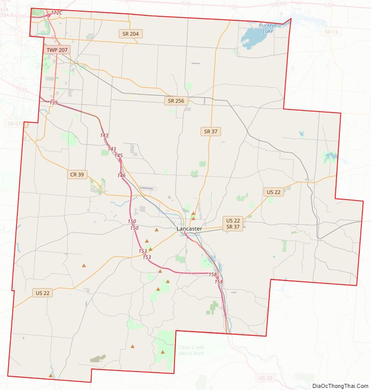
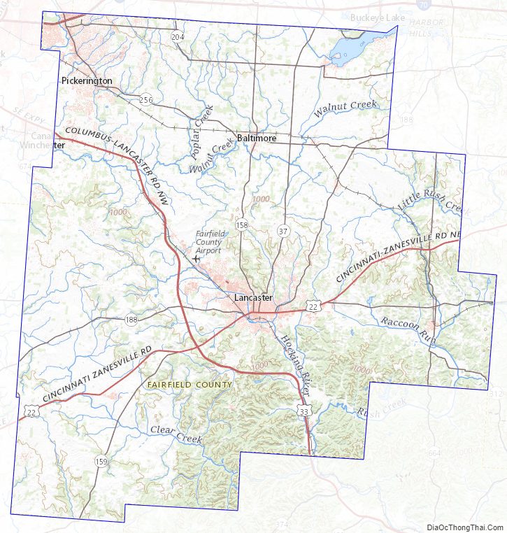
Fairfield County Road Map
Geography
According to the U.S. Census Bureau, the county has a total area of 509 square miles (1,320 km), of which 504 square miles (1,310 km) is land and 4.2 square miles (11 km) (0.8%) is water.
Fairfield County sits just on the edge of Ohio’s Appalachian region. While the once-glaciated northern portion of the county is fairly flat, as one travels south along U.S. 33 one can easily recognize the foothills of a mountainous region beginning around the village of Carroll. Although not officially part of the state or federal definition of Appalachia, certain areas of Fairfield County—particularly south of U.S. 22—bear a distinctly Appalachian feel in both physical geography and demographics.
The scenic Hocking Hills region lies immediately to the south, mostly in neighboring Hocking County. A large portion of Buckeye Lake is located in northeastern Fairfield County.
Mudhouse Mansion, an alleged haunted house, was located in the county.
Adjacent counties
- Licking County (north)
- Perry County (east)
- Hocking County (south)
- Pickaway County (southwest)
- Franklin County (northwest)
Fairfield County Topographic Map
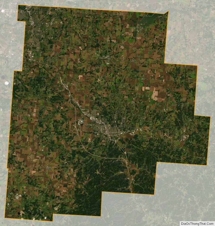
Fairfield County Satellite Map
Fairfield County Outline Map