Lancaster (locally /ˈlæŋk(ə)stər/ LANK-(ə-)stər) is a city in Fairfield County, Ohio, in the south-central part of the state. As of the 2020 census, the city population was 40,552. The city is near the Hocking River, about 33 miles (53 km) southeast of Columbus and 38 miles (61 km) southwest of Zanesville. It is the county seat of Fairfield County.
| Name: | Lancaster city |
|---|---|
| LSAD Code: | 25 |
| LSAD Description: | city (suffix) |
| State: | Ohio |
| County: | Fairfield County |
| Elevation: | 879 ft (268 m) |
| Total Area: | 19.03 sq mi (49.29 km²) |
| Land Area: | 18.97 sq mi (49.12 km²) |
| Water Area: | 0.06 sq mi (0.17 km²) |
| Total Population: | 40,552 |
| Population Density: | 2,138.03/sq mi (825.50/km²) |
| ZIP code: | 43130 |
| FIPS code: | 3941720 |
| GNISfeature ID: | 1048903 |
| Website: | www.ci.lancaster.oh.us |
Online Interactive Map
Click on ![]() to view map in "full screen" mode.
to view map in "full screen" mode.
Lancaster location map. Where is Lancaster city?


History
The earliest known inhabitants of the southeastern and central Ohio region were the Hopewell, Adena, and Fort Ancient Native Americans, of whom little evidence survived, beyond the burial and ceremonial mounds built throughout the Ohio and Mississippi Valleys. Many mounds and burial sites have also yielded archaeological artifacts. Serpent Mound and Hopewell Culture National Historical Park, though not in Fairfield County, are nearby.
Before and immediately after European settlement, the land today comprising Lancaster and Fairfield County was inhabited by the Shawnee, nations of the Iroquois, Wyandot, and other Native American tribes. It served as a natural crossroads for the inter- and intra-tribal wars fought at various times. Frontier explorer Christopher Gist reached Lancaster’s vicinity on January 19, 1751, when he visited the small Delaware town of Hockhocking nearby. Leaving the area the next day, Gist rode southwest to Maguck, another Delaware town near Circleville.
Having been ceded to the United States by Great Britain after the American Revolution in the Treaty of Paris, the lands north of the Ohio River and west of the Appalachian Mountains were incorporated into the Northwest Territory in 1787. White settlers began to encroach on Native American lands in the Northwest Territory. As the new United States government began to cast its eye westward, the stage was set for the series of campaigns that culminated in the Battle of Fallen Timbers in 1794 and the Treaty of Greenville in 1795. With pioneer settlement within Ohio made legal and safe from Indian raids, developers began to speculate in land sales in earnest.
Knowing that such speculation, combined with congressional grants of land sections to veterans of the Revolution, could result in a lucrative opportunity, in 1796 Ebenezer Zane petitioned Congress to grant him a contract to blaze a trail through Ohio, from Wheeling, West Virginia, to Limestone, Kentucky (near modern Maysville, Kentucky), a distance of 266 miles (428 km). As part of the deal, Zane was awarded square-mile tracts of land at the points where his trace crossed the Hocking, Muskingum, and Scioto Rivers. Zane’s Trace, as it is now known, was completed by 1797. As Zane’s sons began to carve the square-mile tract astride the Hocking into saleable plots, the village of Lancaster was founded in 1800. Lancaster antedated the formal establishment of the state of Ohio by three years. Many villages and townships right outside Lancaster, such as Lithopolis, Royalton, and Greencastle, were settled around the same time, which contributed to the village’s success.
Initially known as New Lancaster, and later shortened by city ordinance (1805), the town quickly grew; formal incorporation as a city came in 1831. The connection of the Hocking Canal to the Ohio and Erie Canal in this era provided a way for the region’s rich agricultural produce to reach eastern markets.
The initial settlers were predominantly German immigrants and their descendents, many from Lancaster, Pennsylvania. Ohio’s longest continuously operating newspaper, the Lancaster Eagle-Gazette, was born of a merger of the early Ohio Adler, founded around 1807, with the Ohio Gazette, founded in the 1830s. The two papers were ferocious competitors since they were on opposite sides of the American Civil War, with the Adler antislavery and pro-Union. The city also had numerous migrants from the Upper South who sympathized with the Confederacy. The papers merged in 1937, 72 years after the war’s end. This was shortly after the Gazette was acquired by glassmaker Anchor-Hocking. The newspaper is currently part of the Newspaper Network of Central Ohio, a unit of Gannett Company, Inc.
Lancaster Road Map
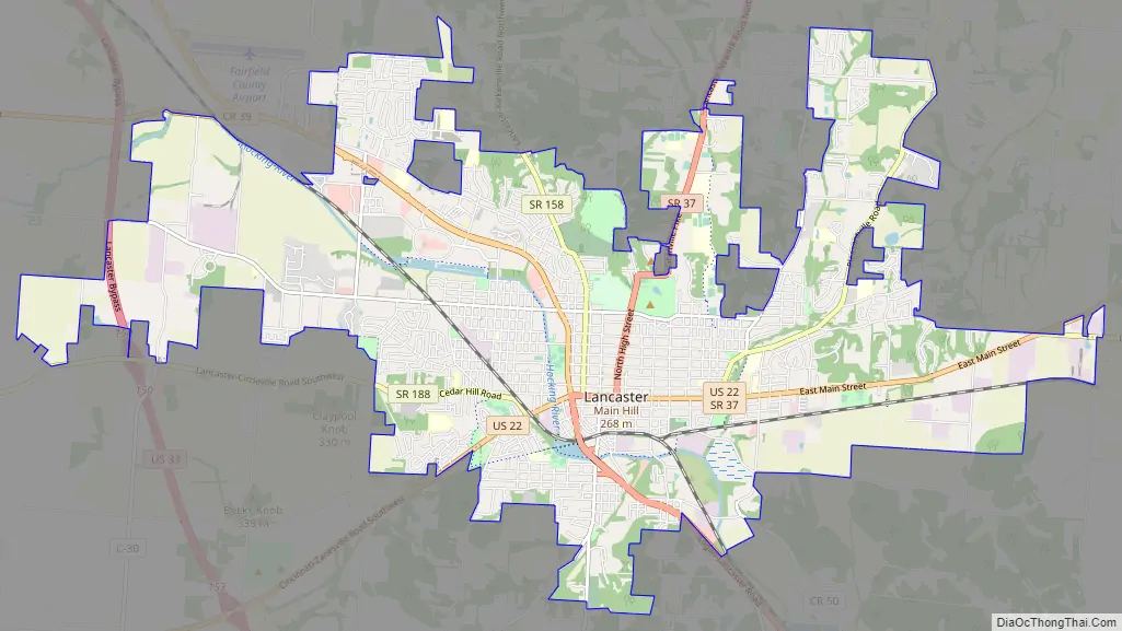
Lancaster city Satellite Map

Geography
Lancaster is located at 39°43′N 82°36′W / 39.717°N 82.600°W / 39.717; -82.600 (39.7193, -82.6053). According to the United States Census Bureau, the city has a total area of 18.90 square miles (48.95 km), of which 0.06 square miles (0.16 km) is covered by water.
Climate
See also
Map of Ohio State and its subdivision:- Adams
- Allen
- Ashland
- Ashtabula
- Athens
- Auglaize
- Belmont
- Brown
- Butler
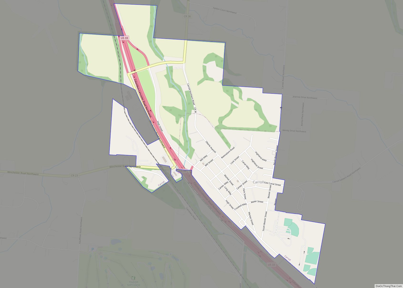
- Carroll
- Champaign
- Clark
- Clermont
- Clinton
- Columbiana
- Coshocton
- Crawford
- Cuyahoga
- Darke
- Defiance
- Delaware
- Erie
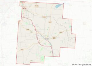
- Fairfield
- Fayette
- Franklin
- Fulton
- Gallia
- Geauga
- Greene
- Guernsey
- Hamilton
- Hancock
- Hardin
- Harrison
- Henry
- Highland
- Hocking
- Holmes
- Huron
- Jackson
- Jefferson
- Knox
- Lake
- Lake Erie
- Lawrence
- Licking
- Logan
- Lorain
- Lucas
- Madison
- Mahoning
- Marion
- Medina
- Meigs
- Mercer
- Miami
- Monroe
- Montgomery
- Morgan
- Morrow
- Muskingum
- Noble
- Ottawa
- Paulding
- Perry
- Pickaway
- Pike
- Portage
- Preble
- Putnam
- Richland
- Ross
- Sandusky
- Scioto
- Seneca
- Shelby
- Stark
- Summit
- Trumbull
- Tuscarawas
- Union
- Van Wert
- Vinton
- Warren
- Washington
- Wayne
- Williams
- Wood
- Wyandot
- Alabama
- Alaska
- Arizona
- Arkansas
- California
- Colorado
- Connecticut
- Delaware
- District of Columbia
- Florida
- Georgia
- Hawaii
- Idaho
- Illinois
- Indiana
- Iowa
- Kansas
- Kentucky
- Louisiana
- Maine
- Maryland
- Massachusetts
- Michigan
- Minnesota
- Mississippi
- Missouri
- Montana
- Nebraska
- Nevada
- New Hampshire
- New Jersey
- New Mexico
- New York
- North Carolina
- North Dakota
- Ohio
- Oklahoma
- Oregon
- Pennsylvania
- Rhode Island
- South Carolina
- South Dakota
- Tennessee
- Texas
- Utah
- Vermont
- Virginia
- Washington
- West Virginia
- Wisconsin
- Wyoming