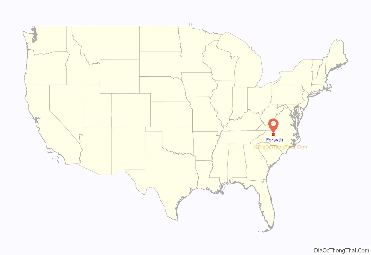
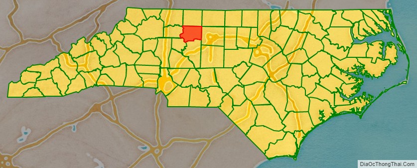
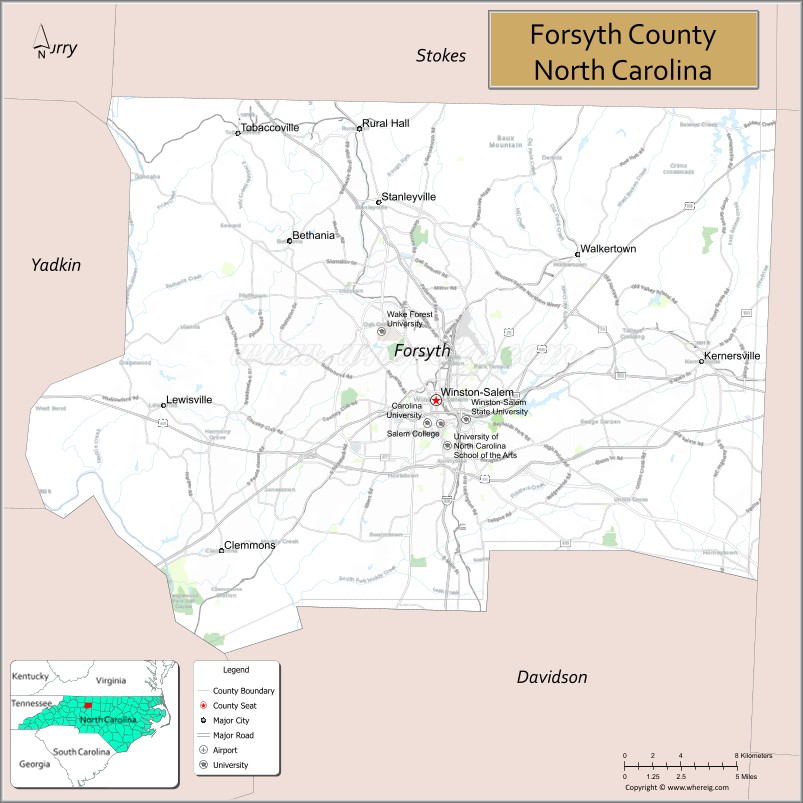
Forsyth County is located in the northwest Piedmont of the U.S. state of North Carolina. As of the 2020 census, the population was 382,590, making it the fourth-most populous county in North Carolina. Its county seat is Winston-Salem. Forsyth County is part of the Winston-Salem, NC, Metropolitan Statistical Area, which is also included in the Greensboro-Winston-Salem-High Point, NC, Combined Statistical Area. Portions of Forsyth County are in the Yadkin Valley wine region.
| Name: | Forsyth County |
|---|---|
| FIPS code: | 37-067 |
| State: | North Carolina |
| Founded: | 1849 |
| Named for: | Colonel Benjamin Forsyth |
| Seat: | Winston-Salem |
| Largest city: | Winston-Salem |
| Total Area: | 413 sq mi (1,070 km²) |
| Land Area: | 408 sq mi (1,060 km²) |
| Total Population: | 382,590 |
| Population Density: | 930/sq mi (360/km²) |
| Time zone: | UTC−5 (Eastern) |
| Summer Time Zone (DST): | UTC−4 (EDT) |
| Website: | www.co.forsyth.nc.us |
Forsyth County location map. Where is Forsyth County?
History
The county was formed in 1849 from Stokes County. It was named for Colonel Benjamin Forsyth, who was killed in the War of 1812.
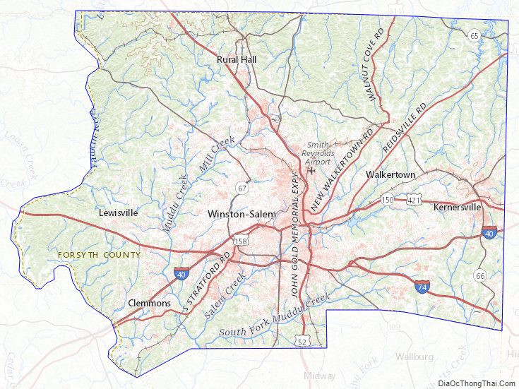
Forsyth County Road Map
Geography
According to the U.S. Census Bureau, the county is in the outer Appalachian Mountains, and has a total area of 413 square miles (1,070 km), of which 408 square miles (1,060 km) is land and 4.5 square miles (12 km) (1.1%) is water.
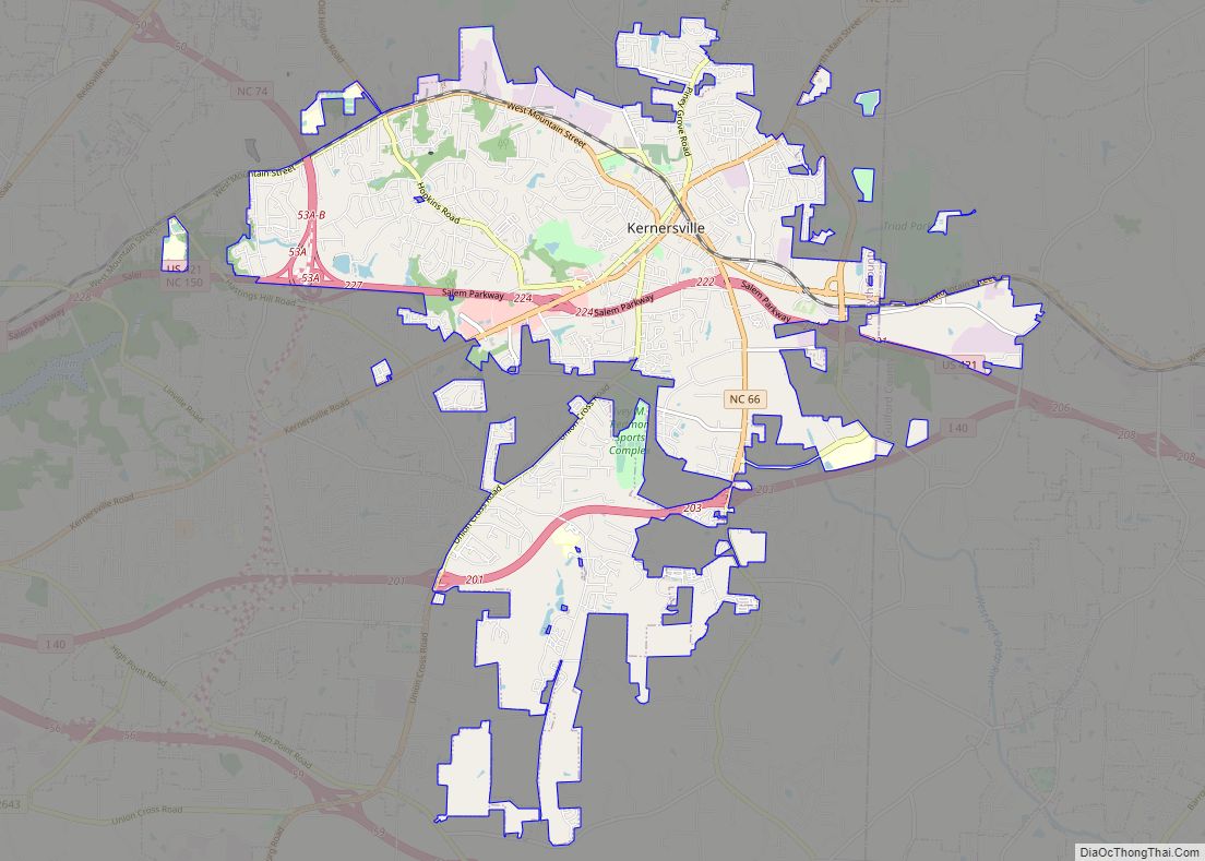
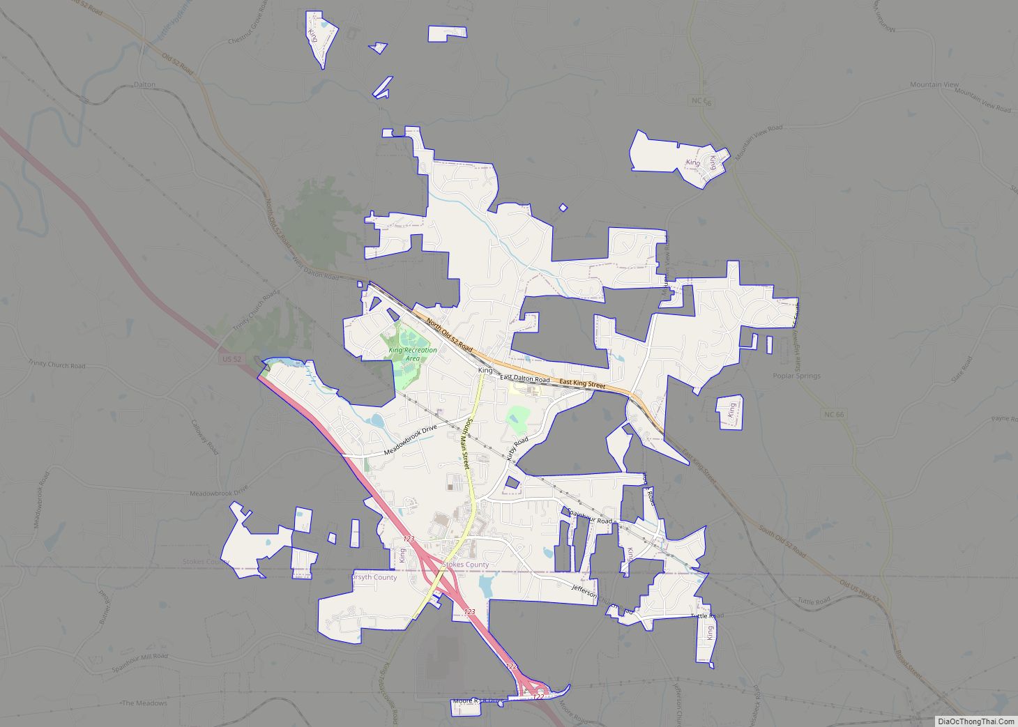
The northeast section of Forsyth County, including Belews Creek and parts of Rural Hall, Walkertown, and Kernersville, is drained by tributaries of the Dan River. A small portion of Kernersville is in the Cape Fear River basin. Most of the county is drained by tributaries of the Yadkin River, which forms the western boundary of the county. The lowest elevation in the county is 660 feet, on the Yadkin River at the southwest corner of the county. The highest is 1100 feet, at a point just off Jefferson Church Road on the outskirts of King, immediately south of the county line.
State and local protected areas/sites
- Cascades Preserve (part)
- Emily Allen Wildflower Preserve
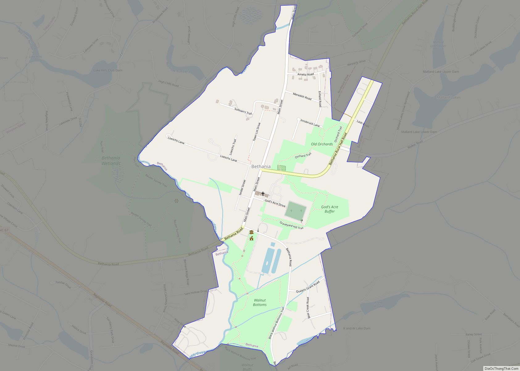
- Historic Bethabara Park
- Old Salem Museums & Gardens
- Shell-Shaped Shell Station
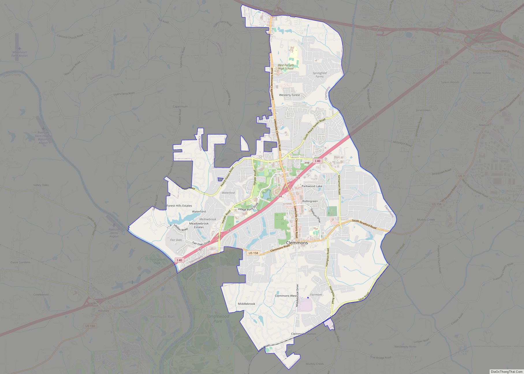
- Tanglewood Park
Major water bodies
- Abbotts Creek
- Belews Creek
- Belews Lake
- Beaver Dam Creek
- Brushy Creek
- Blanket Creek
- Buffalo Creek
- Crooked Run Creek
- Lick Creek
- Little Creek
- Little Yadkin River
- Mill Creek
- Muddy Creek
- Old Field Creek
- Reedy Fork
- Salem Creek
- Silas Creek
- South Fork Muddy Creek
- Yadkin River
Adjacent counties
- Stokes County – north
- Rockingham County – northeast
- Guilford County – east
- Davidson County – south
- Davie County – southwest
- Yadkin County – west
- Surry County – northwest
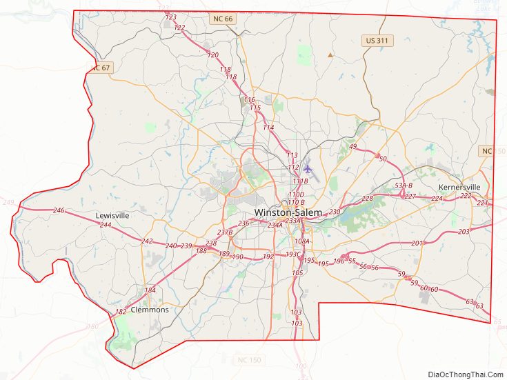
Major highways
- I-40
- I-74 / Future I-74 (Designated section from I-40 to county line with Guilford County)
- Future I-274 (Future Loop around Winston Salem)
- I-285
- Future I-685 (Concurrency with US 421)
- US 52
- US 158
- US 311
- US 421
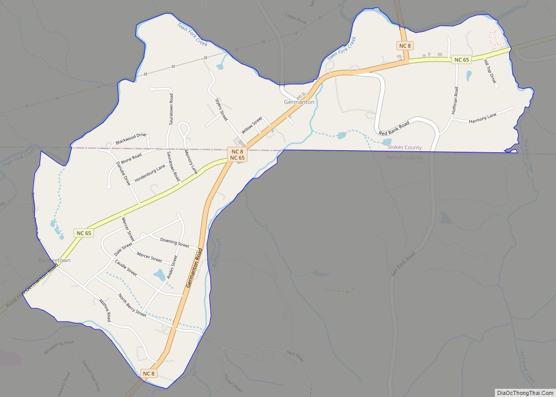
- NC 8
- NC 65
- NC 66
- NC 67
- NC 74 (Component highway for I-74)
- NC 109
- NC 150
- NC 192
- NC 452 (Future component highway for I-274)
Major infrastructure
- Amtrak Thruway (Winston-Salem)
- Smith Reynolds Airport
Forsyth County Topographic Map
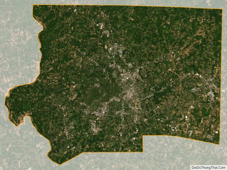
Forsyth County Satellite Map
Forsyth County Outline Map