Davidson County is a county located in the U.S. state of North Carolina. As of the 2020 census, the population was 168,930. Its county seat is Lexington, and its largest city is Thomasville.
Davidson County is included in the Winston-Salem, NC Metropolitan Statistical Area, which is also included in the Greensboro-Winston-Salem-High Point, NC Combined Statistical Area.
Parts of Davidson County are in the Yadkin Valley wine region.
| Name: | Davidson County |
|---|---|
| FIPS code: | 37-057 |
| State: | North Carolina |
| Founded: | 1822 |
| Named for: | William Lee Davidson |
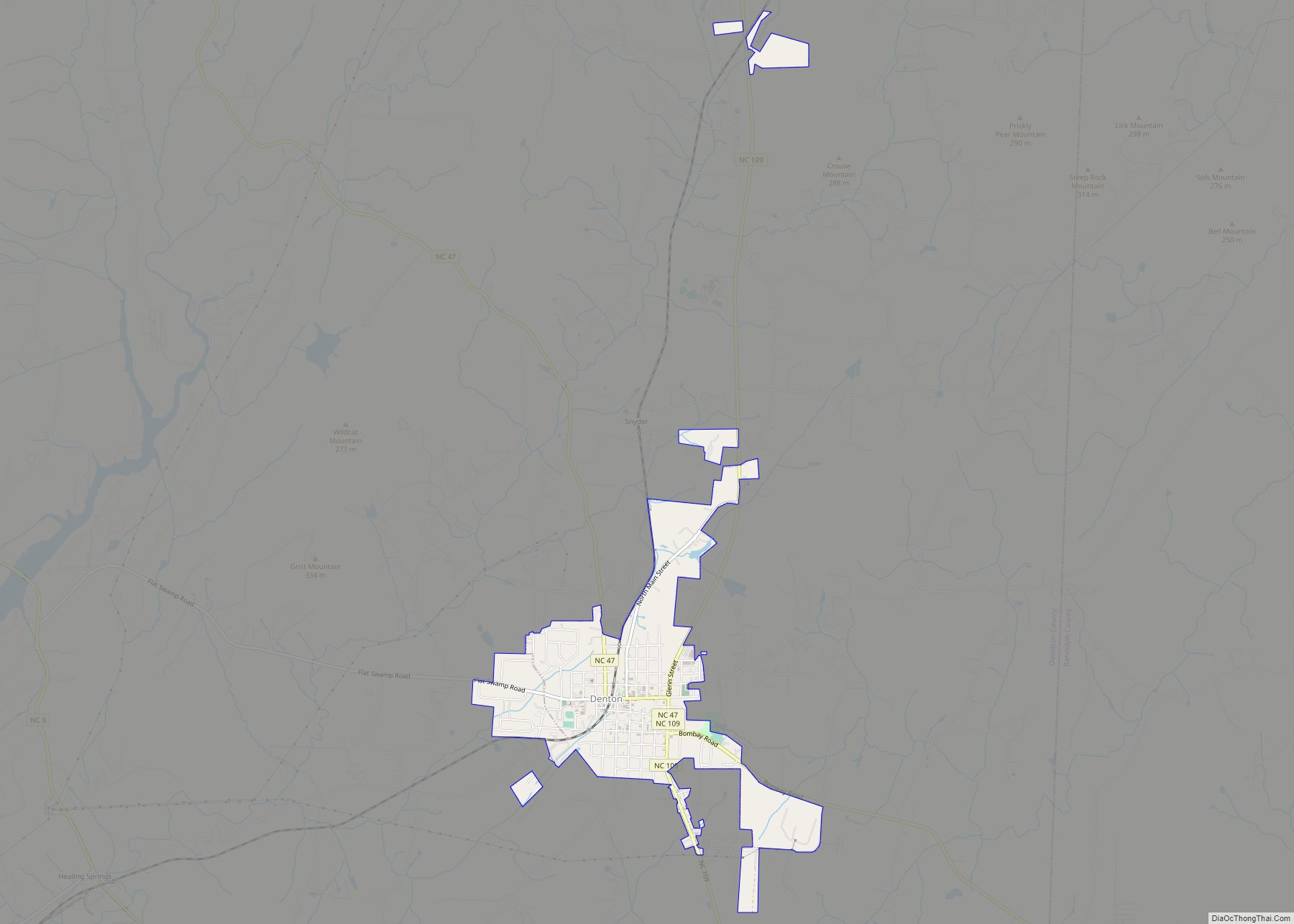
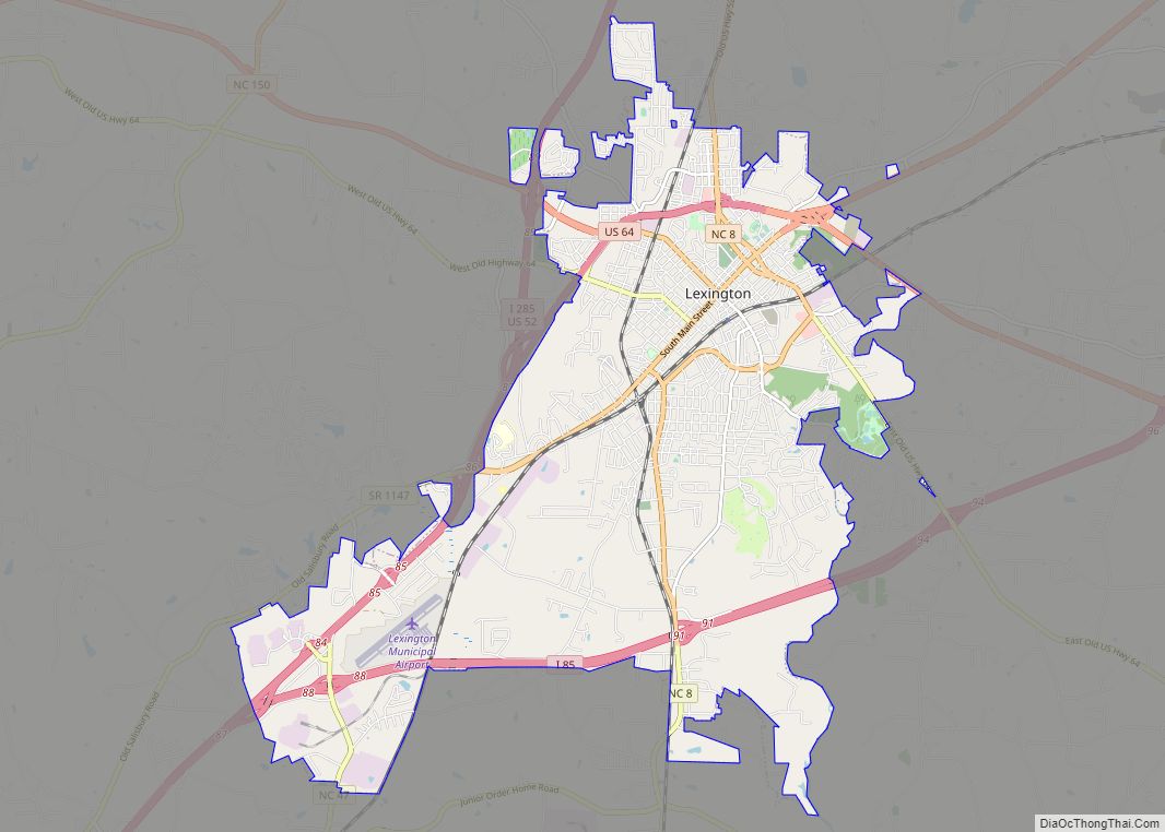
| Seat: | Lexington |
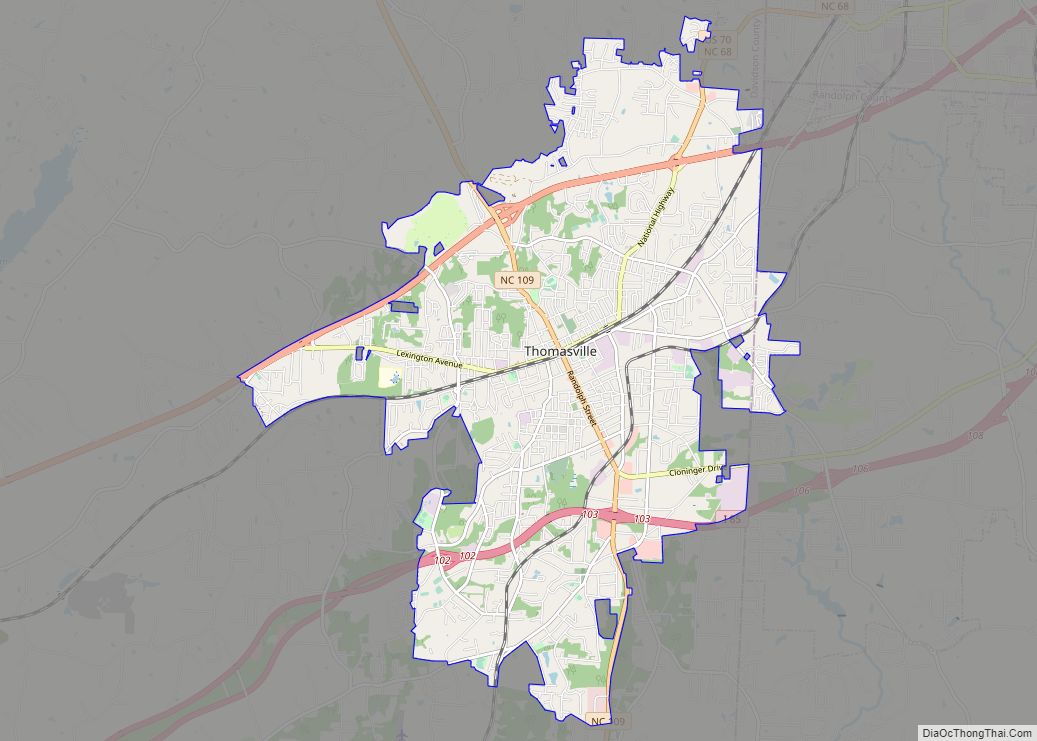
| Largest city: | Thomasville |
| Total Area: | 567 sq mi (1,470 km²) |
| Land Area: | 553 sq mi (1,430 km²) |
| Total Population: | 170,637 |
| Population Density: | 308.6/sq mi (119.2/km²) |
| Time zone: | UTC−5 (Eastern) |
| Summer Time Zone (DST): | UTC−4 (EDT) |
| Website: | www.co.davidson.nc.us |
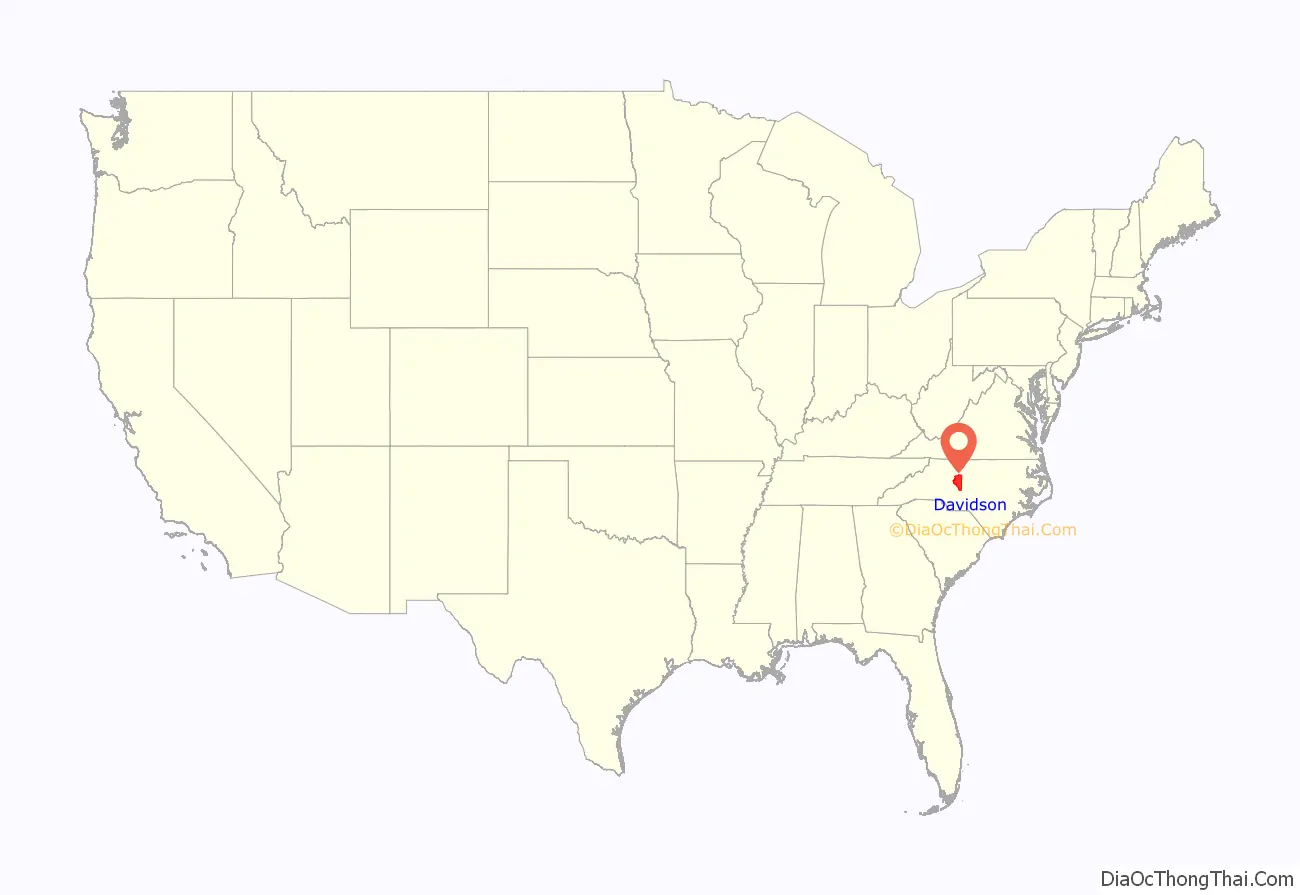
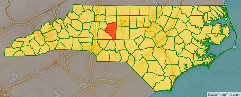
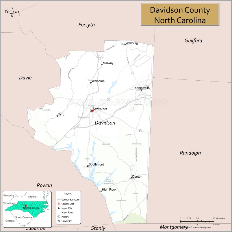
Davidson County location map. Where is Davidson County?
History
The original North Carolina county of this name was created in 1786 what was then the far western portion of North Carolina, with its county seat at Nashville and a territory covering most of what is now Middle Tennessee. When Tennessee was established as a separate state in 1796, this county became Davidson County, Tennessee.
The current North Carolina county was formed in 1822 from Rowan County. It was named after Brigadier General William Lee Davidson, an American Revolutionary War general killed at the Battle of Cowan’s Ford on the Catawba River in 1781.
In 1911, a new county called Piedmont County was proposed, with High Point as its county seat, to be created from Guilford, Davidson and Randolph Counties. Many people appeared at the Guilford County courthouse to oppose the plan, vowing to go to the state legislature to protest. The state legislature voted down the plan in February 1911.
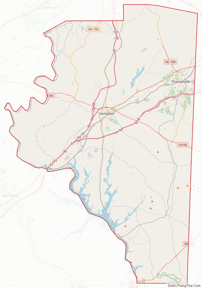
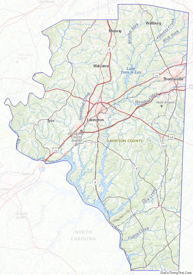
Davidson County Road Map
Geography
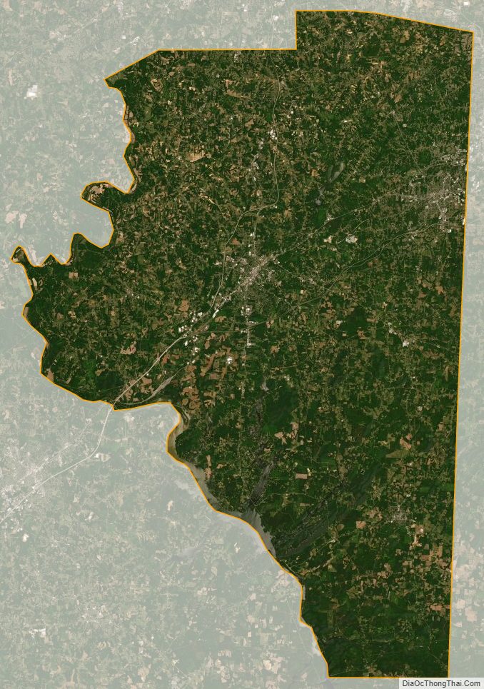
According to the U.S. Census Bureau, the county has a total area of 567 square miles (1,470 km), of which 553 square miles (1,430 km) is land and 14 square miles (36 km) (2.5%) is water.
Davidson County is located entirely within the Piedmont region of central North Carolina. The Piedmont consists of gently rolling terrain frequently broken by hills or shallow valleys formed by rivers and streams. An exception to this terrain are the Uwharrie Mountains in the county’s western and southwestern sections. The Uwharries are the oldest mountain range in North America, and at one time they rose to nearly 20,000 feet (6,100 m) above sea level. However, time has worn them down to little more than high hills; yet due to the relative flatness of the surrounding countryside they still rise from 250 to 500 feet (150 m) above their base. The highest point in the Uwharries – and the highest point in Davidson County – is High Rock Mountain in the county’s southwestern corner. It has an elevation of 1,119 feet (341 m) above sea level.
National protected area
- Uwharrie National Forest (part)
State and local protected areas
- Boone’s Cave Park
- Lake Thom-A-Lex Park
Major water bodies
- Abbotts Creek
- Badin Lake
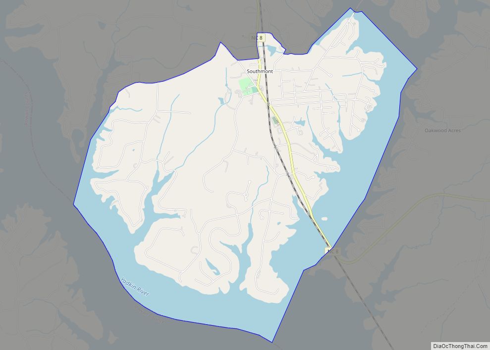
- High Rock Lake
- Lake Thom-A-Lex
- Tuckertown Reservoir
- Yadkin River
Adjacent counties
- Forsyth County – north
- Guilford County – northeast
- Randolph County – east
- Montgomery County – south
- Stanly County – southwest
- Rowan County – southwest
- Davie County – west
Major highways
- I-85
- I-285
- I-85 BL
- US 29
- US 52
- US 64
- US 70
- NC 8
- NC 47
- NC 49
- NC 62
- NC 68
- NC 109
- NC 150
Major infrastructure
- Davidson County Airport
- Lexington Station
Davidson County Topographic Map
Davidson County Satellite Map
Davidson County Outline Map