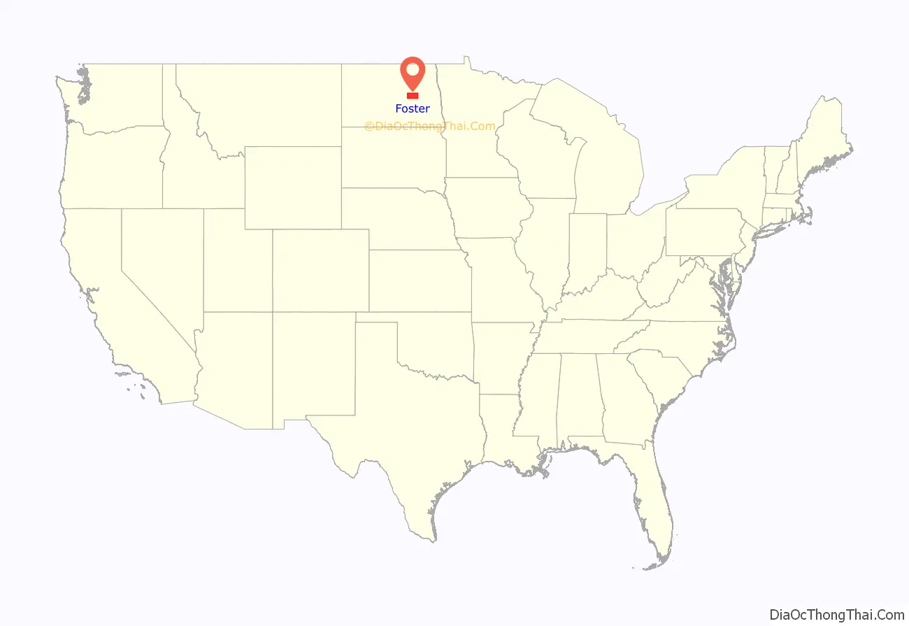
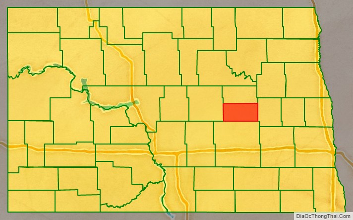
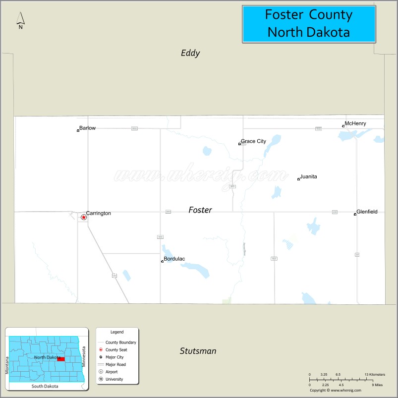
Foster County is a county in the U.S. state of North Dakota. As of the 2020 census, the population was 3,397. Its county seat is Carrington.
| Name: | Foster County |
|---|---|
| FIPS code: | 38-031 |
| State: | North Dakota |
| Founded: | 1873 |
| Seat: | Carrington |
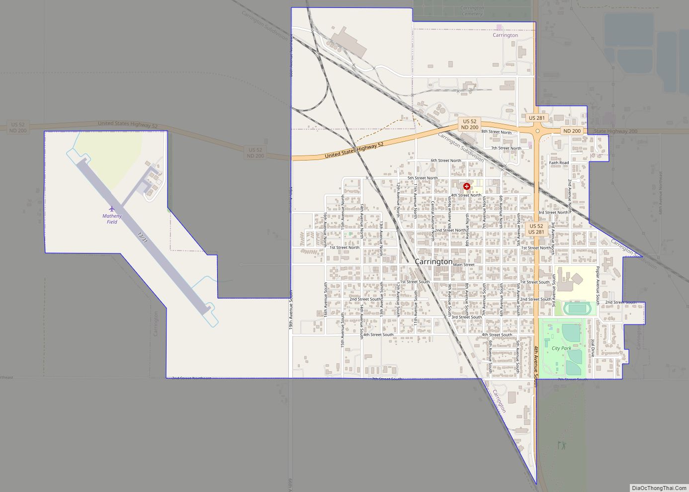
| Largest city: | Carrington |
| Total Area: | 647 sq mi (1,680 km²) |
| Land Area: | 635 sq mi (1,640 km²) |
| Total Population: | 3,397 |
| Population Density: | 5.3/sq mi (2.0/km²) |
| Time zone: | UTC−6 (Central) |
| Summer Time Zone (DST): | UTC−5 (CDT) |
| Website: | www.fostercounty.com |
Foster County location map. Where is Foster County?
History
The Dakota Territory legislature created the county on January 4, 1873, with lands partitioned from Pembina County. It was named for George I. Foster, a pioneer and member of the Territorial legislature. Its governing structure was not completed at that time, and it was not attached to another county for administrative purposes. Its boundaries were altered in 1881, two times in 1883, and finally in 1885 its boundary was set at the present configuration. Its county organization was effected on October 11, 1883.
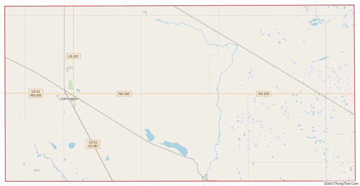
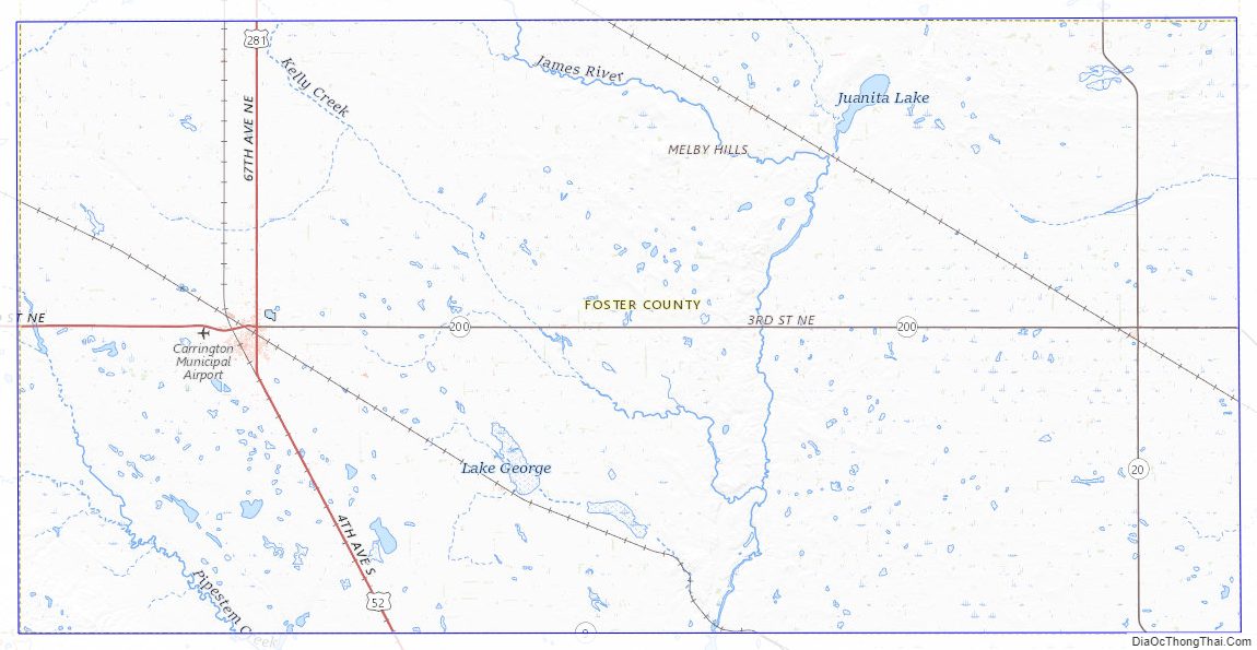
Foster County Road Map
Geography
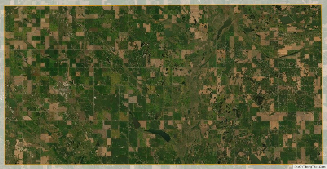
The James River flows south-southeastward through the central part of Foster County. The county terrain consists of low rolling hills, mostly devoted to agriculture, its eastern portion dotted with lakes and ponds. The terrain slopes to the south and east; its highest point is at its southwestern corner, at 1,942′ (592m) ASL. The county has a total area of 647 square miles (1,680 km), of which 635 square miles (1,640 km) is land and 11 square miles (28 km) (1.8%) is water. It is the second-smallest county in North Dakota by area.
Major highways
- U.S. Highway 52
- U.S. Highway 281
- North Dakota Highway 9
- North Dakota Highway 20
- North Dakota Highway 200
Adjacent counties
- Eddy County – north
- Griggs County – east
- Stutsman County – south
- Wells County – west
National protected area
- Arrowwood National Wildlife Refuge (part)
Lakes
- Blue Cloud Lake
- Jack Lake
- Juanita Lake
- Lake Bonita
- Lake George
- Russell Lake
Foster County Topographic Map
Foster County Satellite Map
Foster County Outline Map