Geary County (county code GE) is a county located in the U.S. state of Kansas. As of the 2020 census, the county population was 36,739. Its county seat and most populous city is Junction City. The county is named in honor of Governor John W. Geary.
| Name: | Geary County |
|---|---|
| FIPS code: | 20-061 |
| State: | Kansas |
| Founded: | 1855 |
| Named for: | John W. Geary |
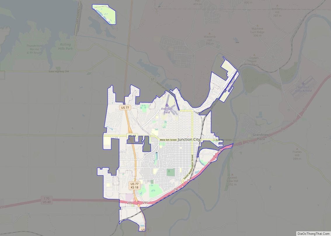
| Seat: | Junction City |
| Largest city: | Junction City |
| Total Area: | 404 sq mi (1,050 km²) |
| Land Area: | 385 sq mi (1,000 km²) |
| Total Population: | 36,739 |
| Population Density: | 95.4/sq mi (36.8/km²) |
| Time zone: | UTC−6 (Central) |
| Summer Time Zone (DST): | UTC−5 (CDT) |
| Website: | gearycounty.org |
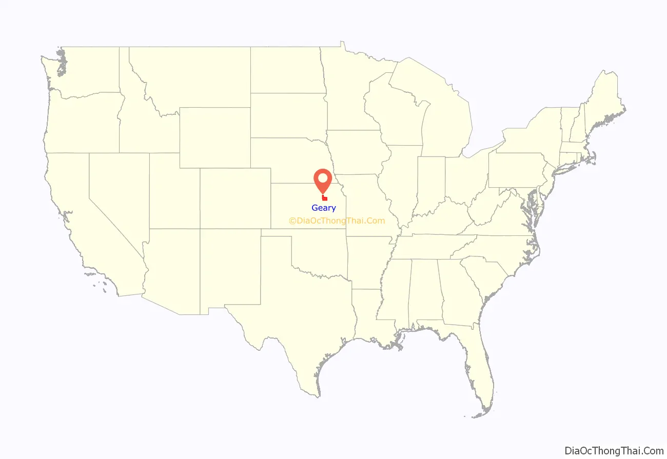
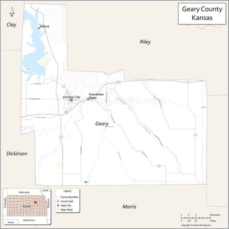
Geary County location map. Where is Geary County?
History
Early history
For many millennia, the Great Plains of North America was inhabited by nomadic Native Americans. From the 16th century to 18th century, the Kingdom of France claimed ownership of large parts of North America. In 1762, after the French and Indian War, France secretly ceded New France to Spain, per the Treaty of Fontainebleau.
19th century
In 1802, Spain returned most of the land to France, but keeping title to about 7,500 square miles. In 1803, most of the land for modern day Kansas was acquired by the United States from France as part of the 828,000 square mile Louisiana Purchase for 2.83 cents per acre.
In 1854, the Kansas Territory was organized, then in 1861 Kansas became the 34th U.S. state. Geary County was formed on August 30, 1855, as an original county from open, free territory. It was among the first 33 counties established by the territory government.
Geary County was originally named Davis County in 1855 after Jefferson Davis (then the United States Secretary of War). During the American Civil War, when Davis became president of the Confederacy, attempts were made to change the county’s name, but both failed. Federal and state census records show it as Davis County from 1860 through 1885. In 1888 the county was renamed in honor of John W. Geary, an early Governor of the Kansas Territory.
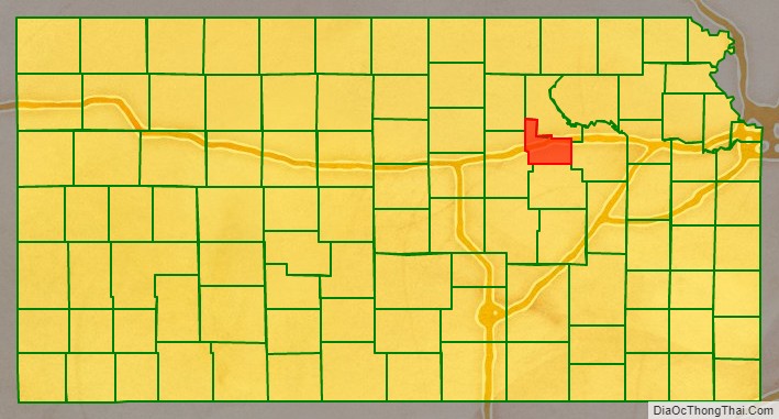
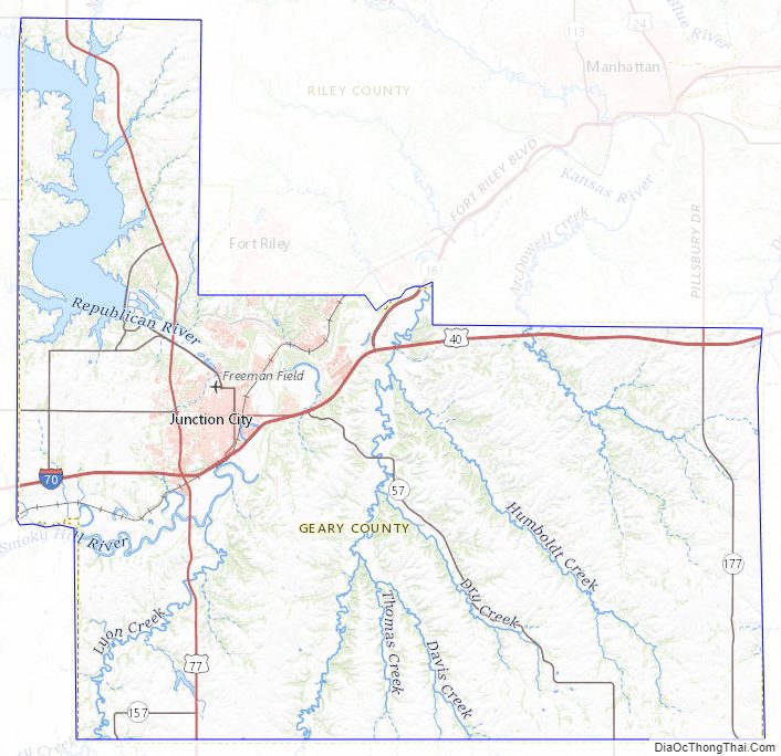
Geary County Road Map
Geography
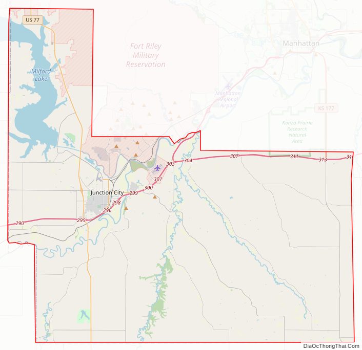
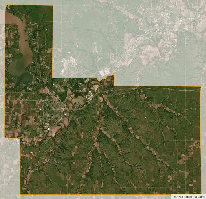
According to the U.S. Census Bureau, the county has a total area of 404 square miles (1,050 km), of which 385 square miles (1,000 km) is land and 20 square miles (52 km) (4.9%) is water. It is the second-smallest county in Kansas by land area and third-smallest by total area.
Adjacent counties
- Riley County (north)
- Wabaunsee County (east)
- Morris County (south)
- Dickinson County (west)
- Clay County (northwest)
Geary County Topographic Map
Geary County Satellite Map
Geary County Outline Map