Junction City is a city in and the county seat of Geary County, Kansas, United States. As of the 2020 census, the population of the city was 22,932. Fort Riley, a major U.S. Army post, is nearby.
| Name: | Junction City city |
|---|---|
| LSAD Code: | 25 |
| LSAD Description: | city (suffix) |
| State: | Kansas |
| County: | Geary County |
| Elevation: | 1,106 ft (337 m) |
| Total Area: | 11.21 sq mi (29.02 km²) |
| Land Area: | 11.11 sq mi (28.77 km²) |
| Water Area: | 0.10 sq mi (0.25 km²) |
| Total Population: | 22,932 |
| Population Density: | 2,000/sq mi (790/km²) |
| ZIP code: | 66441-66442 |
| Area code: | 785 |
| FIPS code: | 2035750 |
| Website: | junctioncity-ks.gov |
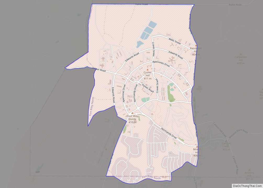
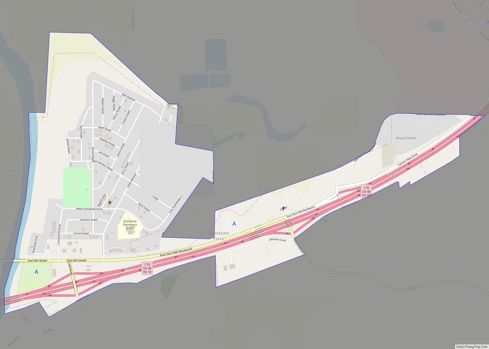
Online Interactive Map
Click on ![]() to view map in "full screen" mode.
to view map in "full screen" mode.
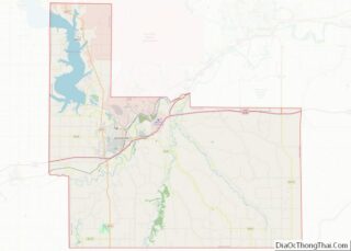
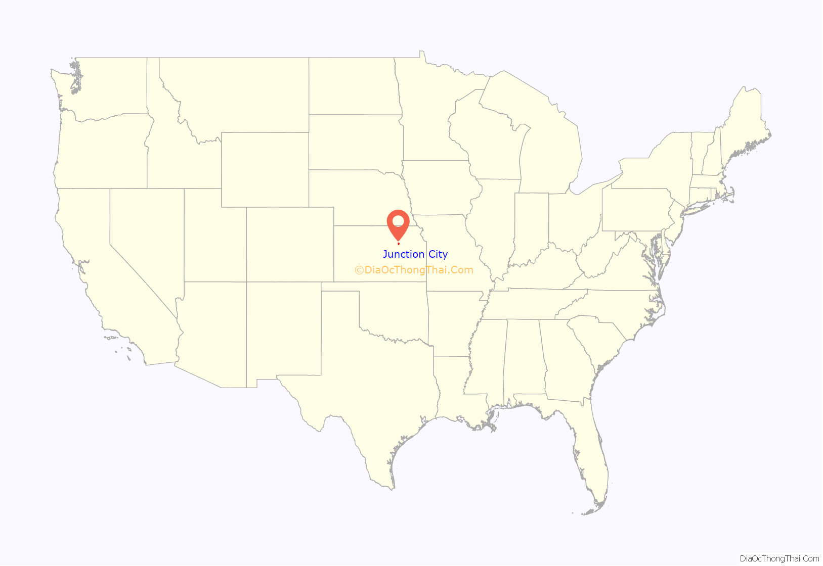
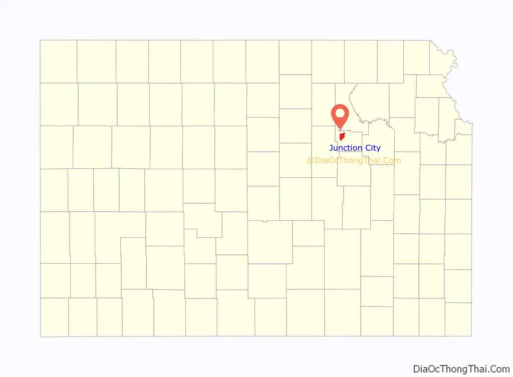
Junction City location map. Where is Junction City city?
History
Junction City is so named from its position at the confluence of the Smoky Hill and Republican rivers, which forms the Kansas River.
In 1854, Andrew J. Mead of New York of the Cincinnati-Manhattan Company, Free Staters connected to the Massachusetts Emigrant Aid Company planned a community there called Manhattan (there was also a discussion to call it New Cincinnati). When the steamship Hartford delivering the immigrants could not reach the community because of low water on the Kansas River, the Free Staters settled 20 miles east in what today is Manhattan, Kansas. The community was renamed Millard City for Captain Millard of the Hartford on October 3, 1855. It was renamed briefly Humboldt in 1857 by local farmers and renamed again later that year to Junction City. It was formally incorporated in 1859.
In 1923, John R. Brinkley established radio station KFKB (which adopted the slogan ‘’Kansas First, Kansas Best’’) in nearby Milford, Kansas, using a 1 kW transmitter. It was one of the first radio stations in Kansas. Brinkley used the station to espouse his belief that goat testicles could be implanted in men to enhance their virility.
Among Junction City’s residents is film director Kevin Wilmott, whose movies, including Ninth Street, are set in Junction City. Ninth Street specifically refers to a bawdy area of the community that was frequented by Fort Riley soldiers in the 1960s. In the 1980s a major initiative was undertaken to clean up the Ninth St. area.
Timothy McVeigh rented the Ryder truck he used in the Oklahoma City bombing from an auto body shop in Junction City.
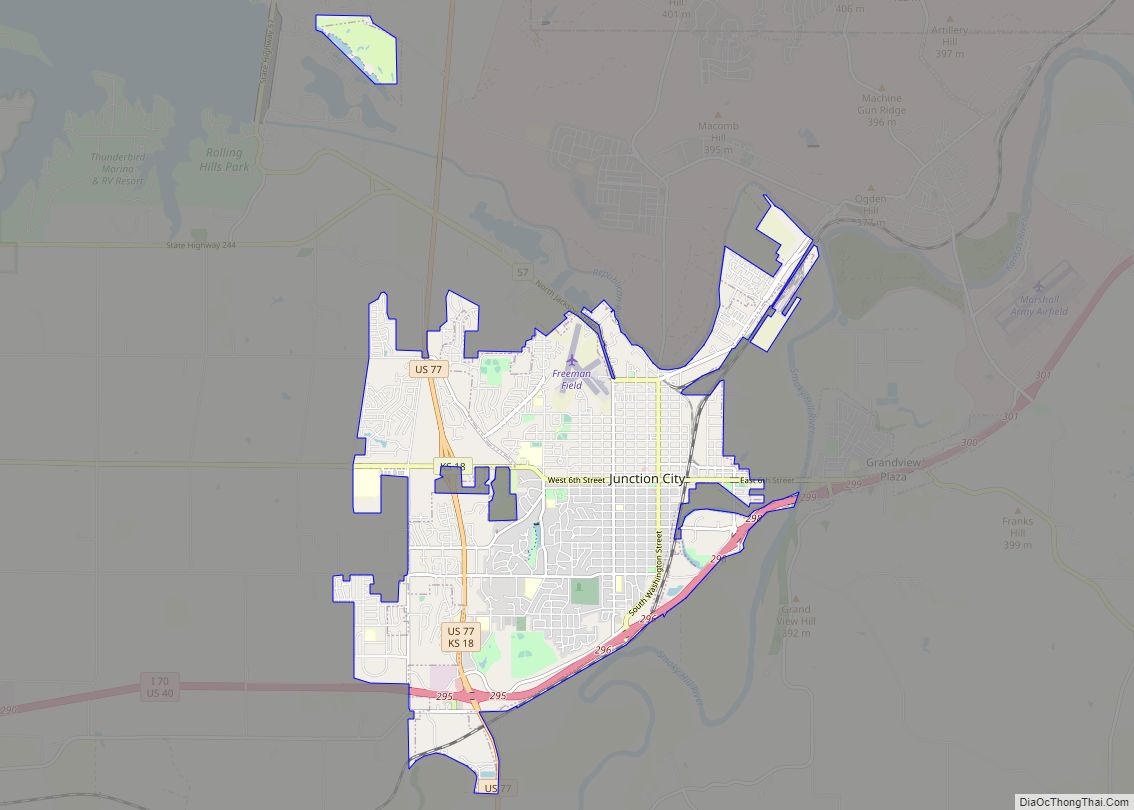
Junction City Road Map
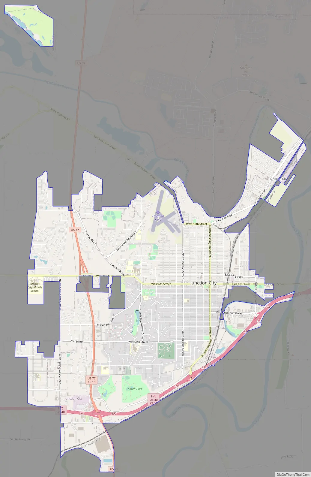
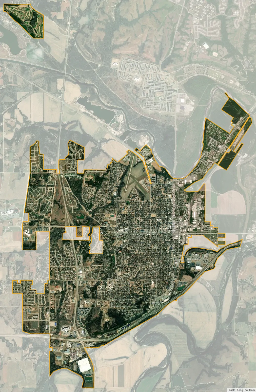
Junction City city Satellite Map
Geography
According to the United States Census Bureau, the city has a total area of 12.22 square miles (31.65 km), of which 12.15 square miles (31.47 km) is land and 0.07 square miles (0.18 km) is water.
See also
Map of Kansas State and its subdivision:- Allen
- Anderson
- Atchison
- Barber
- Barton
- Bourbon
- Brown
- Butler
- Chase
- Chautauqua
- Cherokee
- Cheyenne
- Clark
- Clay
- Cloud
- Coffey
- Comanche
- Cowley
- Crawford
- Decatur
- Dickinson
- Doniphan
- Douglas
- Edwards
- Elk
- Ellis
- Ellsworth
- Finney
- Ford
- Franklin
- Geary
- Gove
- Graham
- Grant
- Gray
- Greeley
- Greenwood
- Hamilton
- Harper
- Harvey
- Haskell
- Hodgeman
- Jackson
- Jefferson
- Jewell
- Johnson
- Kearny
- Kingman
- Kiowa
- Labette
- Lane
- Leavenworth
- Lincoln
- Linn
- Logan
- Lyon
- Marion
- Marshall
- McPherson
- Meade
- Miami
- Mitchell
- Montgomery
- Morris
- Morton
- Nemaha
- Neosho
- Ness
- Norton
- Osage
- Osborne
- Ottawa
- Pawnee
- Phillips
- Pottawatomie
- Pratt
- Rawlins
- Reno
- Republic
- Rice
- Riley
- Rooks
- Rush
- Russell
- Saline
- Scott
- Sedgwick
- Seward
- Shawnee
- Sheridan
- Sherman
- Smith
- Stafford
- Stanton
- Stevens
- Sumner
- Thomas
- Trego
- Wabaunsee
- Wallace
- Washington
- Wichita
- Wilson
- Woodson
- Wyandotte
- Alabama
- Alaska
- Arizona
- Arkansas
- California
- Colorado
- Connecticut
- Delaware
- District of Columbia
- Florida
- Georgia
- Hawaii
- Idaho
- Illinois
- Indiana
- Iowa
- Kansas
- Kentucky
- Louisiana
- Maine
- Maryland
- Massachusetts
- Michigan
- Minnesota
- Mississippi
- Missouri
- Montana
- Nebraska
- Nevada
- New Hampshire
- New Jersey
- New Mexico
- New York
- North Carolina
- North Dakota
- Ohio
- Oklahoma
- Oregon
- Pennsylvania
- Rhode Island
- South Carolina
- South Dakota
- Tennessee
- Texas
- Utah
- Vermont
- Virginia
- Washington
- West Virginia
- Wisconsin
- Wyoming