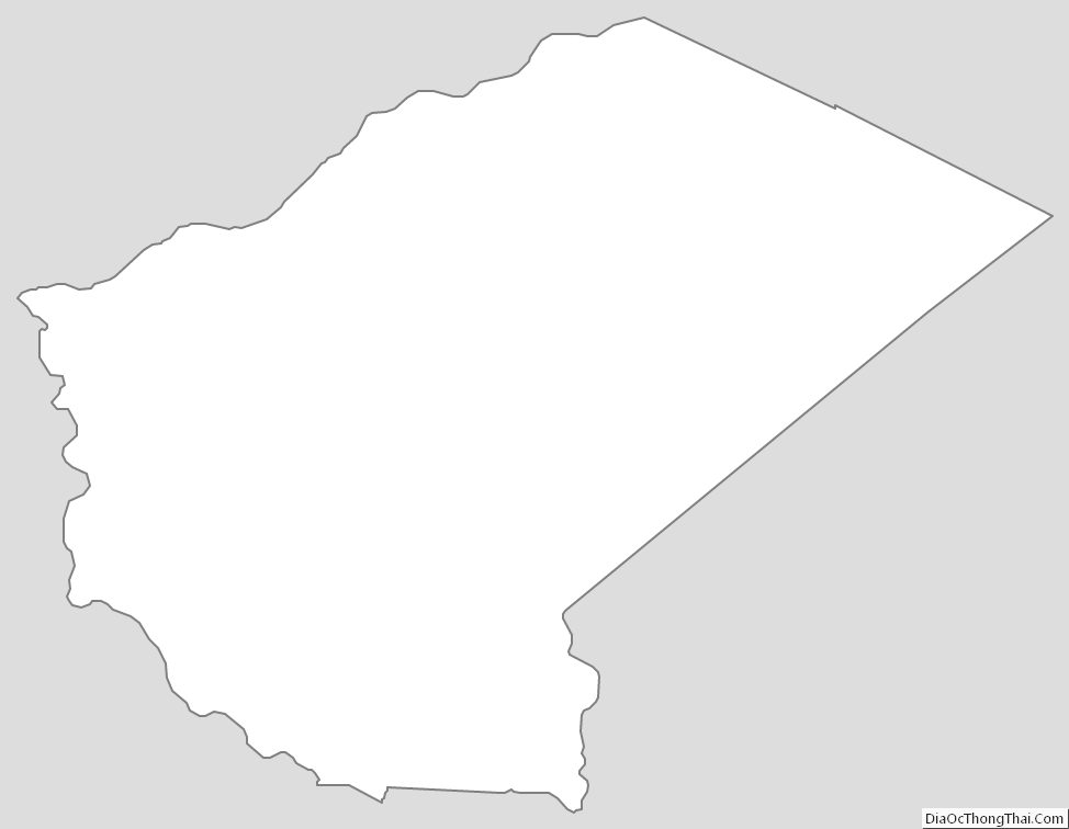
Glascock County is a county located in the U.S. state of Georgia. As of the 2020 census, the population was 2,884, making it the fourth-least populous county in Georgia. The county seat is Gibson. The county was created on December 19, 1857.
| Name: | Glascock County |
|---|---|
| FIPS code: | 13-125 |
| State: | Georgia |
| Founded: | 1857 |
| Named for: | Thomas Glascock |
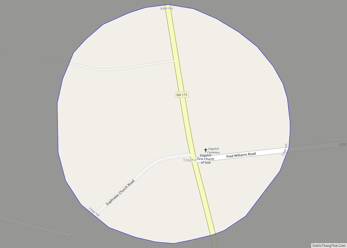
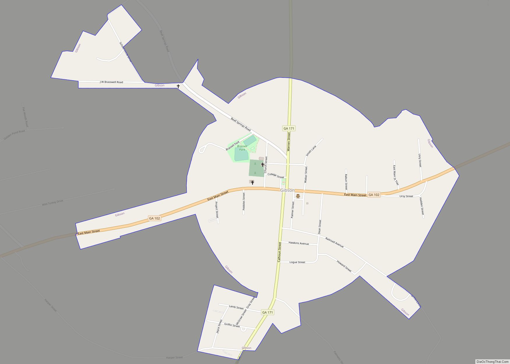
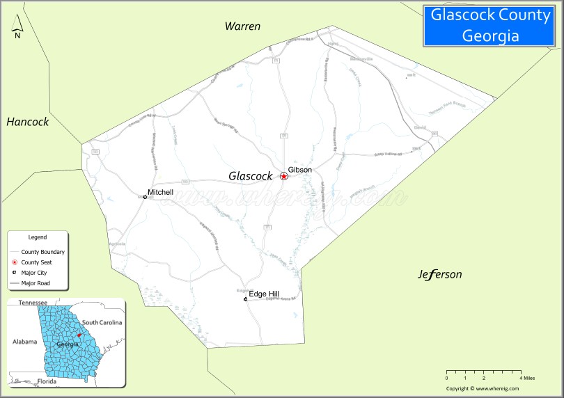
| Seat: | Gibson |
| Largest city: | Gibson |
| Total Area: | 144 sq mi (370 km²) |
| Land Area: | 144 sq mi (370 km²) |
| Total Population: | 2,884 |
| Population Density: | 20/sq mi (8/km²) |
| Time zone: | UTC−5 (Eastern) |
| Summer Time Zone (DST): | UTC−4 (EDT) |
| Website: | www.glascockcountyga.com |
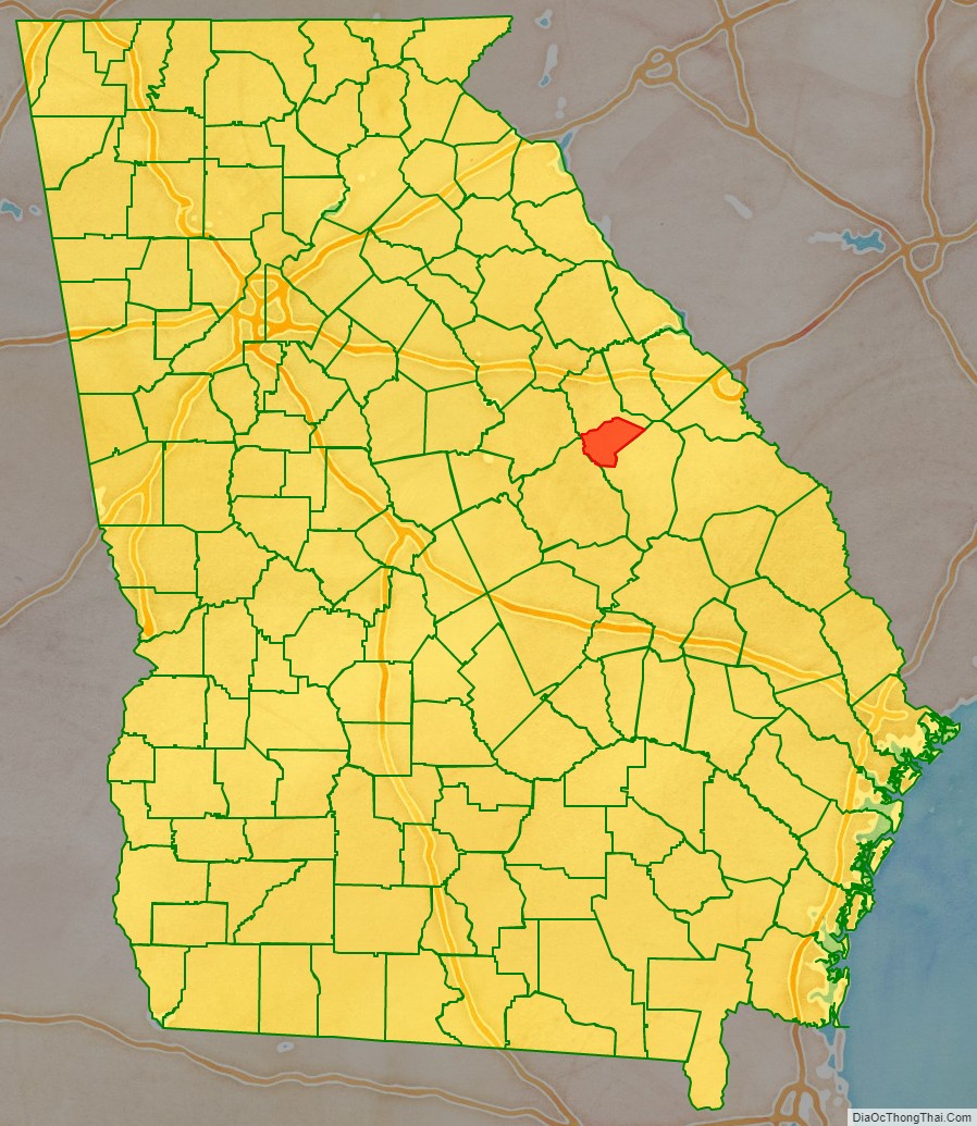
Glascock County location map. Where is Glascock County?

History
The county is named after Thomas Glascock, a soldier in the War of 1812, general in the First Seminole War and U.S. representative.
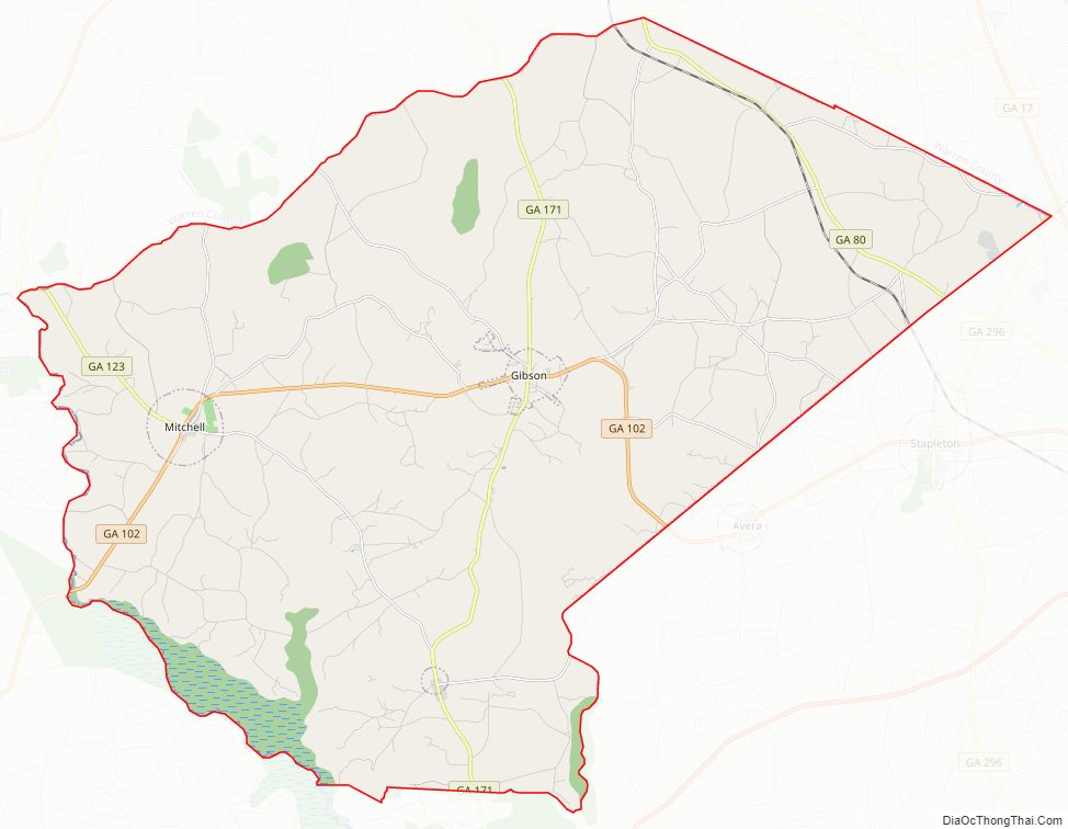
Glascock County Road Map
Geography
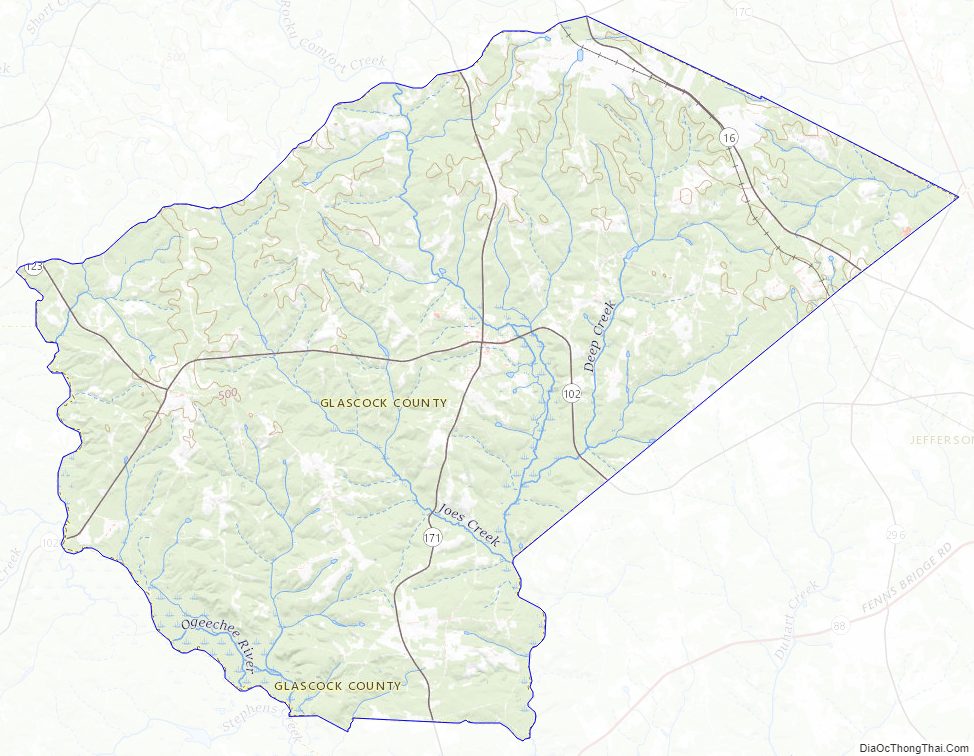
According to the U.S. Census Bureau, the county has a total area of 144 square miles (370 km), of which 144 square miles (370 km) is land and 0.7 square miles (1.8 km) (0.5%) is water. It is the fourth-smallest county in Georgia by area.
The vast majority of Glascock County is located in the Upper Ogeechee River sub-basin of the Ogeechee River basin, with just the very northeastern corner of the county, northeast of State Route 80, located in the Brier Creek sub-basin of the Savannah River basin.
Major highways
- State Route 80
- State Route 102
- State Route 123
- State Route 171
Adjacent counties
- Warren County – north
- Jefferson County – southeast
- Hancock County – northwest
- Washington County – southwest
Glascock County Topographic Map
Glascock County Satellite Map

Glascock County Outline Map