Mitchell is a town in Glascock County, Georgia, United States. The population was 199 at the 2010 census. Mitchell is home to the Mitchell Depot Historical Museum.
| Name: | Mitchell town |
|---|---|
| LSAD Code: | 43 |
| LSAD Description: | town (suffix) |
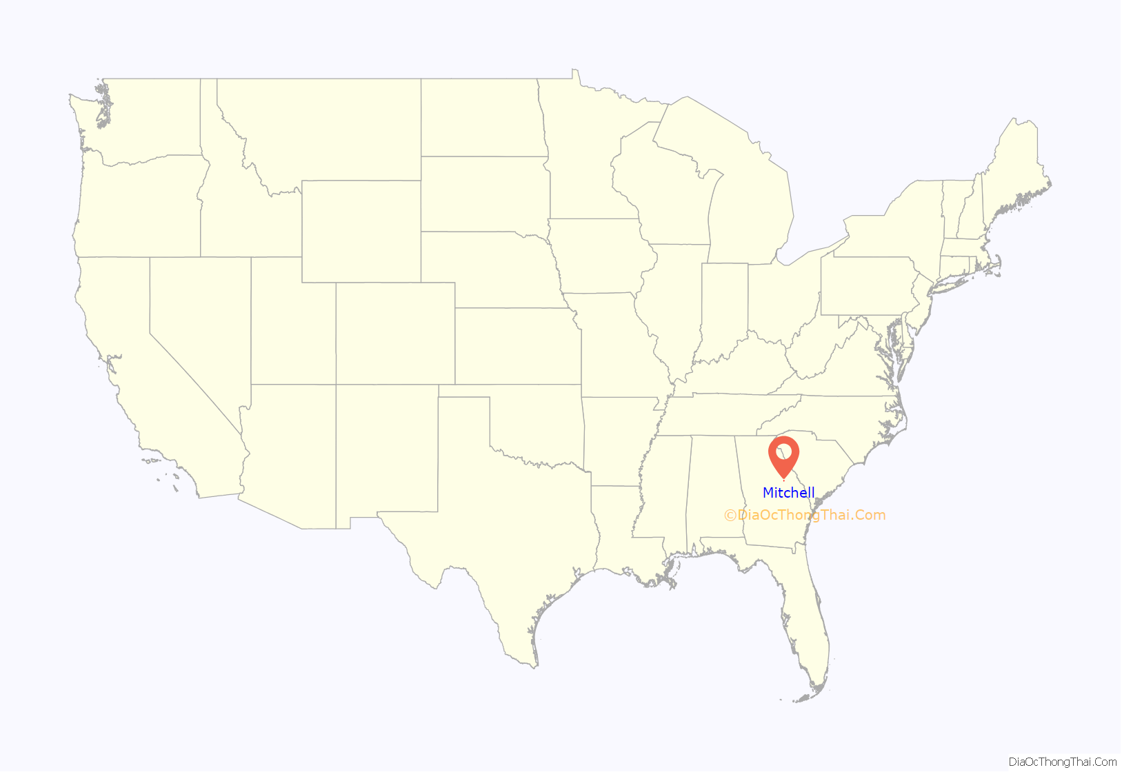
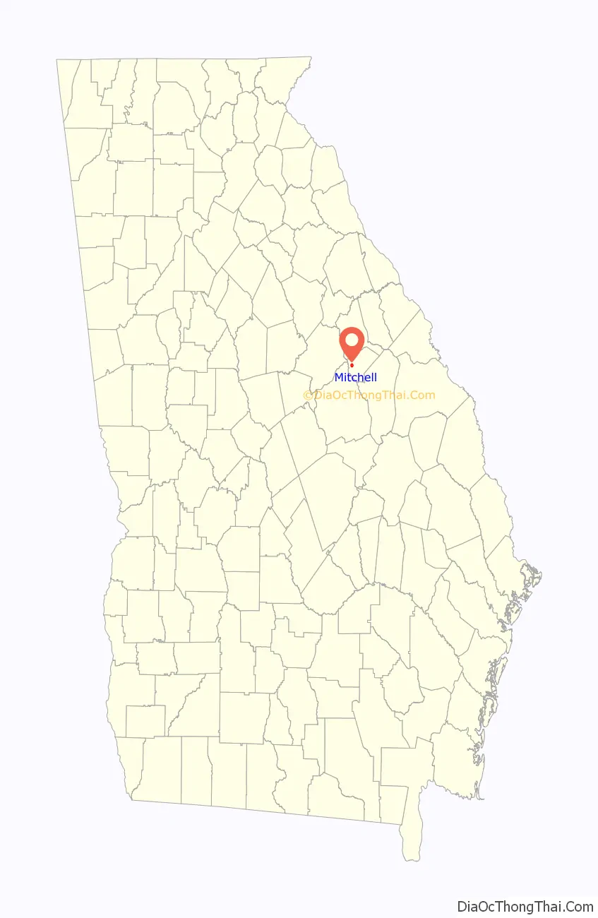
| State: | Georgia |
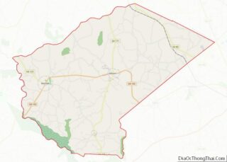
| County: | Glascock County |
| Elevation: | 535 ft (163 m) |
| Total Area: | 1.48 sq mi (3.85 km²) |
| Land Area: | 1.48 sq mi (3.83 km²) |
| Water Area: | 0.01 sq mi (0.02 km²) |
| Total Population: | 153 |
| Population Density: | 103.52/sq mi (39.96/km²) |
| ZIP code: | 30820 |
| Area code: | 706 |
| FIPS code: | 1351968 |
| GNISfeature ID: | 0318336 |
| Website: | mitchellgeorgia.com |
Online Interactive Map
Click on ![]() to view map in "full screen" mode.
to view map in "full screen" mode.
Mitchell location map. Where is Mitchell town?
History
Mitchell had its start in the 1880s, when the railroad was extended to that point. The community was named after R. M. Mitchell, a railroad official.
The Georgia General Assembly incorporated Mitchell as a town in 1896.
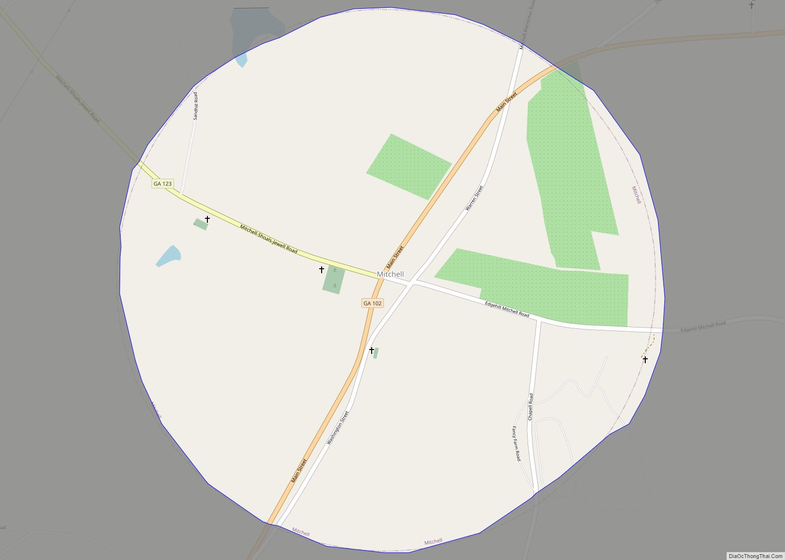
Mitchell Road Map

Mitchell city Satellite Map

Geography
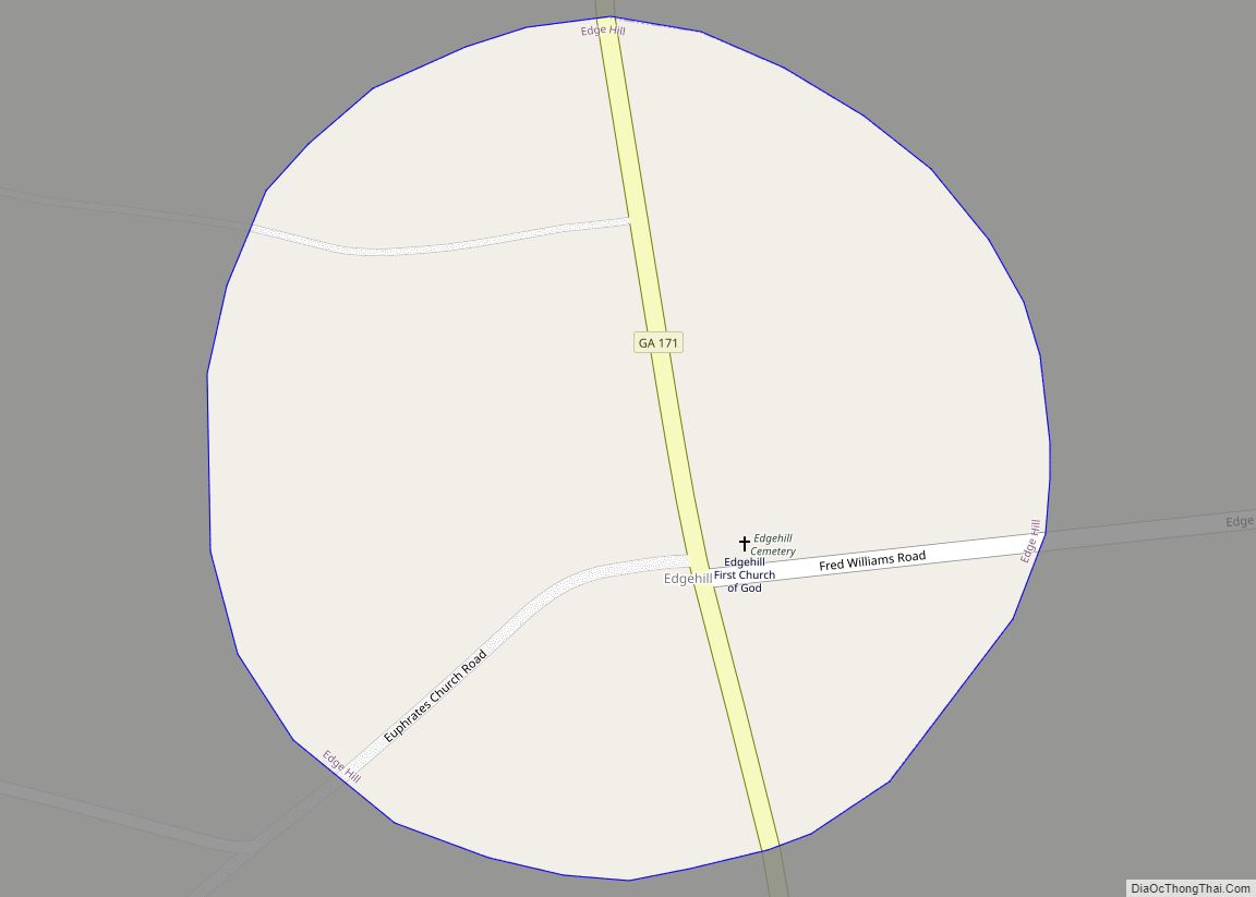
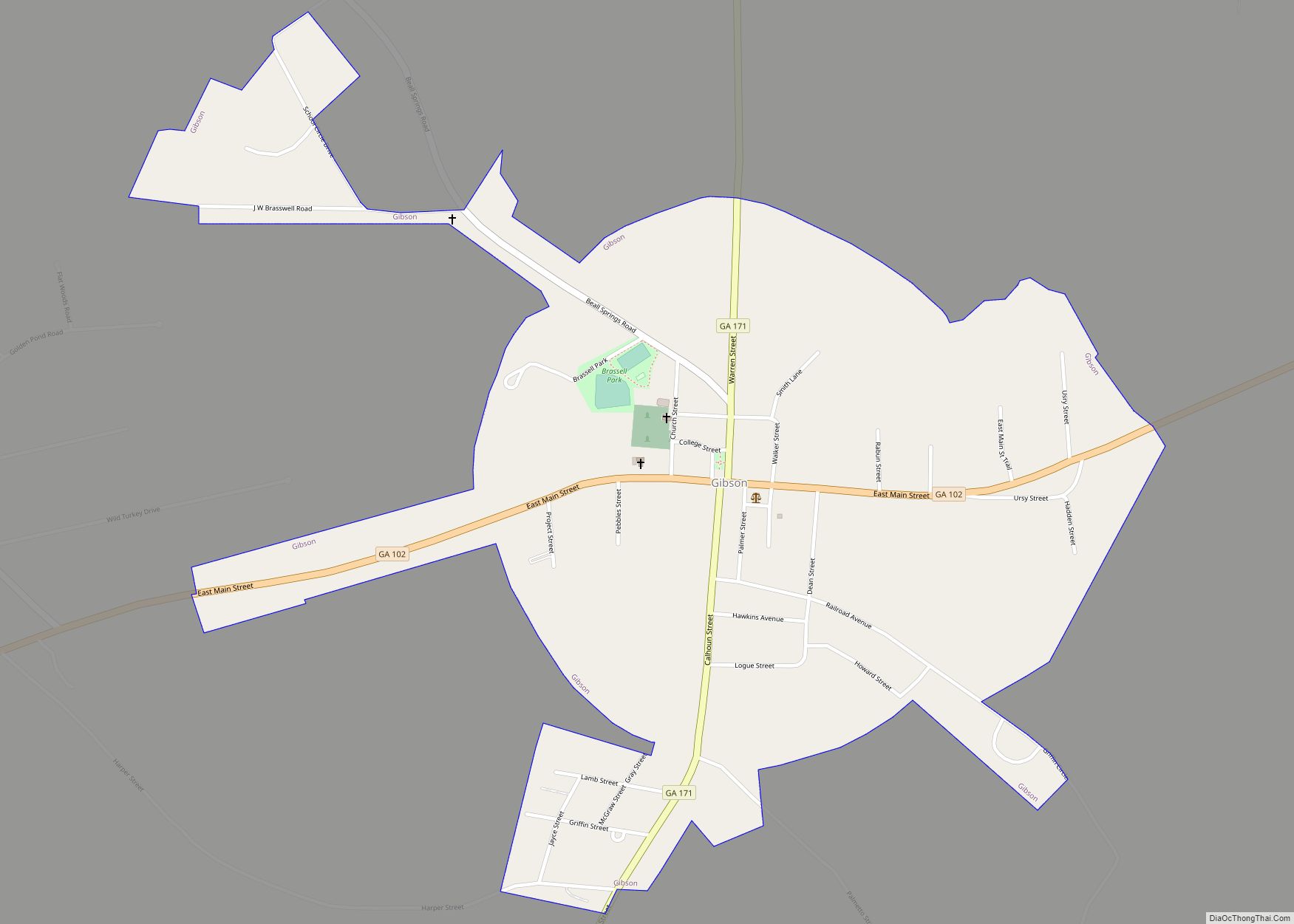
Mitchell is located in western Glascock County at the intersection of State Routes 102 and 123. SR 102 leads east 6 miles (10 km) to Gibson, the Glascock County seat, and southwest 19 miles (31 km) to Sandersville, while SR 123 leads northwest 18 miles (29 km) to Sparta.
According to the United States Census Bureau, the town of Mitchell has a total area of 1.5 square miles (3.8 km), of which 0.01 square miles (0.02 km), or 0.42%, is water. It is located 2 miles (3 km) east of the Ogeechee River.
See also
Map of Georgia State and its subdivision:- Appling
- Atkinson
- Bacon
- Baker
- Baldwin
- Banks
- Barrow
- Bartow
- Ben Hill
- Berrien
- Bibb
- Bleckley
- Brantley
- Brooks
- Bryan
- Bulloch
- Burke
- Butts
- Calhoun
- Camden
- Candler
- Carroll
- Catoosa
- Charlton
- Chatham
- Chattahoochee
- Chattooga
- Cherokee
- Clarke
- Clay
- Clayton
- Clinch
- Cobb
- Coffee
- Colquitt
- Columbia
- Cook
- Coweta
- Crawford
- Crisp
- Dade
- Dawson
- Decatur
- DeKalb
- Dodge
- Dooly
- Dougherty
- Douglas
- Early
- Echols
- Effingham
- Elbert
- Emanuel
- Evans
- Fannin
- Fayette
- Floyd
- Forsyth
- Franklin
- Fulton
- Gilmer
- Glascock
- Glynn
- Gordon
- Grady
- Greene
- Gwinnett
- Habersham
- Hall
- Hancock
- Haralson
- Harris
- Hart
- Heard
- Henry
- Houston
- Irwin
- Jackson
- Jasper
- Jeff Davis
- Jefferson
- Jenkins
- Johnson
- Jones
- Lamar
- Lanier
- Laurens
- Lee
- Liberty
- Lincoln
- Long
- Lowndes
- Lumpkin
- Macon
- Madison
- Marion
- McDuffie
- McIntosh
- Meriwether
- Miller
- Mitchell
- Monroe
- Montgomery
- Morgan
- Murray
- Muscogee
- Newton
- Oconee
- Oglethorpe
- Paulding
- Peach
- Pickens
- Pierce
- Pike
- Polk
- Pulaski
- Putnam
- Quitman
- Rabun
- Randolph
- Richmond
- Rockdale
- Schley
- Screven
- Seminole
- Spalding
- Stephens
- Stewart
- Sumter
- Talbot
- Taliaferro
- Tattnall
- Taylor
- Telfair
- Terrell
- Thomas
- Tift
- Toombs
- Towns
- Treutlen
- Troup
- Turner
- Twiggs
- Union
- Upson
- Walker
- Walton
- Ware
- Warren
- Washington
- Wayne
- Webster
- Wheeler
- White
- Whitfield
- Wilcox
- Wilkes
- Wilkinson
- Worth
- Alabama
- Alaska
- Arizona
- Arkansas
- California
- Colorado
- Connecticut
- Delaware
- District of Columbia
- Florida
- Georgia
- Hawaii
- Idaho
- Illinois
- Indiana
- Iowa
- Kansas
- Kentucky
- Louisiana
- Maine
- Maryland
- Massachusetts
- Michigan
- Minnesota
- Mississippi
- Missouri
- Montana
- Nebraska
- Nevada
- New Hampshire
- New Jersey
- New Mexico
- New York
- North Carolina
- North Dakota
- Ohio
- Oklahoma
- Oregon
- Pennsylvania
- Rhode Island
- South Carolina
- South Dakota
- Tennessee
- Texas
- Utah
- Vermont
- Virginia
- Washington
- West Virginia
- Wisconsin
- Wyoming