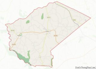
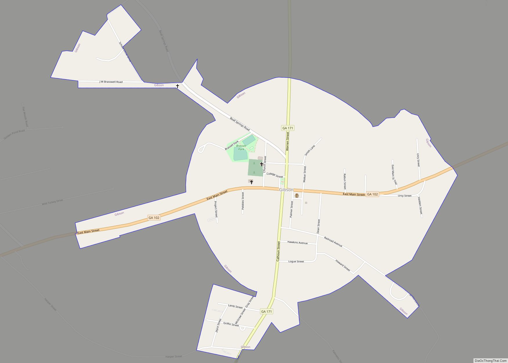
Gibson is a city in Glascock County, Georgia, United States. The population was 663 at the 2010 census. The city is the county seat of Glascock County and home to the Glascock County Courthouse, a National Register of Historic Places listed site.
Gibson’s name was derived from Judge William Gibson, a former Confederate colonel and commanding officer of the 48th Georgia, who donated $500 for Glascock County’s first public building, the courthouse.
| Name: | Gibson city |
|---|---|
| LSAD Code: | 25 |
| LSAD Description: | city (suffix) |
| State: | Georgia |
| County: | Glascock County |
| Elevation: | 348 ft (106 m) |
| Total Area: | 1.04 sq mi (2.69 km²) |
| Land Area: | 1.02 sq mi (2.65 km²) |
| Water Area: | 0.01 sq mi (0.04 km²) |
| Total Population: | 630 |
| Population Density: | 614.63/sq mi (237.40/km²) |
| ZIP code: | 30810 |
| Area code: | 706 |
| FIPS code: | 1332748 |
| GNISfeature ID: | 0331807 |
Online Interactive Map
Click on ![]() to view map in "full screen" mode.
to view map in "full screen" mode.
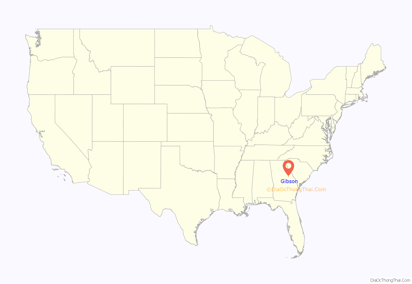
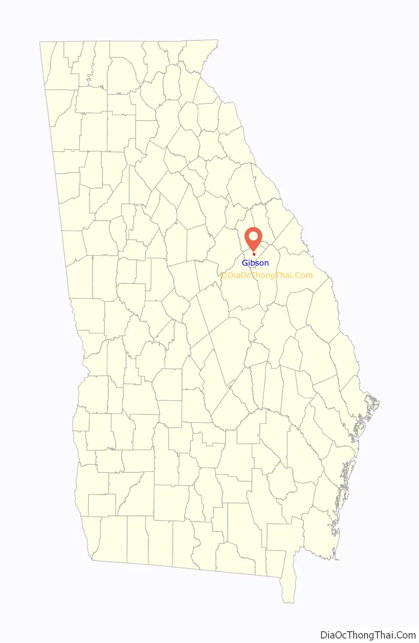
Gibson location map. Where is Gibson city?
History
Gibson was founded in 1858 as the seat of the newly formed Glascock County. It was incorporated as a town in 1913 and as a city in 1943.
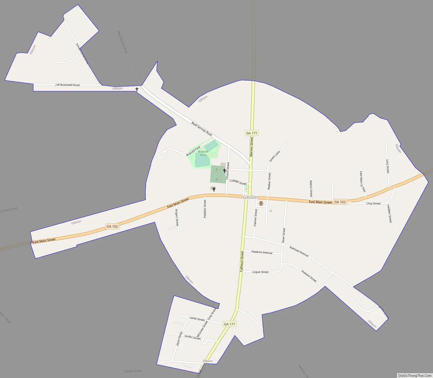
Gibson Road Map
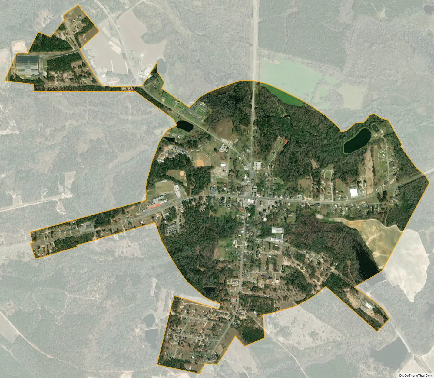
Gibson city Satellite Map
Geography
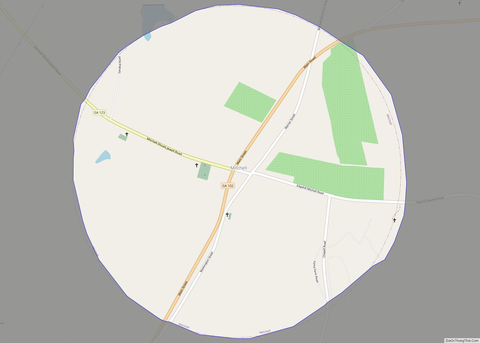
Gibson is located slightly northeast of the center of Glascock County at 33°13′58″N 82°35′43″W / 33.23278°N 82.59528°W / 33.23278; -82.59528 (33.232737, -82.595301). Georgia State Routes 102 and 171 cross in the center of town. GA 102 leads west 6 miles (10 km) to Mitchell and east 10 miles (16 km) to Stapleton, while GA 171 leads north 13 miles (21 km) to Warrenton and south 24 miles (39 km) to Louisville. Augusta, 44 miles (71 km) to the northeast, is the closest large city.
According to the United States Census Bureau, Gibson has a total area of 1.0 square mile (2.7 km), of which 0.02 square miles (0.04 km), or 1.41%, is water. Rocky Comfort Creek, a southeast-flowing tributary of the Ogeechee River, passes through the northern part of Gibson.
See also
Map of Georgia State and its subdivision:- Appling
- Atkinson
- Bacon
- Baker
- Baldwin
- Banks
- Barrow
- Bartow
- Ben Hill
- Berrien
- Bibb
- Bleckley
- Brantley
- Brooks
- Bryan
- Bulloch
- Burke
- Butts
- Calhoun
- Camden
- Candler
- Carroll
- Catoosa
- Charlton
- Chatham
- Chattahoochee
- Chattooga
- Cherokee
- Clarke
- Clay
- Clayton
- Clinch
- Cobb
- Coffee
- Colquitt
- Columbia
- Cook
- Coweta
- Crawford
- Crisp
- Dade
- Dawson
- Decatur
- DeKalb
- Dodge
- Dooly
- Dougherty
- Douglas
- Early
- Echols
- Effingham
- Elbert
- Emanuel
- Evans
- Fannin
- Fayette
- Floyd
- Forsyth
- Franklin
- Fulton
- Gilmer
- Glascock
- Glynn
- Gordon
- Grady
- Greene
- Gwinnett
- Habersham
- Hall
- Hancock
- Haralson
- Harris
- Hart
- Heard
- Henry
- Houston
- Irwin
- Jackson
- Jasper
- Jeff Davis
- Jefferson
- Jenkins
- Johnson
- Jones
- Lamar
- Lanier
- Laurens
- Lee
- Liberty
- Lincoln
- Long
- Lowndes
- Lumpkin
- Macon
- Madison
- Marion
- McDuffie
- McIntosh
- Meriwether
- Miller
- Mitchell
- Monroe
- Montgomery
- Morgan
- Murray
- Muscogee
- Newton
- Oconee
- Oglethorpe
- Paulding
- Peach
- Pickens
- Pierce
- Pike
- Polk
- Pulaski
- Putnam
- Quitman
- Rabun
- Randolph
- Richmond
- Rockdale
- Schley
- Screven
- Seminole
- Spalding
- Stephens
- Stewart
- Sumter
- Talbot
- Taliaferro
- Tattnall
- Taylor
- Telfair
- Terrell
- Thomas
- Tift
- Toombs
- Towns
- Treutlen
- Troup
- Turner
- Twiggs
- Union
- Upson
- Walker
- Walton
- Ware
- Warren
- Washington
- Wayne
- Webster
- Wheeler
- White
- Whitfield
- Wilcox
- Wilkes
- Wilkinson
- Worth
- Alabama
- Alaska
- Arizona
- Arkansas
- California
- Colorado
- Connecticut
- Delaware
- District of Columbia
- Florida
- Georgia
- Hawaii
- Idaho
- Illinois
- Indiana
- Iowa
- Kansas
- Kentucky
- Louisiana
- Maine
- Maryland
- Massachusetts
- Michigan
- Minnesota
- Mississippi
- Missouri
- Montana
- Nebraska
- Nevada
- New Hampshire
- New Jersey
- New Mexico
- New York
- North Carolina
- North Dakota
- Ohio
- Oklahoma
- Oregon
- Pennsylvania
- Rhode Island
- South Carolina
- South Dakota
- Tennessee
- Texas
- Utah
- Vermont
- Virginia
- Washington
- West Virginia
- Wisconsin
- Wyoming