Greene County is a county located in the U.S. state of Illinois. According to the 2020 United States Census, it has a population of 11,843. Its county seat is Carrollton.
A notable archaeological area, the Koster Site, has produced evidence of more than 7,000 years of human habitation. Artifacts from the site are displayed at the Center for American Archeology in Kampsville, Illinois.
| Name: | Greene County |
|---|---|
| FIPS code: | 17-061 |
| State: | Illinois |
| Founded: | 1821 |
| Named for: | Nathanael Greene |
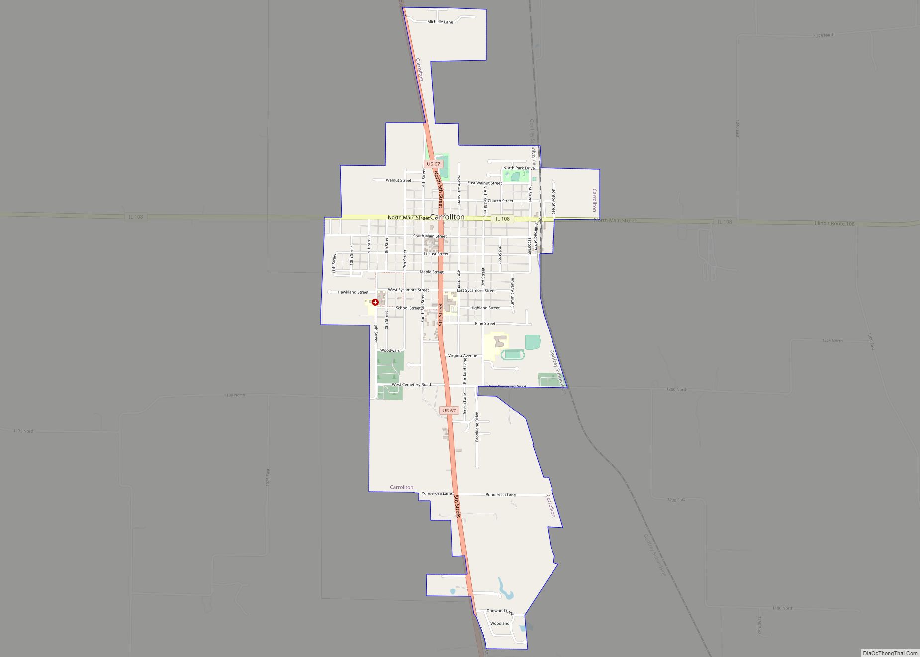
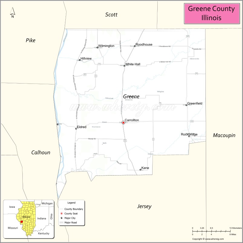
| Seat: | Carrollton |
| Largest city: | Carrollton |
| Total Area: | 546 sq mi (1,410 km²) |
| Land Area: | 543 sq mi (1,410 km²) |
| Total Population: | 13,886 |
| Population Density: | 25/sq mi (9.8/km²) |
| Time zone: | UTC−6 (Central) |
| Summer Time Zone (DST): | UTC−5 (CDT) |
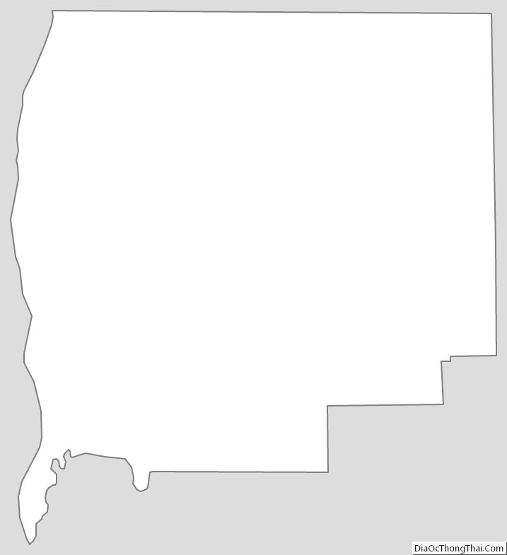
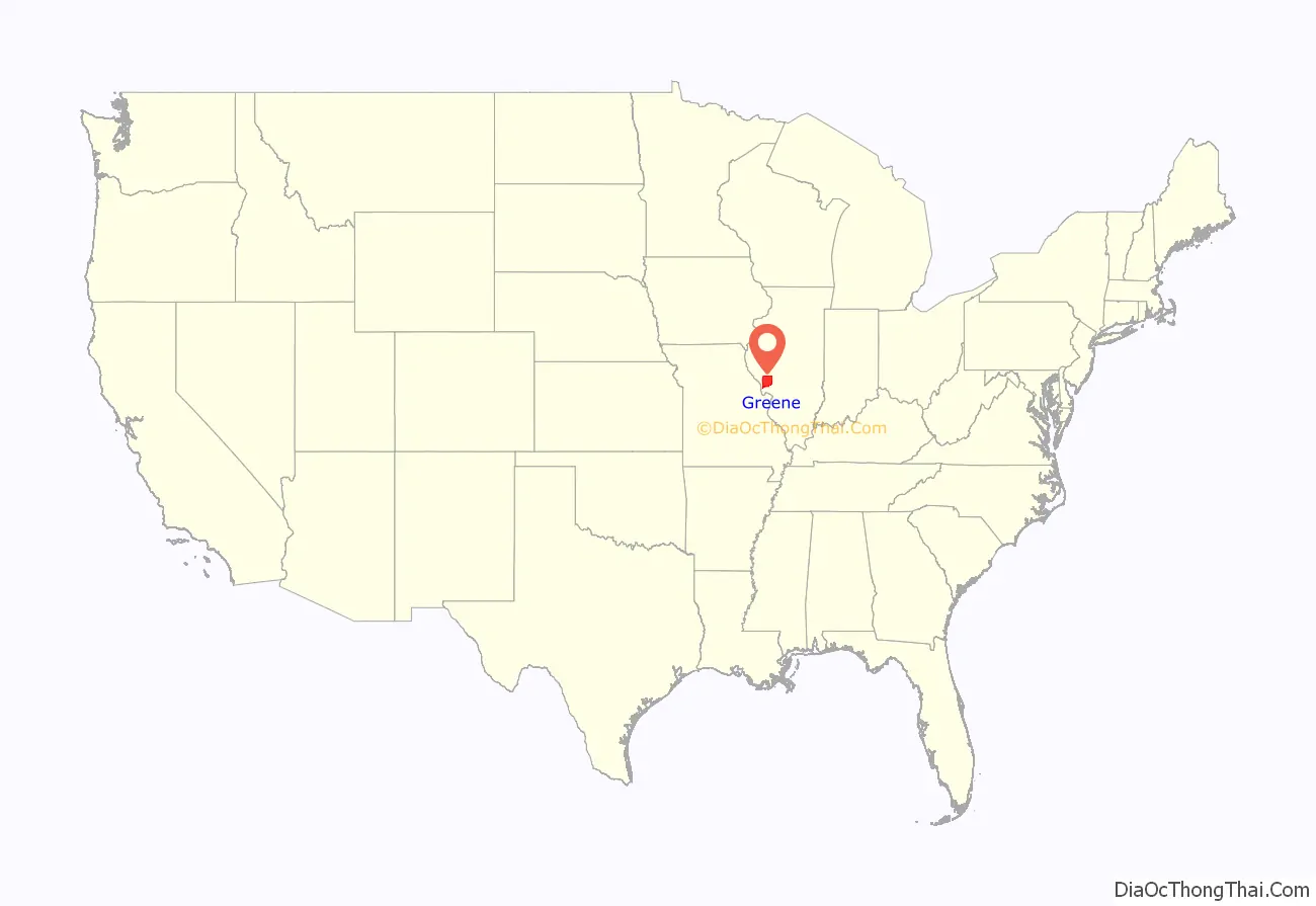
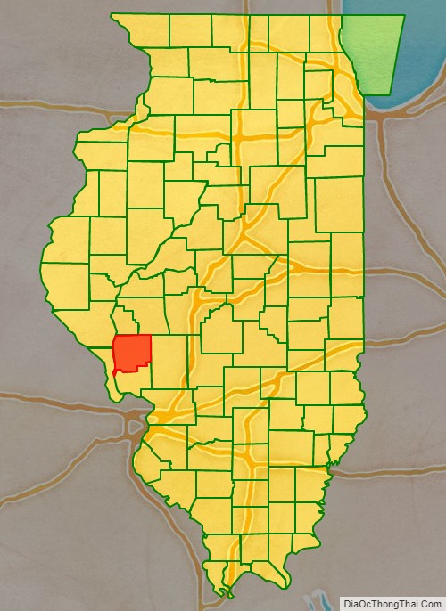
Greene County location map. Where is Greene County?
History
Greene County is named in honor of General Nathanael Greene, a hero of the American Revolutionary War. In 1821, three years after Illinois became a state, Greene County was established, being carved out of what was previously Madison county and St. Clair county before that. Over the course of the next 18 years four more counties were formed out of what was once Greene Country. These include Scott, Morgan, Macoupin and Jersey counties. This left Greene county with approximately 546 square miles of land located in western-central Illinois near the Illinois River, which was an important resource that provided both a means for travel and to ship goods. Like much of southern Illinois the earliest settlers in the county came from Southern states such as North and South Carolina, Virginia, Kentucky, and Tennessee. By the time of the Civil War, 1860, the population of Greene County had grown to 16,093 and 10% of the adult population had been born in the Northeast, 15% were foreign born, 25% were born in Southern states, and almost 50% had been born in the Midwest. Of the population born in the Midwest many could still trace their roots to the South, with almost 80% of them having a parents born in a Southern state.
Greene County from its creation in 1821 to 1823, including unorganized territory temporarily attached to it.
Greene County between 1823 and 1825
Greene between 1825 and 1829
Greene between 1829 and 1839
Greene in 1839 after the creation of Jersey County reduced Greene to its current size
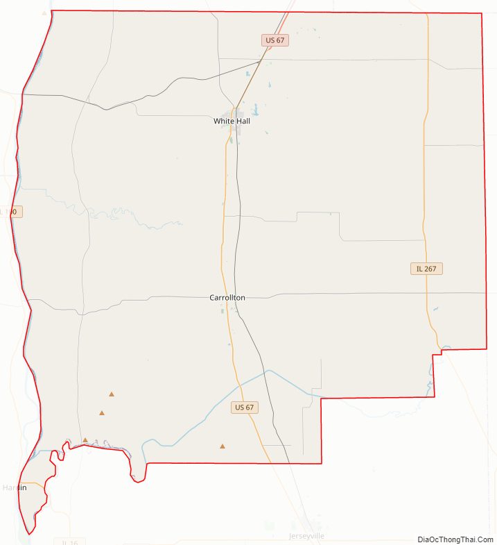
Greene County Road Map
Geography
According to the US Census Bureau, the county has a total area of 546 square miles (1,410 km), of which 543 square miles (1,410 km) is land and 3.3 square miles (8.5 km) (0.6%) is water.
Climate and weather
In recent years, average temperatures in the county seat of Carrollton have ranged from a low of 16 °F (−9 °C) in January to a high of 87 °F (31 °C) in July, although a record low of −26 °F (−32 °C) was recorded in January 1912 and a record high of 113 °F (45 °C) was recorded in July 1934. Average monthly precipitation ranged from 1.60 inches (41 mm) in January to 4.34 inches (110 mm) in May.
Major highways
- U.S. Highway 67
- Illinois Route 100
- Illinois Route 108
- Illinois Route 267
Adjacent counties
- Scott County – north
- Morgan County – north
- Macoupin County – east
- Jersey County – south
- Calhoun County – southwest
- Pike County – northwest
National protected area
- Two Rivers National Wildlife Refuge (part: Apple Creek Division)
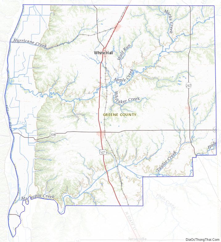
Greene County Topographic Map
Greene County Satellite Map
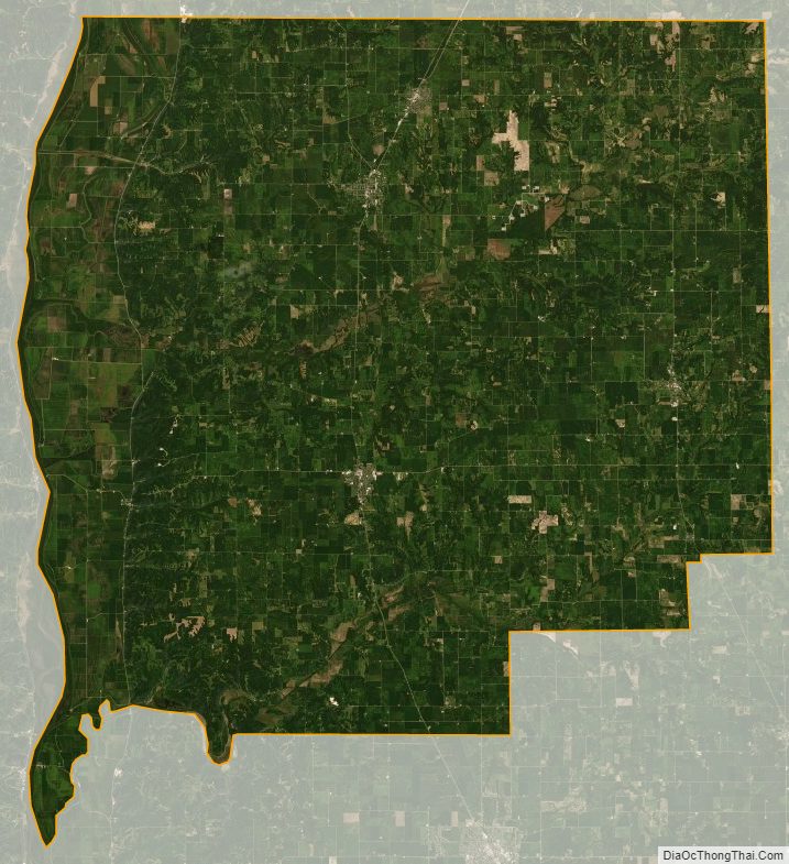
Greene County Outline Map