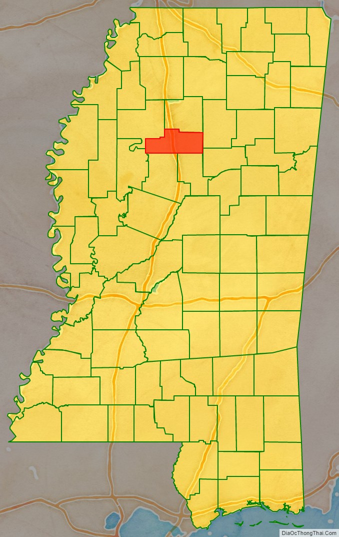
Grenada County is a county located in the U.S. state of Mississippi between Memphis and Jackson, Mississippi. As reported by the 2020 United States Census, the population was 21,629. Its county seat is Grenada. The county was named for the province of Granada in southern Spain but spelled inaccurately. Its western half is part of the Mississippi Delta. Cotton cultivation was important to its economy well into the 20th century.
The Grenada, MS Micropolitan Statistical Area includes all of Grenada County.
| Name: | Grenada County |
|---|---|
| FIPS code: | 28-043 |
| State: | Mississippi |
| Founded: | 1870 |
| Named for: | Granada |
| Seat: | Grenada |
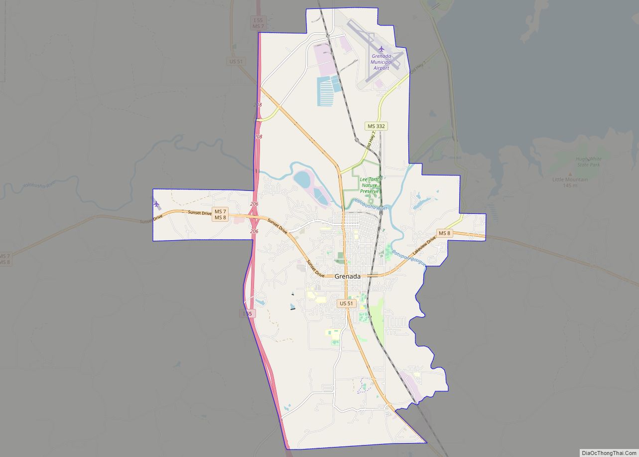
| Largest city: | Grenada |
| Total Area: | 449 sq mi (1,160 km²) |
| Land Area: | 422 sq mi (1,090 km²) |
| Total Population: | 21,629 |
| Population Density: | 48/sq mi (19/km²) |
| Time zone: | UTC−6 (Central) |
| Summer Time Zone (DST): | UTC−5 (CDT) |
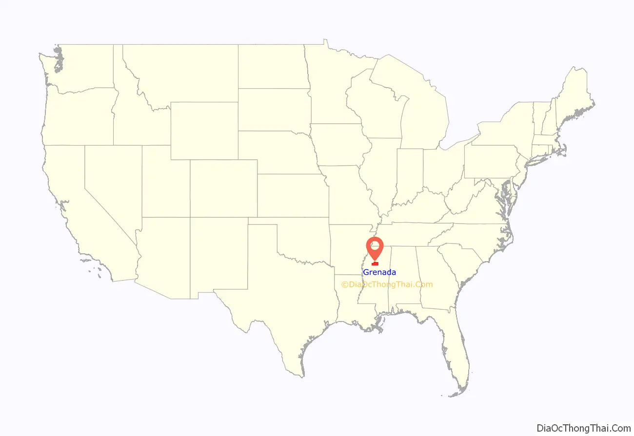
Grenada County location map. Where is Grenada County?
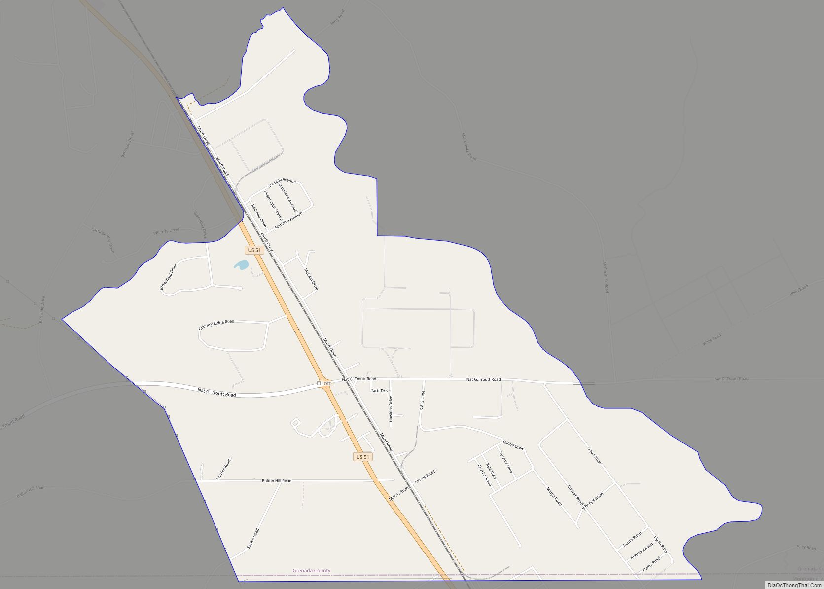
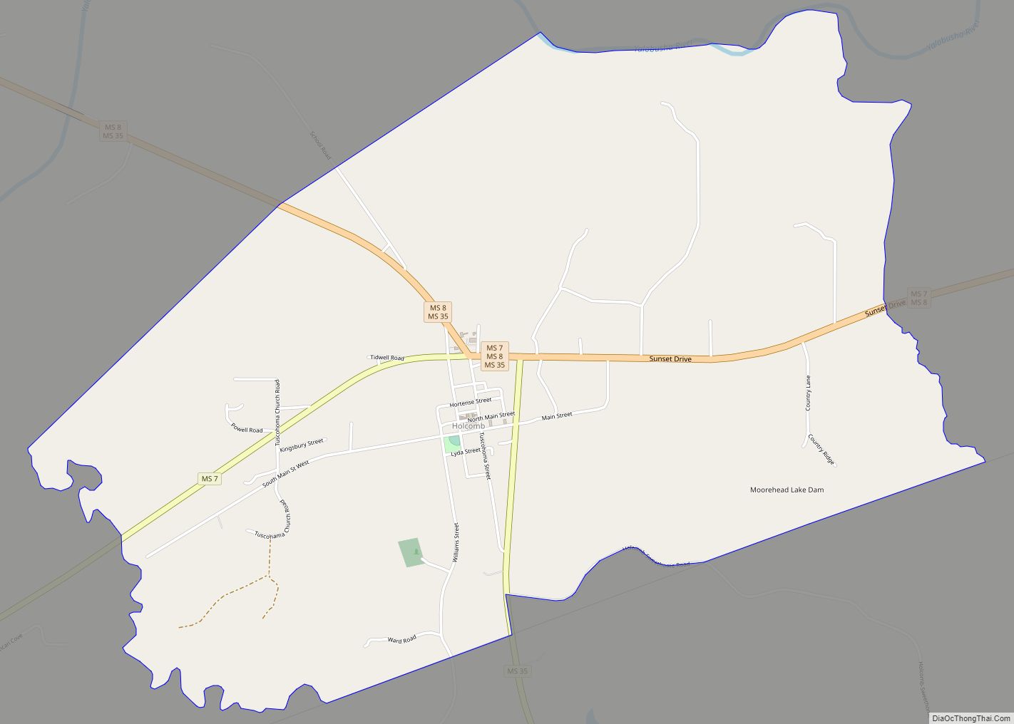
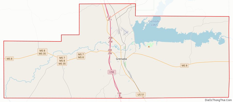
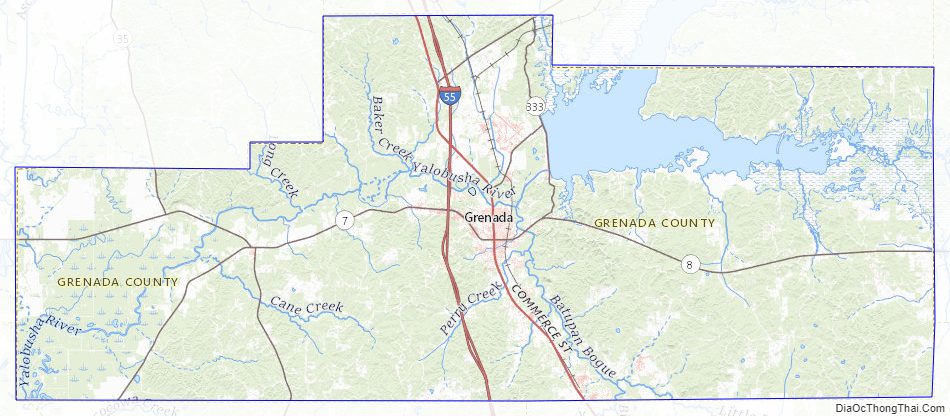
Grenada County Road Map
Geography
According to the U.S. Census Bureau, the county has a total area of 449 square miles (1,160 km), of which 422 square miles (1,090 km) is land and 27 square miles (70 km) (6.1%) is water.
Major highways
- Interstate 55
- U.S. Highway 51
- Mississippi Highway 7
- Mississippi Highway 8
- Mississippi Highway 35
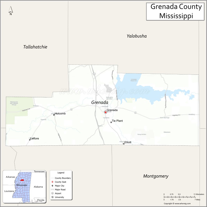
Adjacent counties
- Yalobusha County (north)
- Calhoun County (east)
- Webster County (southeast)
- Montgomery County (south)
- Carroll County (south)
- Leflore County (west)
- Tallahatchie County (northwest)
National protected area
- Tallahatchie National Wildlife Refuge (part)
Grenada County Topographic Map
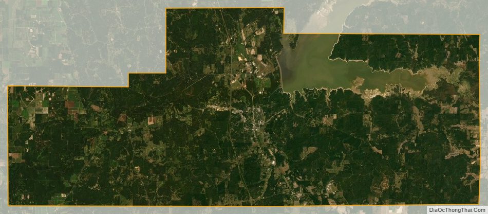
Grenada County Satellite Map
Grenada County Outline Map