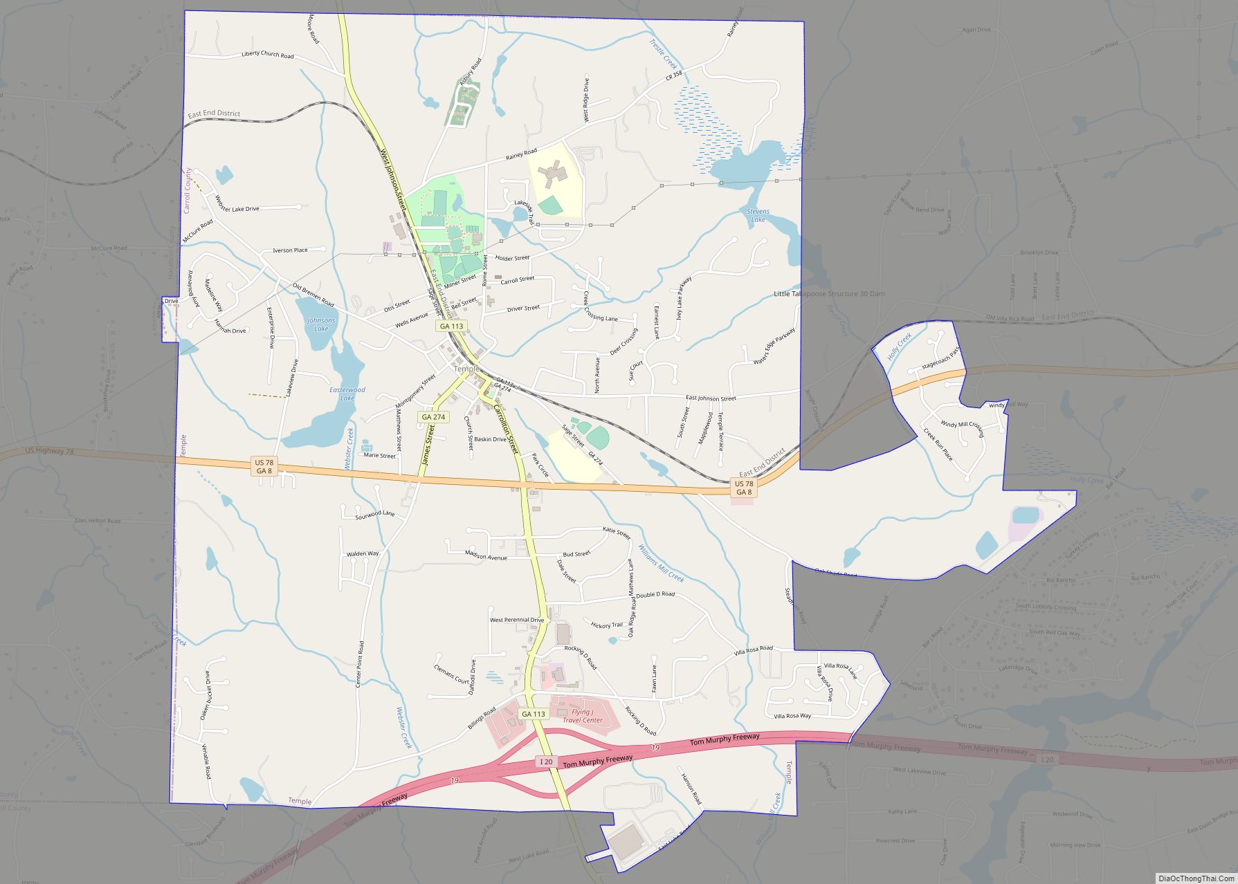
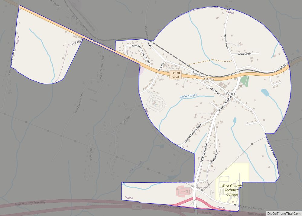
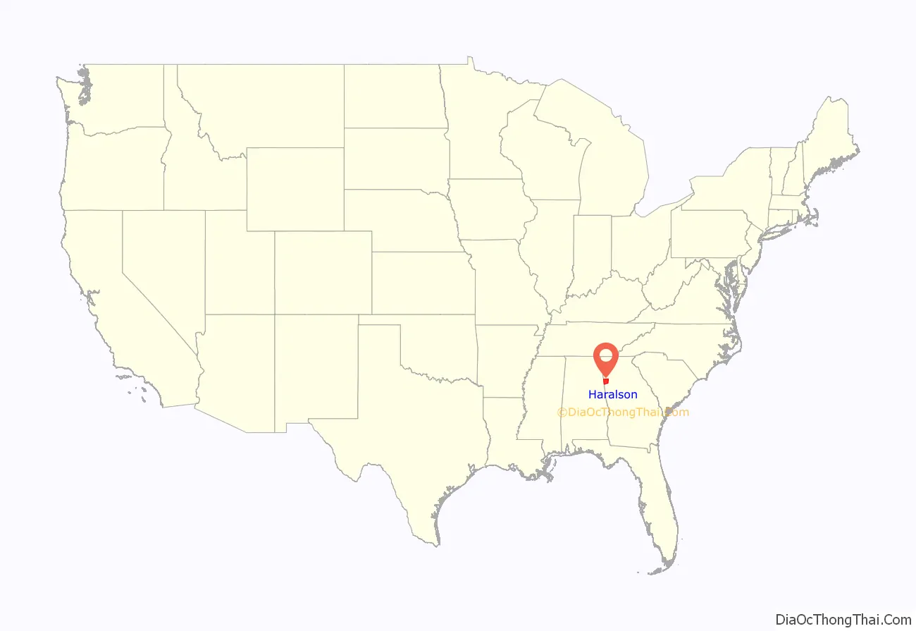
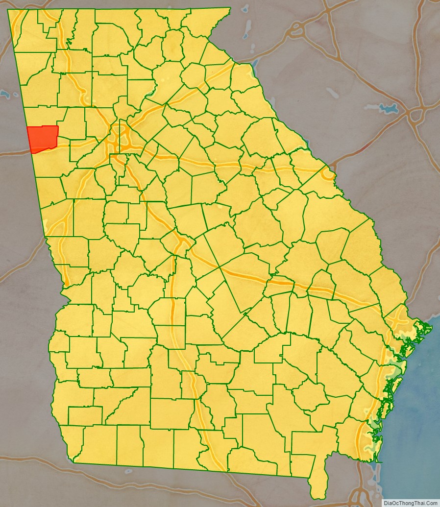
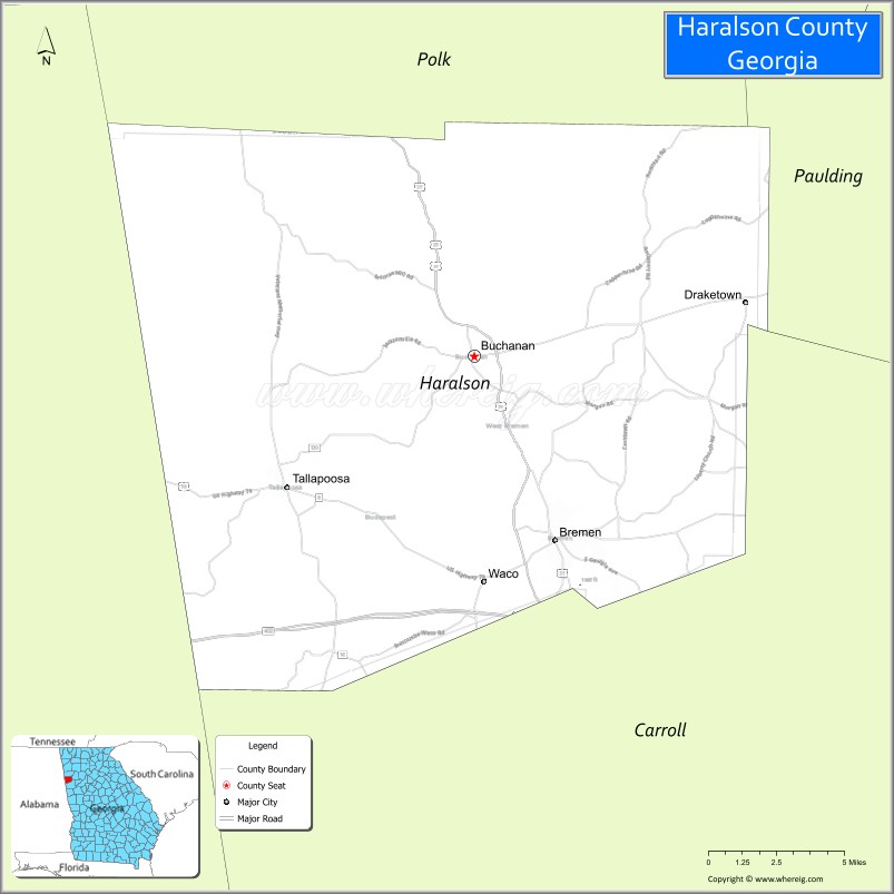
Haralson County is a county located in the northwestern part of the U.S. state of Georgia. As of the 2020 census, the population was 29,919, up from 28,780 2010. The county seat is Buchanan. The county was created on January 26, 1856, and was named for Hugh A. Haralson, a former Georgia congressman.
Haralson County is part of the Atlanta-Sandy Springs-Roswell, GA metropolitan statistical area.
| Name: | Haralson County |
|---|---|
| FIPS code: | 13-143 |
| State: | Georgia |
| Founded: | 1856 |
| Named for: | Hugh A. Haralson |
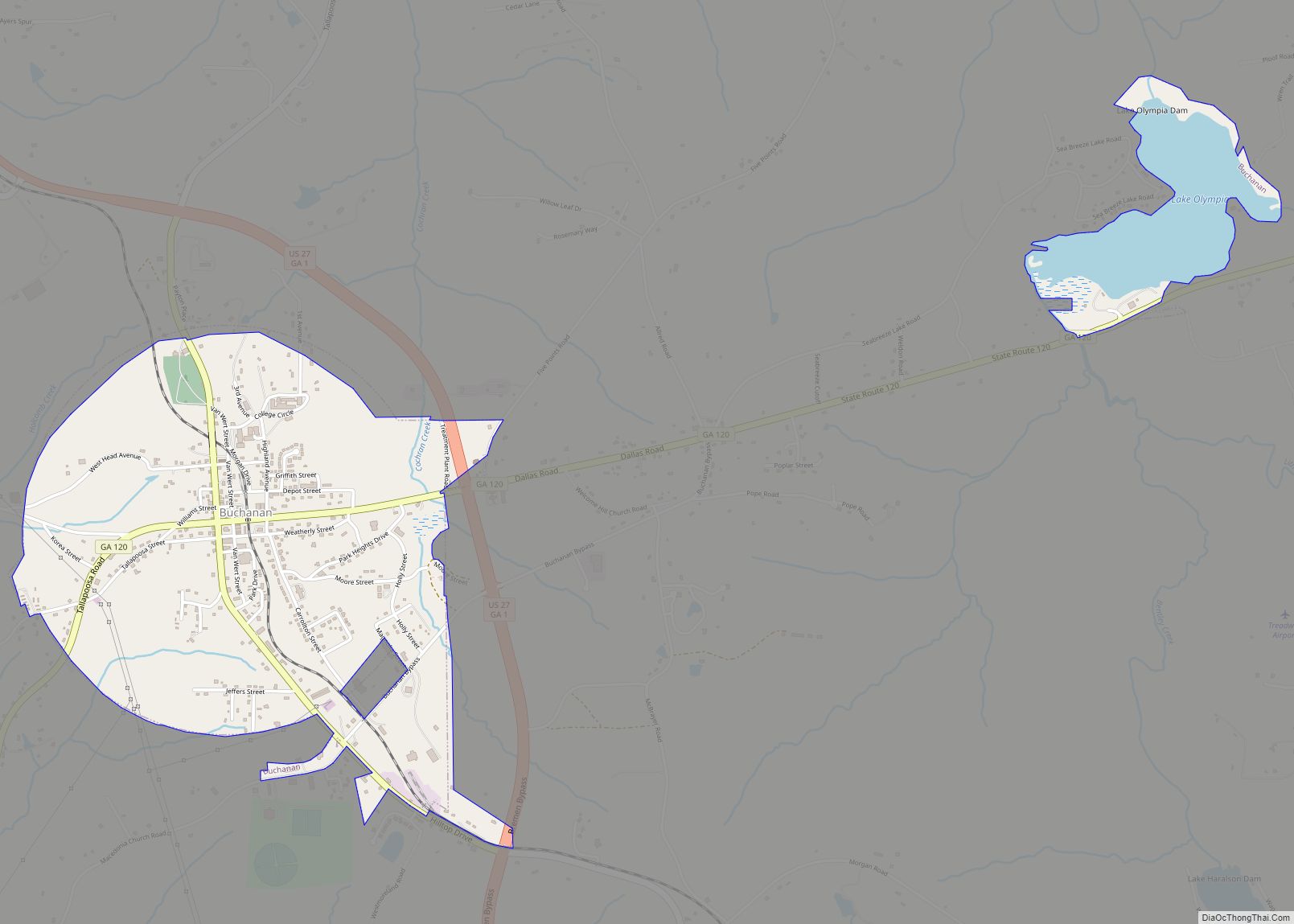
| Seat: | Buchanan |
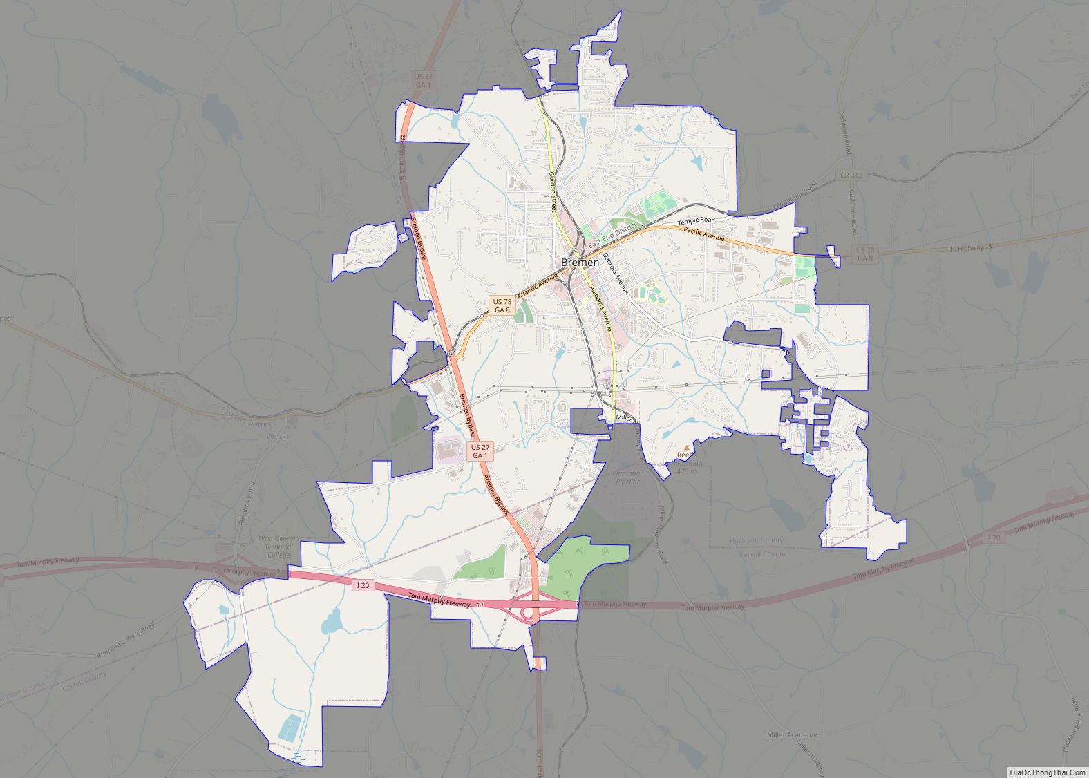
| Largest city: | Bremen |
| Total Area: | 283 sq mi (730 km²) |
| Land Area: | 282 sq mi (730 km²) |
| Total Population: | 29,919 |
| Time zone: | UTC−5 (Eastern) |
| Summer Time Zone (DST): | UTC−4 (EDT) |
Haralson County location map. Where is Haralson County?
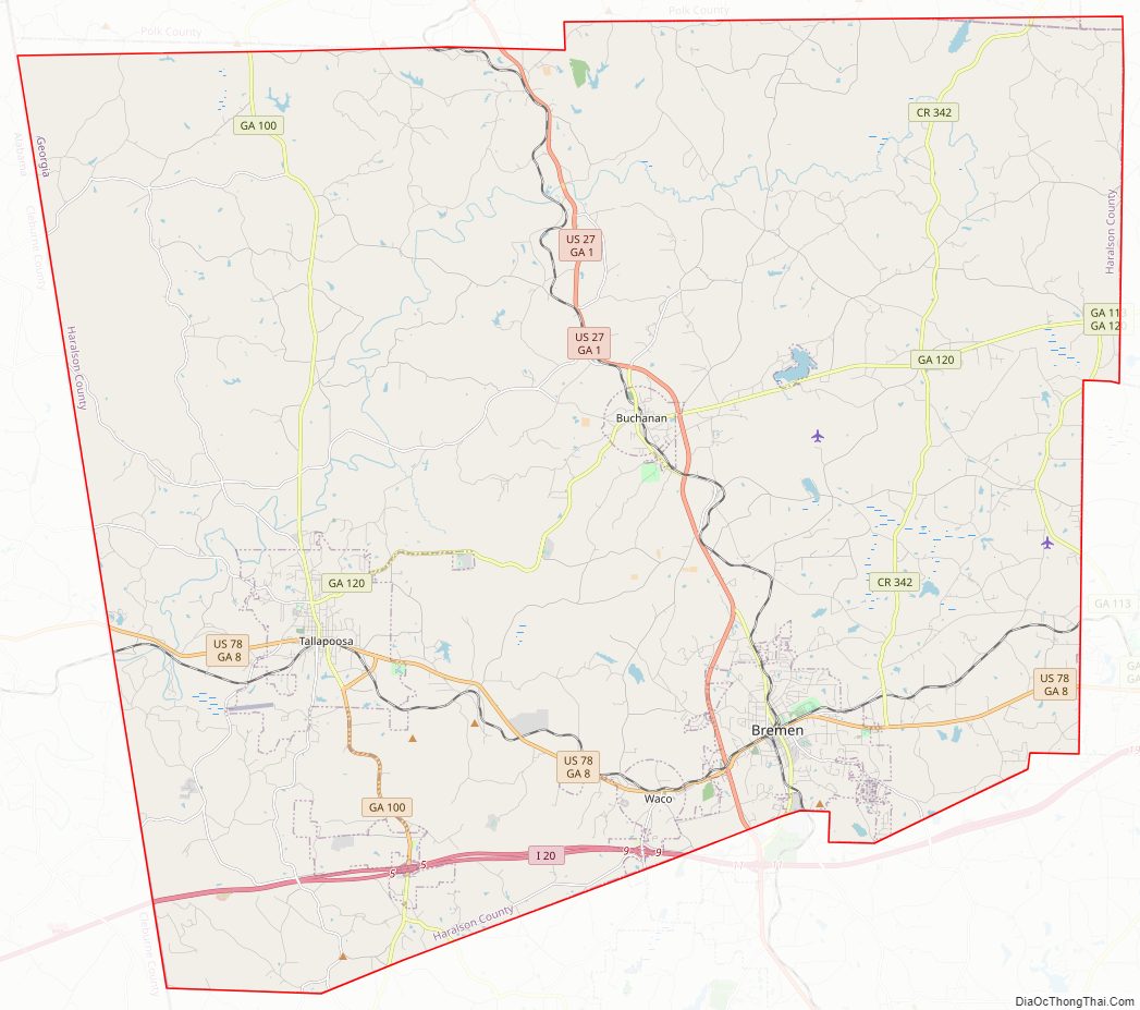
Haralson County Road Map
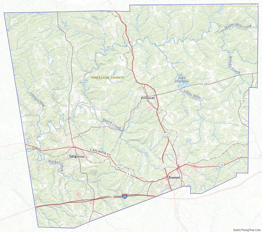
Geography
According to the U.S. Census Bureau, the county has a total area of 283 square miles (730 km), of which 282 square miles (730 km) is land and 1.0 square mile (2.6 km) (0.4%) is water. Much of the county is located within the upper Piedmont region of the state, with a few mountains in the county that are considered part of the foothills of the Appalachian Mountains.
The vast majority of Haralson County is located in the Upper Tallapoosa River sub-basin of the ACT River Basin (Coosa-Tallapoosa River Basin). Just the very northwestern corner of the county is located in the Upper Coosa River sub-basin of the same ACT River Basin.
Major highways
- Interstate 20
- U.S. Route 27
U.S. Route 27 Business- U.S. Route 78
- State Route 1
- State Route 1 Business
- State Route 8
- State Route 16
- State Route 100
- State Route 113
- State Route 120
- State Route 402 (unsigned designation for I-20)
Adjacent counties
- Polk County – north
- Paulding County – northeast
- Carroll County – south
- Cleburne County, Alabama – west (CST)
Haralson County Topographic Map
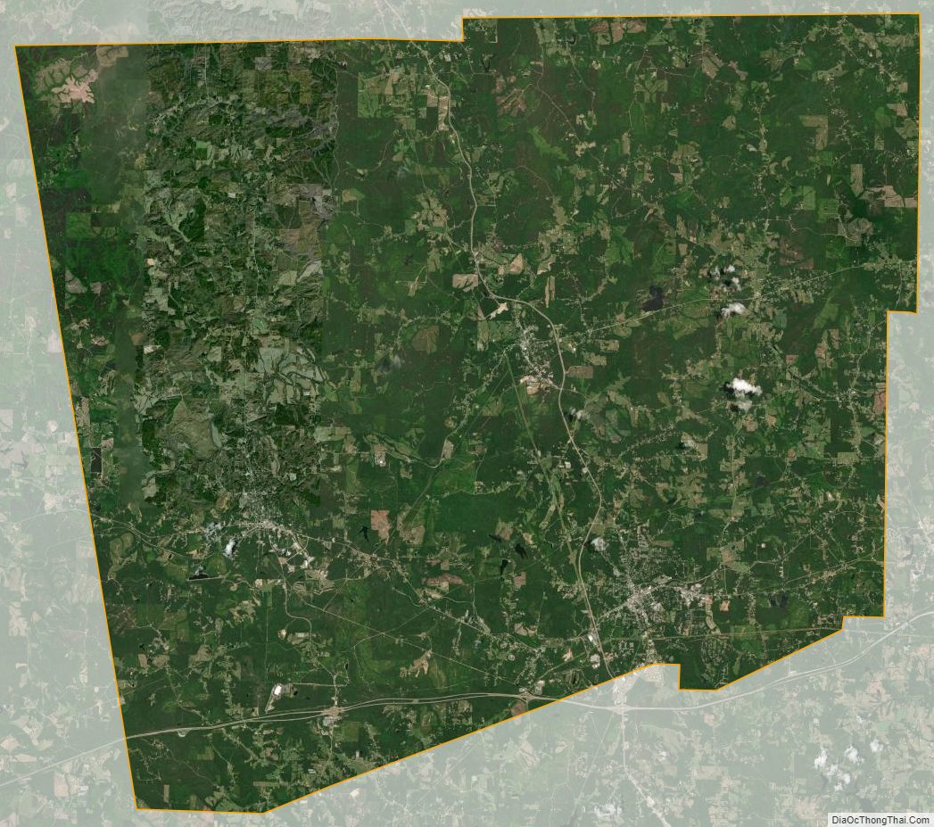
Haralson County Satellite Map
Haralson County Outline Map