Heard County is a county located in the west central portion of the U.S. state of Georgia. At the 2020 census, the population was 11,412, down from 11,834 in 2010. The county seat is Franklin. The county was created on December 22, 1830.
Heard County is included in the Atlanta-Sandy Springs-Roswell, GA Metropolitan Statistical Area.
| Name: | Heard County |
|---|---|
| FIPS code: | 13-149 |
| State: | Georgia |
| Founded: | 1830 |
| Named for: | Stephen Heard |
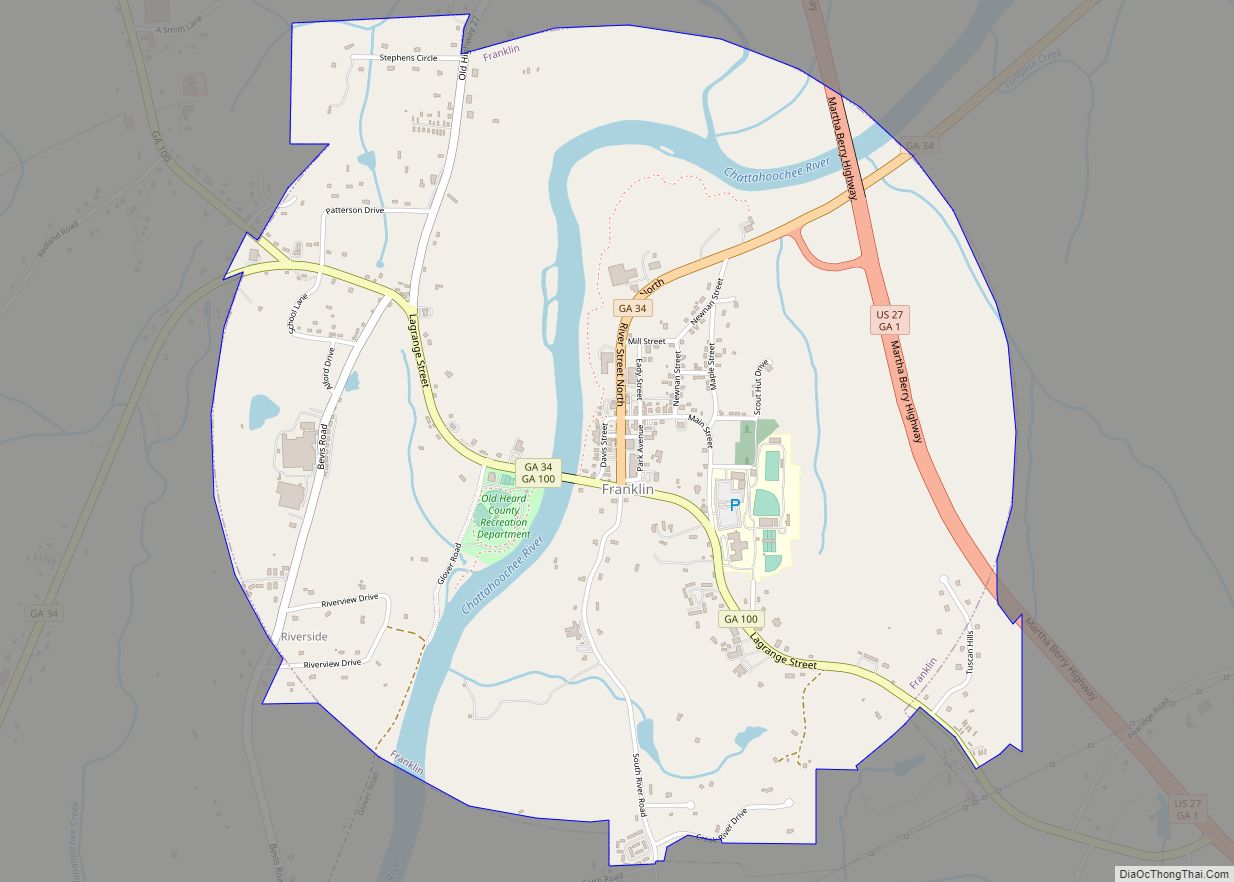
| Seat: | Franklin |
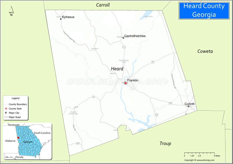
| Largest city: | Franklin |
| Total Area: | 301 sq mi (780 km²) |
| Land Area: | 296 sq mi (770 km²) |
| Total Population: | 11,412 |
| Time zone: | UTC−5 (Eastern) |
| Summer Time Zone (DST): | UTC−4 (EDT) |
| Website: | heardcountyga.com |
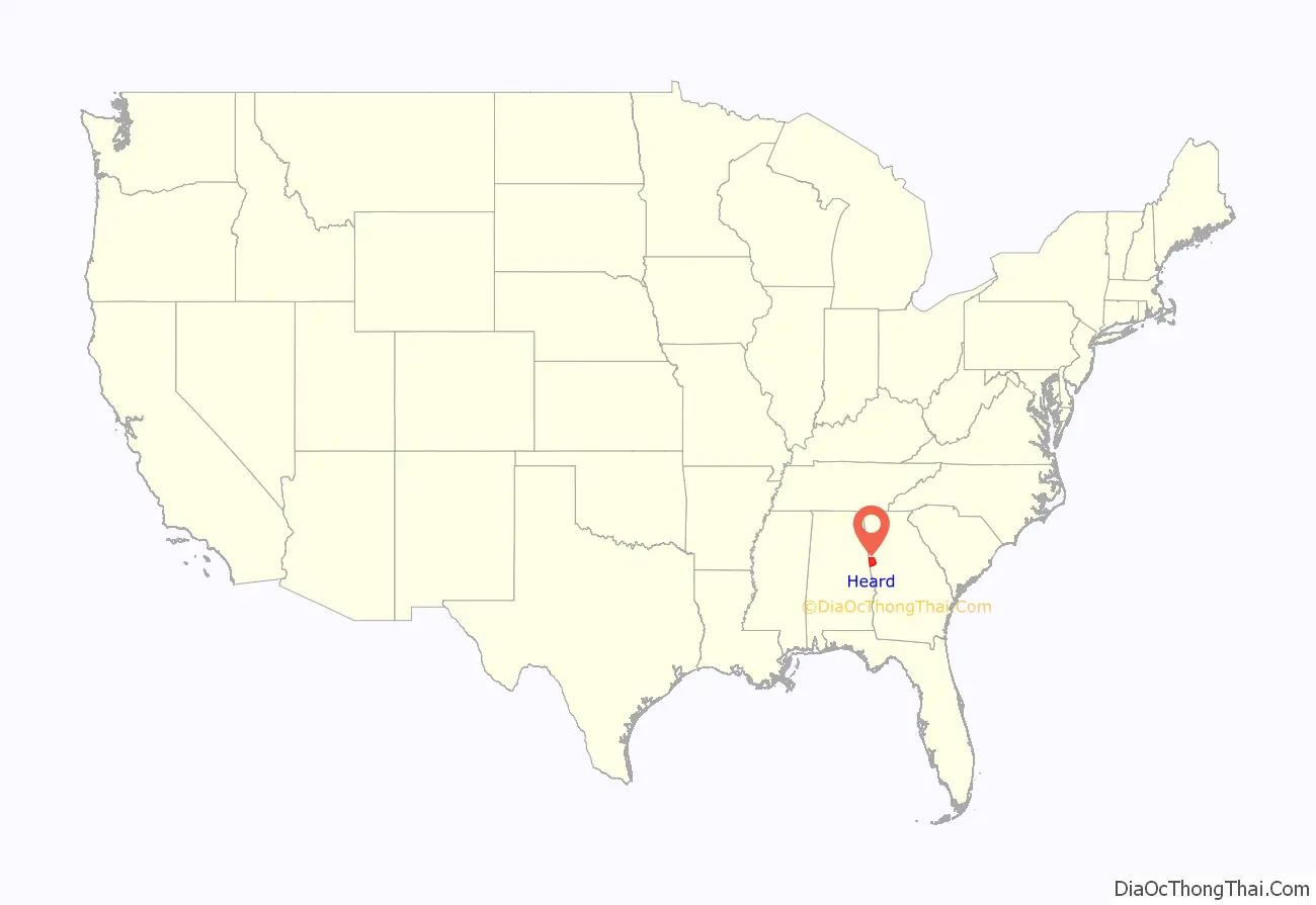
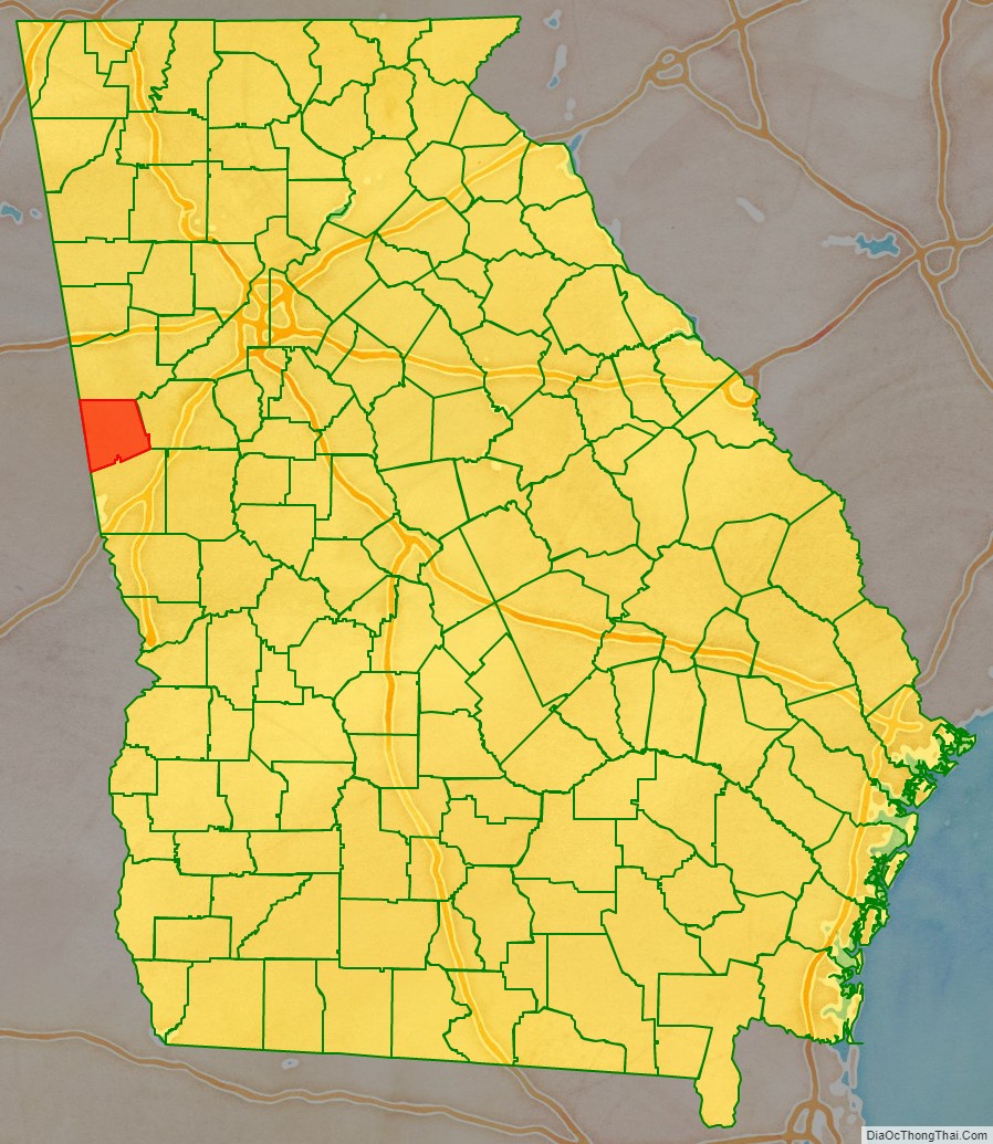
Heard County location map. Where is Heard County?
History
Heard County was created by Act of the Legislature on December 22, 1830. It was named for Stephen Heard, elected President of the Council on February 18, 1781, thus, in the absence of Governor Howley, becoming Governor de facto. Heard moved to Wilkes County from Hanover County, Virginia, and fought in the American Revolutionary War where he distinguished himself at Kettle Creek. The first Sheriff, Jonathan Mewsick, was commissioned in 1832.
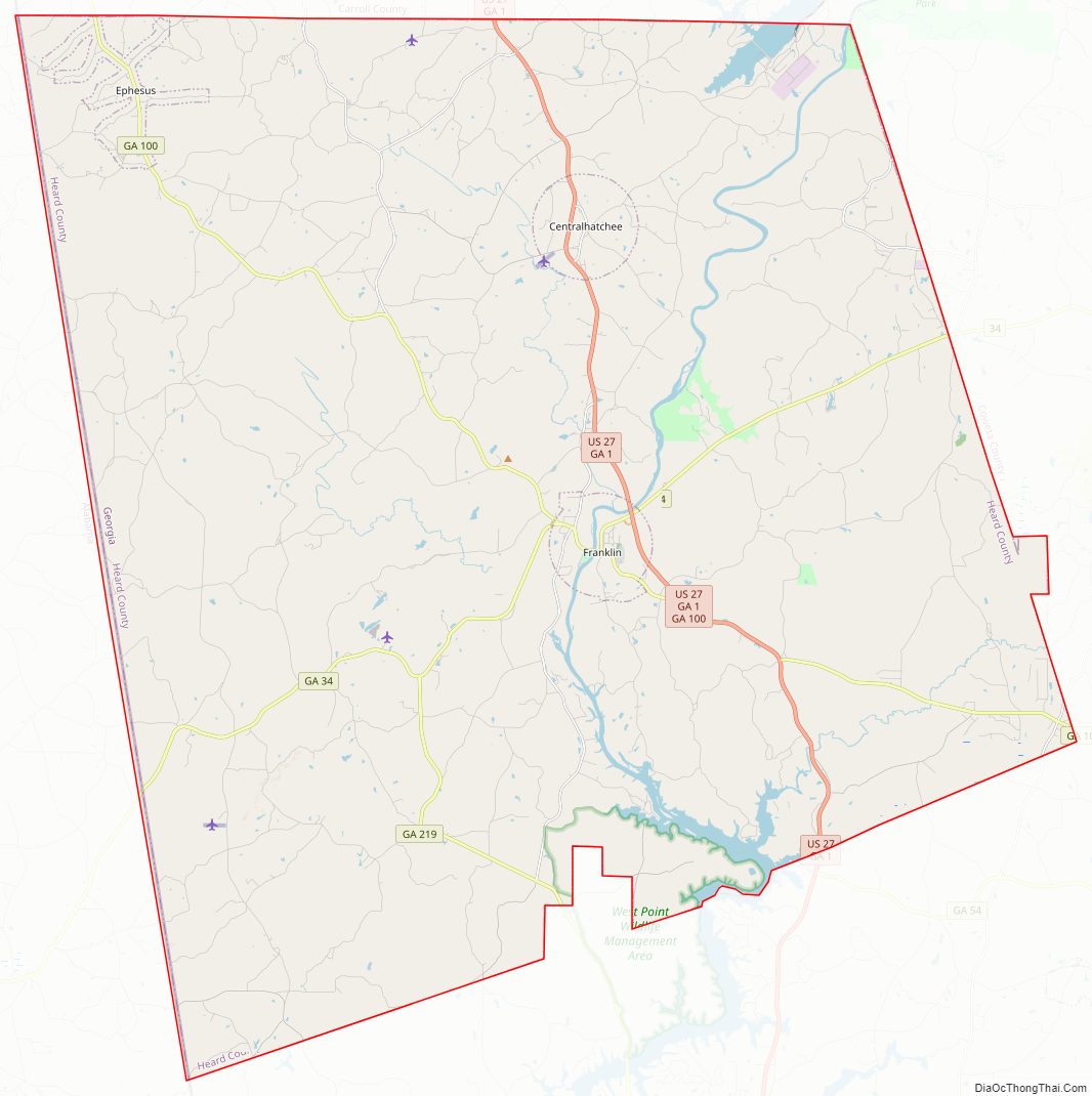
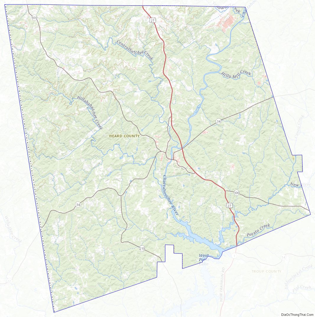
Heard County Road Map
Geography
According to the U.S. Census Bureau, the county has a total area of 301 square miles (780 km), of which 296 square miles (770 km) is land and 5.1 square miles (13 km) (1.7%) is water.
The vast majority of Heard County is located in the Middle Chattahoochee River-Lake Harding sub-basin of the ACF River Basin (Apalachicola-Chattahoochee-Flint River Basin), with just a very small northwestern corner of the county, west of Ephesus, located in the Upper Tallapoosa River sub-basin of the ACT River Basin (Coosa-Tallapoosa River Basin).
Major highways
- U.S. Route 27
- State Route 1
- State Route 34
- State Route 100
- State Route 219
Adjacent counties
- Carroll County (north)
- Coweta County (east)
- Troup County (south)
- Randolph County, Alabama (west/Central Time border)
Heard County Topographic Map
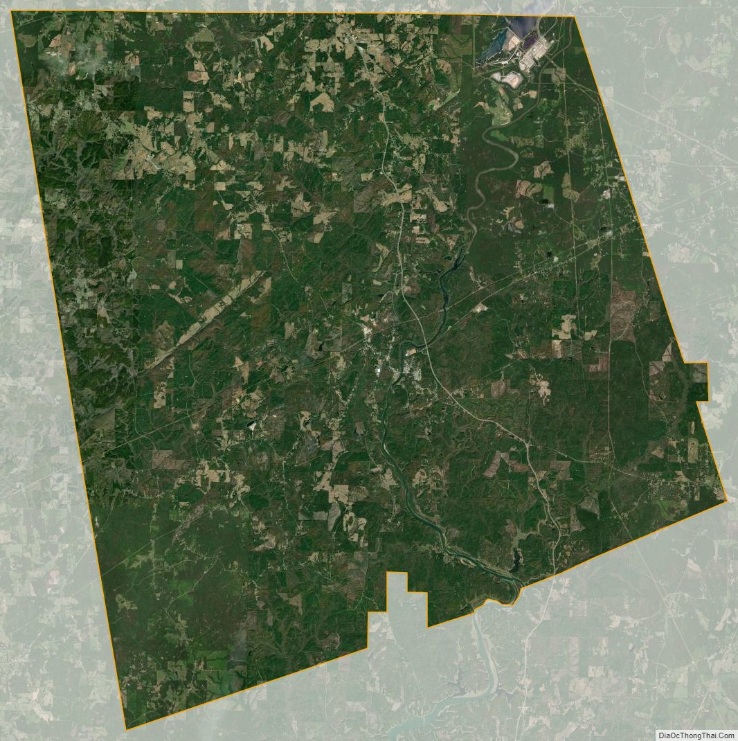
Heard County Satellite Map
Heard County Outline Map