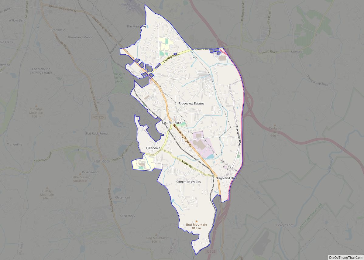
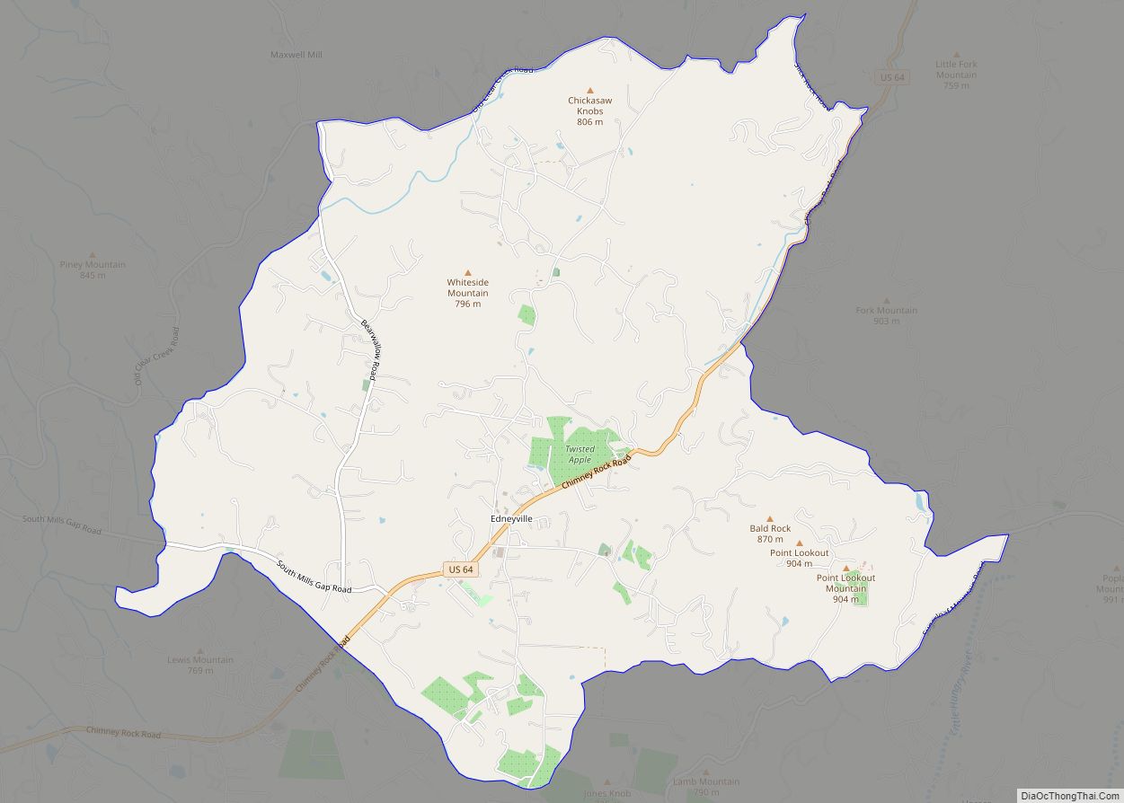
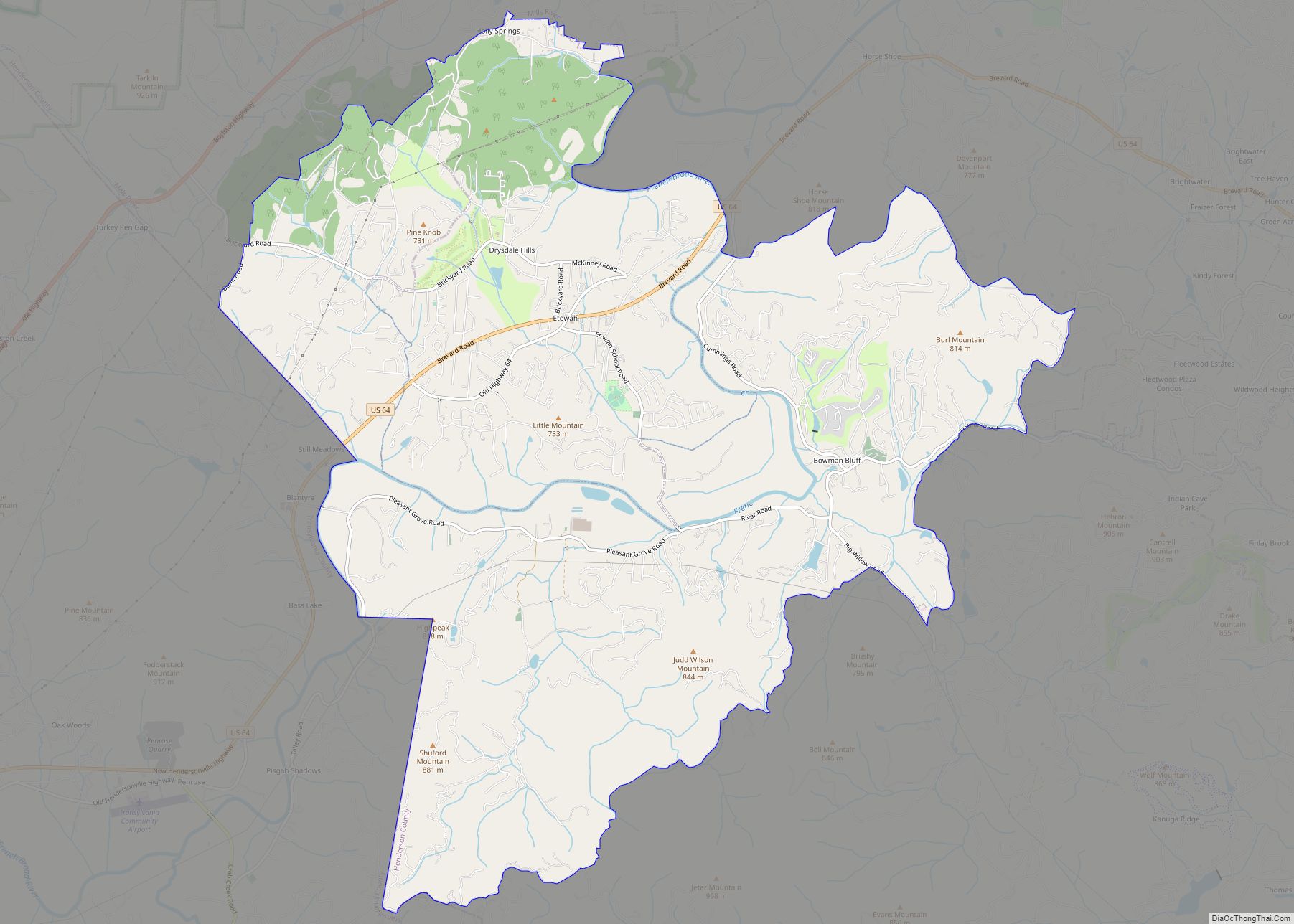
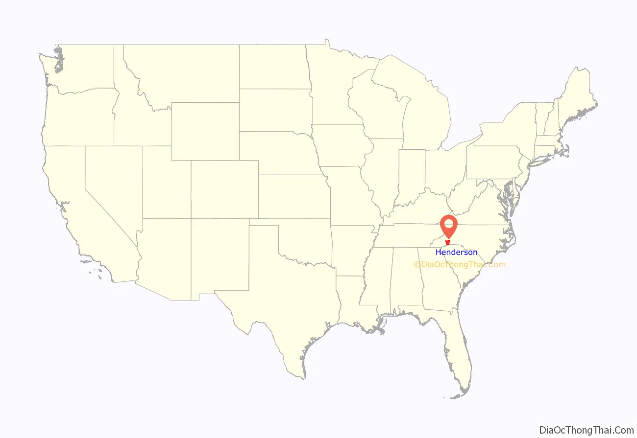
Henderson County is a county located in the U.S. state of North Carolina. As of the 2020 census, the population was 116,281. Its county seat is Hendersonville.
Henderson County is part of the Asheville Metropolitan Statistical Area.
| Name: | Henderson County |
|---|---|
| FIPS code: | 37-089 |
| State: | North Carolina |
| Founded: | 1838 |
| Named for: | Leonard Henderson |
| Seat: | Hendersonville |
| Largest city: | Hendersonville |
| Total Area: | 375 sq mi (970 km²) |
| Land Area: | 373 sq mi (970 km²) |
| Total Population: | 116,281 |
| Population Density: | 310/sq mi (120/km²) |
| Time zone: | UTC−5 (Eastern) |
| Summer Time Zone (DST): | UTC−4 (EDT) |
| Website: | www.hendersoncountync.gov |
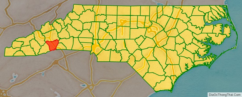
Henderson County location map. Where is Henderson County?
History
The county was formed in 1838 from the southern part of Buncombe County. It was named for Leonard Henderson, Chief Justice of the North Carolina Supreme Court from 1829 to 1833. There is no evidence Henderson ever passed through the area.
In 1855 parts of Henderson County and Rutherford County were combined to form Polk County, and in 1861 parts of Henderson County and Jackson County were combined to form Transylvania County.
Henderson County, which in 1861 encompassed present-day Transylvania County as well, contributed 1,296 soldiers to the Confederate States Army out of its approximately 10,000 population, as well as 130 Union troops. (Figures from Terrell T. Garren’s “Mountain Myth: Unionism in Western North Carolina, published 2006).
Henderson County government was centered around Hendersonville in the 1905 county courthouse on Main Street, until this structure was replaced by the new Courthouse (c. 1995) on Grove Street in Hendersonville.
The first rail line reached Hendersonville in 1879, ushering in a new era of access to the outside world. However, parts of the county had long been known as retreats, including the “Little Charleston” of Flat Rock in which South Carolina‘s Low Country planter families had maintained second homes since the early 19th century.
A major land boom ensued in the 1920s, culminating in the crash of 1929, which severely deflated prices and left structures such as the Fleetwood Hotel atop Jumpoff Mountain incomplete. Population growth in the county has been rapid since the 1960s as a result of an influx from other states, with many new housing developments changing the face of previously rural areas of the county.
Other notable historic sites in Henderson County include: the Woodfield Inn (1852), Connemara—final home of Carl Sandburg (originally known as Rock Hill, the home of CSA Secretary of the Treasury Christopher Memminger) — and the St. John in the Wilderness Episcopal Church. Today, Flat Rock is the site of the main campus of Blue Ridge Community College.
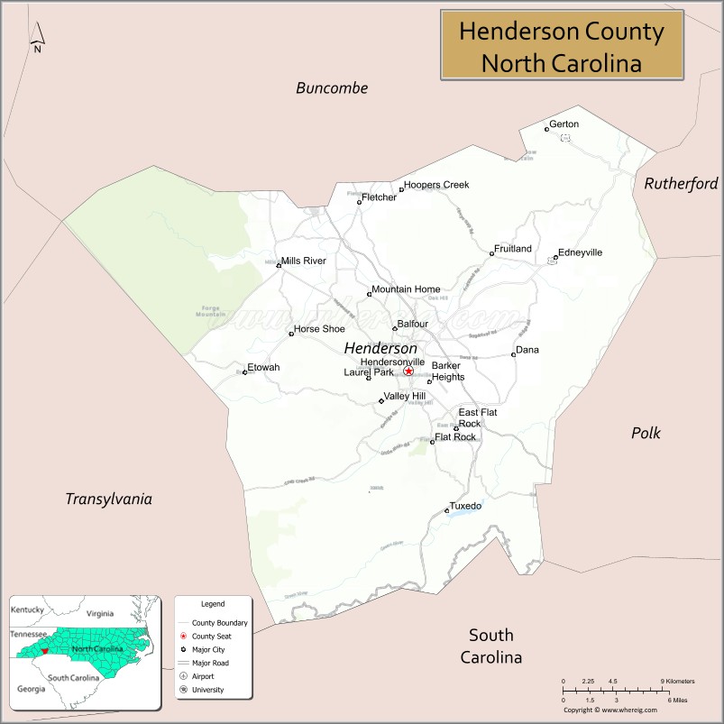
Henderson County Road Map
Geography
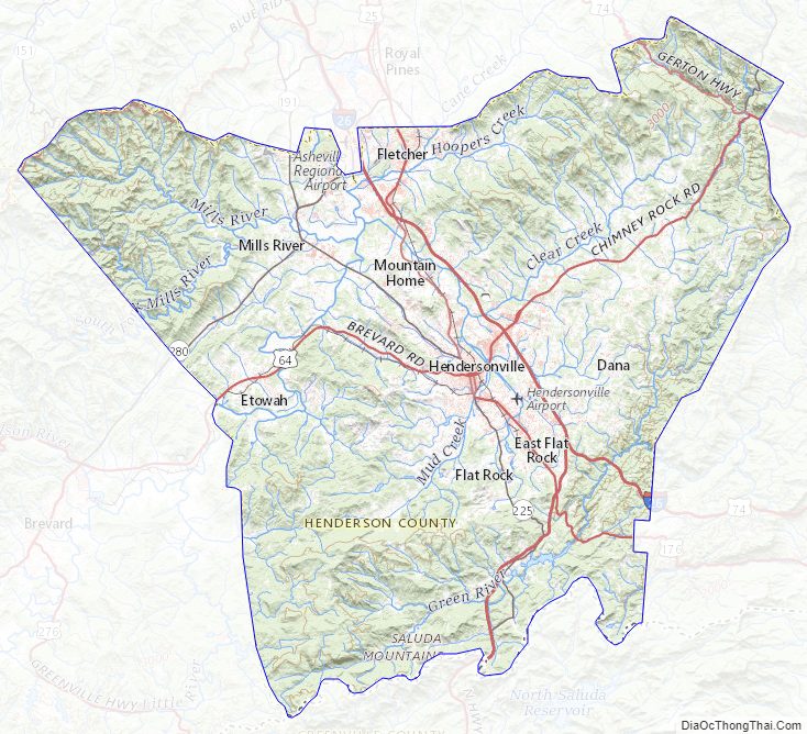
Henderson County is located in the Blue Ridge Mountains of southwestern North Carolina, on the border with South Carolina. The Eastern Continental Divide, which lies along the crest of the Blue Ridge, passes through the county. The northwestern slope of the Divide is known as the Blue Ridge Plateau and the southeastern slope as the Blue Ridge Escarpment. These two physiographic features have unique characteristics that account for wide variations in the county’s climate. According to the U.S. Census Bureau, the county has a total area of 375 square miles (970 km), of which 373 square miles (970 km) is land and 2.2 square miles (5.7 km) (0.6%) is water. The county’s largest body of water is Lake Summit, a reservoir impounded by the Duke Power Company for hydroelectric generation. The county’s major streams are the French Broad River (whose conjunction with the Holston River forms the Tennessee River, flowing into the Ohio River, the Mississippi River, and eventually the Gulf of Mexico), Mills River, Green River, Little River, Mud Creek, Clear Creek, Cane Creek, Hungry River, and the headwaters of the Broad River (which flows into the Congaree River of South Carolina and eventually into the Atlantic Ocean). The lowest point in the county is found along the Broad River at approximately 1,394 feet at the boundary between Henderson and Rutherford Counties in North Carolina. The high point is located on Little Pisgah Mountain at approximately 5,278 feet along the Henderson-Haywood County boundary in North Carolina (Note that a second Little Pisgah Mountain at 4,412 feet is located at the boundary between Henderson and Buncombe counties in North Carolina). According to the U.S. Census Bureau, the county has a total area of 375 square miles (970 km), of which 373 square miles (970 km) is land and 2.2 square miles (5.7 km) (0.6%) is water.
Landscape and climate
Due to its geographic setting along the Eastern Continental Divide and its extreme topographic variation, Henderson County presents a wide variation in temperature and precipitation conditions. The highest elevations occur along the northwest and northern boundaries of the county and within the Blue Ridge Escarpment, a rugged area of peaks and narrow valleys that rise from the Piedmont to the continental divide and the Blue Ridge Plateau. The lowest elevations occur within the valleys of the escarpment and in the broader valleys of the Blue Ridge Plateau. The mean annual temperature of the county is 55.1 °F, with a range from 50.3 to 57.9 °F depending on the elevation, with higher temperatures occurring at lower elevations and lower temperatures in the higher mountains. The month of July is the hottest in the county, with a mean temperature of 72.6 °F and a mean range of 66.6 to 75.8 °F. The coolest month is January with a mean temperature of 36.9 °F and a mean range of 33.3 to 39.5 °F. Precipitation is also correlated to elevation, with higher precipitation normally occurring at higher elevations and lower precipitation in the valleys. The mean annual precipitation of Henderson County is 56.2 inches, with a mean range of 45.04 to 78.03 inches. March has the highest mean precipitation of 5.1 inches, with a mean range of 3.9 to 6.7 inches. The lowest precipitation occurs in October, with a mean value of 3.9 inches and a mean range of 2.8 to 5.8 inches.
Agriculture
Henderson County’s topographic and climatic diversity make it ideal for a great variety of commercial crops and agricultural products. Parts of the county between the Pisgah National Forest on the northwest and the boundary with Polk County on the southeast are often referred to locally as the Crest of the Blue Ridge Agricultural Area in recognition of the region’s unique growing conditions. At the present time the fruit and berry types being raised include apples, blackberries, blueberries, cantaloupes, cherries, grapes, peaches, plums, raspberries, strawberries and watermelons.
A special word should be said for Henderson County’s apple production. Since World War II, apples have been the most important agricultural crop in the county; they require extensive winter chilling, and do not tolerate summer heat and humidity well, so Henderson County, with its cooler climate due to its elevation represents an ideal environment for orchards. Henderson County represents, in fact, the southern limit for large-scale commercial apple production in the eastern United States. The tradition of honoring the local apple industry persists in the county’s annual North Carolina Apple Festival, held each year around Labor Day, and culminating in the “King Apple Parade” attended by tens of thousands of spectators. In addition to fruits and berries, a number of commercial vegetable crops are raised in Henderson County, including asparagus, green beans, beets, broccoli, cabbage, cauliflower, carrots, corn, cucumbers, egg plants, greens, herbs, lettuce, mushrooms, okra, onions, peas, peppers (bell and hot), potatoes, pumpkins, radishes, spinach, squash (winter and summer varieties), tomatoes, turnips, and zucchini. Meat, eggs, and dairy products are also important, with beef, fish, goat meat, mountain trout, pork, poultry, sweet and hard cider, wine and cheese being produced in commercial quantities.
National protected areas
- Blue Ridge Parkway (part)
- Carl Sandburg Home National Historic Site
- Nantahala National Forest (part)
State and local protected areas
- Chimney Rock State Park (part)
- DuPont State Recreational Forest (part)
- Florence Nature Preserve
- Green River Game Lands (part)
- Holmes Educational State Forest (part)
Major water bodies
- Broad River
- French Broad River
- Green River
- Hungry River
- Lake Summit
- Little Hungry River
- South Fork Hoopers Creek
- South Fork Mills River
Adjacent counties
- Buncombe County – north
- Rutherford County – northeast
- Polk County – east
- Greenville County, South Carolina – south
- Transylvania County – west
- Haywood County – northwest
Major highways
- I-26
- US 25
- US 64
- US 64 Truck
- US 74
- US 74A
- US 176
- NC 9
- NC 191
- NC 225
- NC 280
Henderson County Topographic Map
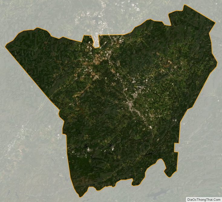
Henderson County Satellite Map
Henderson County Outline Map