Hendersonville is a city in Henderson County, North Carolina, United States. It is 22 miles (35 km) south of Asheville and is the county seat of Henderson County. Like the county, the city is named for 19th-century North Carolina Supreme Court Chief Justice Leonard Henderson.
The population was 13,137 at the 2010 census and was estimated in 2019 to be 14,157.
| Name: | Hendersonville city |
|---|---|
| LSAD Code: | 25 |
| LSAD Description: | city (suffix) |
| State: | North Carolina |
| County: | Henderson County |
| Incorporated: | 1847 |
| Elevation: | 2,152 ft (656 m) |
| Total Area: | 7.44 sq mi (19.28 km²) |
| Land Area: | 7.41 sq mi (19.19 km²) |
| Water Area: | 0.04 sq mi (0.09 km²) |
| Total Population: | 15,137 |
| Population Density: | 2,043.61/sq mi (788.99/km²) |
| Area code: | 828 |
| FIPS code: | 3730720 |
| GNISfeature ID: | 0986616 |
| Website: | www.cityofhendersonville.org |
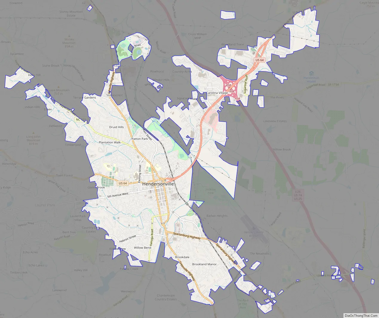
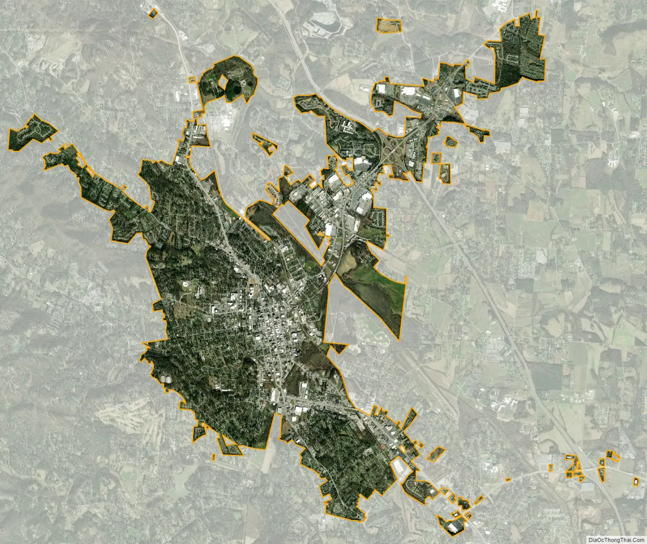
Online Interactive Map
Click on ![]() to view map in "full screen" mode.
to view map in "full screen" mode.
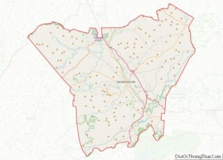
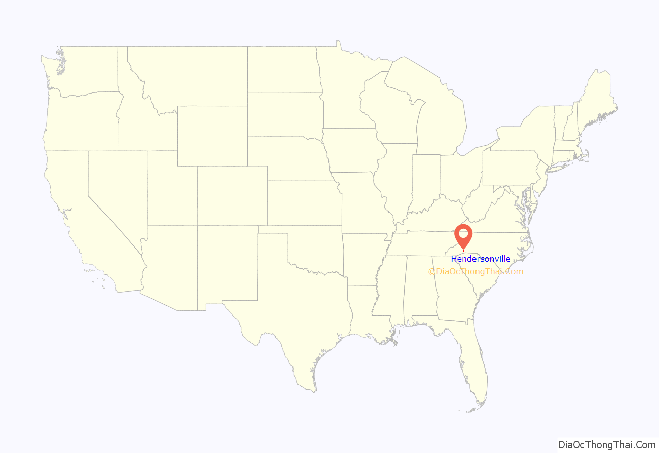
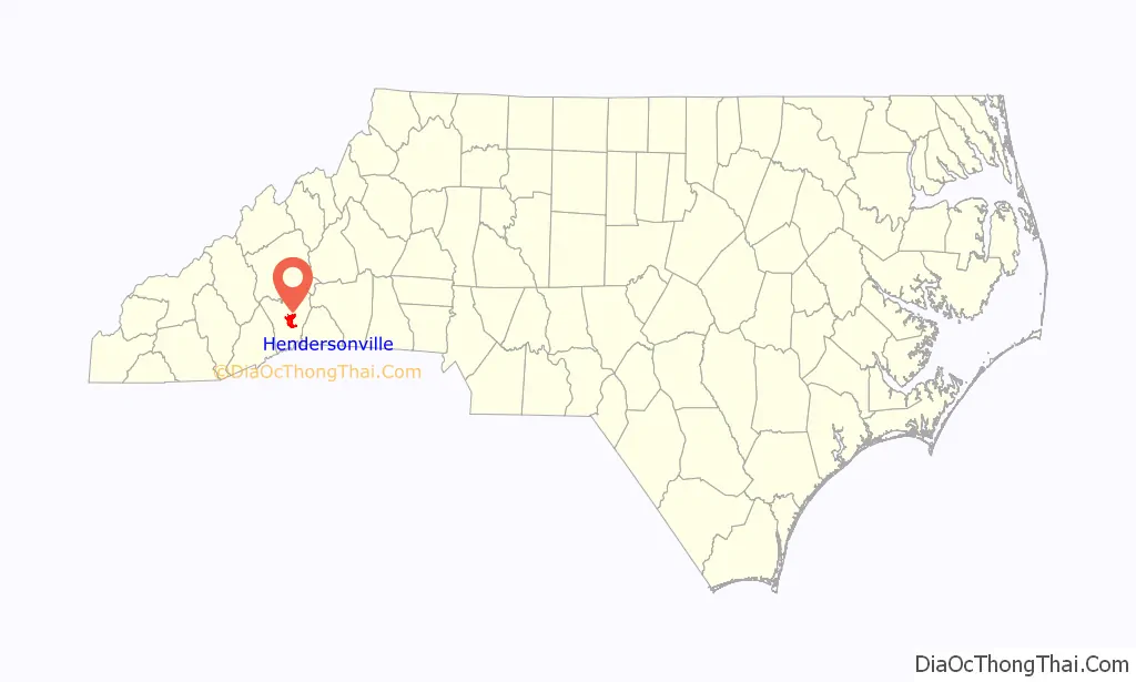
Hendersonville location map. Where is Hendersonville city?
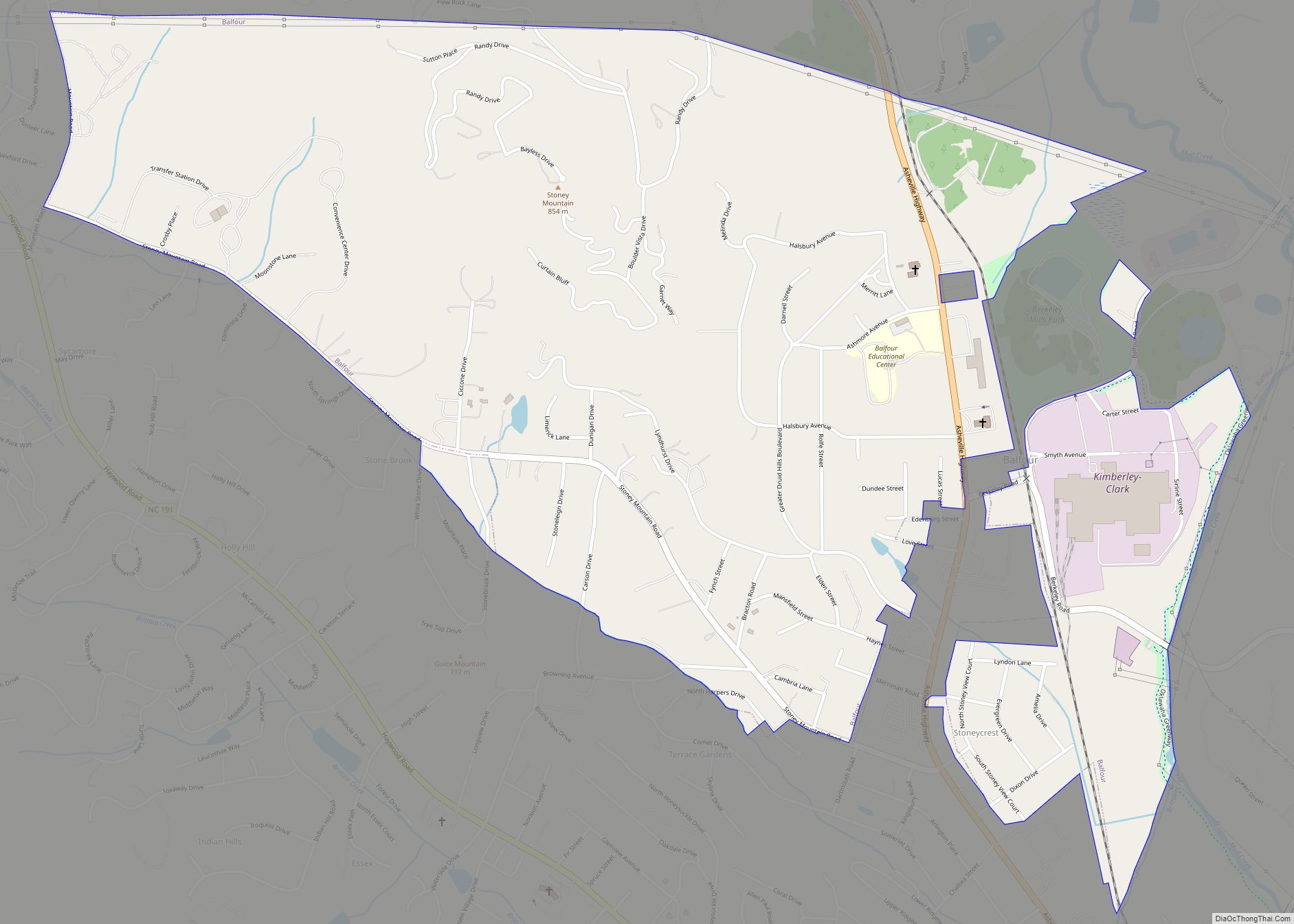
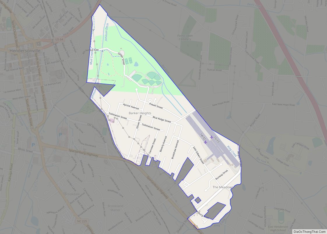
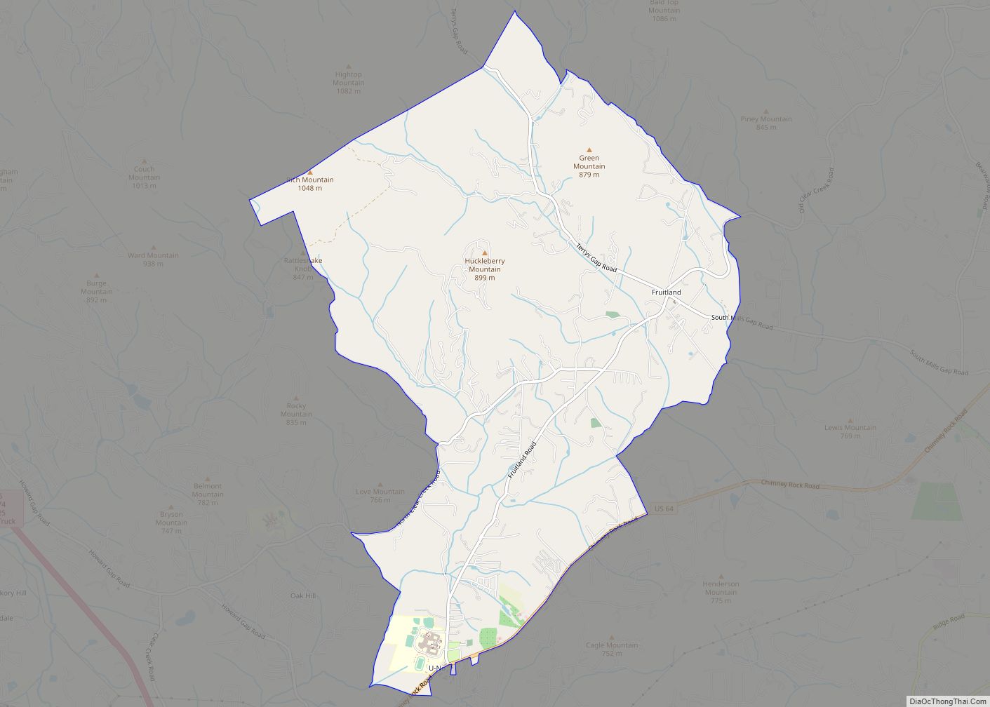
Hendersonville Road Map
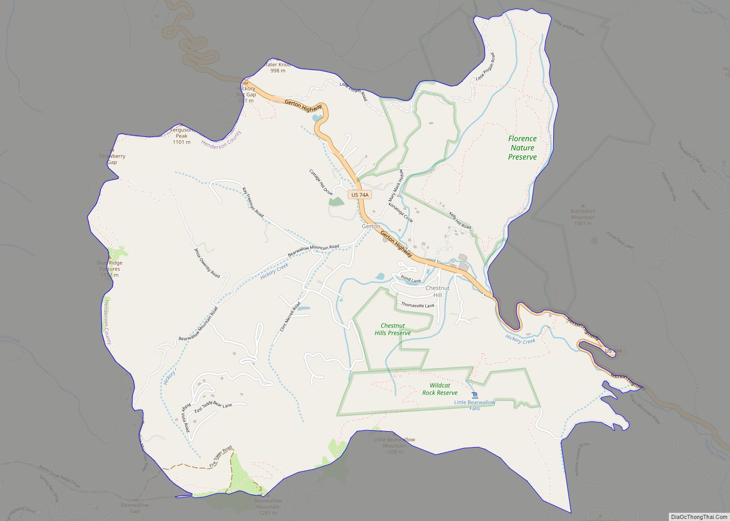
Hendersonville city Satellite Map
Geography
Hendersonville is located at the center of Henderson County, in the southern mountains of western North Carolina near the Eastern Escarpment. 35°19′14″N 82°27′42″W / 35.32056°N 82.46167°W / 35.32056; -82.46167 (35.320586, -82.461596).
Interstate 26 runs through the eastern side of the city, with access from Exit 49. U.S. Routes 25 and 74 run concurrently with I-26. The freeway leads north 22 miles (35 km) to Asheville and southeast 46 miles (74 km) to Spartanburg, South Carolina. Interstate 26 also provides direct access to the Asheville Regional Airport (AVL),which features scheduled passenger airline service operated by several major air carriers. U.S. Route 25 Business passes through the center of Hendersonville on King Street northbound and Church Street southbound. U.S. Route 64 (6th Avenue) also passes through the center of Hendersonville, leading northeast 14 miles (23 km) to Bat Cave and west 20 miles (32 km) to Brevard. U.S. Route 176 (Spartanburg Highway) leads southeast 10 miles (16 km) to Saluda.
According to the United States Census Bureau, Hendersonville has a total area of 6.9 square miles (18.0 km), of which 0.03 square miles (0.07 km), or 0.40%, is water. Mud Creek, a north-flowing tributary of the French Broad River and part of the Tennessee River watershed, is the watercourse through the city, passing east of downtown.
Climate
See also
Map of North Carolina State and its subdivision:- Alamance
- Alexander
- Alleghany
- Anson
- Ashe
- Avery
- Beaufort
- Bertie
- Bladen
- Brunswick
- Buncombe
- Burke
- Cabarrus
- Caldwell
- Camden
- Carteret
- Caswell
- Catawba
- Chatham
- Cherokee
- Chowan
- Clay
- Cleveland
- Columbus
- Craven
- Cumberland
- Currituck
- Dare
- Davidson
- Davie
- Duplin
- Durham
- Edgecombe
- Forsyth
- Franklin
- Gaston
- Gates
- Graham
- Granville
- Greene
- Guilford
- Halifax
- Harnett
- Haywood
- Henderson
- Hertford
- Hoke
- Hyde
- Iredell
- Jackson
- Johnston
- Jones
- Lee
- Lenoir
- Lincoln
- Macon
- Madison
- Martin
- McDowell
- Mecklenburg
- Mitchell
- Montgomery
- Moore
- Nash
- New Hanover
- Northampton
- Onslow
- Orange
- Pamlico
- Pasquotank
- Pender
- Perquimans
- Person
- Pitt
- Polk
- Randolph
- Richmond
- Robeson
- Rockingham
- Rowan
- Rutherford
- Sampson
- Scotland
- Stanly
- Stokes
- Surry
- Swain
- Transylvania
- Tyrrell
- Union
- Vance
- Wake
- Warren
- Washington
- Watauga
- Wayne
- Wilkes
- Wilson
- Yadkin
- Yancey
- Alabama
- Alaska
- Arizona
- Arkansas
- California
- Colorado
- Connecticut
- Delaware
- District of Columbia
- Florida
- Georgia
- Hawaii
- Idaho
- Illinois
- Indiana
- Iowa
- Kansas
- Kentucky
- Louisiana
- Maine
- Maryland
- Massachusetts
- Michigan
- Minnesota
- Mississippi
- Missouri
- Montana
- Nebraska
- Nevada
- New Hampshire
- New Jersey
- New Mexico
- New York
- North Carolina
- North Dakota
- Ohio
- Oklahoma
- Oregon
- Pennsylvania
- Rhode Island
- South Carolina
- South Dakota
- Tennessee
- Texas
- Utah
- Vermont
- Virginia
- Washington
- West Virginia
- Wisconsin
- Wyoming