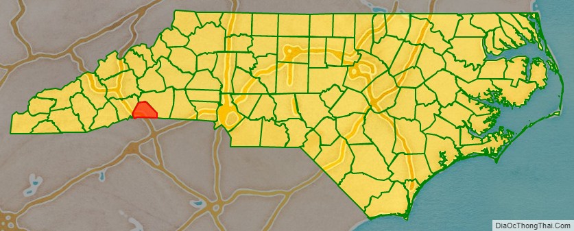
Polk County is a county located in the U.S. state of North Carolina. As of the 2020 census, the population was 19,328. Its county seat is Columbus. The county was formed in 1855 from parts of Henderson and Rutherford counties. It was named for William Polk, a colonel in the American Revolutionary War. The Tryon International Equestrian Center, close to the community of Mill Spring was the location of the 2018 FEI World Equestrian Games.
| Name: | Polk County |
|---|---|
| FIPS code: | 37-149 |
| State: | North Carolina |
| Founded: | 1855 |
| Named for: | Colonel William Polk |
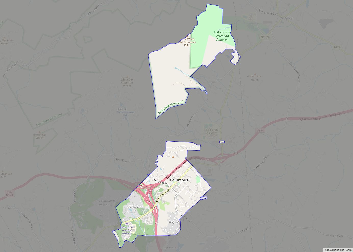
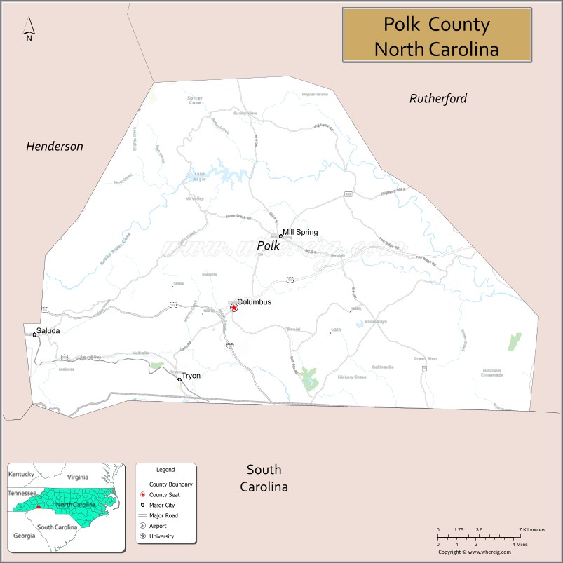
| Seat: | Columbus |
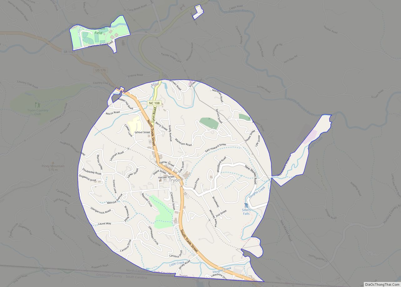
| Largest town: | Tryon |
| Total Area: | 239 sq mi (620 km²) |
| Land Area: | 238 sq mi (620 km²) |
| Total Population: | 19,656 |
| Population Density: | 82.6/sq mi (31.9/km²) |
| Time zone: | UTC−5 (Eastern) |
| Summer Time Zone (DST): | UTC−4 (EDT) |
| Website: | www.polknc.gov |
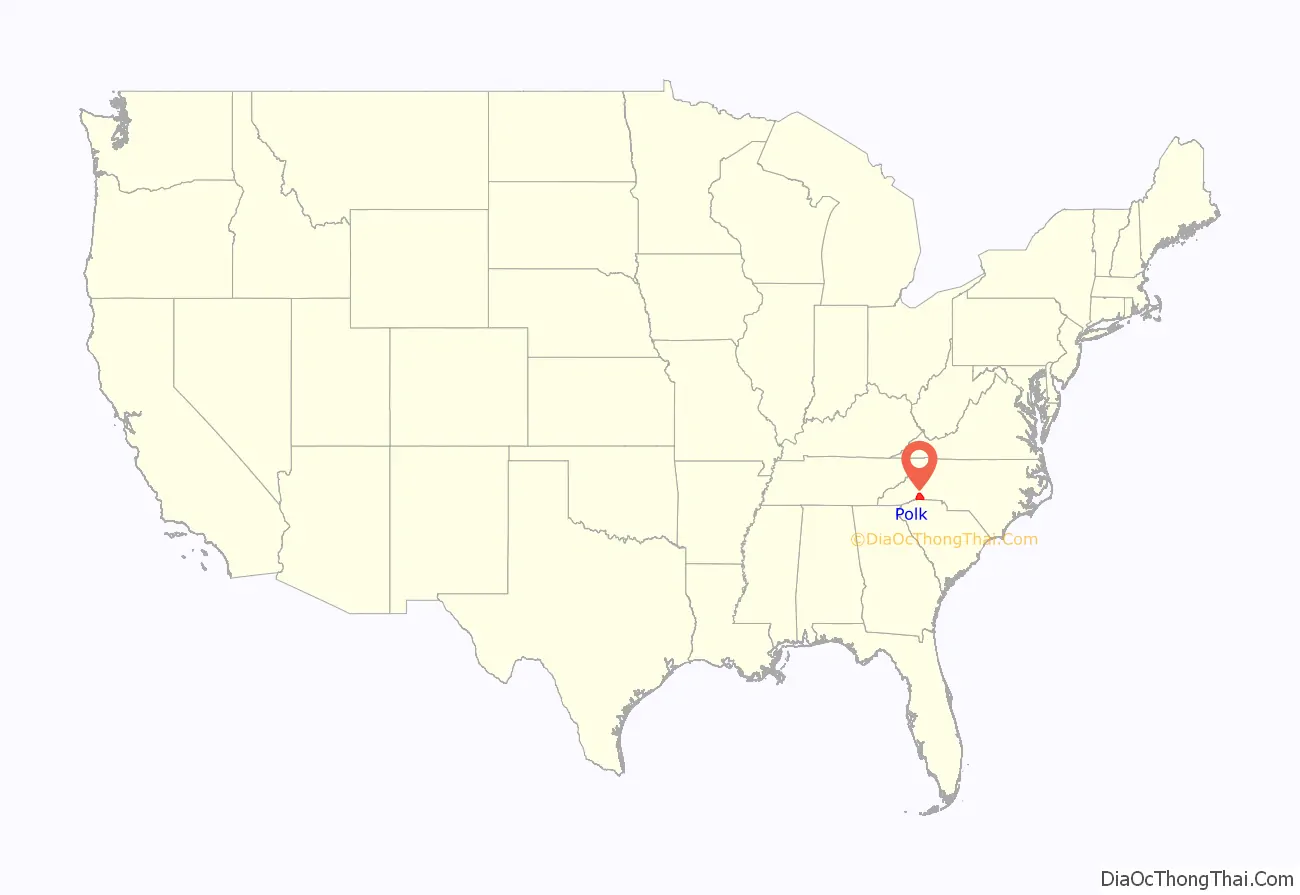
Polk County location map. Where is Polk County?
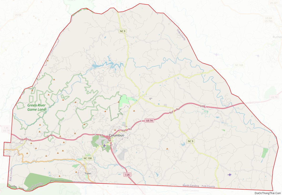
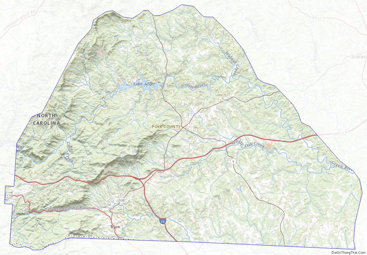
Polk County Road Map
Geography
According to the U.S. Census Bureau, the county has a total area of 239 square miles (620 km), of which 238 square miles (620 km) is land and 0.7 square miles (1.8 km) (0.3%) is water. It is the fifth-smallest county in North Carolina by total area.
The county’s largest body of water is Lake Adger, located about 5 miles (8.0 km) north of Columbus. Lake Adger is a reservoir formed by the damming of the Green River, which flows from west to east across the county. The northern extent of the river’s watershed forms the northern border of the county.
The elevation in the county ranges from just under 800 feet (240 m) near the confluence of the Green River and Broad River to over 3,200 feet (980 m) on Tryon Peak and Wildcat Spur, the highest peak in the county. Polk County is divided into two physiographic regions; the Blue Ridge Mountains in the western third of the county and Piedmont for the eastern two-thirds. Since it is in a transition zone between the two regions, Polk County is often referred to as being in the foothills.
State and local protected areas
- Anne Elizabeth Suratt Nature Center
- Bradley Nature Preserve at Alexander’s Ford (part)
- Chimney Rock State Park (part)
- Green River Game Lands (part)
- Shunkawauken Falls
Major water bodies
- Broad River
- Green River
- Hughes Creek
- Lake Adger
- Little White Oak Creek
- Ostin Creek
- Walnut Creek
- White Oak Creek
Adjacent counties
- Rutherford County – northeast
- Spartanburg County, South Carolina – south-southeast
- Greenville County, South Carolina – south-southwest
- Henderson County – west
Major highways
- I-26
- US 74
- US 176
- NC 9
- NC 108
The interchange for I-26 and the US 74 freeway is located in Columbus. Interstate 26 provides Polk County with access to Asheville and Spartanburg, SC.
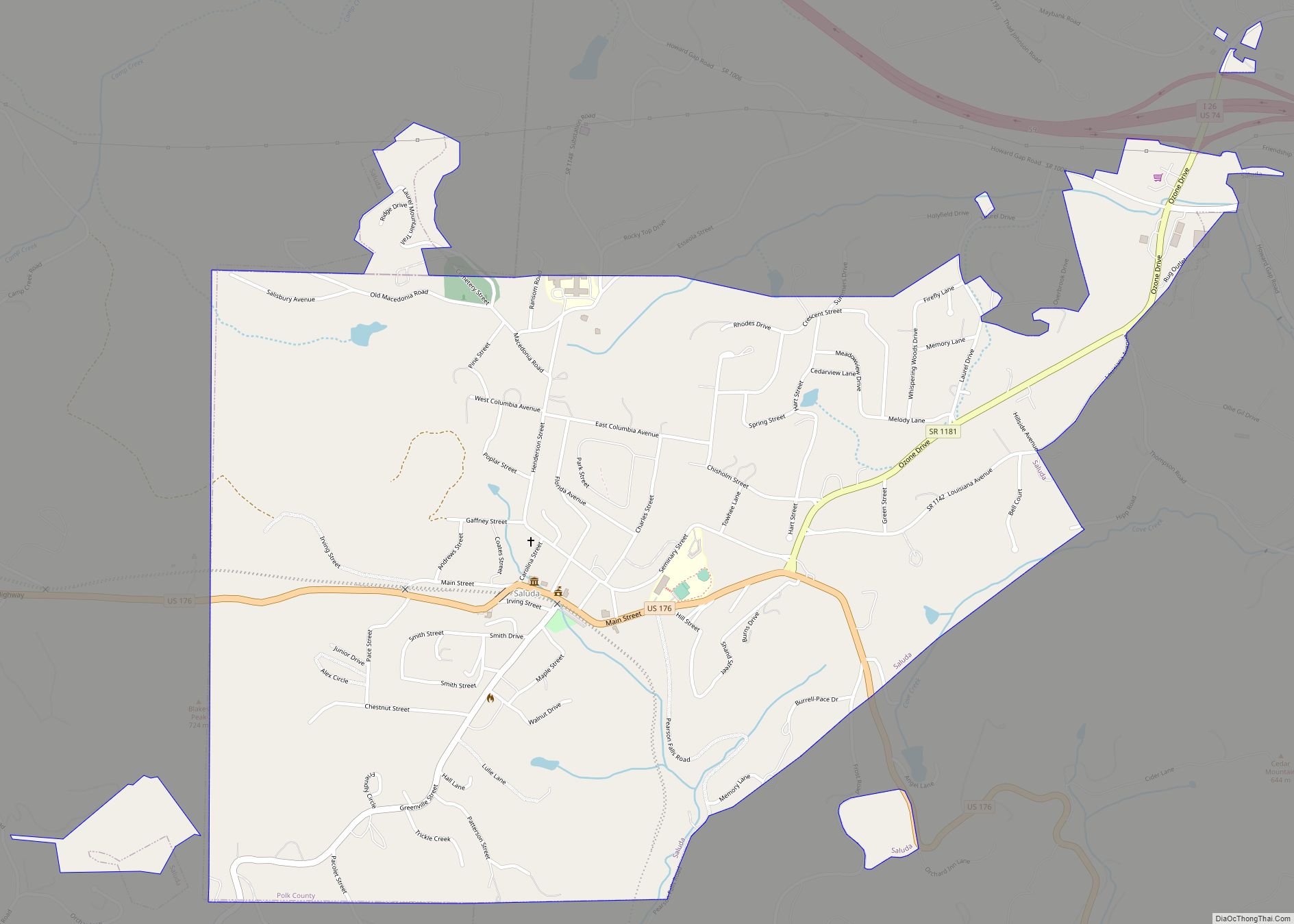
Polk County is also served by an additional non-freeway U.S. Highway: US 176. This was the primary highway linking Saluda and Tryon to Hendersonville and Spartanburg, S.C. prior to the delayed completion of I-26 in 1976. Two North Carolina routes, NC 108 and NC 9, traverse the county as well. NC 108 begins in Rutherfordton and travels west through Columbus and ends at US 176 in Tryon. Oriented north-to-south, NC 9 connects Black Mountain and Lake Lure to Spartanburg and points southeast via Polk County. NC 108 and NC 9 intersect at the unincorporated town of Mill Spring.
Polk County and Saluda are infamous among railroad enthusiasts for the Saluda Grade, the steepest standard-gauge mainline railway grade in the United States. Norfolk Southern suspended freight traffic indefinitely along this route in December 2001. The track remains in place, but are cut near Flat Rock, North Carolina and Landrum, South Carolina.
Polk County Topographic Map
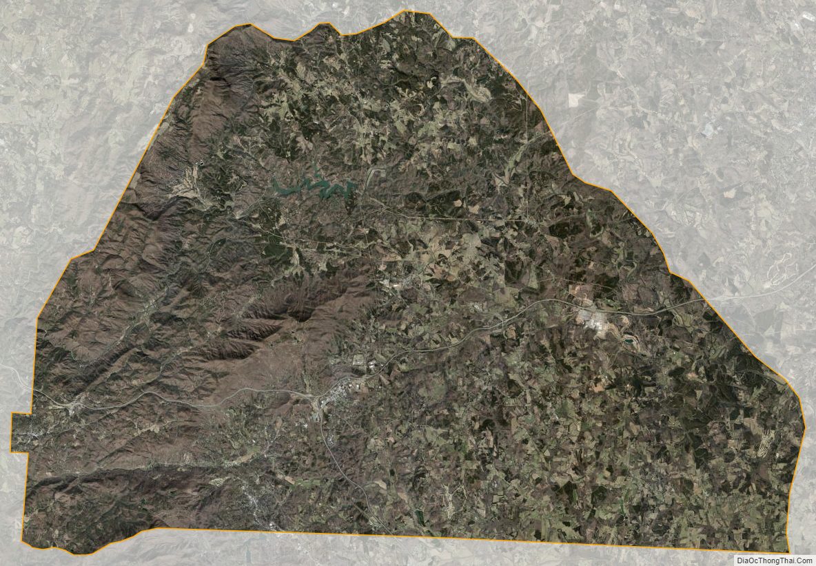
Polk County Satellite Map
Polk County Outline Map