Highlands County is a county located in the Florida Heartland region of the U.S. state of Florida. As of the 2020 census, the population was 101,235. Its county seat is Sebring.
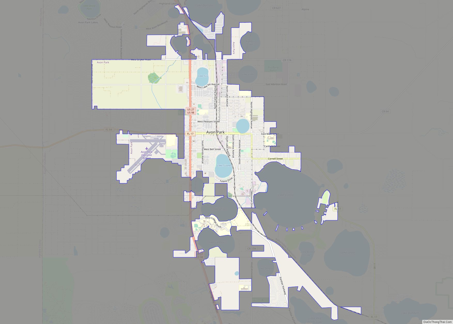
Highlands County comprises the Sebring-Avon Park, FL Metropolitan Statistical Area.
| Name: | Highlands County |
|---|---|
| FIPS code: | 12-055 |
| State: | Florida |
| Founded: | April 23, 1921 |
| Named for: | county’s terrain |
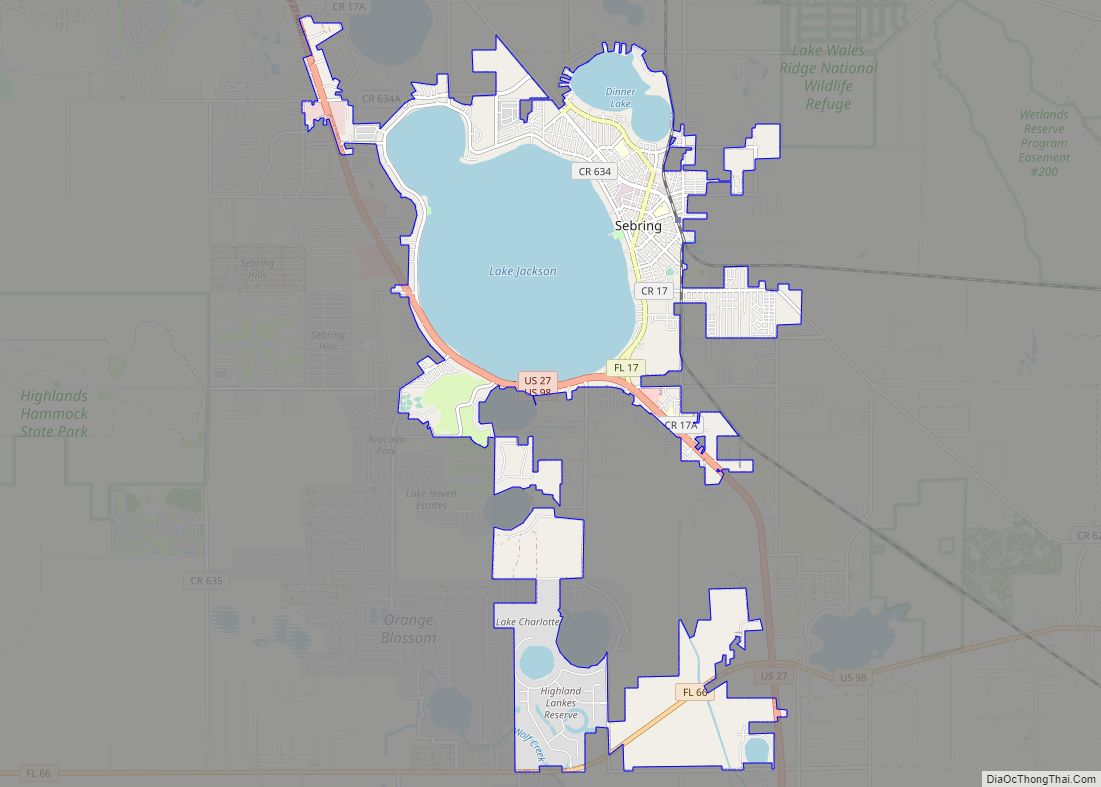
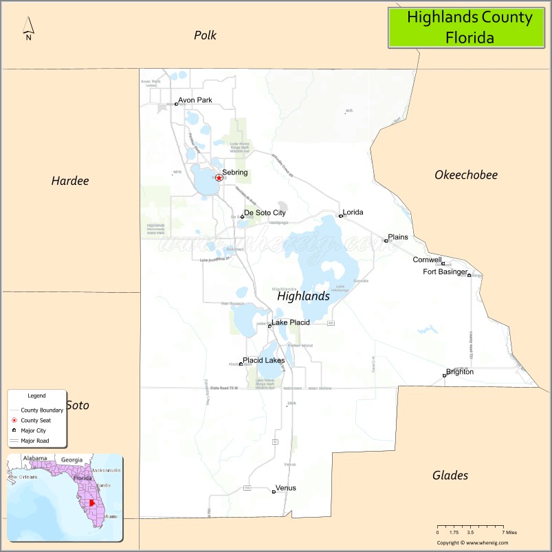
| Seat: | Sebring |
| Largest city: | Sebring |
| Total Area: | 1,106 sq mi (2,860 km²) |
| Land Area: | 1,017 sq mi (2,630 km²) |
| Total Population: | 101,235 |
| Population Density: | 101/sq mi (39/km²) |
| Time zone: | UTC−5 (Eastern) |
| Summer Time Zone (DST): | UTC−4 (EDT) |
| Website: | www.hcbcc.net |
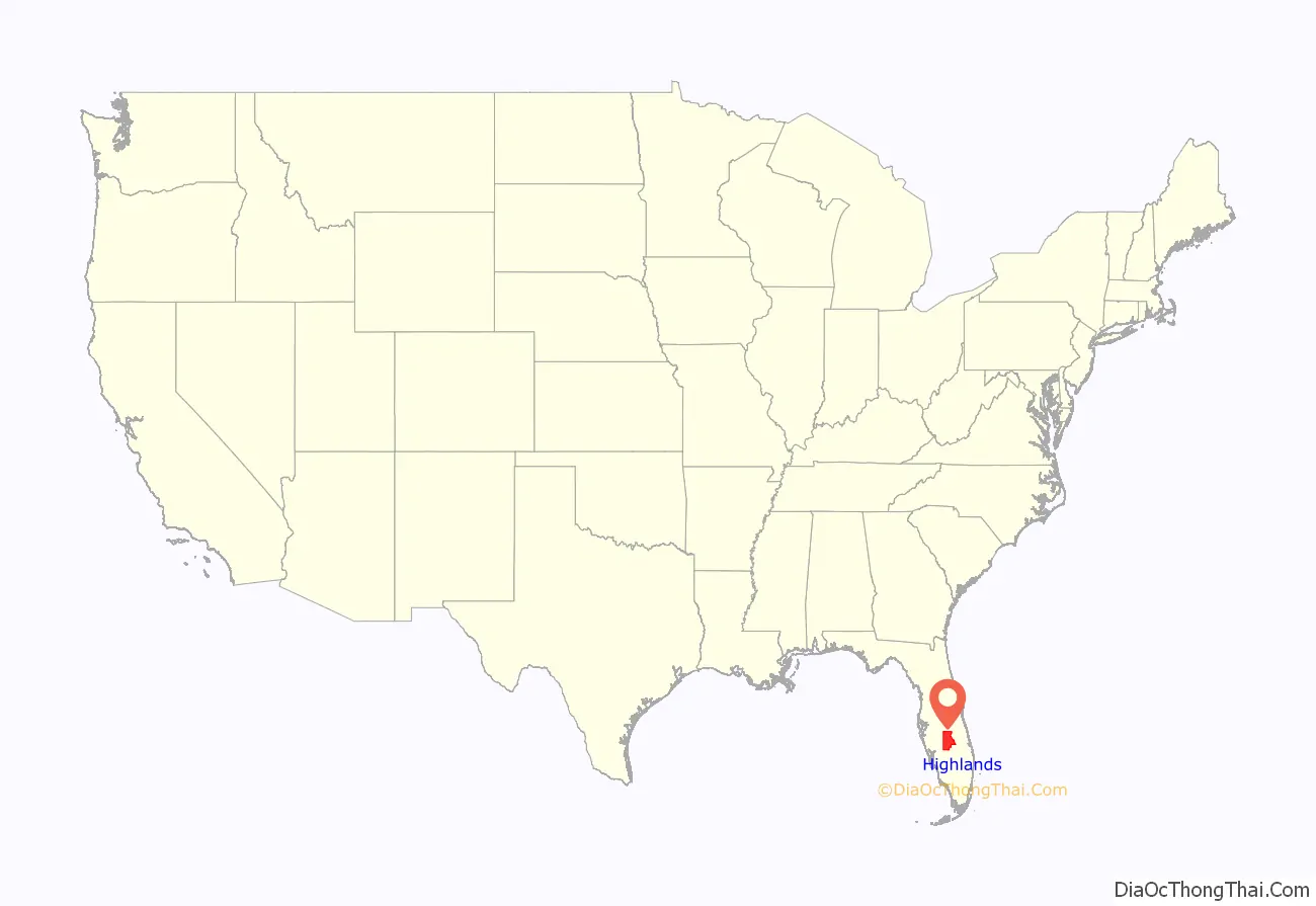
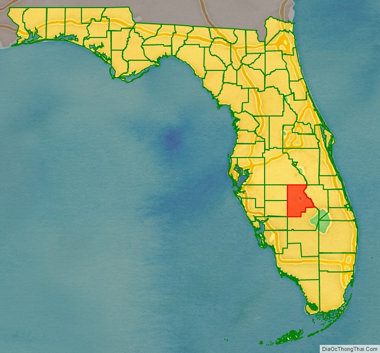
Highlands County location map. Where is Highlands County?
History
Highlands County was created in 1921 along with Charlotte, Glades, and Hardee, when they were separated from DeSoto County. It was named for the terrain of the county. It boasted the fifth-oldest population in America in 2012.
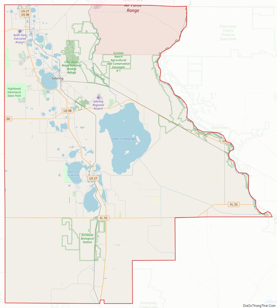
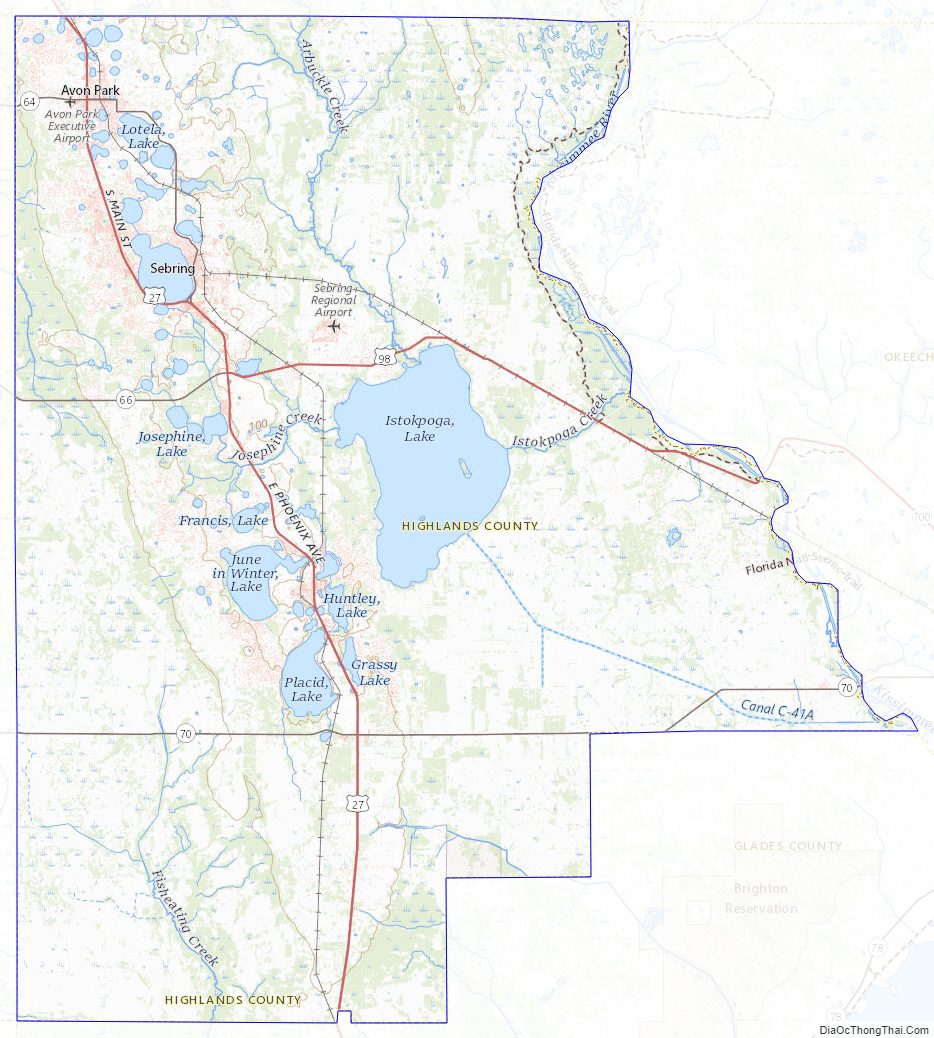
Highlands County Road Map
Geography
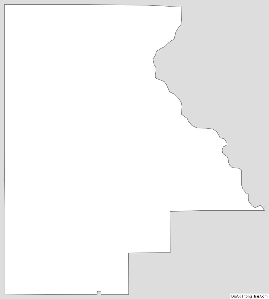
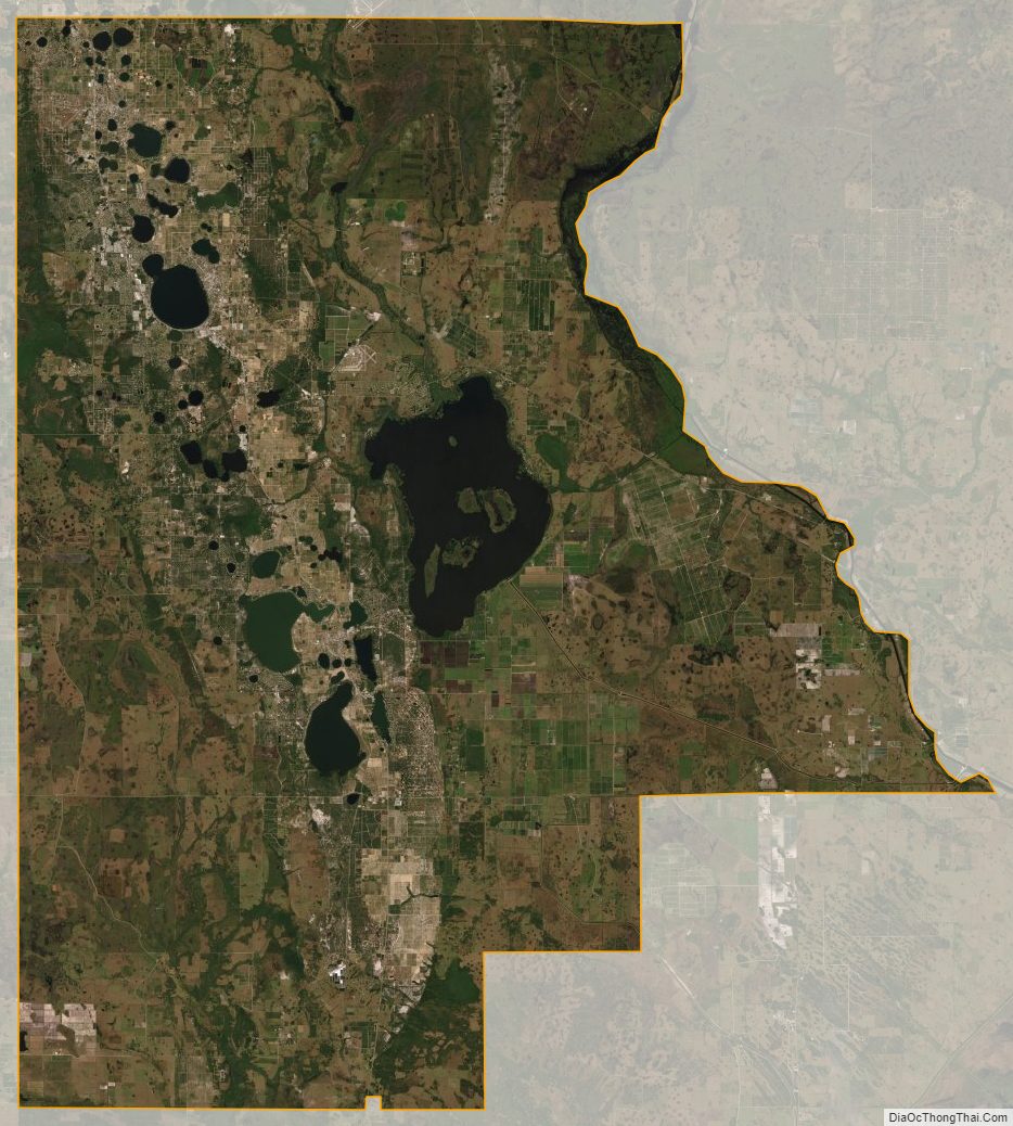
According to the U.S. Census Bureau, the county has a total area of 1,106 square miles (2,860 km), of which 1,017 square miles (2,630 km) is land and 89 square miles (230 km) (8.1%) is water. In area, it is the 14th largest county in Florida. Highlands County is bounded on the east by the Kissimmee River. Lake Istokpoga, the largest lake in the county, is connected to the Kissimmee River by two canals; the Istokpoga canal, and the C41 (outflow) canal.
Adjacent counties
- Osceola County, Florida – northeast
- Okeechobee County, Florida – east
- Glades County, Florida – south
- Charlotte County, Florida – southwest
- DeSoto County, Florida – west
- Hardee County, Florida – west
- Polk County, Florida – north
National protected area
- Lake Wales Ridge National Wildlife Refuge (part)
Highlands County Topographic Map
Highlands County Satellite Map
Highlands County Outline Map