Charlotte County is a U.S. county located in southwestern Florida. As of the 2020 census, the population was 186,847. Its county seat is Punta Gorda.
Charlotte County comprises the Punta Gorda, FL Metropolitan Statistical Area, which is included in the North Port–Sarasota, FL Combined Statistical Area.
| Name: | Charlotte County |
|---|---|
| FIPS code: | 12-015 |
| State: | Florida |
| Founded: | April 23, 1921 |
| Named for: | Charlotte Harbor |
| Seat: | Punta Gorda |
| Total Area: | 858 sq mi (2,220 km²) |
| Land Area: | 680 sq mi (1,800 km²) |
| Total Population: | 186,847 |
| Population Density: | 275/sq mi (106/km²) |
| Time zone: | UTC−5 (Eastern) |
| Summer Time Zone (DST): | UTC−4 (EDT) |
| Website: | www.charlottecountyfl.gov |
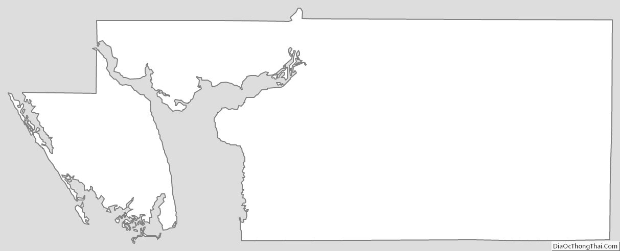
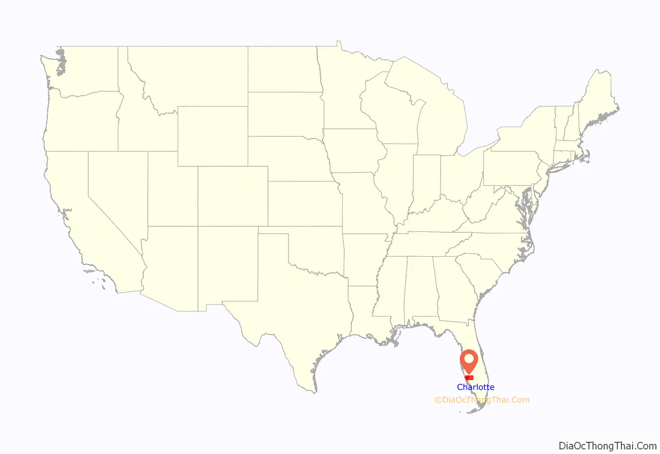
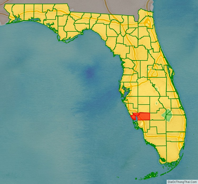
Charlotte County location map. Where is Charlotte County?
History
Charlotte County was established April 23, 1921. It was named for the Bay of Charlotte Harbor. “Charlotte” came from “Carlota” (Spanish). In 1565, the Spanish named “Bahia de Carlota,” followed by the English in 1775 who named the area Charlotte Harbor in tribute to the Queen Charlotte Sophia, wife of King George III. Punta Gorda is the only incorporated city in Charlotte County.
On August 13, 2004 Charlotte County, Hurricane Charley came ashore near Port Charlotte as a Category 4 hurricane. On September 28, 2022, Charlotte County was struck by Hurricane Ian, which made a second landfall near the city of Punta Gorda, Florida.
Historic places
Historic places in Charlotte County include the Old Charlotte County Courthouse as well as those on the List of Registered Historic Places in Charlotte County.
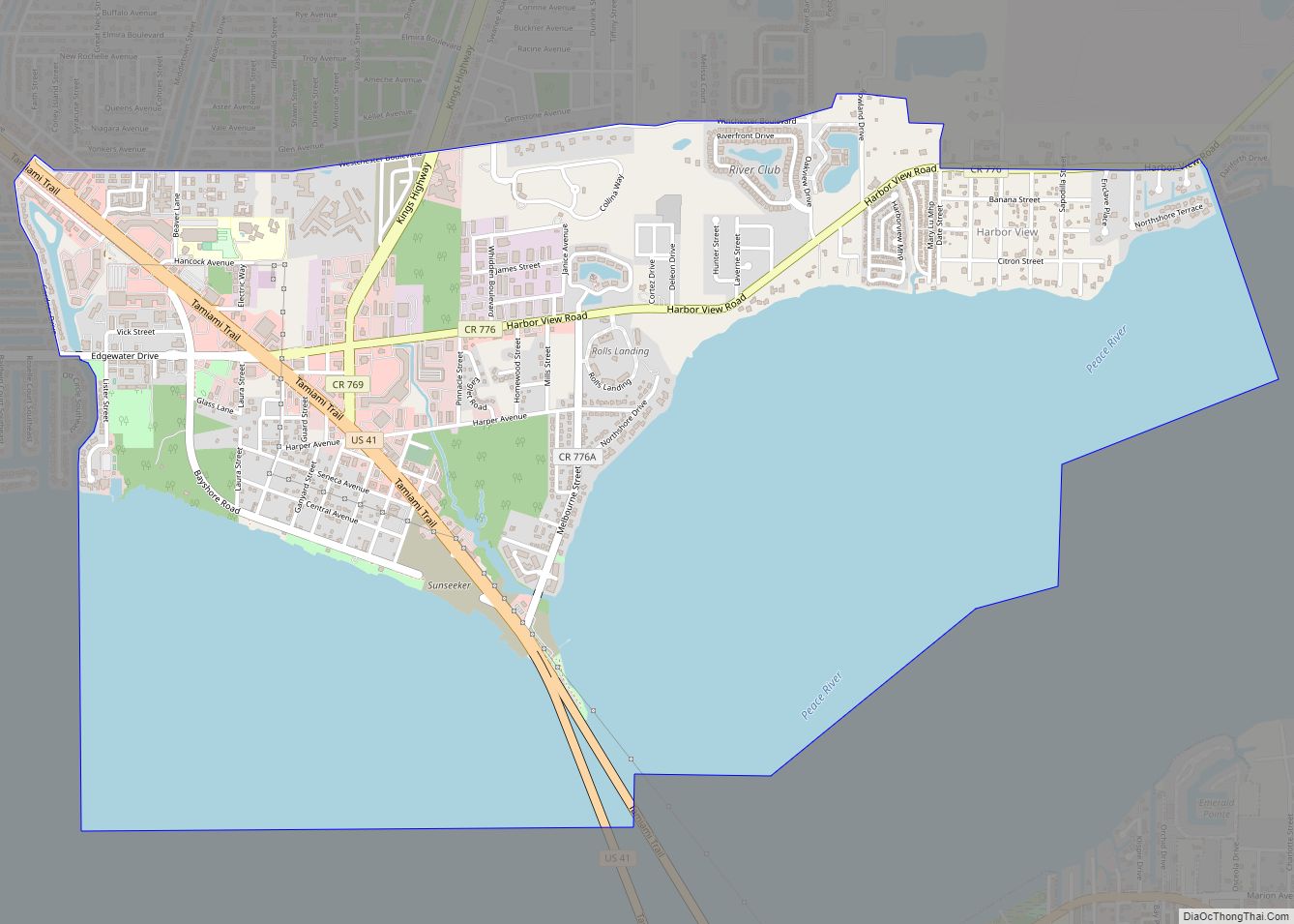
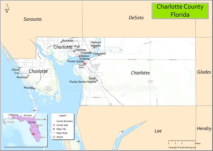
Charlotte County Road Map

Geography
According to the U.S. Census Bureau, the county has a total area of 858 square miles (2,220 km), of which 680 square miles (1,800 km) is land and 178 square miles (460 km) (20.7%) is water. Charlotte Harbor Estuary is an important natural preserve and one of the most productive in Florida.
Adjacent counties
- Sarasota County – northwest
- DeSoto County – north
- Highlands County – northeast
- Glades County – east
- Hendry County – southeast
- Lee County – south
National protected area
- Island Bay National Wildlife Refuge
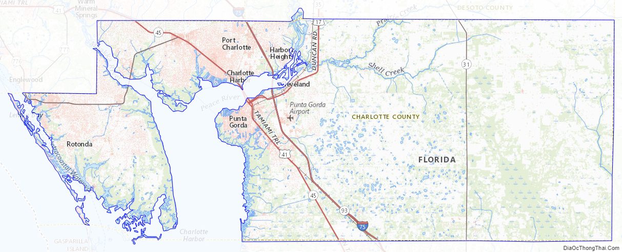
Charlotte County Topographic Map
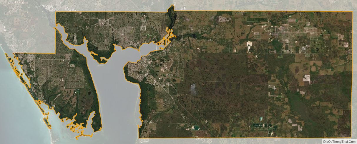
Charlotte County Satellite Map
Charlotte County Outline Map