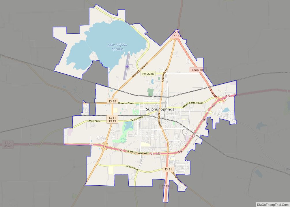
Hopkins County is a county located in the U.S. state of Texas. As of the 2020 census, its population was 36,787. Its county seat is Sulphur Springs. Hopkins County is named for the family of David Hopkins, an early settler in the area. Hopkins County comprises the Sulphur Springs, TX Micropolitan Statistical Area. Hopkins County was once known as the Dairy Capital of Texas. Although dairy farms declined in the area in the late 1990s there are still a number of these located there. The Southwest Dairy Museum is located in Sulphur Springs.
| Name: | Hopkins County |
|---|---|
| FIPS code: | 48-223 |
| State: | Texas |
| Founded: | 1846 |
| Seat: | Sulphur Springs |
| Largest city: | Sulphur Springs |
| Total Area: | 793 sq mi (2,050 km²) |
| Land Area: | 767 sq mi (1,990 km²) |
| Total Population: | 36,787 |
| Population Density: | 46/sq mi (18/km²) |
| Time zone: | UTC−6 (Central) |
| Summer Time Zone (DST): | UTC−5 (CDT) |
| Website: | www.hopkinscountytx.org |
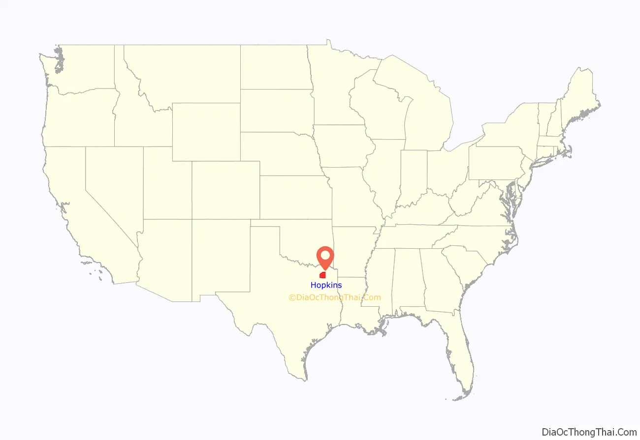
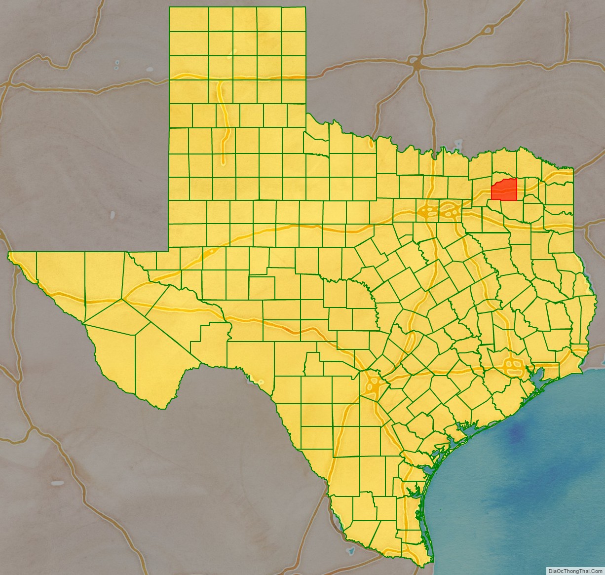
Hopkins County location map. Where is Hopkins County?
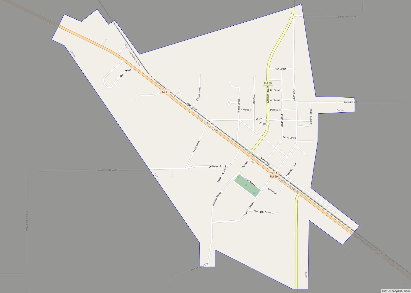
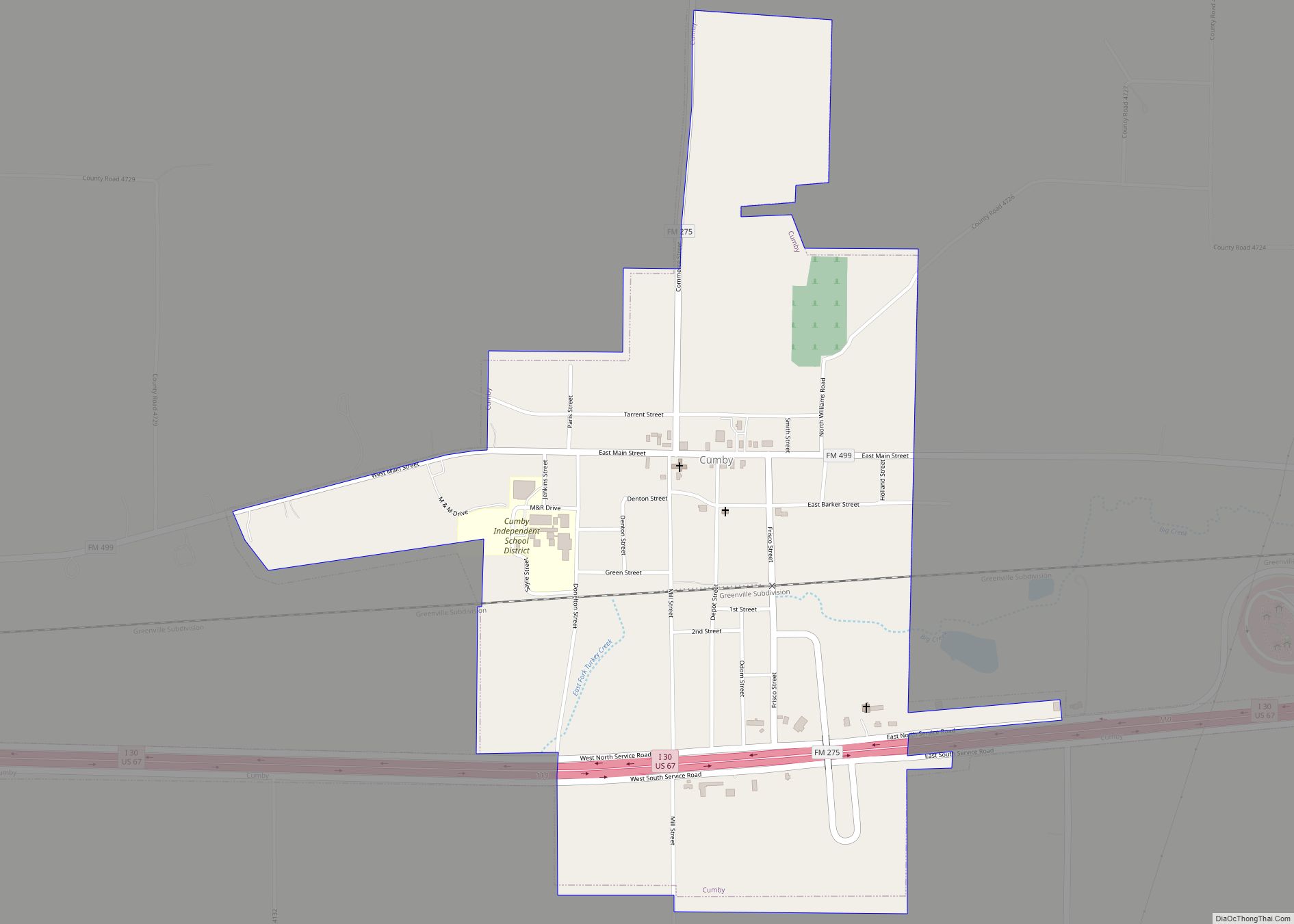
Hopkins County Road Map
Geography
According to the U.S. Census Bureau, the county has a total area of 793 square miles (2,050 km), of which 767 square miles (1,990 km) is land and 26 square miles (67 km) (3.2%) is water.
Major highways
- Interstate 30
- U.S. Highway 67
- State Highway 11
- State Highway 19
- State Highway 154
- State Loop 301
Adjacent counties
- Delta County (north)
- Franklin County (east)
- Wood County (south)
- Rains County (southwest)
- Hunt County (west)
