Franklin County is a county located in the U.S. state of Texas. As of the 2020 census, its population was 10,359. The county seat is Mount Vernon.
| Name: | Franklin County |
|---|---|
| FIPS code: | 48-159 |
| State: | Texas |
| Founded: | March, 1875 |
| Seat: | Mount Vernon |
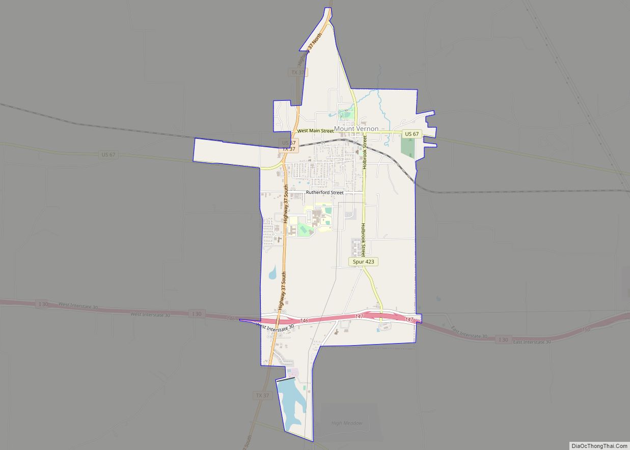
| Largest town: | Mount Vernon |
| Total Area: | 295 sq mi (760 km²) |
| Land Area: | 284 sq mi (740 km²) |
| Total Population: | 10,359 |
| Population Density: | 35/sq mi (14/km²) |
| Time zone: | UTC−6 (Central) |
| Summer Time Zone (DST): | UTC−5 (CDT) |
| Website: | www.co.franklin.tx.us |
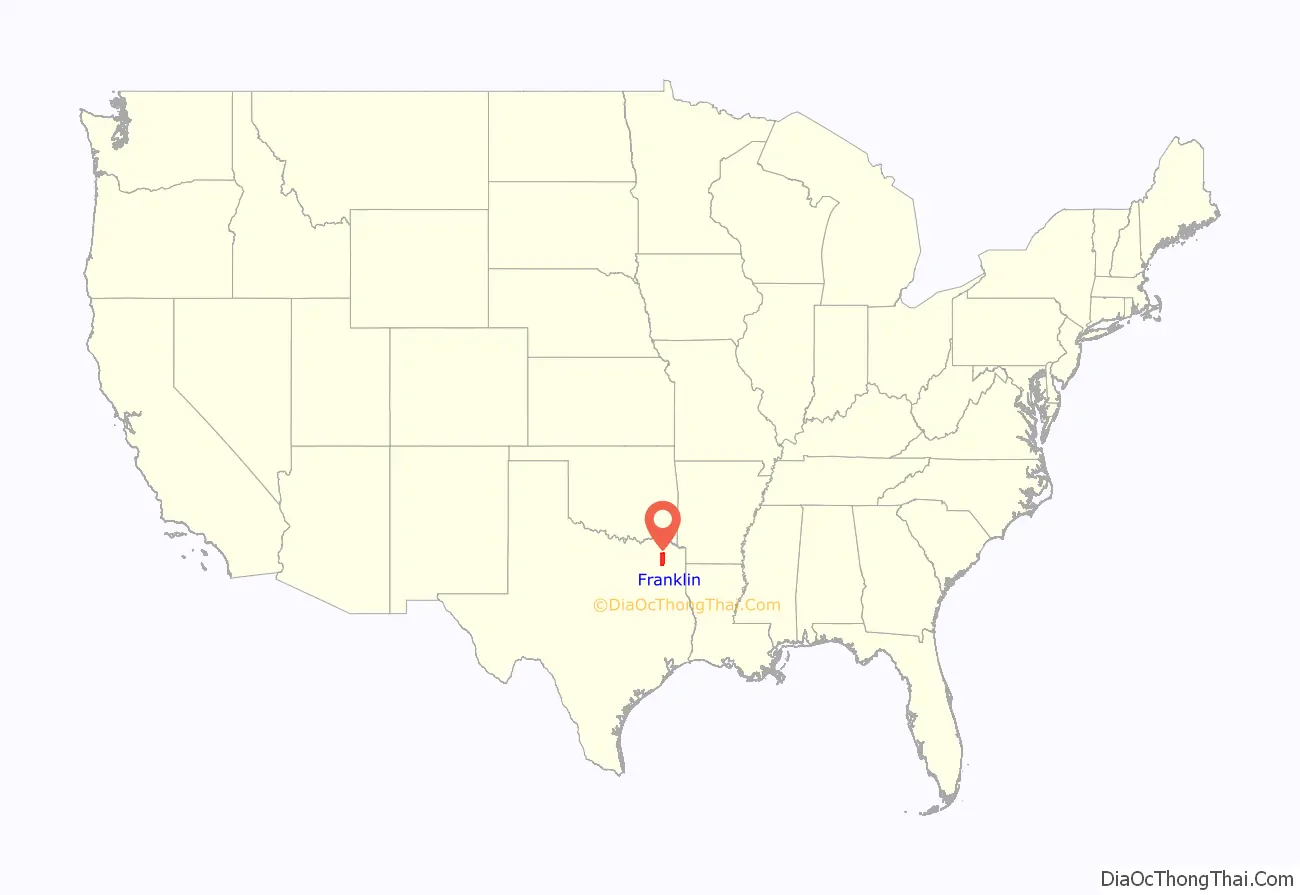
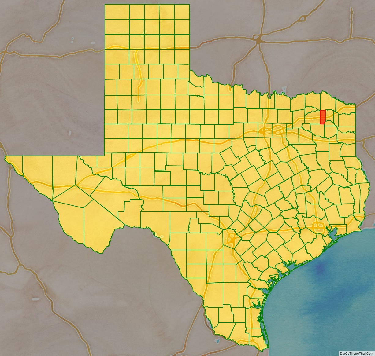
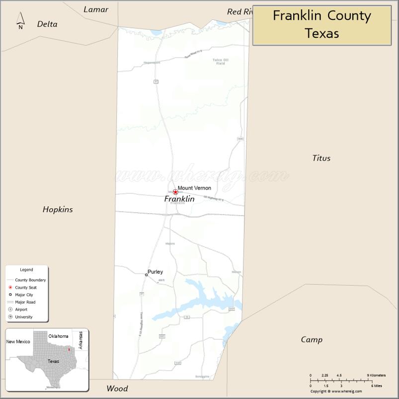
Franklin County location map. Where is Franklin County?
History
Franklin County was erected and established in 1875, four decades after the independence of Texas, from land ceded by neighboring Titus County. Although the origin of the county’s name is not recorded, it is generally believed to have been named after Judge Benjamin C. Franklin, the first appointed justice in the Republic of Texas.
There are two historic properties listed on the National Register of Historic Places in Franklin County.
Franklin County was one of the last 30 prohibition, or entirely dry, counties in the state of Texas. Citizens of its county seat, Mount Vernon, voted to allow beer and wine sales, both on and off premises in May 2013.
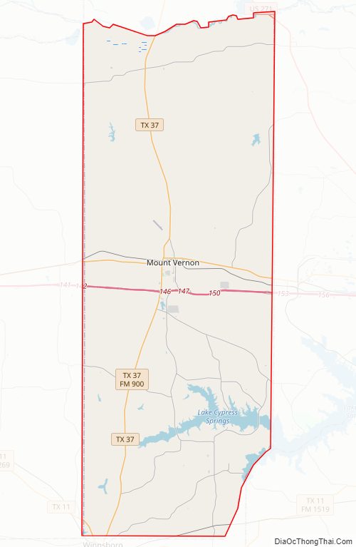
Franklin County Road Map
Geography
According to the U.S. Census Bureau, the county has a total area of 295 square miles (760 km), of which 284 square miles (740 km) is land and 10 square miles (26 km) (3.5%) is water.
Major highways
- Interstate 30
- U.S. Highway 67
- U.S. Highway 271
- State Highway 11
- State Highway 37
Adjacent counties
- Red River County (north)
- Titus County (east)
- Camp County (southeast)
- Wood County (south)
- Hopkins County (west)
- Delta County (northwest)
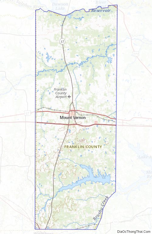
Franklin County Topographic Map
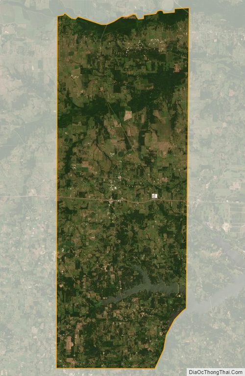
Franklin County Satellite Map
Franklin County Outline Map