Sulphur Springs is a city in and the county seat of Hopkins County, Texas, United States. As of the 2010 census, its population was 15,449. Sulphur Springs is located along the western edge of Northeast Texas.
| Name: | Sulphur Springs city |
|---|---|
| LSAD Code: | 25 |
| LSAD Description: | city (suffix) |
| State: | Texas |
| County: | Hopkins County |
| Elevation: | 502 ft (153 m) |
| Total Area: | 23.91 sq mi (61.94 km²) |
| Land Area: | 20.54 sq mi (53.20 km²) |
| Water Area: | 3.38 sq mi (8.74 km²) |
| Total Population: | 15,449 |
| Population Density: | 790.36/sq mi (305.16/km²) |
| ZIP code: | 75482-75483 |
| Area code: | 903 |
| FIPS code: | 4870904 |
| GNISfeature ID: | 1348056 |
| Website: | www.sulphurspringstx.org |
Online Interactive Map
Click on ![]() to view map in "full screen" mode.
to view map in "full screen" mode.
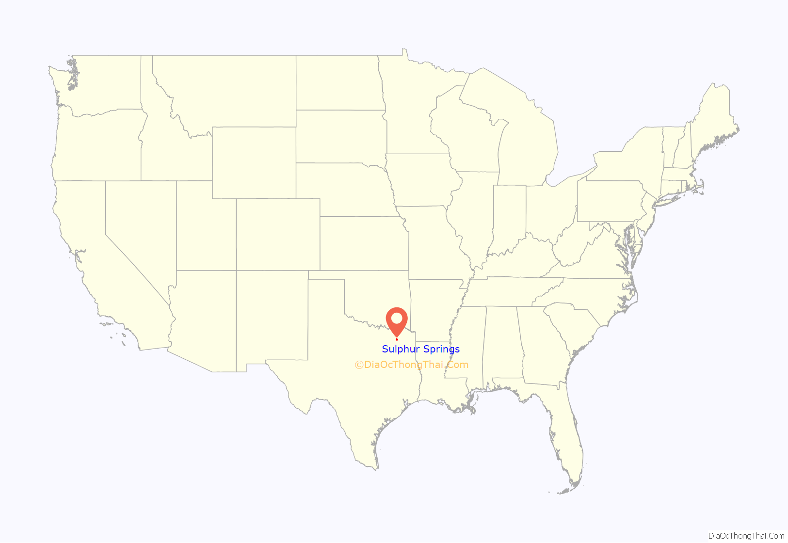
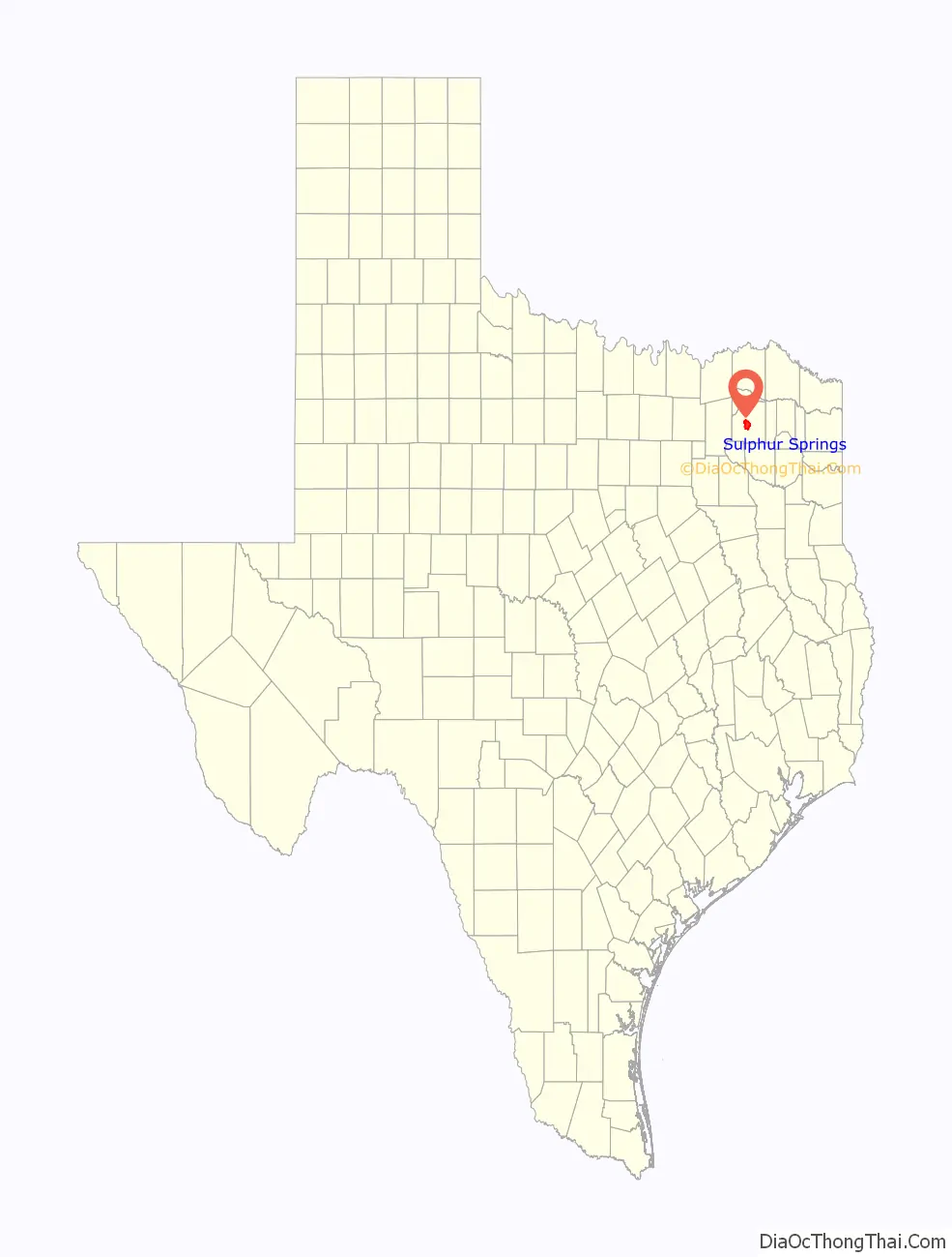
Sulphur Springs location map. Where is Sulphur Springs city?
History
Sulphur Springs was named so because when the area was first settled, springs of sulfurous water were abundant.
Eli Bib, one of the first European-American settlers, ran a store from his cabin, selling staples, whiskey, persimmon beer, and slabs of ginger cake. In 1849, Dr. and Mrs. Davis moved into the area. Dr. Davis envisioned the spot as a future city. In 1850, the residents organized the area’s first church, the Methodist Episcopal. Construction of the church was completed in 1853. In 1852, the Presbyterian Church was organized. At that time, the population of the village was 441. To serve the growing population, commodities began to be brought in from nearby Jefferson. New stores were established.
The village became a city in 1854, when the first post office was established. The city’s name was originally “Bright Star”. Mail to and from the city was delivered by the Pony Express. On May 18, 1871, the legislature moved the county seat of Hopkins County from Tarrant to Sulphur Springs, and the name “Bright Star” was removed from the postal directory.
Local government organized slowly. The first known mayor was William A. Wortham. In 1854, Wortham had bought the Texas Star press and moved to Sulphur Springs. His brother-in-law, Bill Davis, and he established the city’s first newspaper.
The county seat had numerous newspapers. Echo Publishing Company was founded in 1897. It was the first steam-powered press in Sulphur Springs. After the first plant was lost to a fire, a new plant was constructed that used gasoline as fuel. In 1884, the Sulphur Springs Enterprise was founded. In the same year, James Harvey “Cyclone” Davis, a Populist (People’s Party) US congressman, founded the Alliance Vindicator; it was published until 1901. John S. Bagwell bought the Hopkins County Echo in 1916. In 1924, the Texas Star was merged into the Daily News Telegram. The Daily News Telegram later was renamed the Daily Gazette and still later the Weekly Gazette. Eventually, all these newspapers were merged into the Sulphur Springs News-Telegram and the Hopkins County Echo, both of which still operate.
In 1857, the city set aside 10 acres (40,000 m) of land for Bright Star University. The Sulphur Springs District Conference High School began in 1877, established on Bright Star University land on College Street. In December 1882, the school became known as Central College. It was owned by the Methodist Episcopal Church. It was later renamed Eastman College and Conservatory of Music and Art under a new charter and after the leading professor. Before 1900, the college burned and Professor Eastman left the area.
The First National Bank of Sulphur Springs received its national charter in 1855. It is now known as City National Bank.
In 1857, the area’s first steam-powered factory was established by the Bell brothers. In the same year, the Morro Castle was built on North Street. Its builders remain unknown.
C. Denton was elected to lead the new city government, which was incorporated during the Reconstruction Era. During the Civil War, the town had lost its charter and had to be incorporated again by the state legislature.
In 1868, federal troops moved into Sulphur Springs and occupied the city for two years during Reconstruction, in an effort to protect freedmen after emancipation. Upon their departure and the end of the military occupation, A. J. Bridges was elected as mayor.
The construction of a railroad line from Mineola, Texas, in 1872 stimulated growth in the city. Settlers were drawn by tales of the healing powers of the city’s sulphur baths. Due to population growth, the springs of sulphur were gradually covered. None is active today. A rail line was run from Jefferson to Sulphur Springs in 1879. The St. Louis, Arkansas & Texas Railroad (Cotton Belt) was built through Sulphur Springs in 1887 on its way to Commerce and Sherman. The next year, the line was completed to Fort Worth, connecting the city to a major market. In 1891, the bankrupt railroad was sold to Jay Gould interests and renamed the St. Louis Southwestern Railway.
An ice plant was built in 1887. The city’s courthouse, which is still used today, was constructed in 1895. In 1904, wells were dug to supply the city with water. In the same year, a long-distance telephone line was run to nearby Greenville. In 1889, the City National Bank was organized.
After World War II, the city adopted a new council-manager type of government. It stimulated new programs. Industrialization brought new plants and factories to the city. The population has grown as a result, to an estimate of more than 16,000 in 2016.
The dairy industry was a major component of the local economy from the late 1940s through 1995. The Southwest Dairy Museum in the city features artifacts on the history of the dairy industry. The industry began to shrink largely because of declining milk prices, higher labor costs, and large corporations operating industrial-scale dairies.
Large industries in the area today include Pinnacle, Ocean Spray, Grocery Supply, Jeld-Wen, Clayton Home Mfg., Flowserve, and others. For several months in 2012, Hopkins County enjoyed a very low unemployment rate around 4.5% and over 500 jobs were added.
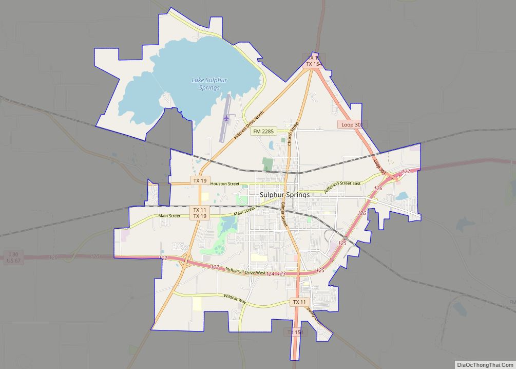
Sulphur Springs Road Map
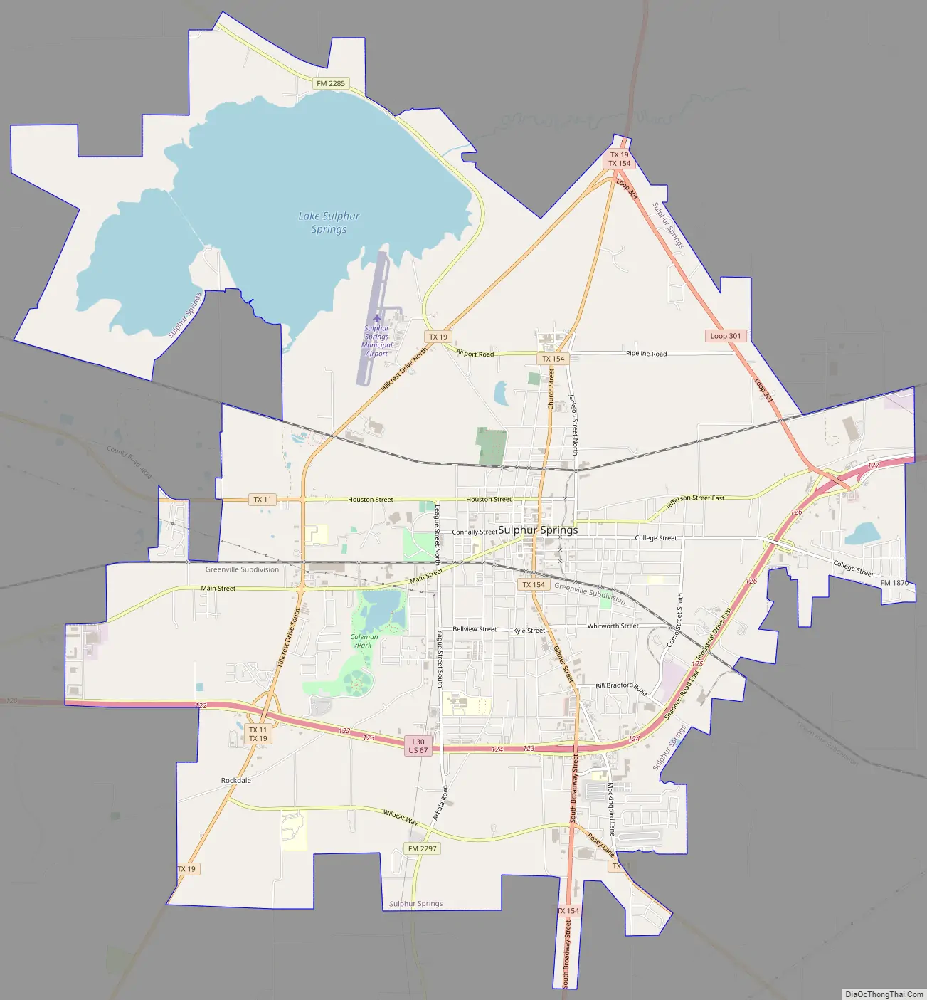
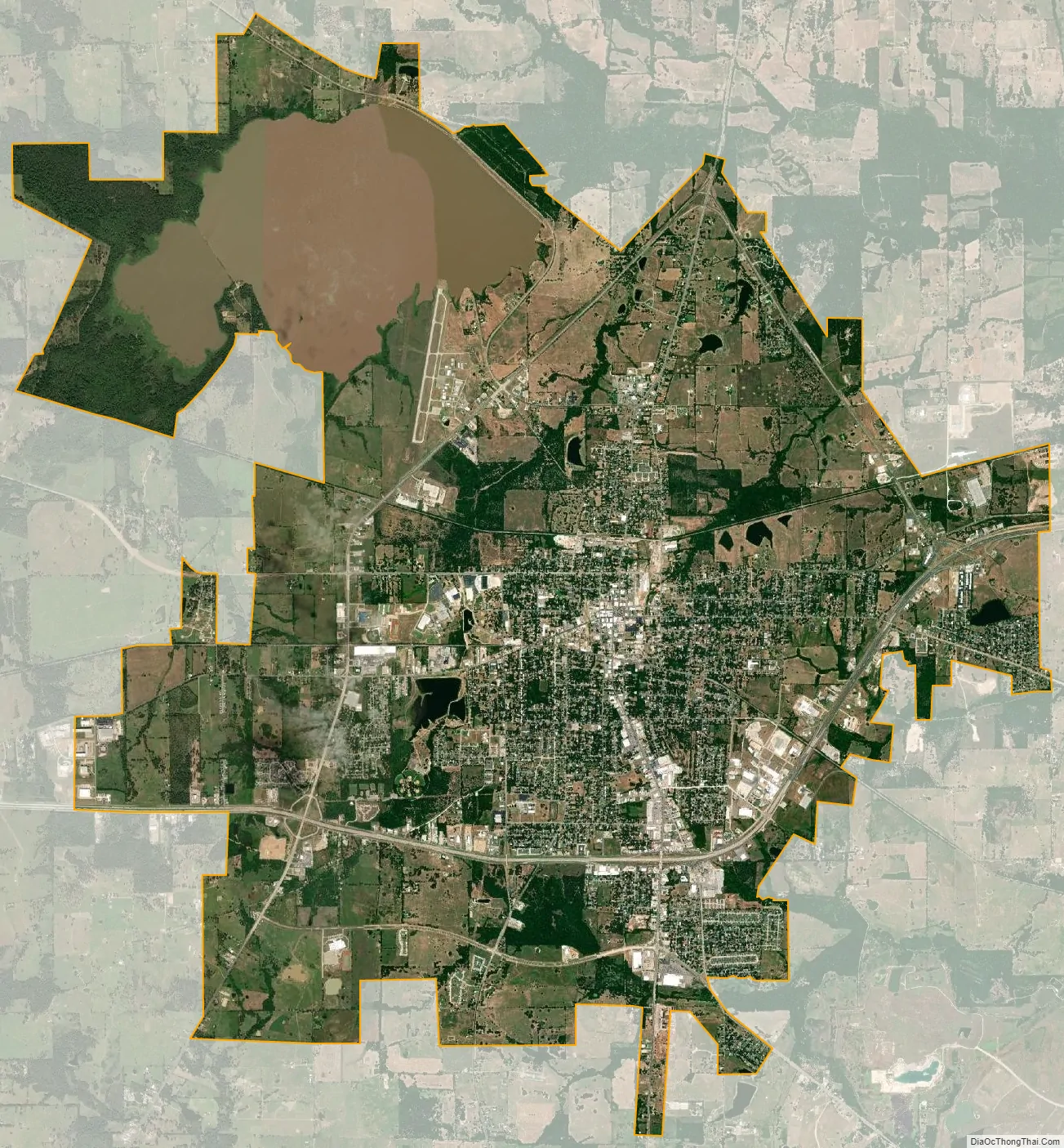
Sulphur Springs city Satellite Map
Geography
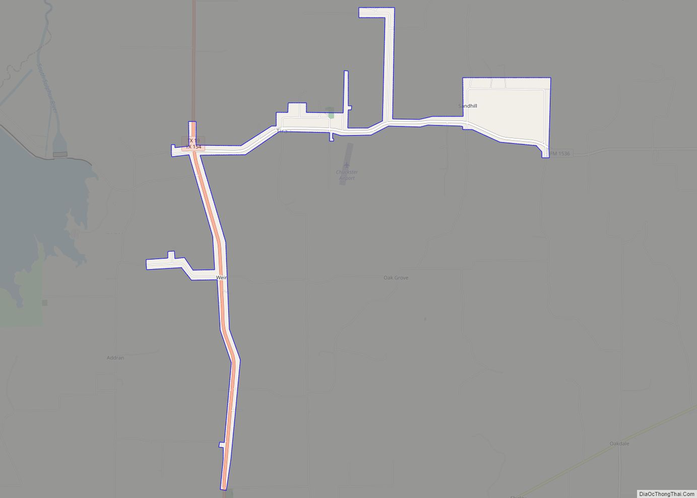
Sulphur Springs is at the center of Hopkins County, roughly halfway between Dallas and Texarkana. Interstate 30 passes through the south side of the city, with access from exits 120 through 127. I-30 leads east 38 miles (61 km) to Mount Pleasant and 100 miles (160 km) to Texarkana, while to the west it leads 30 miles (48 km) to Greenville and 79 miles (127 km) to Dallas. Texas State Highway 19 runs through the western side of Sulphur Springs, leading north 37 miles (60 km) to Paris and southwest 44 miles (71 km) to Canton. Texas State Highway 11 passes through the southern and western sides of Sulphur Springs, leading southeast 23 miles (37 km) to Winnsboro and northwest 20 miles (32 km) to Commerce. Texas State Highway 154 runs through the center of Sulphur Springs as Gilmer Street and Church Street, leading north 21 miles (34 km) to Cooper and south 27 miles (43 km) to Quitman.
According to the United States Census Bureau, Sulphur Springs has a total area of 23.6 square miles (61.2 km), of which 20.2 square miles (52.4 km) are land and 3.4 square miles (8.8 km), or 14.38%, are covered by water. The city is part of the Rock Creek (White Oak Creek) watershed, which flows east to the Sulphur River, a tributary of the Red River.
See also
Map of Texas State and its subdivision:- Anderson
- Andrews
- Angelina
- Aransas
- Archer
- Armstrong
- Atascosa
- Austin
- Bailey
- Bandera
- Bastrop
- Baylor
- Bee
- Bell
- Bexar
- Blanco
- Borden
- Bosque
- Bowie
- Brazoria
- Brazos
- Brewster
- Briscoe
- Brooks
- Brown
- Burleson
- Burnet
- Caldwell
- Calhoun
- Callahan
- Cameron
- Camp
- Carson
- Cass
- Castro
- Chambers
- Cherokee
- Childress
- Clay
- Cochran
- Coke
- Coleman
- Collin
- Collingsworth
- Colorado
- Comal
- Comanche
- Concho
- Cooke
- Coryell
- Cottle
- Crane
- Crockett
- Crosby
- Culberson
- Dallam
- Dallas
- Dawson
- Deaf Smith
- Delta
- Denton
- Dewitt
- Dickens
- Dimmit
- Donley
- Duval
- Eastland
- Ector
- Edwards
- El Paso
- Ellis
- Erath
- Falls
- Fannin
- Fayette
- Fisher
- Floyd
- Foard
- Fort Bend
- Franklin
- Freestone
- Frio
- Gaines
- Galveston
- Garza
- Gillespie
- Glasscock
- Goliad
- Gonzales
- Gray
- Grayson
- Gregg
- Grimes
- Guadalupe
- Hale
- Hall
- Hamilton
- Hansford
- Hardeman
- Hardin
- Harris
- Harrison
- Hartley
- Haskell
- Hays
- Hemphill
- Henderson
- Hidalgo
- Hill
- Hockley
- Hood
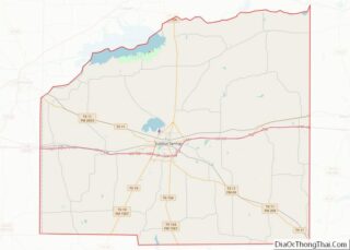
- Hopkins
- Houston
- Howard
- Hudspeth
- Hunt
- Hutchinson
- Irion
- Jack
- Jackson
- Jasper
- Jeff Davis
- Jefferson
- Jim Hogg
- Jim Wells
- Johnson
- Jones
- Karnes
- Kaufman
- Kendall
- Kenedy
- Kent
- Kerr
- Kimble
- King
- Kinney
- Kleberg
- Knox
- La Salle
- Lamar
- Lamb
- Lampasas
- Lavaca
- Lee
- Leon
- Liberty
- Limestone
- Lipscomb
- Live Oak
- Llano
- Loving
- Lubbock
- Lynn
- Madison
- Marion
- Martin
- Mason
- Matagorda
- Maverick
- McCulloch
- McLennan
- McMullen
- Medina
- Menard
- Midland
- Milam
- Mills
- Mitchell
- Montague
- Montgomery
- Moore
- Morris
- Motley
- Nacogdoches
- Navarro
- Newton
- Nolan
- Nueces
- Ochiltree
- Oldham
- Orange
- Palo Pinto
- Panola
- Parker
- Parmer
- Pecos
- Polk
- Potter
- Presidio
- Rains
- Randall
- Reagan
- Real
- Red River
- Reeves
- Refugio
- Roberts
- Robertson
- Rockwall
- Runnels
- Rusk
- Sabine
- San Augustine
- San Jacinto
- San Patricio
- San Saba
- Schleicher
- Scurry
- Shackelford
- Shelby
- Sherman
- Smith
- Somervell
- Starr
- Stephens
- Sterling
- Stonewall
- Sutton
- Swisher
- Tarrant
- Taylor
- Terrell
- Terry
- Throckmorton
- Titus
- Tom Green
- Travis
- Trinity
- Tyler
- Upshur
- Upton
- Uvalde
- Val Verde
- Van Zandt
- Victoria
- Walker
- Waller
- Ward
- Washington
- Webb
- Wharton
- Wheeler
- Wichita
- Wilbarger
- Willacy
- Williamson
- Wilson
- Winkler
- Wise
- Wood
- Yoakum
- Young
- Zapata
- Zavala
- Alabama
- Alaska
- Arizona
- Arkansas
- California
- Colorado
- Connecticut
- Delaware
- District of Columbia
- Florida
- Georgia
- Hawaii
- Idaho
- Illinois
- Indiana
- Iowa
- Kansas
- Kentucky
- Louisiana
- Maine
- Maryland
- Massachusetts
- Michigan
- Minnesota
- Mississippi
- Missouri
- Montana
- Nebraska
- Nevada
- New Hampshire
- New Jersey
- New Mexico
- New York
- North Carolina
- North Dakota
- Ohio
- Oklahoma
- Oregon
- Pennsylvania
- Rhode Island
- South Carolina
- South Dakota
- Tennessee
- Texas
- Utah
- Vermont
- Virginia
- Washington
- West Virginia
- Wisconsin
- Wyoming