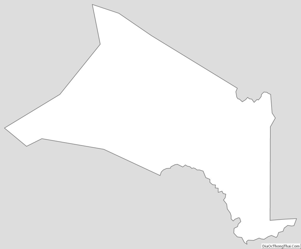
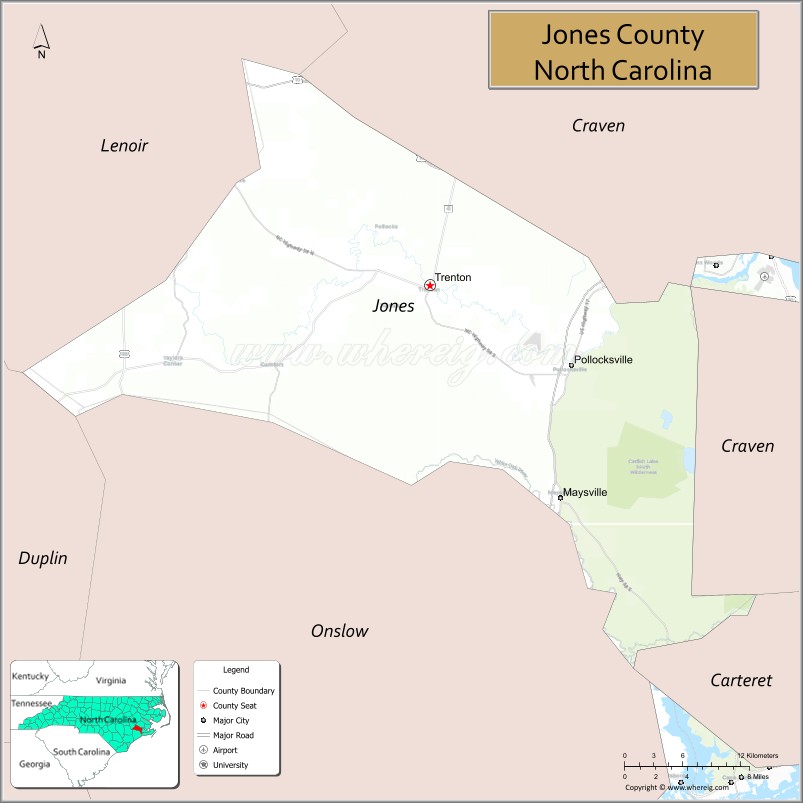
Jones County is a county located in the U.S. state of North Carolina. As of the 2020 census, the population was 9,172, making it the fourth-least populous county in North Carolina. Its county seat is Trenton. Jones County is part of the New Bern, NC Metropolitan Statistical Area..
| Name: | Jones County |
|---|---|
| FIPS code: | 37-103 |
| State: | North Carolina |
| Founded: | 1779 |
| Named for: | Willie Jones |
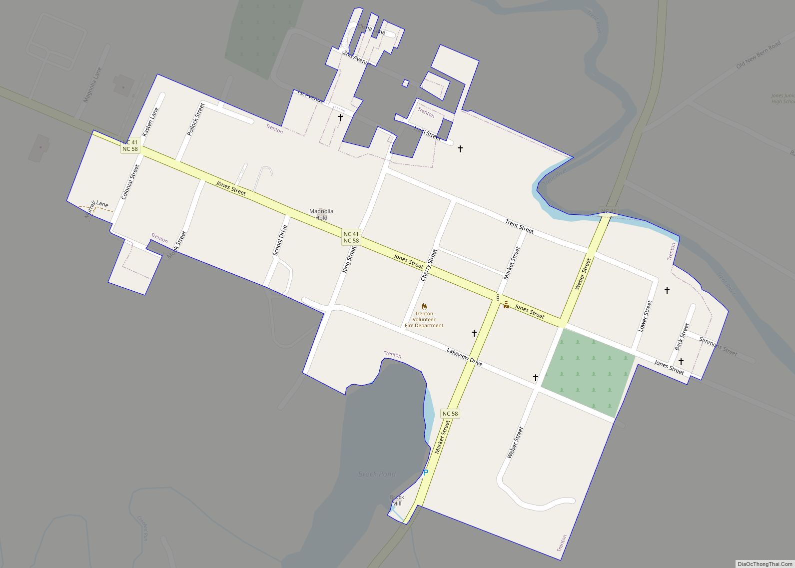
| Seat: | Trenton |
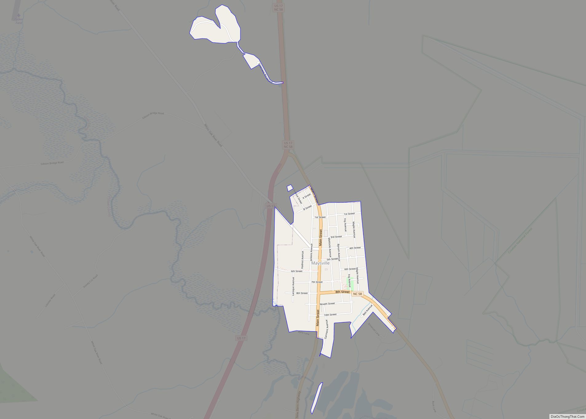
| Largest town: | Maysville |
| Total Area: | 473 sq mi (1,230 km²) |
| Land Area: | 471 sq mi (1,220 km²) |
| Total Population: | 9,255 |
| Population Density: | 19.6/sq mi (7.6/km²) |
| Time zone: | UTC−5 (Eastern) |
| Summer Time Zone (DST): | UTC−4 (EDT) |
| Website: | jonescountync.gov |
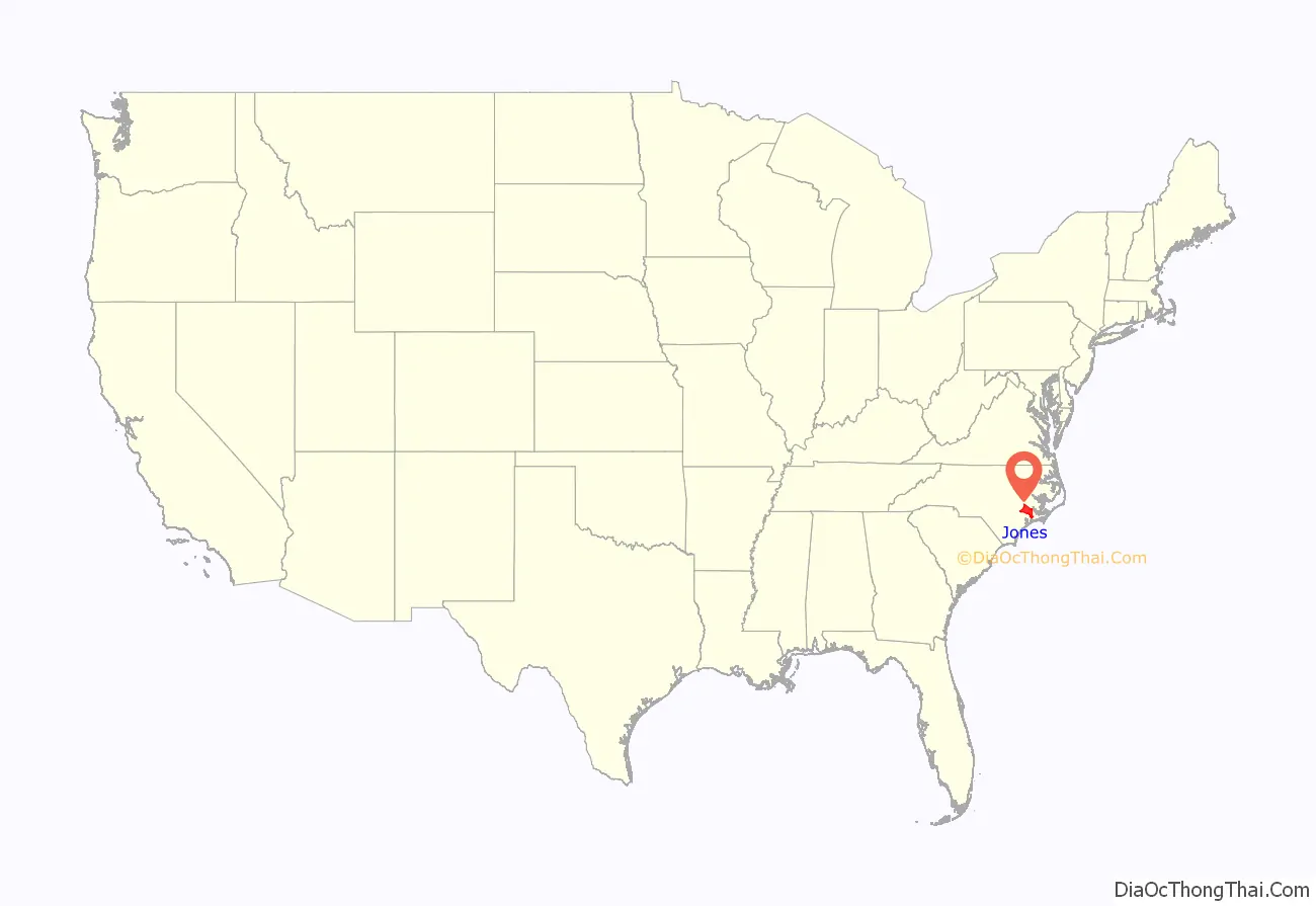
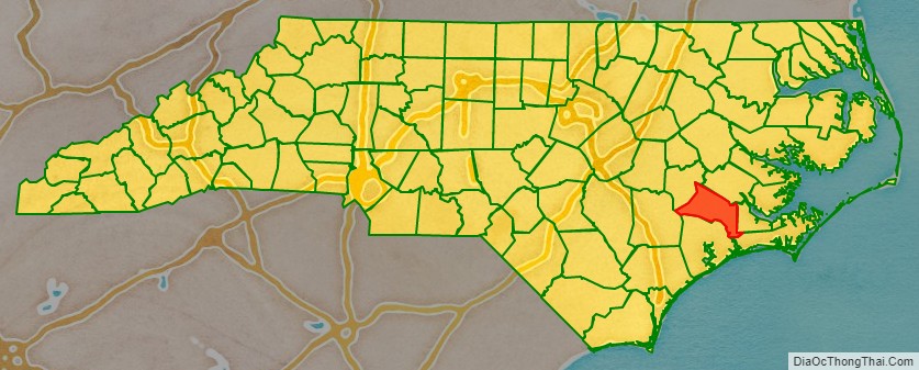
Jones County location map. Where is Jones County?
History
The county was formed in 1779 from the southwestern part of Craven County. It was named for Willie Jones, a planter, slaveholder, Revolutionary leader and president of the North Carolina Committee of Safety during the war. He opposed state ratification of the United States Constitution and refused to vote on it at the Hillsborough Convention.
The rural Low Country county was originally developed for plantations, which were dependent on the labor of enslaved African Americans. The county’s has heavily relied on agriculture (mostly tobacco) and lumber from its nearby forest.
In 2004, the county’s population slightly rose above 10,000 in a census estimate but has since decreased to 9,172 in the 2020 Census count.
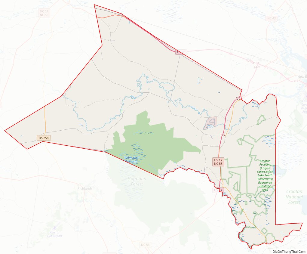
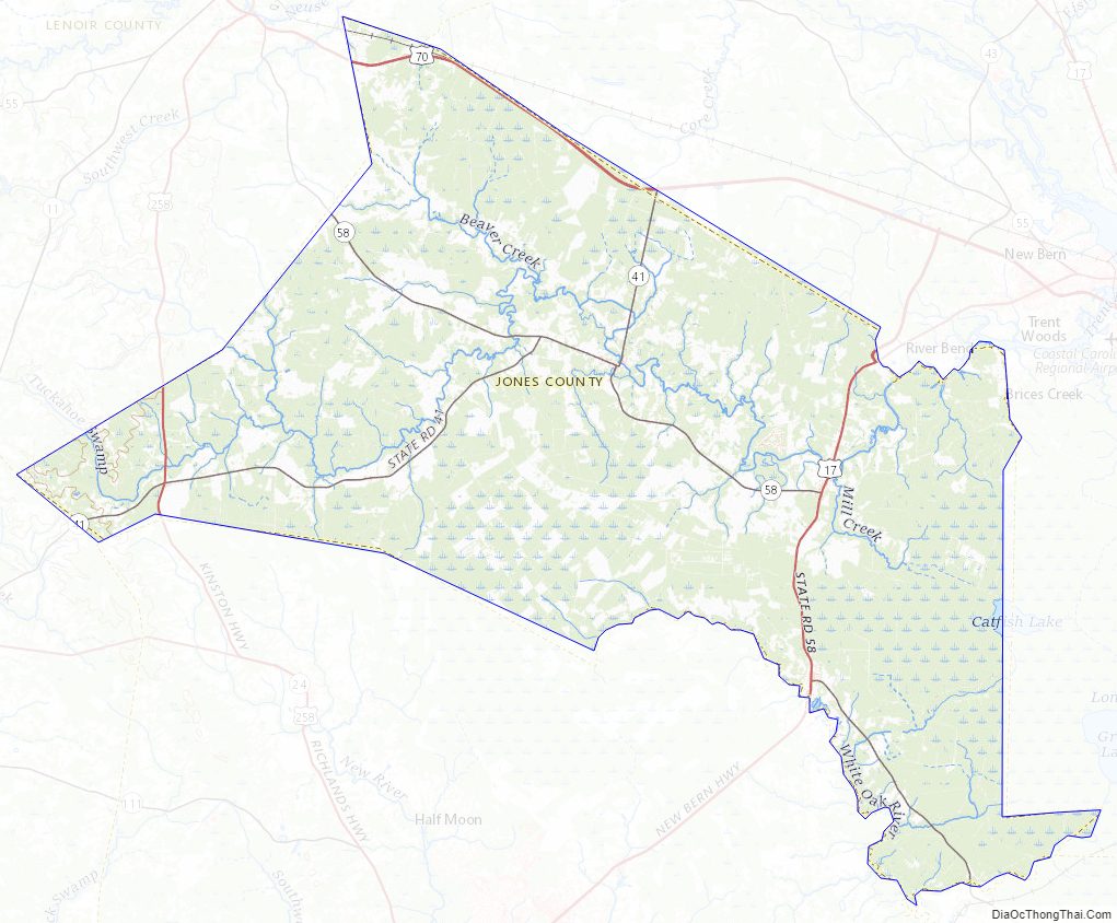
Jones County Road Map
Geography
According to the U.S. Census Bureau, the county has a total area of 473 square miles (1,230 km), of which 471 square miles (1,220 km) is land and 2.5 square miles (6.5 km) (0.5%) is water.
National protected area
- Catfish Lake South Wilderness (part)
- Croatan National Forest (part)
State and local protected areas
- Croatan Game Land (part)
- Hofmann Forest (part)
Major water bodies
- Beaverdam Creek (Trent River tributary)
- Catfish Lake
- Trent River
Adjacent counties
- Craven County – northeast
- Carteret County – southeast
- Onslow County – south
- Duplin County – west
- Lenoir County – northwest
Major highways
- Future I-42 (Concurrency with US 70)
- US 17
- US 70
- US 258
- NC 41
- NC 58
Major infrastructure
- Oak Grove OLF, small military base near Pollocksville
Jones County Topographic Map
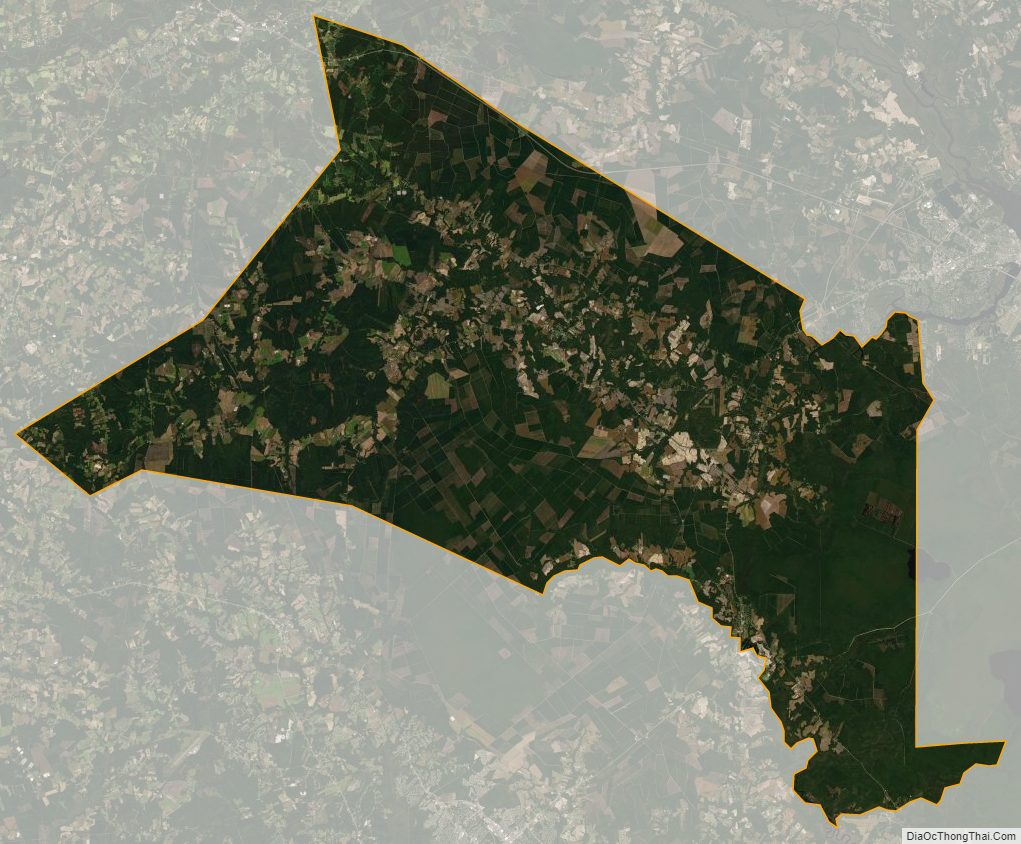
Jones County Satellite Map
Jones County Outline Map