Onslow County is a county located in the U.S. state of North Carolina. As of the 2020 census, the population was 204,576. Its county seat is Jacksonville. The county was created in 1734 as Onslow Precinct and gained county status in 1739. Onslow County comprises the Jacksonville, NC Metropolitan Statistical Area. The southern border is the coast of the Atlantic Ocean.
| Name: | Onslow County |
|---|---|
| FIPS code: | 37-133 |
| State: | North Carolina |
| Founded: | 1734 |
| Named for: | Arthur Onslow |
| Seat: | Jacksonville |
| Largest city: | Jacksonville |
| Total Area: | 906 sq mi (2,350 km²) |
| Land Area: | 763 sq mi (1,980 km²) |
| Total Population: | 206,160 |
| Population Density: | 270.2/sq mi (104.3/km²) |
| Time zone: | UTC−5 (Eastern) |
| Summer Time Zone (DST): | UTC−4 (EDT) |
| Website: | www.onslowcountync.gov |
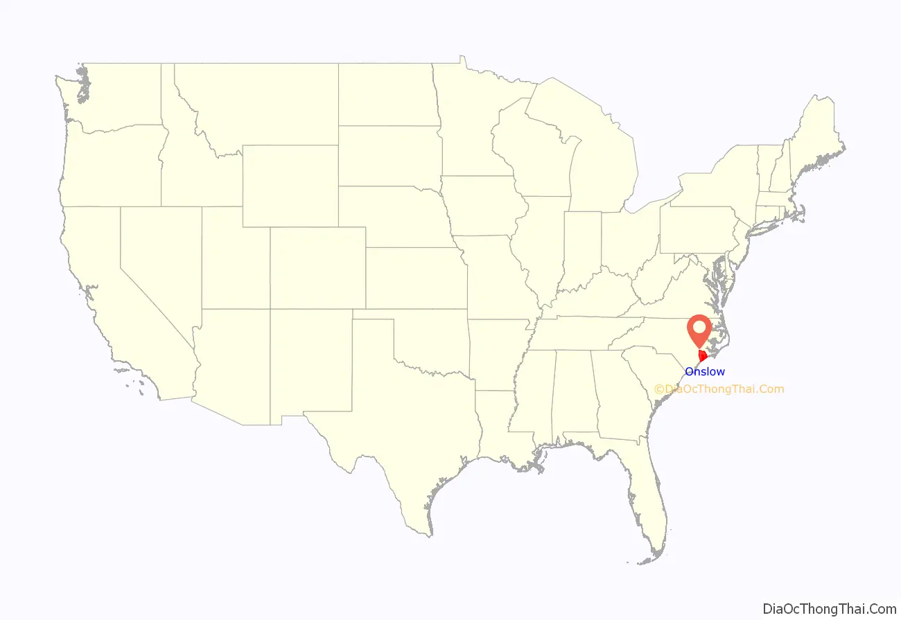
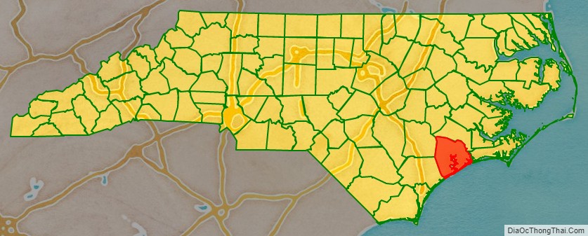
Onslow County location map. Where is Onslow County?
History
European, mainly English, settlers arrived here in 1713 in what was originally part of the colonial precincts of Carteret and New Hanover. Onslow County was formed in 1734 and was named for Arthur Onslow, the longest serving speaker of the House of Commons. After a lethal 1752 hurricane, the county courthouse was relocated from Town Point to Wantland’s Ferry; this settlement was eventually incorporated in 1842 and named Jacksonville after President Andrew Jackson. Through much of the first half of the 20th century, the county was largely rural, with an economy based on agrarian and maritime communities.
During World War II, Onslow County was dramatically changed in the early 1940s with the establishment of the United States Army Camp Davis near Holly Ridge (now defunct), and the creation of Camp Lejeune in 1941. This increased county population and generated related growth in housing and businesses.
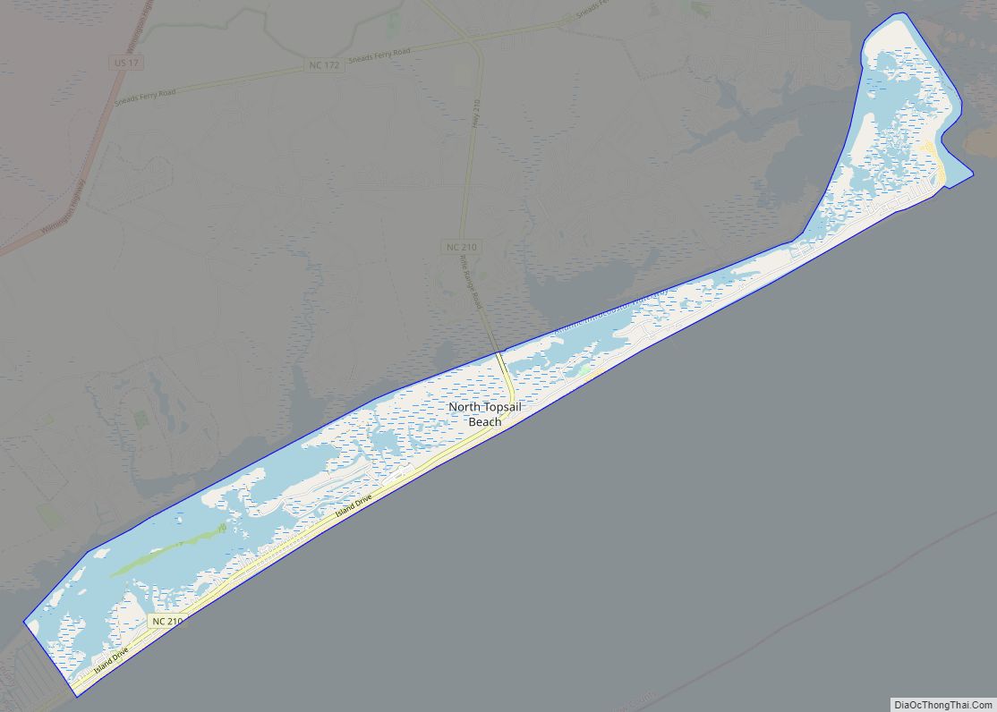
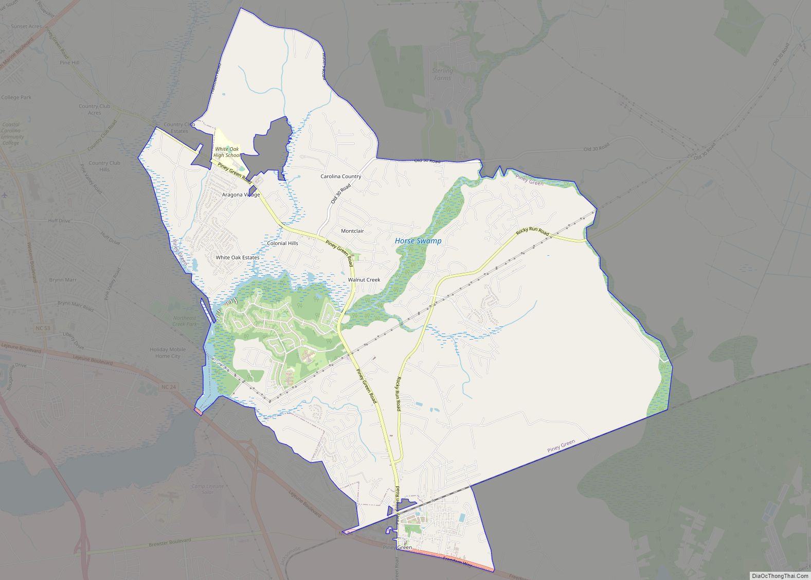
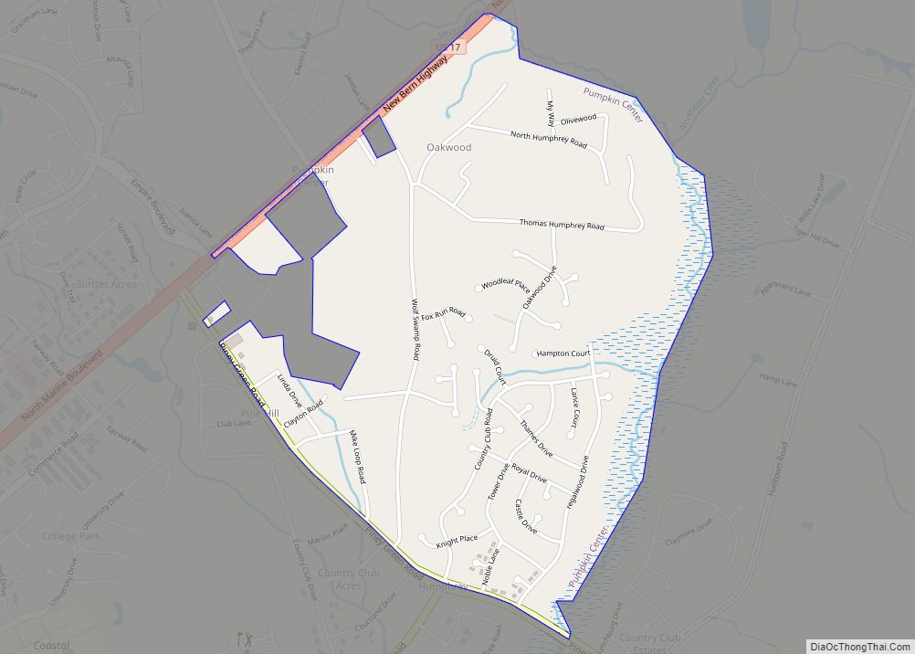
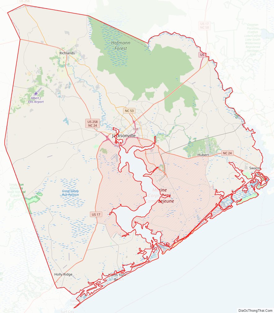
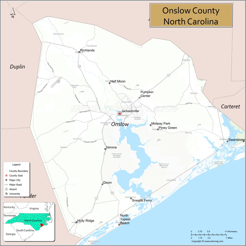
Onslow County’s flat, rolling terrain covers 767 square miles (1,990 km) and is located in the southeastern coastal plain of North Carolina, about 120 miles (190 km) east of Raleigh and 50 miles (80 km) north of Wilmington. The city of Jacksonville is the county seat, and the areas surrounding the city constitute the major population centers and growth areas in the county. The county is home to more than 150,000 people and includes the incorporated towns of Holly Ridge, Richlands, Swansboro, North Topsail Beach, part of Surf City and unincorporated Sneads Ferry. The U.S. Marine Corps Base, Camp Lejeune, comprises roughly 156,000 acres (630 km); more than 43,000 marines and sailors are stationed there.
Onslow County Road Map
Geography
According to the U.S. Census Bureau, the county has a total area of 906 square miles (2,350 km), of which 763 square miles (1,980 km) are land and 143 square miles (370 km) (16%) are covered by water. It is bordered by Jones County, Carteret County, Pender County, and Duplin County.
Wildlife
The New River and its vicinity is sometimes inhabited by bald eagles, dolphins, and cownose rays.
State and local protected areas
- Bear Island Area Outstanding Resource Water
- Hammocks Beach State Park
- Hofmann Forest (part)
- Holly Shelter Game Land (part)
- North Carolina National Estuarine Research Reserve
- Onslow Beach
- Primary Nursery Areas
- Sandy Run Savannas State Natural Area (part)
- Sea Turtle Sanctuary
- Stump Sound Area Outstanding Resource Water
- White Oak River Mechanical Harvesting of Oysters Prohibited Area (part)
- White Oak River Impoundment Game Land (part)
Major water bodies
- Atlantic Ocean
- Intracoastal Waterway
- New River
- Onslow Bay
- Queen Creek
- White Oak River
Major highways
- US 17
- US 17 Bus.
- US 258
- NC 24
- NC 24 Bus.
- NC 50
- NC 53
- NC 111
- NC 172
- NC 210
Major infrastructure
- Albert J. Ellis Airport, located in Richlands and is served by two commercial airlines.
- Amtrak Thruway (Jacksonville)
- Marine Corps Base Camp Lejeune, military base south of Jacksonville (Sneads Ferry)
- MCAS New River, military base in Jacksonville
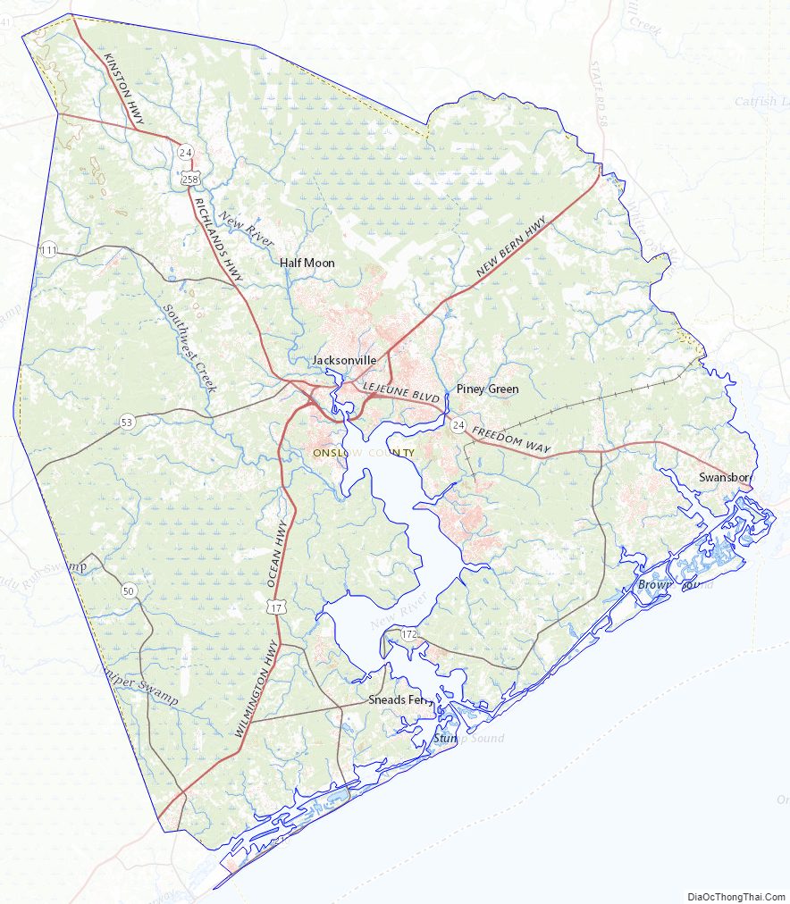
Onslow County Topographic Map
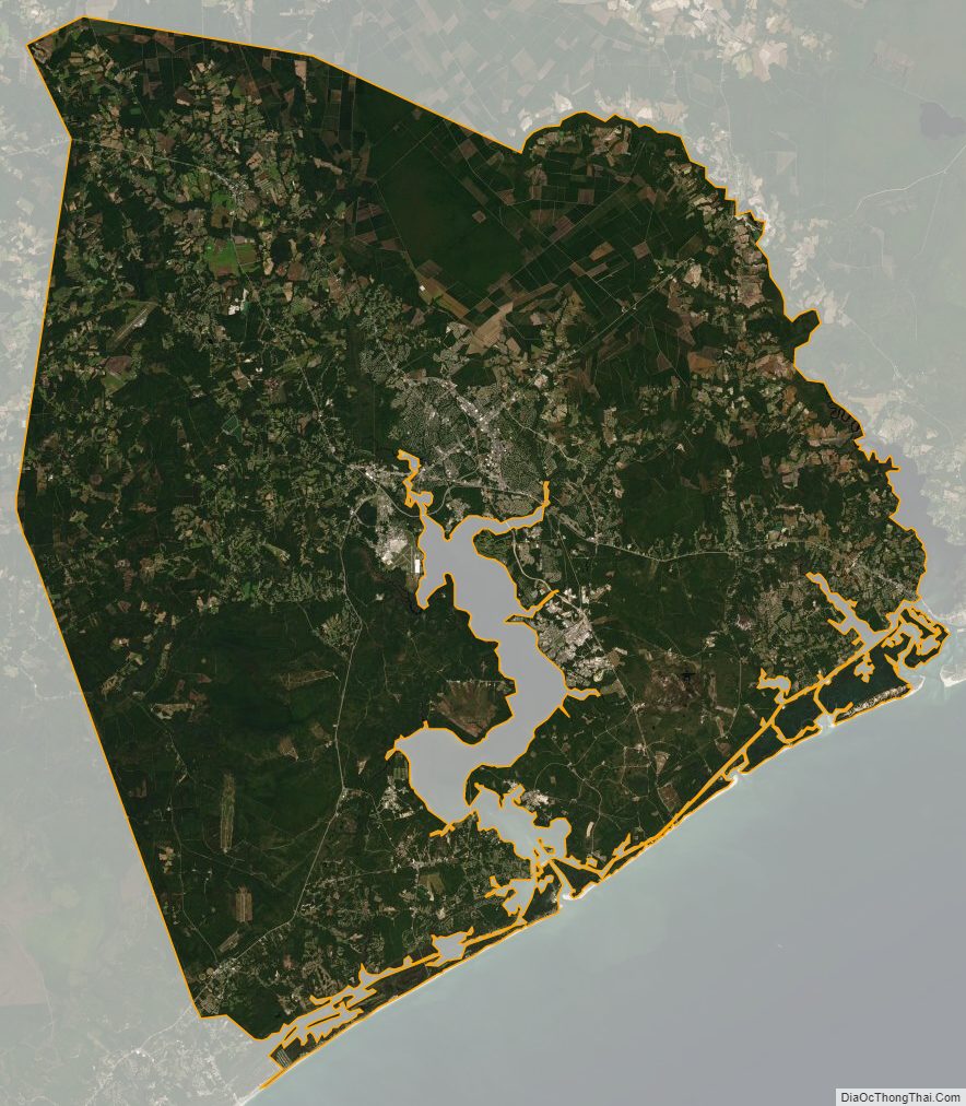
Onslow County Satellite Map
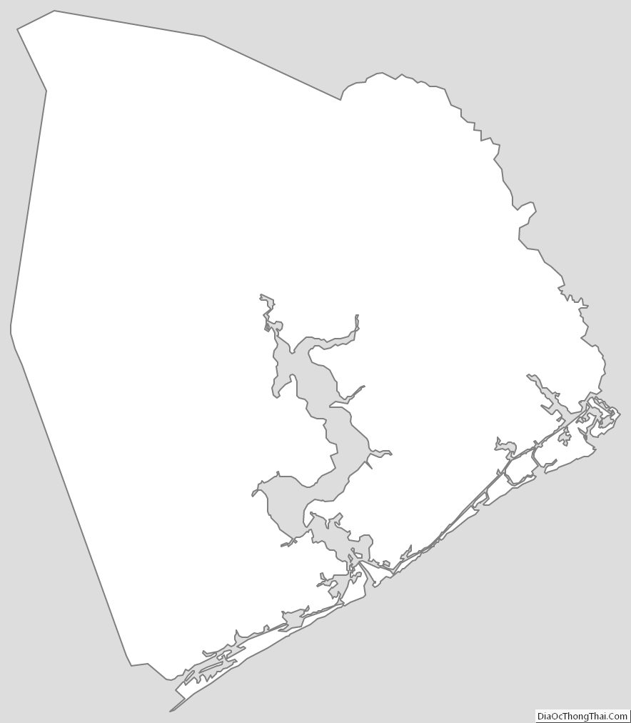
Onslow County Outline Map