Kewaunee County is a county located in the U.S. state of Wisconsin. As of the 2020 census, the population was 20,563. Its county seat is Kewaunee. The county was created in 1852 and organized in 1859. Its Menominee name is Kewāneh, an archaic name for a species of duck. Kewaunee County is part of the Green Bay, WI Metropolitan Statistical Area as well as the Green Bay-Shawano, WI Combined Statistical Area.
| Name: | Kewaunee County |
|---|---|
| FIPS code: | 55-061 |
| State: | Wisconsin |
| Founded: | 1859 |
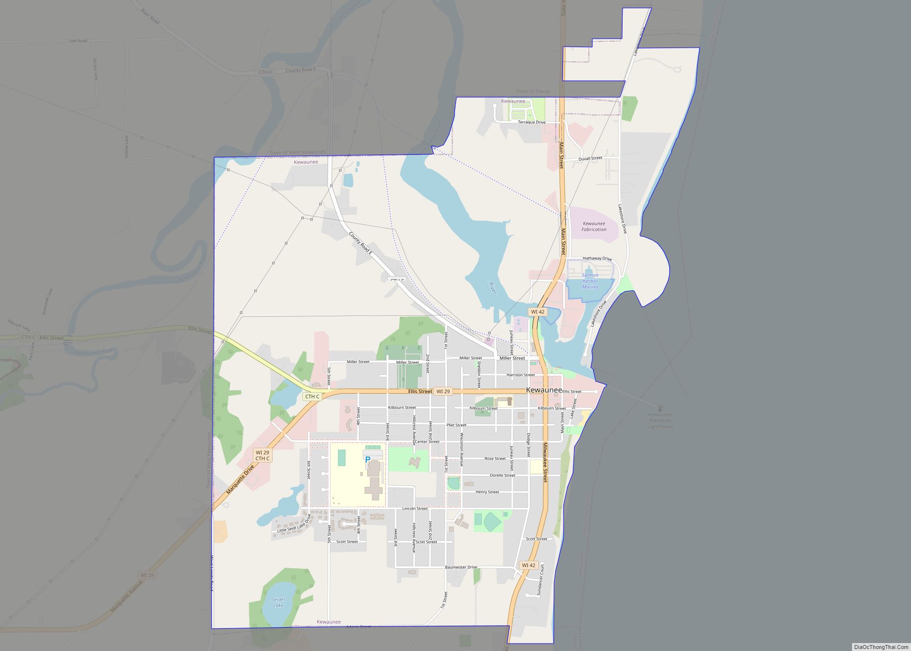
| Seat: | Kewaunee |
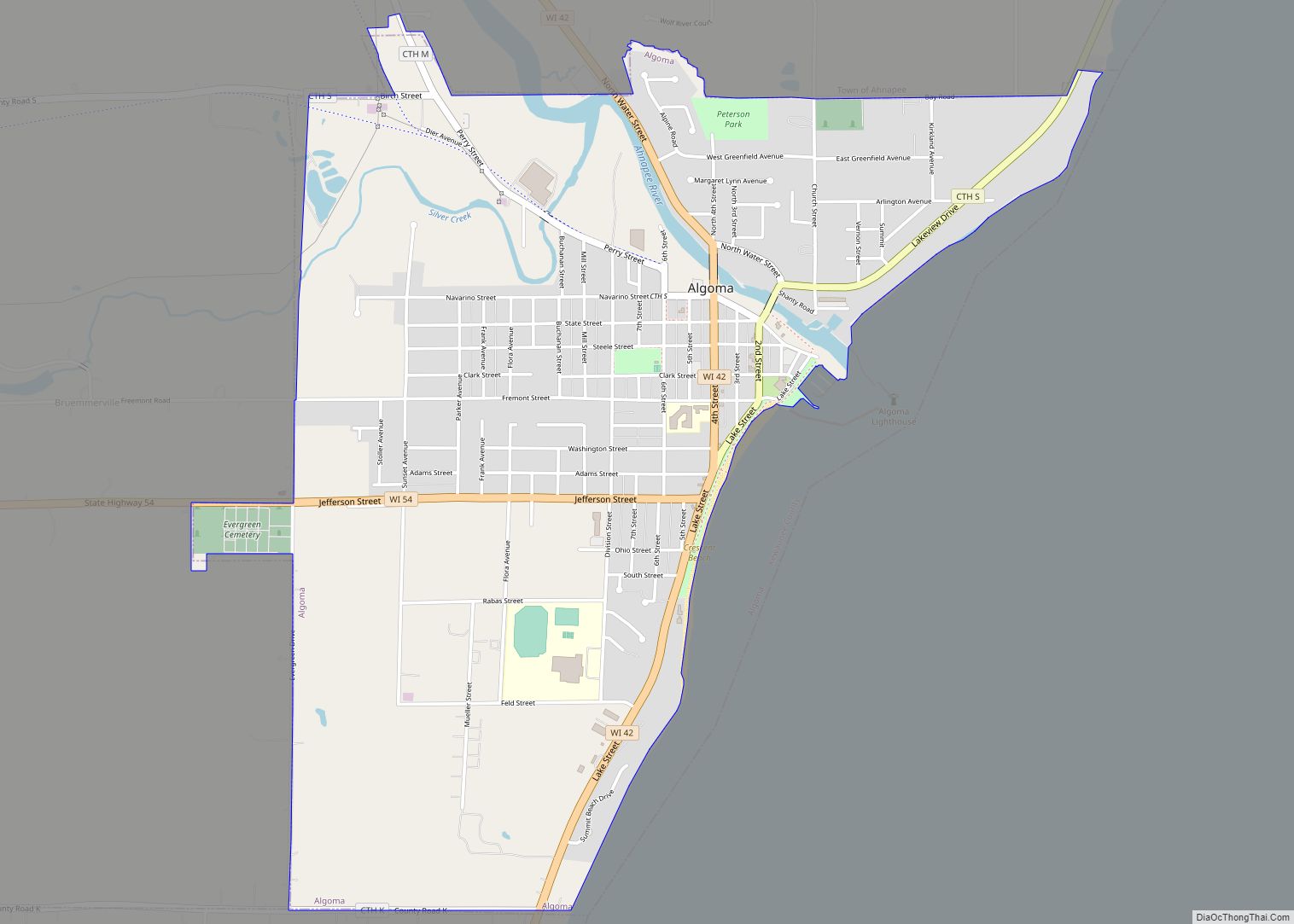
| Largest city: | Algoma |
| Total Area: | 1,084 sq mi (2,810 km²) |
| Land Area: | 343 sq mi (890 km²) |
| Total Population: | 20,563 |
| Population Density: | 60.0/sq mi (23.2/km²) |
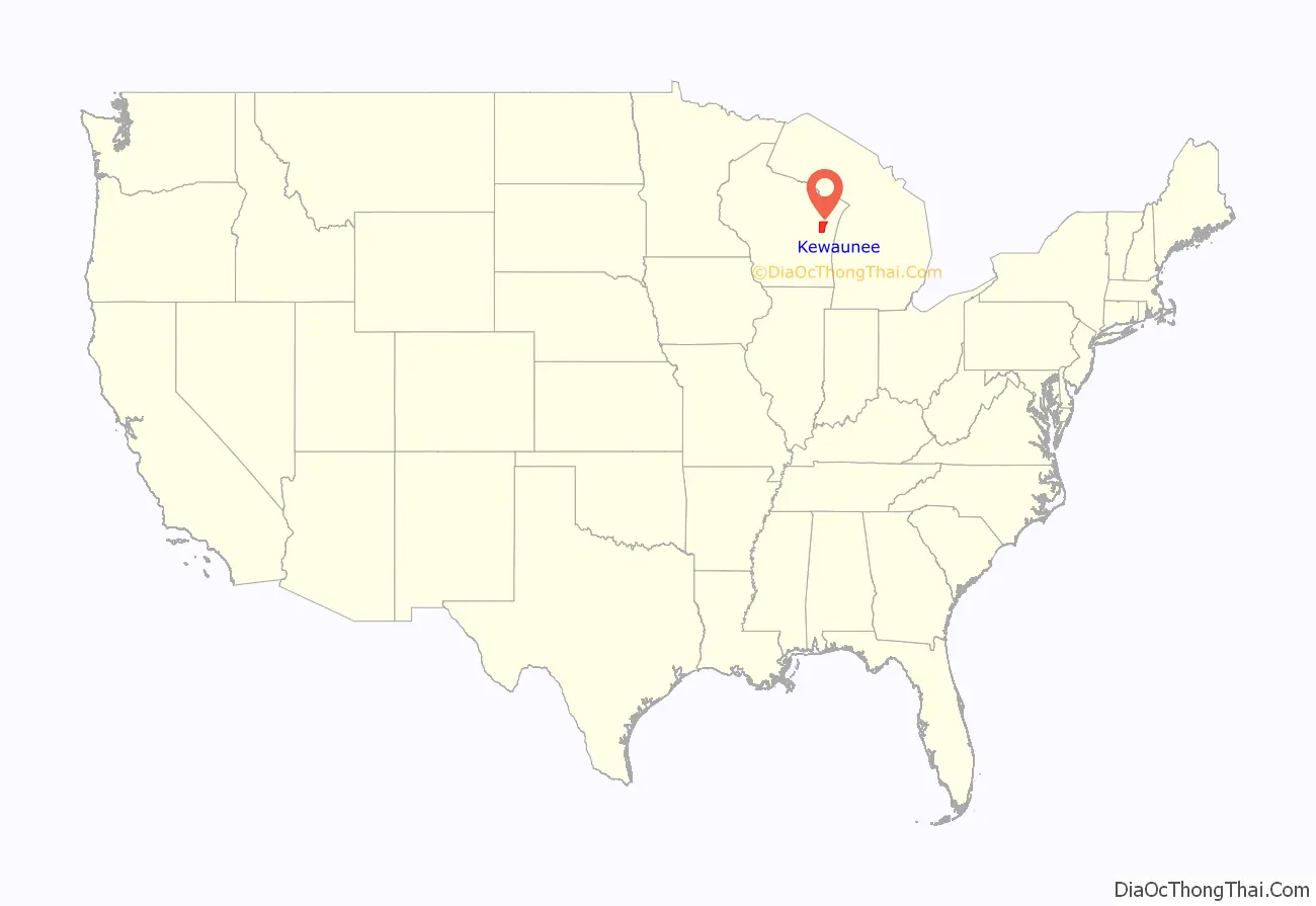
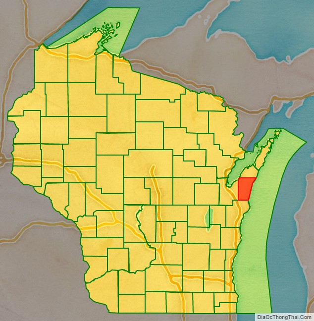
Kewaunee County location map. Where is Kewaunee County?
History
In 1795, Jacques Vieau established a short-lived trading post in Kewaunee.
In 1854, the first Czechs arrived, coming north from Milwaukee.
19th-century Algoma (at the time called Ahnapee) was host to a longstanding inter-ethnic economic struggle over pier pricing and access.
In 1887, an octahedrite meteorite weighing nearly nine pounds was plowed up four miles west of Algoma. It is displayed at the Geology Museum at UW–Madison.
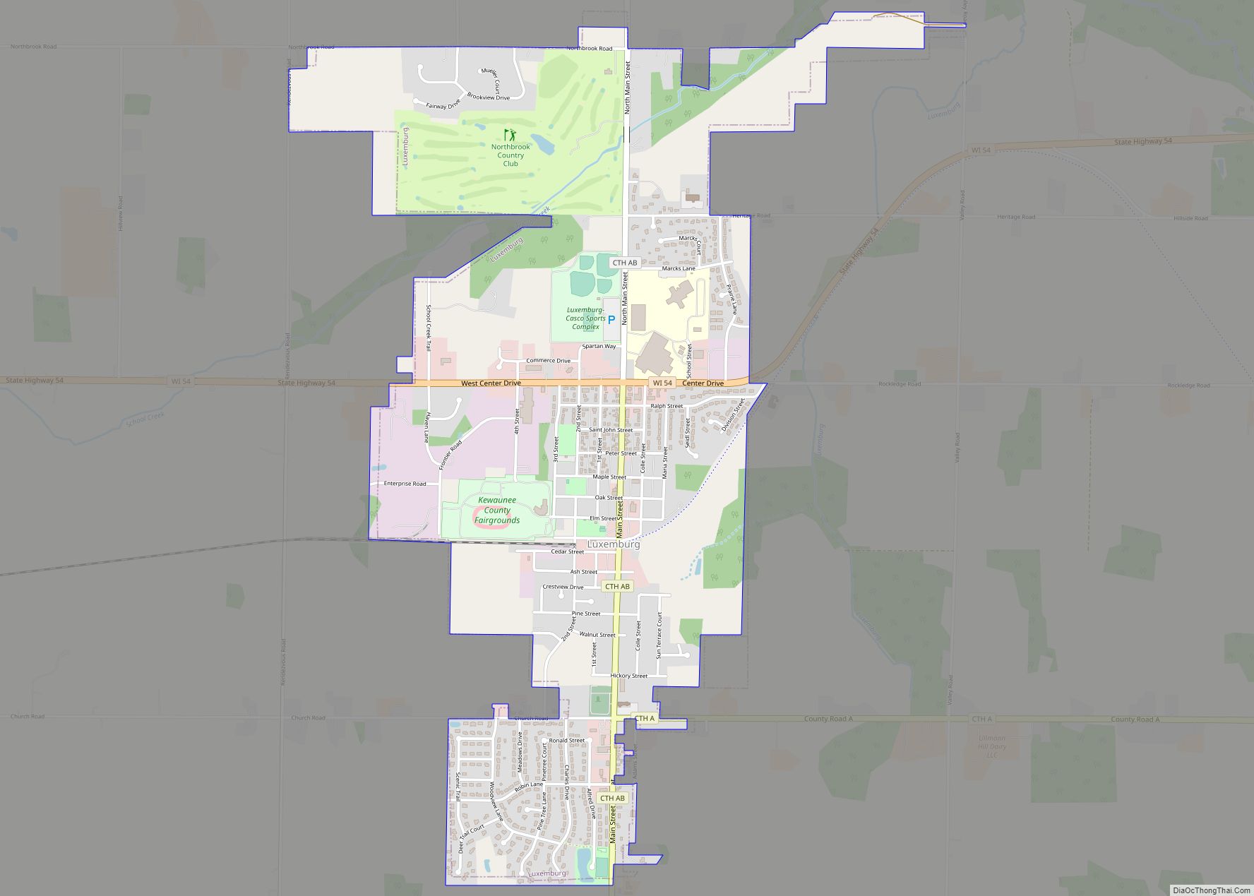
Kewaunee and Casco Junction were connected to Green Bay in 1891 by the Kewaunee, Green Bay and Western Railroad. It later became part of the Green Bay and Western Railroad. The western portion of this line provides freight service to Luxembourg to the present day, but not further east.
The first leg of the Ahnapee and Western Railway was built in 1892.
The first Belgian Kermiss harvest festival in the nation is thought have taken place in the county.
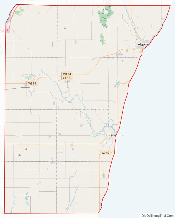
Kewaunee County Road Map
Geography
According to the U.S. Census Bureau, the county has a total area of 1,084 square miles (2,810 km), of which 343 square miles (890 km) is land and 742 square miles (1,920 km) (68%) is water. The northern part of the county is on the Door Peninsula between Green Bay and Lake Michigan. The northern part of the Kettle Moraine extends into Kewaunee County. There are three named peaks in the county. The USGS monitors one well in the county on an hourly basis. It also takes hourly pictures of the field in front of the well. It usually takes four to five hours for the groundwater level to rise after a big rain.
Adjacent counties
- Door County – north
- Manitowoc County – south
- Brown County – west
- Benzie County, Michigan – northeast across Lake Michigan
- Manistee County, Michigan – southeast across Lake Michigan
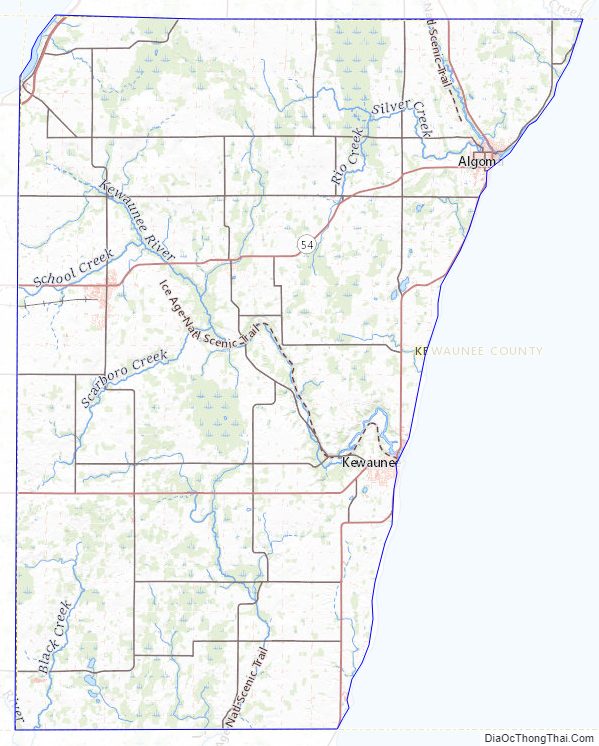
Kewaunee County Topographic Map
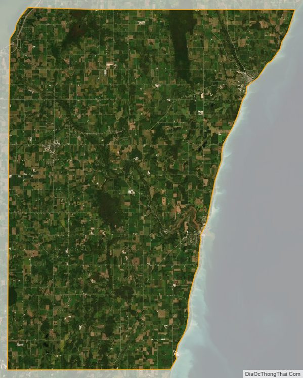
Kewaunee County Satellite Map
Kewaunee County Outline Map