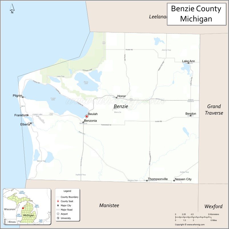
Benzie County (/bɛnziː/ BEN-zee) is a county in the U.S. state of Michigan. As of the 2020 Census, the population was 17,970. The county seat is Beulah. The county was initially set off in 1863 and organized in 1869. At 321 square miles (831 km), Benzie County is the smallest of the 83 counties in Michigan in terms of land area.
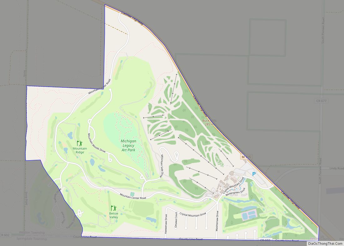
Benzie County is part of the Traverse City micropolitan area. Part of the Sleeping Bear Dunes National Lakeshore is located within the county. It is also home to Crystal Mountain, one of Michigan’s top-rated ski resorts.
| Name: | Benzie County |
|---|---|
| FIPS code: | 26-019 |
| State: | Michigan |
| Founded: | 1863 |
| Named for: | Betsie River |
| Seat: | Beulah |
| Largest city: | Frankfort |
| Total Area: | 860 sq mi (2,200 km²) |
| Land Area: | 320 sq mi (800 km²) |
| Total Population: | 17,970 |
| Population Density: | 55/sq mi (21/km²) |
| Time zone: | UTC−5 (Eastern) |
| Summer Time Zone (DST): | UTC−4 (EDT) |
| Website: | www.benzieco.net |
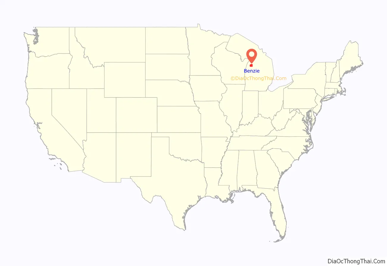
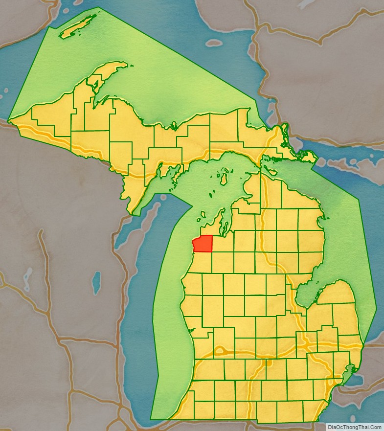
Benzie County location map. Where is Benzie County?
History
Today’s Benzie County was originally part of Leelanau County. Leelanau County was separated from Michilimackinac County in 1840, and was attached to Grand Traverse County. In 1863, The northern section of Leelanau County was organized, and the southern section, now named Benzie County, was left attached to Grand Traverse County. Benzie County was organized in its own right in 1869.
Etymology
The name “Benzie” is derived from the French la rivière aux Bec-scies, “the river of sawbills”, bec-scie (“bill-saw”) being a type of ducks. Americans altered the pronunciation of the river’s name, which became known as the “Betsie River”. A similar alteration in pronunciation produced “Benzie”.
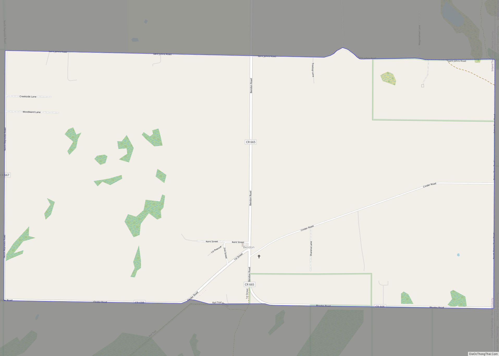
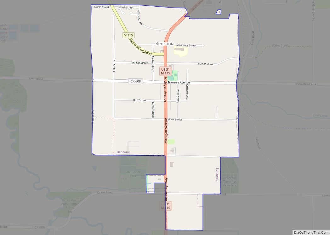
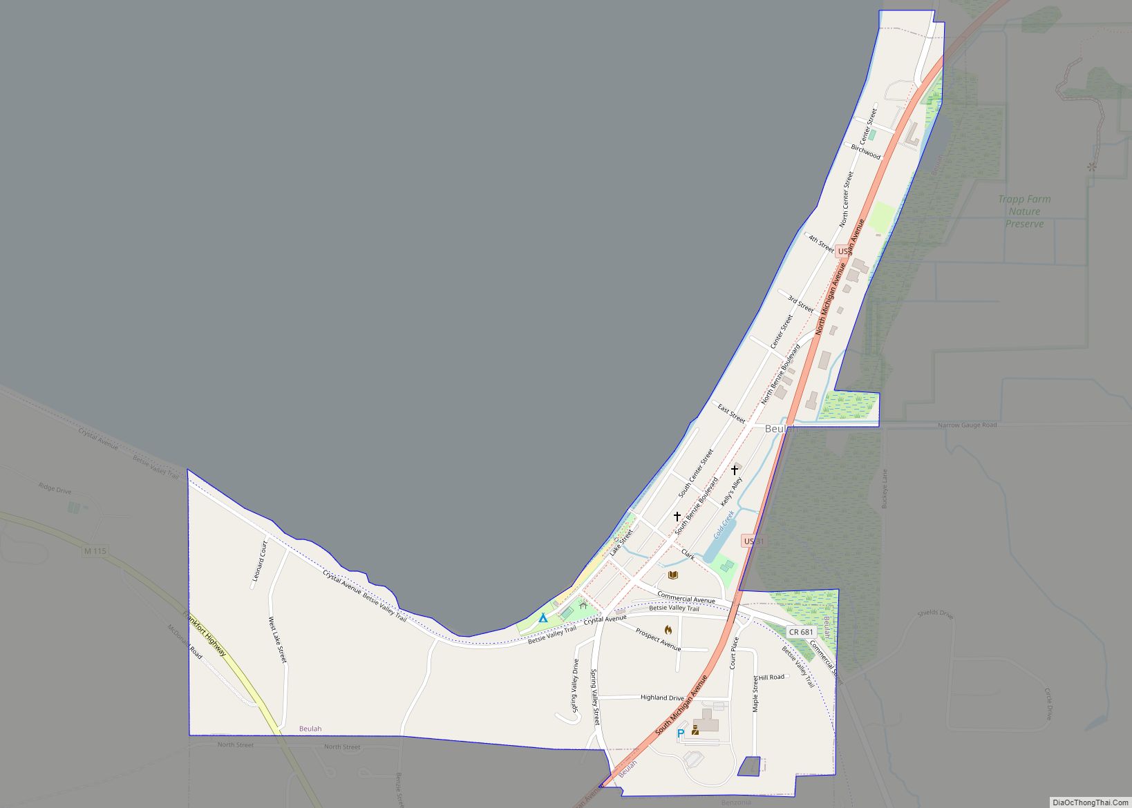
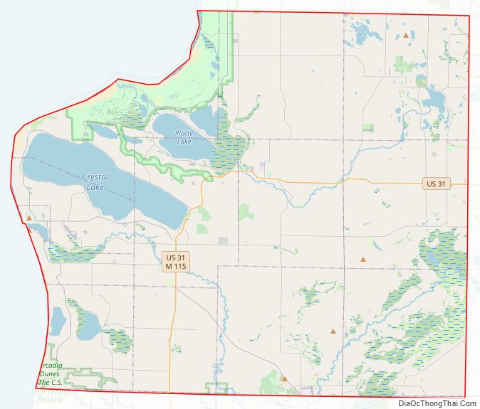
Benzie County Road Map
Geography
According to the U.S. Census Bureau, the county has a total area of 860 square miles (2,200 km), of which 320 square miles (830 km) is land and 540 square miles (1,400 km) (63%) is water. It is the smallest county in Michigan by land area.
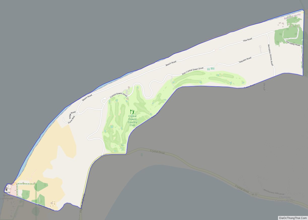
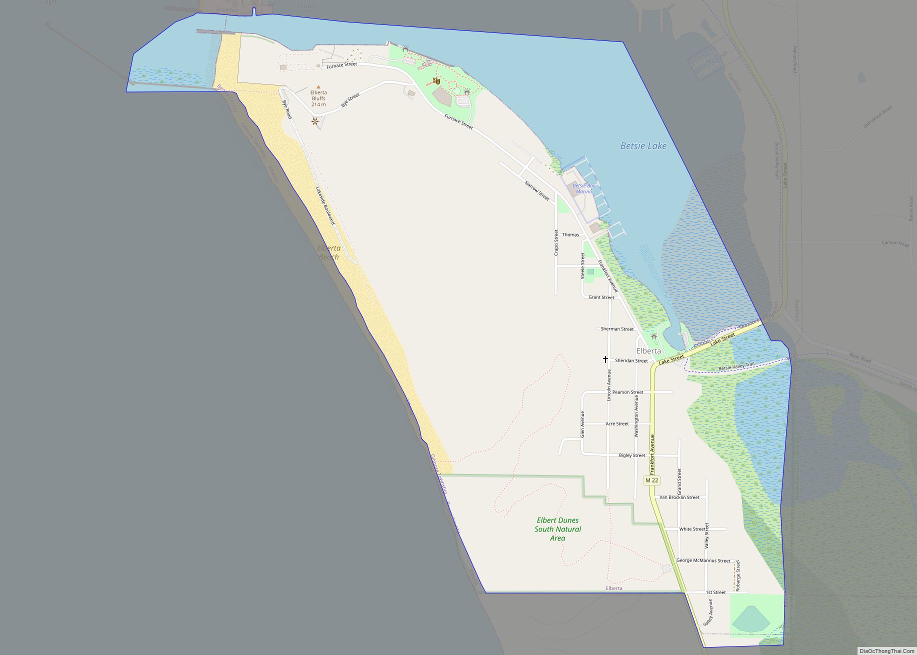
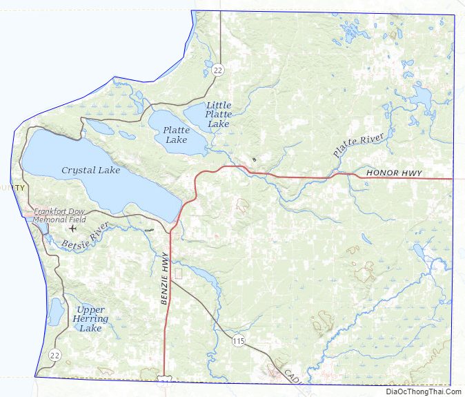
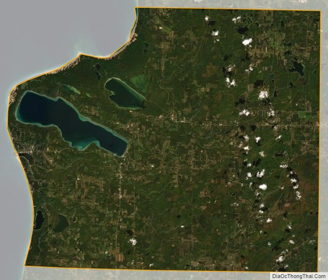
Benzie County is located in the northwest of the Lower Peninsula, in the “little finger” position of the mitten-shaped peninsula and is considered to be part of the Northern Michigan region. Lake Michigan is to the west, Leelanau County and the Leelanau Peninsula are to the north. Grand Traverse County and Traverse City are to the east. Wexford County is to the southeast and Manistee County to the south. The Sleeping Bear Dunes National Lakeshore extends into the northwest portion of the county. Crystal Lake is a prominent physical feature of the area. The Platte River rises out of a lake district around Lake Ann in the northeast of the county and flows southwest and the northwest into Big Platte Lake before emptying into Lake Michigan at Platte River Point. The Betsie River rises in neighboring Grand Traverse County, flowing southwest across the southeast corner of the county into Manistee County, where it bends northwest until just south of Benzonia where it receives the outflow of Crystal Lake and then flows mostly west through Elberta and Frankfort and into Lake Michigan.
Portions of the Pere Marquette State Forest lie within the county and offer several trails including a 10-mile (16 km) route along the Betsie River and a 5.8-mile (9.3 km) trail near Lake Ann. There are state forest campgrounds at Platte River and Lake Ann. The Betsie River State Game Area is located just east of Elberta. 50 miles (80 km) of the Betsie River is a state-designated Natural River from Grass Lake, just west of the Grand Traverse County line, to its inlet into Lake Betsie just east of Elberta. The natural and scenic richness of the area has made it a host to a variety of conservation, education, and recreation programs, including Crystalaire, the Grand Traverse Regional Land Conservancy, and others.
Major highways
- US 31 enters the county from the south, passes through Benzonia and Beulah on the south end of Crystal Lake before turning to exit the county to the east.
- M-22 traverses the western edge of the county, providing a scenic drive along the shore of Lake Michigan.
- M-115 enters the county from the south, angling northwest, and merges with US 31 for a couple of miles until Benzonia where M-115 continues west to end in Frankfort.
Previously, an additional highway, M-168, ran in the village of Elberta, serving the former Ann Arbor Railroad ferry docks. The route was handed back to local control in 2012.
Adjacent counties
By land
- Leelanau County – north
- Grand Traverse County – east
- Manistee County – south
- Wexford County – adjacent at the southeast corner
By water
- Door County, Wisconsin – northwest across Lake Michigan
- Kewaunee County, Wisconsin – southwest across Lake Michigan
Benzie County Topographic Map
Benzie County Satellite Map
Benzie County Outline Map