Manistee County (/mænɪsti/ man-iss-TEE) is a county located in the U.S. state of Michigan. As of the 2020 Census, the population was 25,032. The county seat is Manistee. The county is named for the Manistee River. Manistee County is part of Northern Michigan and has a shoreline on Lake Michigan.
| Name: | Manistee County |
|---|---|
| FIPS code: | 26-101 |
| State: | Michigan |
| Founded: | 1840 |
| Seat: | Manistee |
| Largest city: | Manistee |
| Total Area: | 1,281 sq mi (3,320 km²) |
| Land Area: | 542 sq mi (1,400 km²) |
| Total Population: | 25,032 |
| Population Density: | 46/sq mi (18/km²) |
| Time zone: | UTC−5 (Eastern) |
| Summer Time Zone (DST): | UTC−4 (EDT) |
| Website: | www.manisteecountymi.gov |
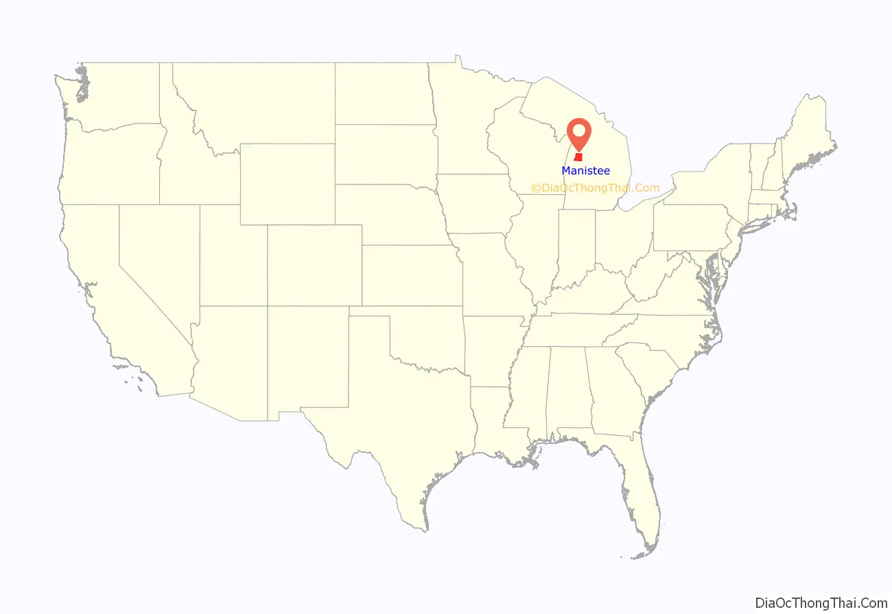
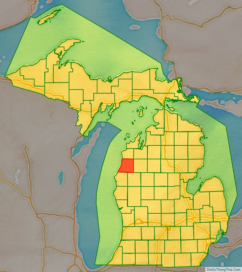
Manistee County location map. Where is Manistee County?
History
Manistee County was set off in 1840 from Michilimackinac County as an unorganized county. In 1851, it was attached to Grand Traverse County for legal purposes. Manistee County was organized in its own right on February 13, 1855.
Etymology
The name “Manistee” is from an Ojibwe word first applied to the principal river of the county. The derivation is not certain, but it may be from ministigweyaa, “river with islands at its mouth”.
Historical markers
There are thirteen recognized Michigan historical markers in the county:
- Harriet Quimby Childhood Home
- John J. Makinen Bottle House
- First Congregational Church, Manistee
- Great Fire of 1871
- Holy Trinity Episcopal Church
- Holy Trinity Episcopal Church Rectory
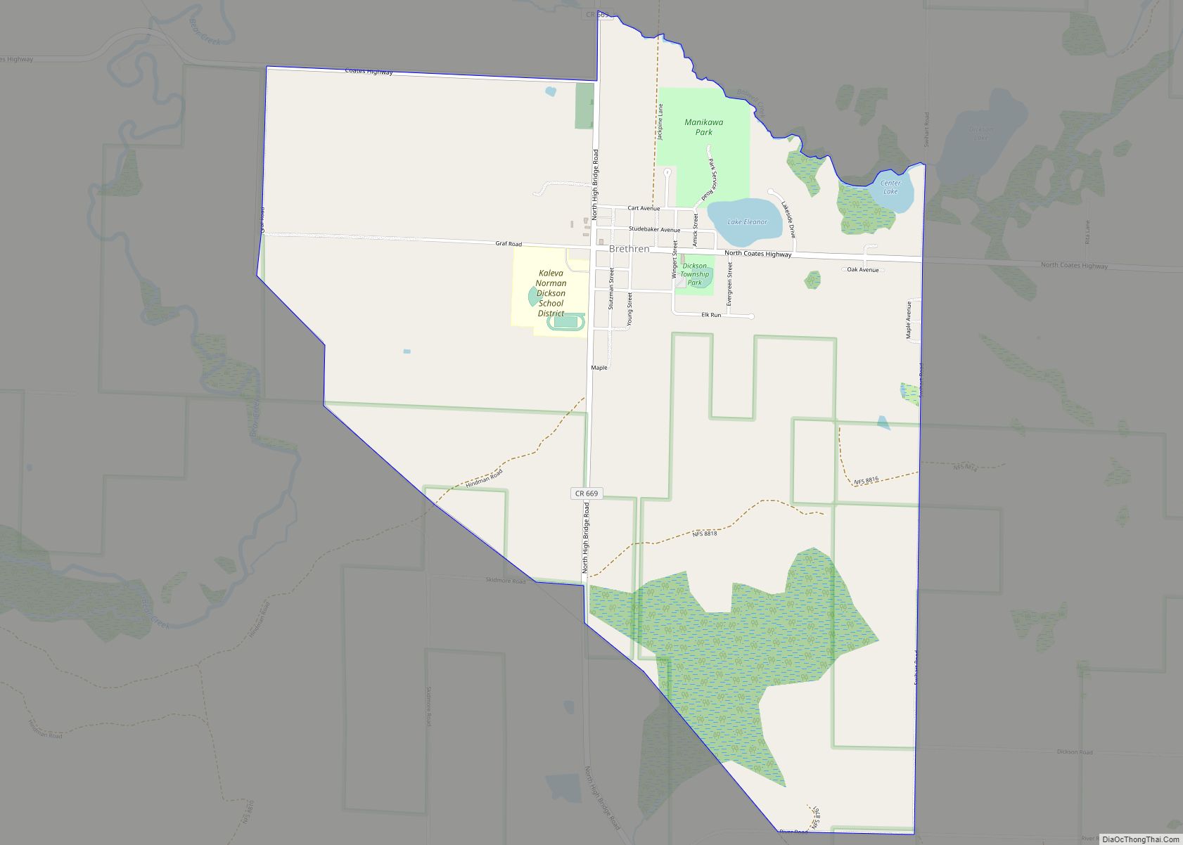
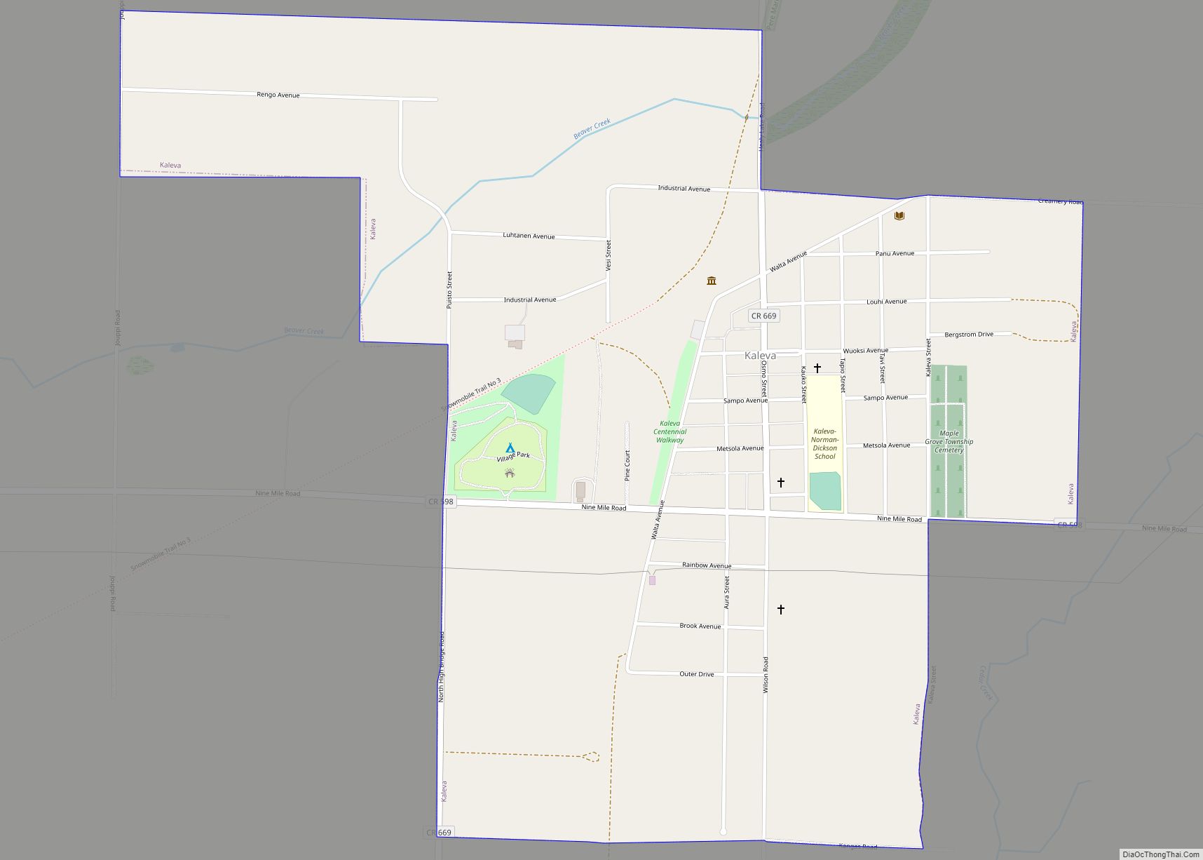
- Kaleva, Michigan
- Manistee City Library
- Manistee Fire Hall
- Our Saviour’s Lutheran Church
- Ramsdell Theatre
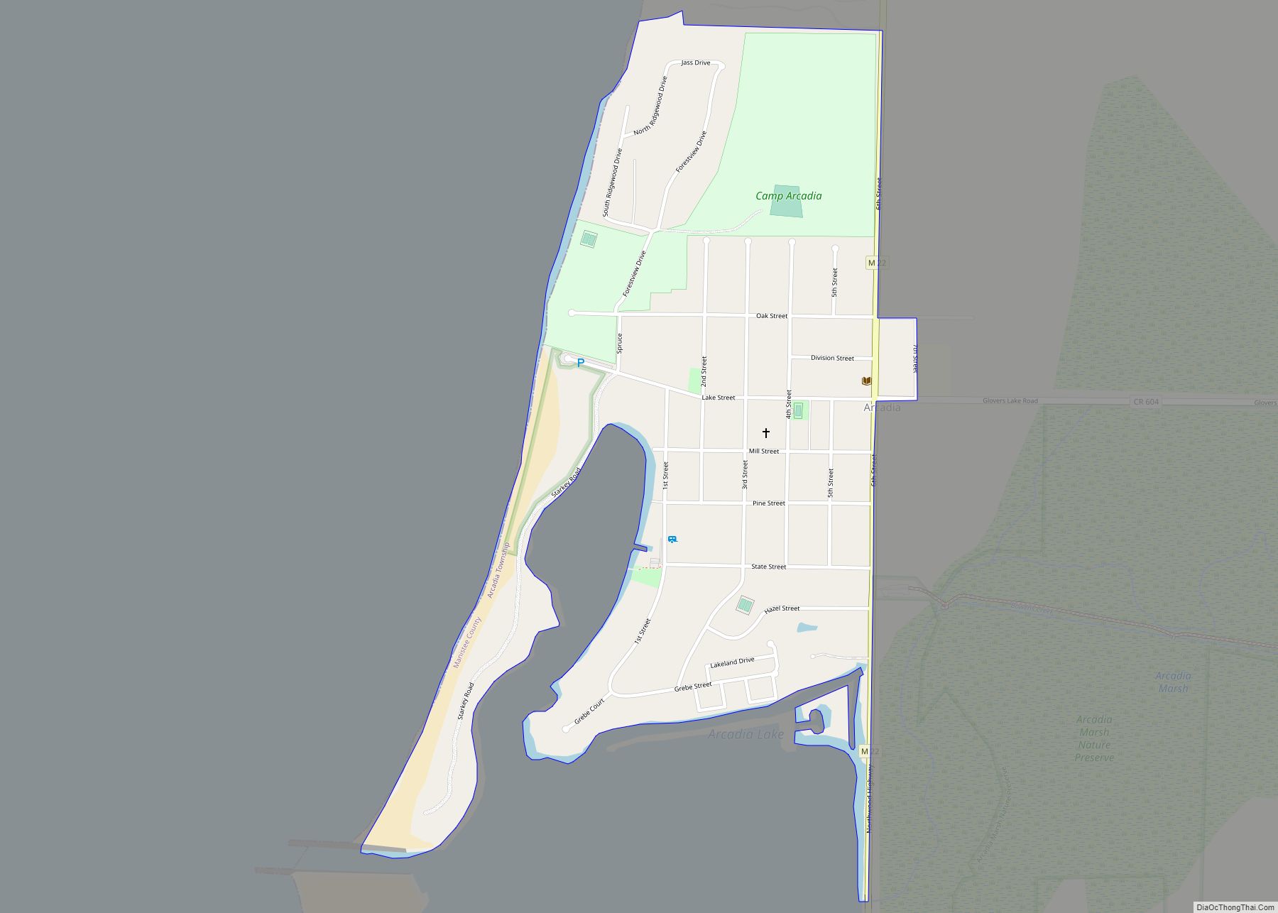
- Trinity Lutheran Church [Arcadia]
- William Douglas House
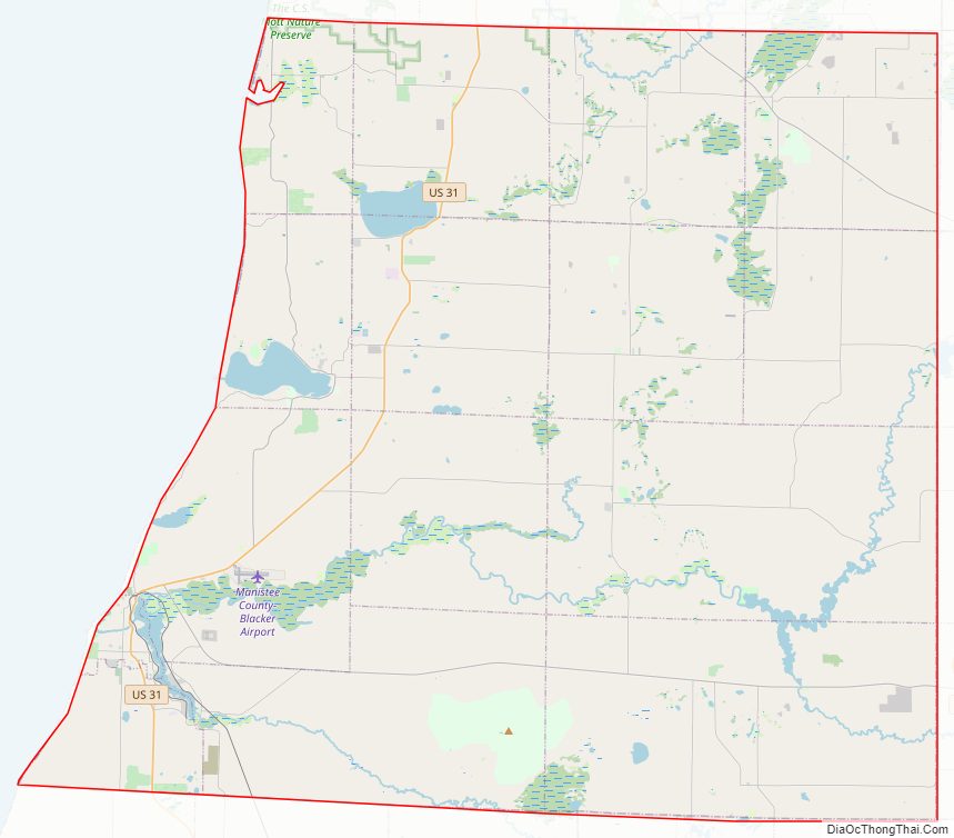
Manistee County Road Map
Geography
According to the U.S. Census Bureau, the county has a total area of 1,281 square miles (3,320 km), of which 542 square miles (1,400 km) is land and 738 square miles (1,910 km) (58%) is water. Manistee County is considered to be part of Northern Michigan.
Adjacent counties
By land
- Benzie County – north
- Grand Traverse County – northeast
- Wexford County – east
- Lake County – southeast
- Mason County – south
By water
- Manitowoc County, Wisconsin – southwest
- Kewaunee County, Wisconsin – west
Protected areas
- Manistee National Forest (part)
- Nordhouse Dunes Wilderness
- Orchard Beach State Park
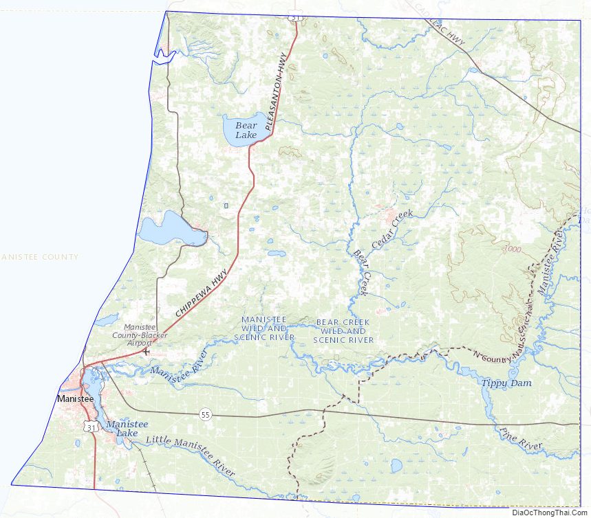
Manistee County Topographic Map
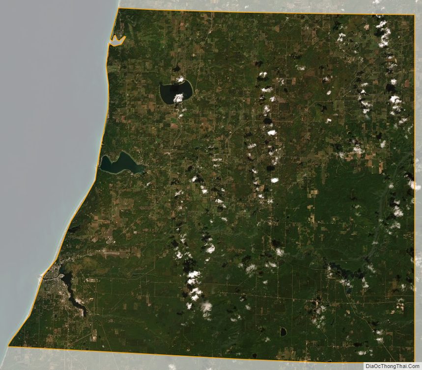
Manistee County Satellite Map
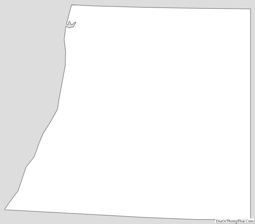
Manistee County Outline Map