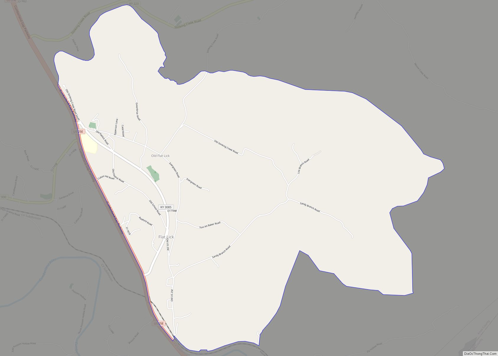
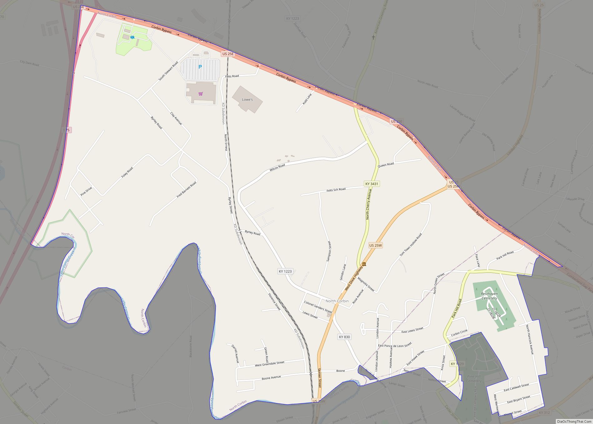
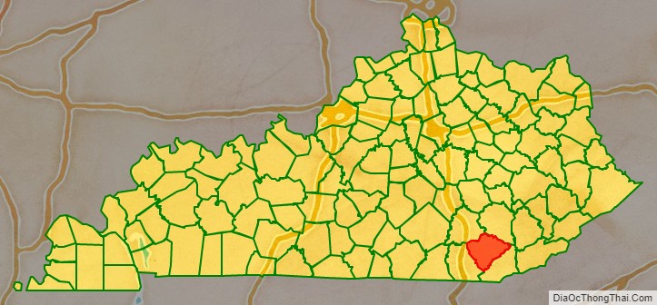
Knox County is a county located in Appalachia near the southeastern corner of the U.S. state of Kentucky. As of the 2020 census, the population was 30,193. Its county seat is Barbourville. The county is named for General Henry Knox. It is one of the few coal-producing counties in Kentucky that has not suffered massive population loss. Knox County is included in the London, KY Micropolitan Statistical Area.
| Name: | Knox County |
|---|---|
| FIPS code: | 21-121 |
| State: | Kentucky |
| Founded: | December 19, 1799 |
| Named for: | Henry Knox |
| Seat: | Barbourville |
| Largest city: | Barbourville |
| Total Area: | 388 sq mi (1,000 km²) |
| Land Area: | 386 sq mi (1,000 km²) |
| Total Population: | 30,193 |
| Population Density: | 78/sq mi (30/km²) |
| Time zone: | UTC−5 (Eastern) |
| Summer Time Zone (DST): | UTC−4 (EDT) |
| Website: | knoxfiscalcourt.com |
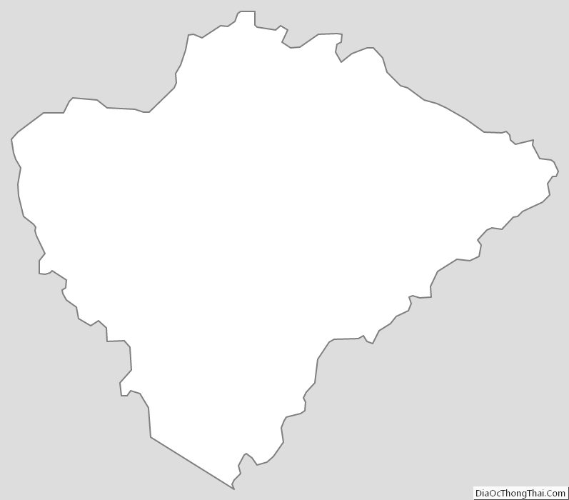
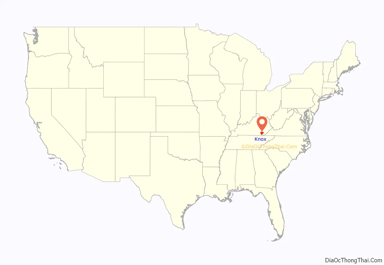
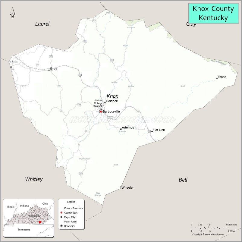
Knox County location map. Where is Knox County?
History
Knox County was formed on December 19, 1799, from portions of Lincoln County. It is usually assumed to be named for Henry Knox of Massachusetts, a Revolutionary War general and the first United States Secretary of War. However, there is strong evidence that it was actually named for James Knox. Knox was a pre-war explorer and long hunter, a veteran of Dunmore’s War and the Revolutionary War, a pioneer guide, road-builder, and legislator. Knox had used the Wilderness Road, which traverses the county, as an explorer and later oversaw its improvement into a wagon road.
The Civil War Battle of Barbourville was fought on September 19, 1861, between 800 Confederate soldiers from General Felix Zollicoffer’s command and 300 Union troops who attempted to defend the Union’s Camp Andrew Johnson. The Union men tore up the planks on the bridge in an attempt to keep the Confederates from crossing, but the more numerous Confederates succeeded anyway. They destroyed the camp and seized the arms and equipment it contained.
The present courthouse, completed in 1964, is the fifth courthouse to serve the county.
The county has historically had coal mining as the driver of its economy. Unlike other areas of southeastern Kentucky, it has continued to maintain jobs and much of its population.
Knox County Road Map
Geography
According to the United States Census Bureau, the county has a total area of 388 square miles (1,000 km), of which 386 square miles (1,000 km) is land and 1.5 square miles (3.9 km) (0.4%) is water.
Adjacent counties
- Clay County (northeast)
- Bell County (southeast)
- Whitley County (southwest)
- Laurel County (northwest)
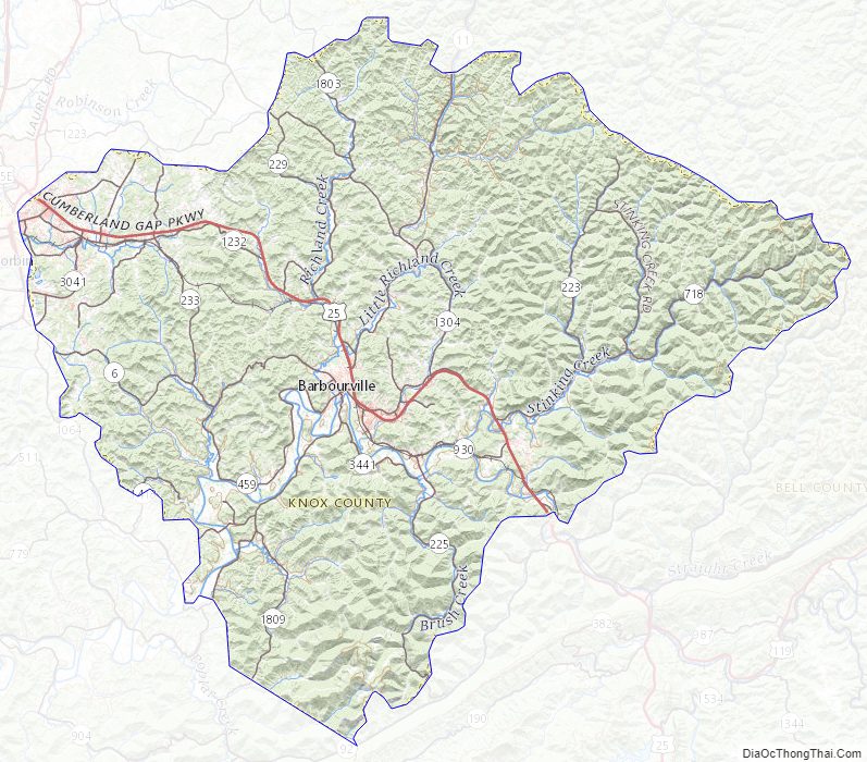
Knox County Topographic Map
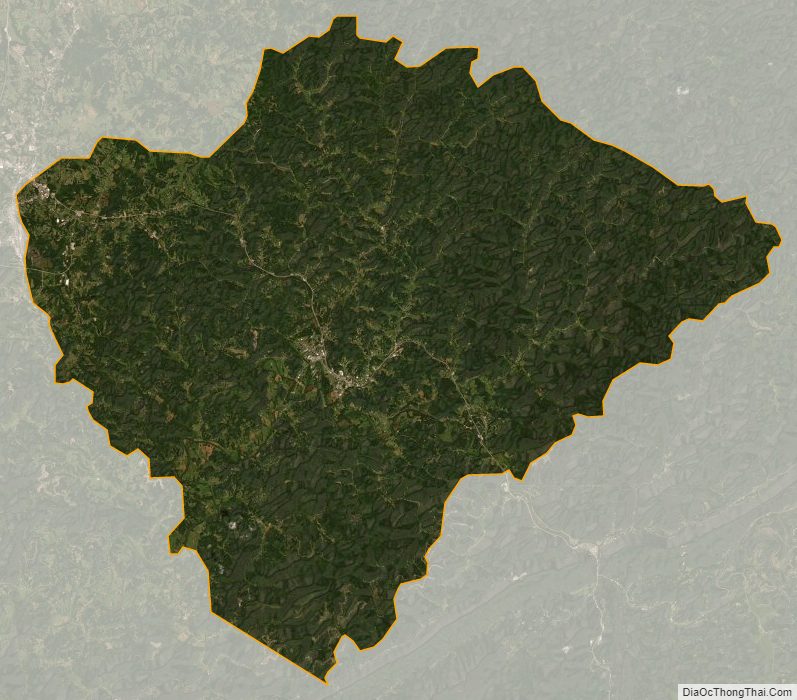
Knox County Satellite Map
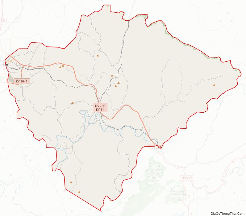
Knox County Outline Map