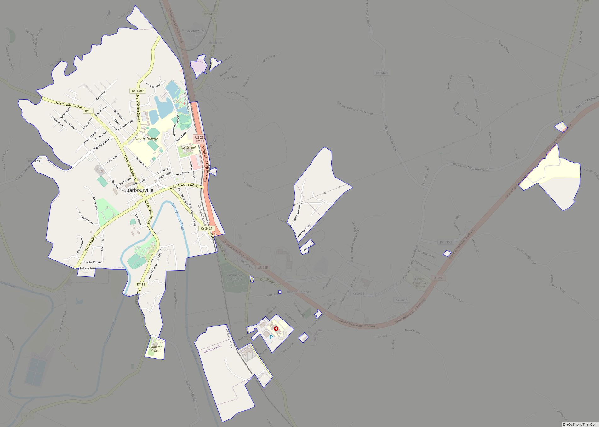
Corbin is a home rule-class city in Whitley, Knox and Laurel counties in the southeastern portion of the U.S. state of Kentucky. As of the 2020 census, the city population was 7,856.
Corbin is on Interstate 75 and US Route 25W, about halfway between Knoxville, Tennessee, and Lexington.
| Name: | Corbin city |
|---|---|
| LSAD Code: | 25 |
| LSAD Description: | city (suffix) |
| State: | Kentucky |
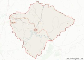
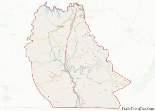
| County: | Knox County, Whitley County |
| Elevation: | 1,079 ft (329 m) |
| Total Area: | 7.99 sq mi (20.70 km²) |
| Land Area: | 7.95 sq mi (20.59 km²) |
| Water Area: | 0.04 sq mi (0.11 km²) |
| Total Population: | 7,856 |
| Population Density: | 988.42/sq mi (381.64/km²) |
| ZIP code: | 40701-40702 |
| Area code: | 606 |
| FIPS code: | 2117362 |
| GNISfeature ID: | 0511536 |
| Website: | corbin-ky.gov |
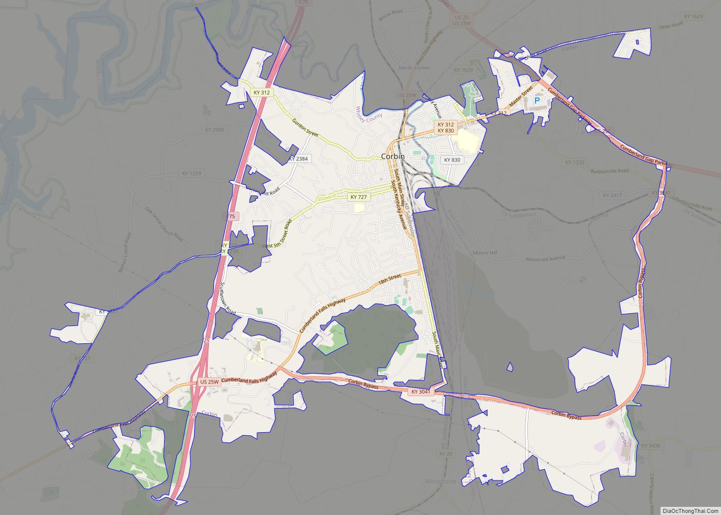
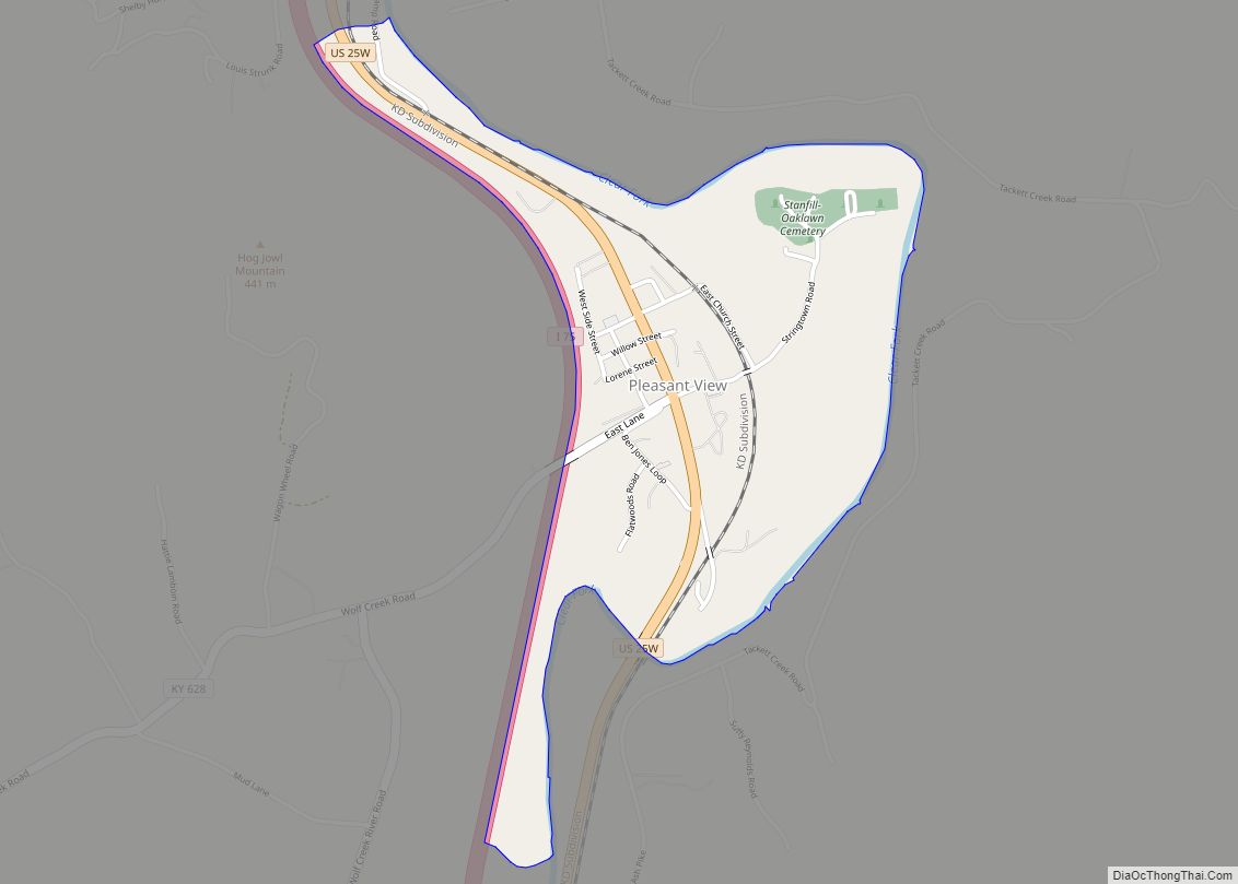
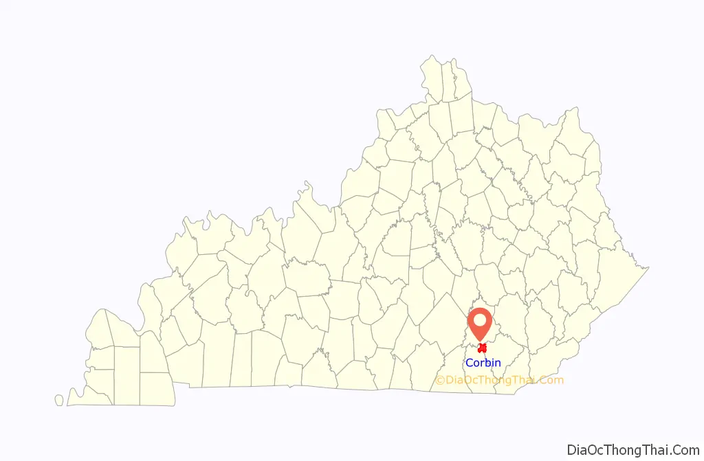
Online Interactive Map
Click on ![]() to view map in "full screen" mode.
to view map in "full screen" mode.
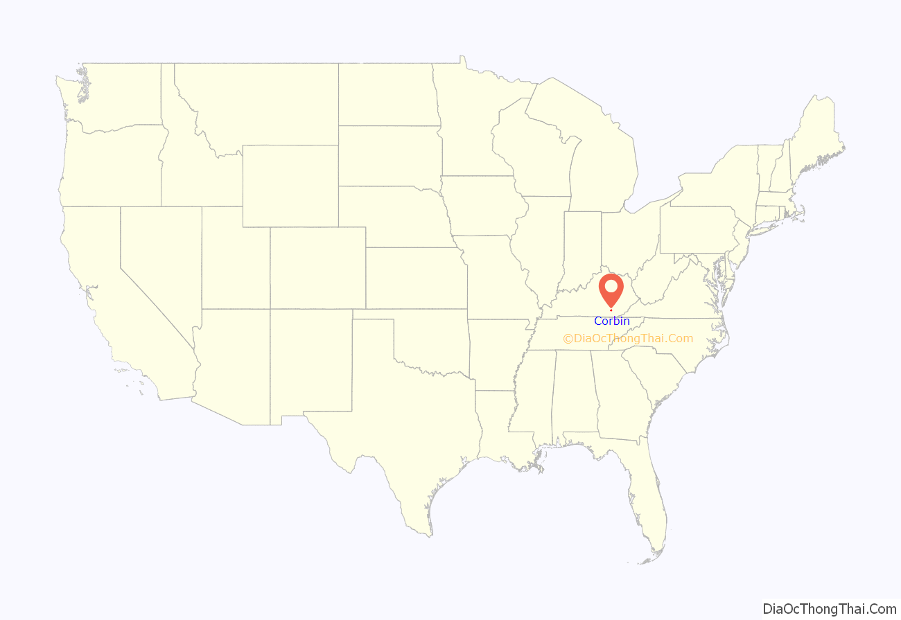
Corbin location map. Where is Corbin city?
History
The first settlement in the Corbin area was known as Lynn Camp Station. The first post office was called Cummins, for community founder Nelson Cummins. It was discovered in 1885 that both Cummins and Lynn Camp were already in use as names for Kentucky post offices, and postmaster James Eaton was asked to select another name. He chose Corbin for the Rev. James Corbin Floyd, a local minister. The town was incorporated under that name in 1905.
Corbin has a troubled racial past, including a race riot in late October 1919 in which a white mob forced nearly all the town’s 200 black residents onto a freight train out of town and a sundown town policy until the late 20th century. The event is the subject of a 1991 documentary, Trouble Behind. In October 2019, city leaders marked the riot’s centennial with a proclamation acknowledging the riot and former sundown town policy.
For most of its history, the urbanized areas of Corbin in Laurel County were not incorporated into the city limits due to a state law prohibiting cities from being in more than two counties. However, a 2021 change to state law allowed cities to voluntarily annex property in a third county if the city already provides public infrastructure to that property. In March 2022, the Corbin City Commission approved an annexation request for a property in Laurel County.
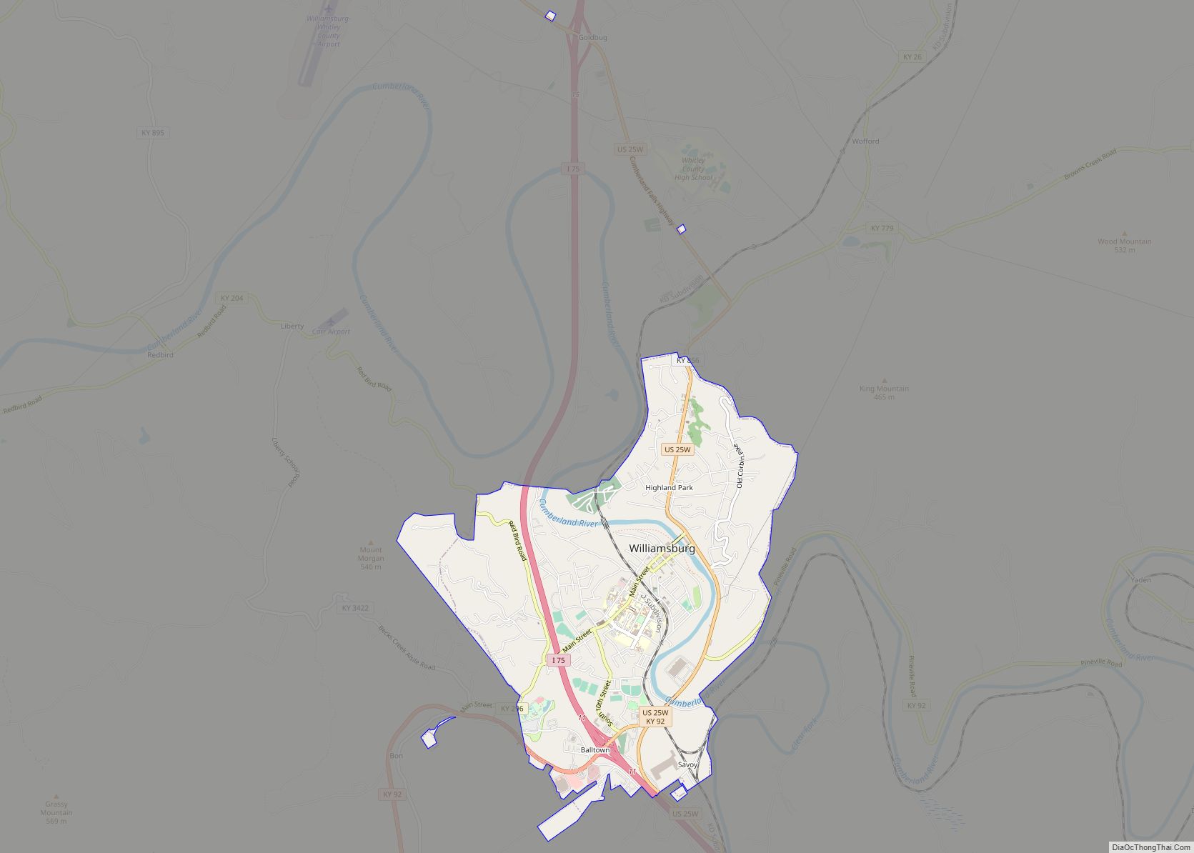
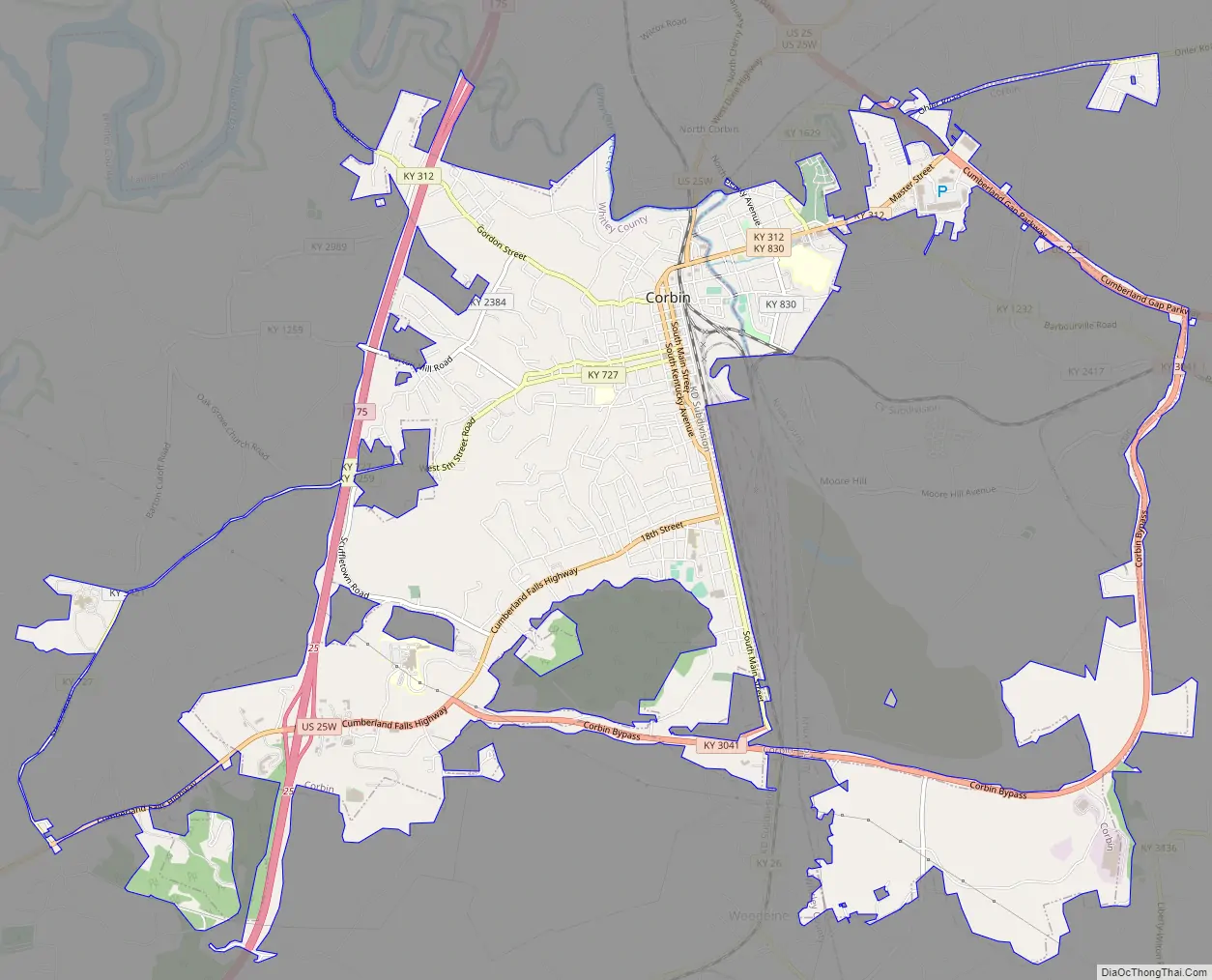
Corbin Road Map
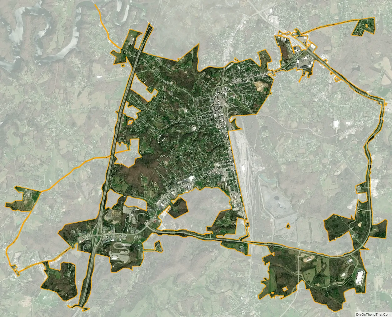
Corbin city Satellite Map
Geography
According to the United States Census Bureau, Corbin has a total area of 7.9 sq mi (20 km), with only a tiny fraction of 0.044 sq mi (0.11 km), or 0.56%, consisting of water.
Corbin lies in the Cumberland Plateau region of Appalachia in southeastern Kentucky, along Interstate 75 and U.S. Route 25W. I-75 provides access to the city from exit 25, leading north 89 miles (143 km) to Lexington and south 86 miles (138 km) to Knoxville, Tennessee. U.S. 25W runs through the center of town, leading north 14 miles (23 km) to London (via U.S. Route 25) and south 21 miles (34 km) to Williamsburg.
The Pine Mountain Overthrust Fault, a geologic fault system several miles to the east, produces occasional tremors, the most recent in 2008.
Climate
Corbin exhibits a humid subtropical climate, typical of southeastern Kentucky. The region experiences four distinct seasons. Winters are cool to cold, with mild periods. Summers are generally hot and humid, with variable spring and fall seasons. Precipitation is common year-round but more prevalent in the summer months—the surrounding mountains somewhat moderate Corbin’s climate.
See also
Map of Kentucky State and its subdivision:- Adair
- Allen
- Anderson
- Ballard
- Barren
- Bath
- Bell
- Boone
- Bourbon
- Boyd
- Boyle
- Bracken
- Breathitt
- Breckinridge
- Bullitt
- Butler
- Caldwell
- Calloway
- Campbell
- Carlisle
- Carroll
- Carter
- Casey
- Christian
- Clark
- Clay
- Clinton
- Crittenden
- Cumberland
- Daviess
- Edmonson
- Elliott
- Estill
- Fayette
- Fleming
- Floyd
- Franklin
- Fulton
- Gallatin
- Garrard
- Grant
- Graves
- Grayson
- Green
- Greenup
- Hancock
- Hardin
- Harlan
- Harrison
- Hart
- Henderson
- Henry
- Hickman
- Hopkins
- Jackson
- Jefferson
- Jessamine
- Johnson
- Kenton
- Knott
- Knox
- Larue
- Laurel
- Lawrence
- Lee
- Leslie
- Letcher
- Lewis
- Lincoln
- Livingston
- Logan
- Lyon
- Madison
- Magoffin
- Marion
- Marshall
- Martin
- Mason
- McCracken
- McCreary
- McLean
- Meade
- Menifee
- Mercer
- Metcalfe
- Monroe
- Montgomery
- Morgan
- Muhlenberg
- Nelson
- Nicholas
- Ohio
- Oldham
- Owen
- Owsley
- Pendleton
- Perry
- Pike
- Powell
- Pulaski
- Robertson
- Rockcastle
- Rowan
- Russell
- Scott
- Shelby
- Simpson
- Spencer
- Taylor
- Todd
- Trigg
- Trimble
- Union
- Warren
- Washington
- Wayne
- Webster
- Whitley
- Wolfe
- Woodford
- Alabama
- Alaska
- Arizona
- Arkansas
- California
- Colorado
- Connecticut
- Delaware
- District of Columbia
- Florida
- Georgia
- Hawaii
- Idaho
- Illinois
- Indiana
- Iowa
- Kansas
- Kentucky
- Louisiana
- Maine
- Maryland
- Massachusetts
- Michigan
- Minnesota
- Mississippi
- Missouri
- Montana
- Nebraska
- Nevada
- New Hampshire
- New Jersey
- New Mexico
- New York
- North Carolina
- North Dakota
- Ohio
- Oklahoma
- Oregon
- Pennsylvania
- Rhode Island
- South Carolina
- South Dakota
- Tennessee
- Texas
- Utah
- Vermont
- Virginia
- Washington
- West Virginia
- Wisconsin
- Wyoming