Lamar County is a county located in the west central portion of the U.S. state of Georgia. As of the 2020 census, the population was 18,500. The county seat is Barnesville.
Lamar County is included in the Atlanta-Sandy Springs-Roswell, GA Metropolitan Statistical Area.
| Name: | Lamar County |
|---|---|
| FIPS code: | 13-171 |
| State: | Georgia |
| Founded: | 1920 |
| Named for: | Lucius Quintus Cincinnatus Lamar II |
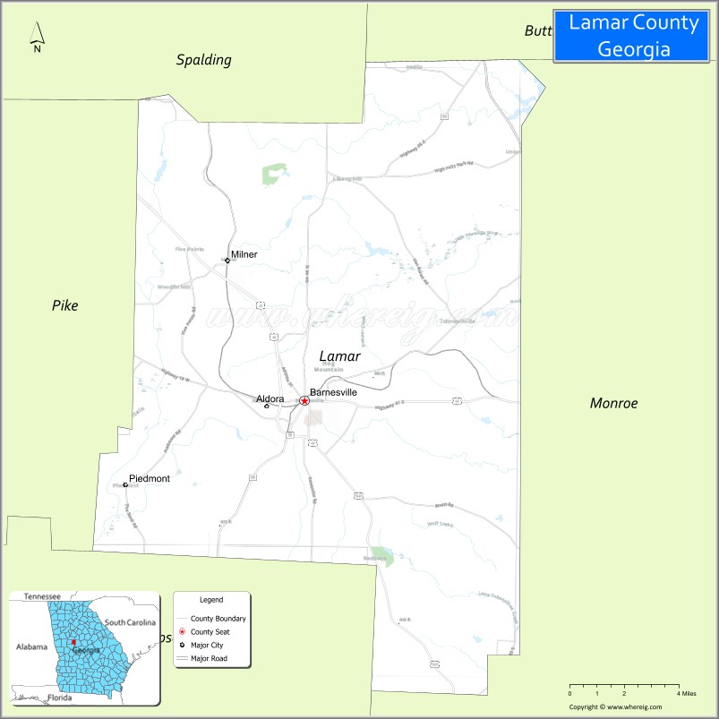
| Seat: | Barnesville |
| Largest city: | Barnesville |
| Total Area: | 186 sq mi (480 km²) |
| Land Area: | 184 sq mi (480 km²) |
| Total Population: | 18,500 |
| Population Density: | 101/sq mi (39/km²) |
| Time zone: | UTC−5 (Eastern) |
| Summer Time Zone (DST): | UTC−4 (EDT) |
| Website: | www.lamarcountyga.com |
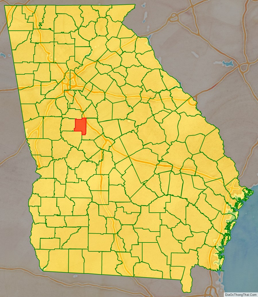
Lamar County location map. Where is Lamar County?

History
The Georgia General Assembly proposed the constitutional amendment to create the county on August 17, 1920, and the citizens of the state voted in favor of the amendment on November 2, 1920. Land from Pike County and Monroe County was then transferred to create Lamar County. Lamar County was named after Confederate Democrat white supremacist Lucius Quintus Cincinnatus Lamar II.
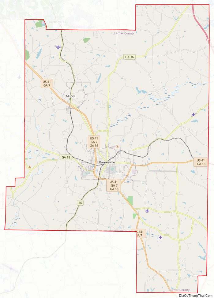
Lamar County Road Map
Geography
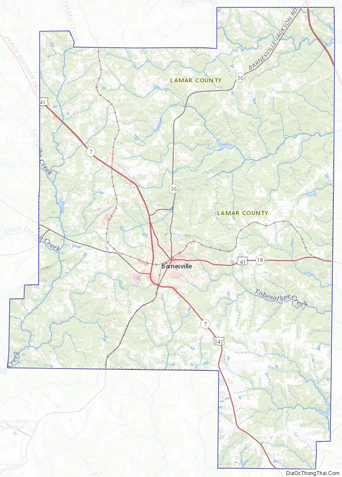
According to the U.S. Census Bureau, the county has a total area of 186 square miles (480 km), of which 184 square miles (480 km) is land and 2.3 square miles (6.0 km) (1.3%) is water. It is located in the Piedmont region of the state.
The western third of Lamar County, west of a line from Orchard Hill through Milner and Barnesville, is located in the Upper Flint River sub-basin of the ACF River Basin (Apalachicola-Chattahoochee-Flint River Basin). The eastern majority of the county is located in the Upper Ocmulgee River sub-basin of the Altamaha River basin.
Major highways
- Interstate 75
- U.S. Route 41
- U.S. Route 341
- State Route 7
- State Route 18
- State Route 36
- State Route 109
- State Route 401 (unsigned designation for I-75)
Adjacent counties
- Butts County (northeast)
- Monroe County (east)
- Upson County (southwest)
- Pike County (west)
- Spalding County (northwest)
Lamar County Topographic Map
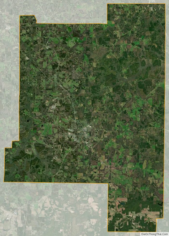
Lamar County Satellite Map
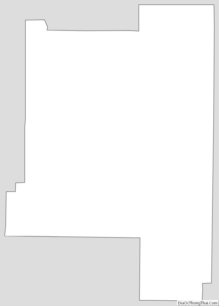
Lamar County Outline Map