Lincoln County is a county located in the U.S. state of Idaho. As of the 2020 census, the population was 5,127. The county seat and largest city is Shoshone. The county is named after President Abraham Lincoln. The Idaho Territory was created in 1863, during the Lincoln Administration of 1861–65.
Lincoln County is included in the Hailey, ID Micropolitan Statistical Area.
Lincoln County was created by the Idaho Legislature on March 18, 1895, by a partitioning of Blaine County, which was created earlier that month by a merger of Alturas and Logan Counties. Lincoln County itself was partitioned on January 28, 1913, with a western portion becoming Gooding County and an eastern portion becoming Minidoka County. The county assumed its present borders on February 8, 1919, when a southern portion became Jerome County.
| Name: | Lincoln County |
|---|---|
| FIPS code: | 16-063 |
| State: | Idaho |
| Founded: | March 18, 1895 |
| Named for: | Abraham Lincoln |
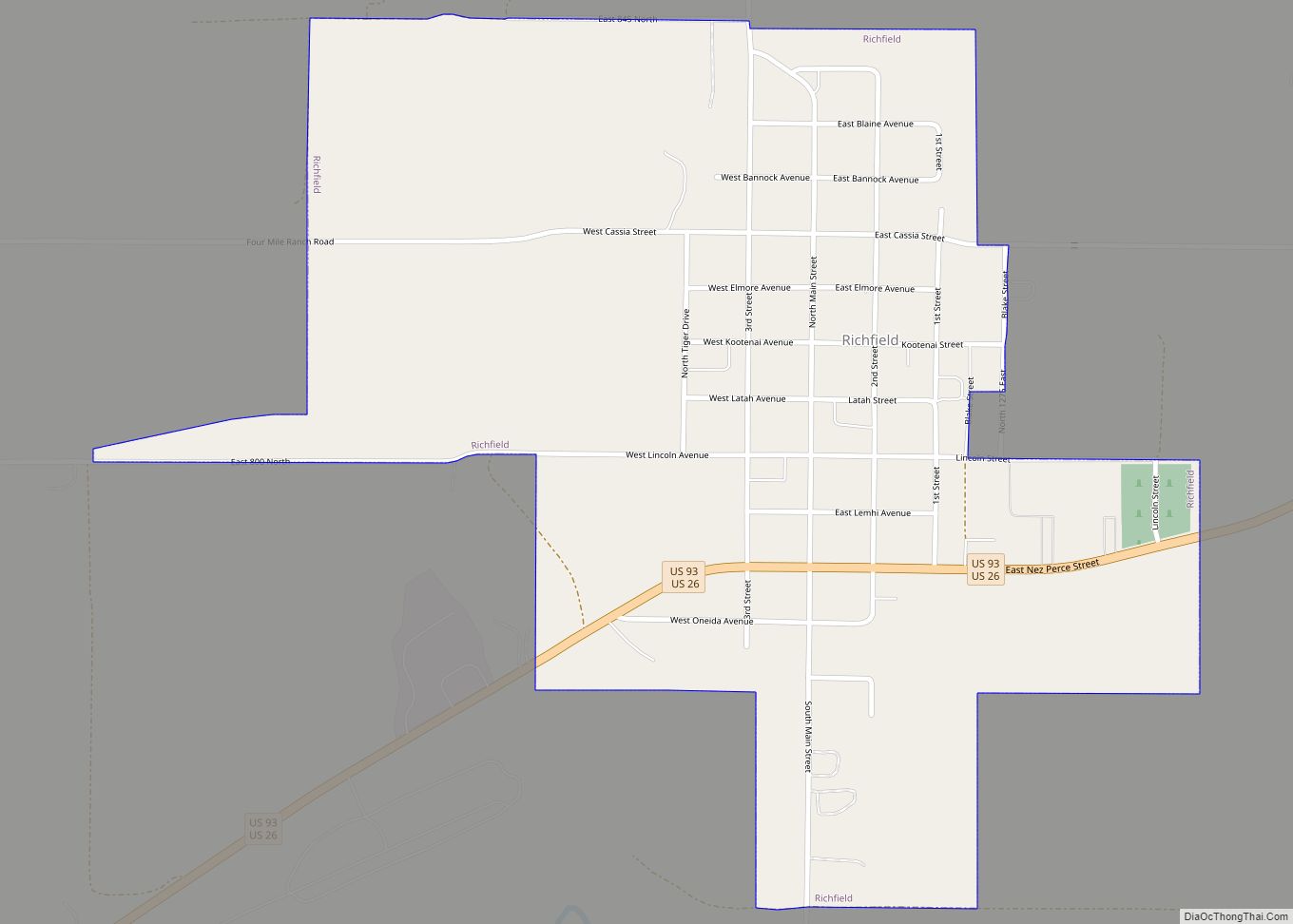
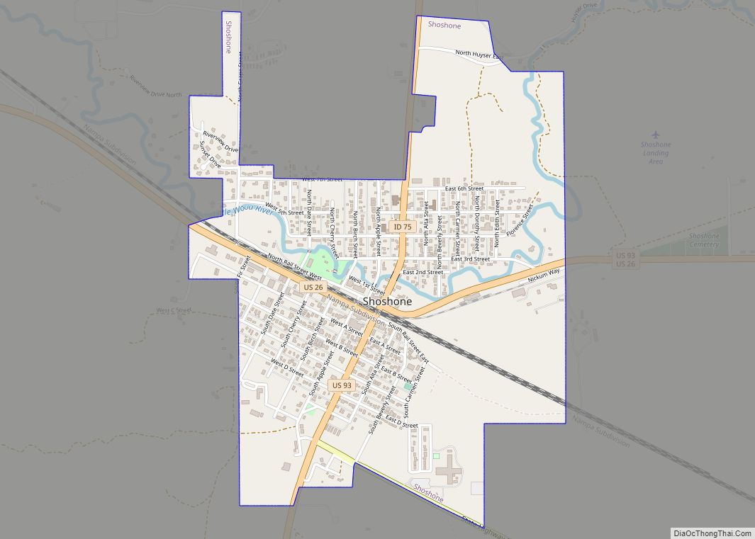
| Seat: | Shoshone |
| Largest city: | Shoshone |
| Total Area: | 1,206 sq mi (3,120 km²) |
| Land Area: | 1,201 sq mi (3,110 km²) |
| Total Population: | 5,127 |
| Population Density: | 4.3/sq mi (1.6/km²) |
| Time zone: | UTC−7 (Mountain) |
| Summer Time Zone (DST): | UTC−6 (MDT) |
| Website: | www.lincolncountyid.us |
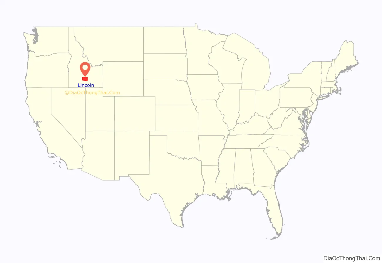
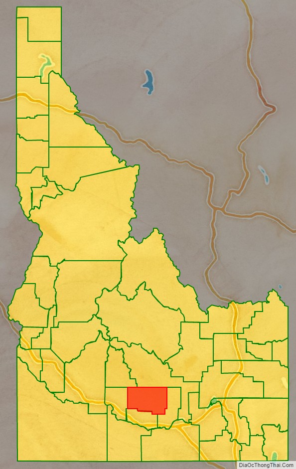
Lincoln County location map. Where is Lincoln County?
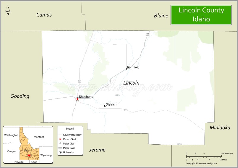
Lincoln County Road Map
Geography
According to the U.S. Census Bureau, the county has a total area of 1,206 square miles (3,120 km), of which 1,201 square miles (3,110 km) is land and 4.5 square miles (12 km) (0.4%) is water.
Adjacent counties
- Camas County – northwest
- Blaine County – north
- Minidoka County – east
- Jerome County – south
- Gooding County – west
Major highways
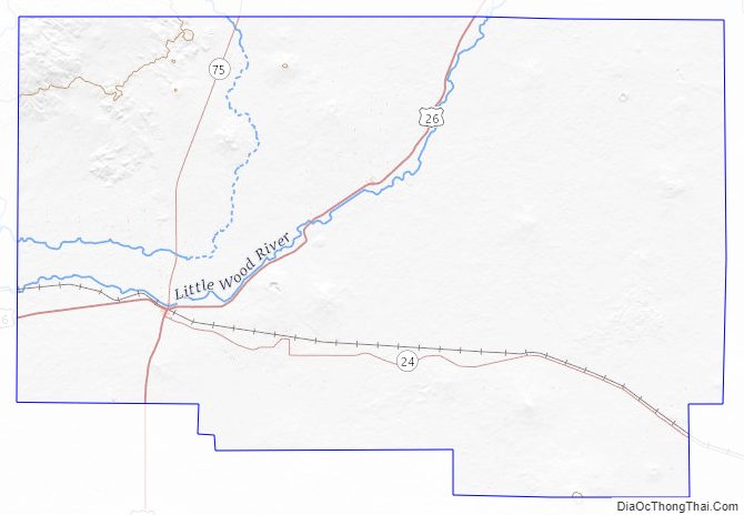
- US 26
- US 93
- SH-24
- SH-75 – Sawtooth Scenic Byway
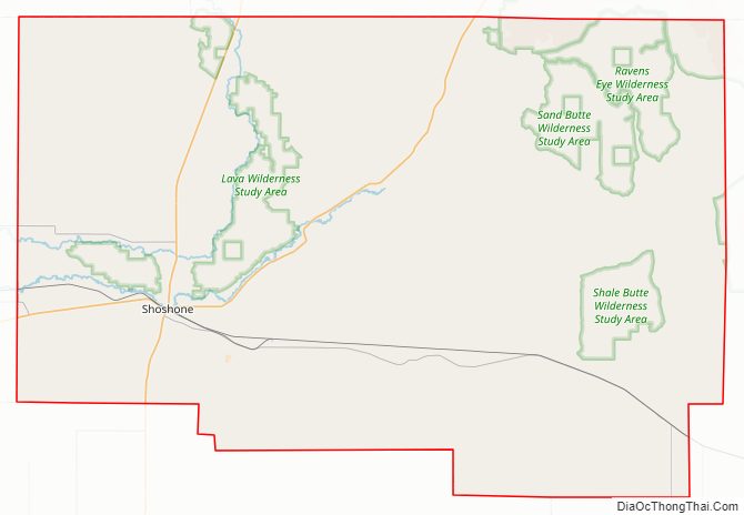
National protected area
- Craters of the Moon National Monument and Preserve – (part)
Lincoln County Topographic Map
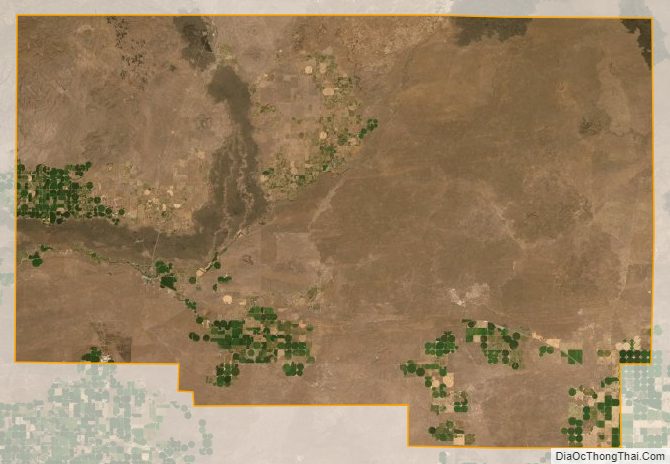
Lincoln County Satellite Map
Lincoln County Outline Map