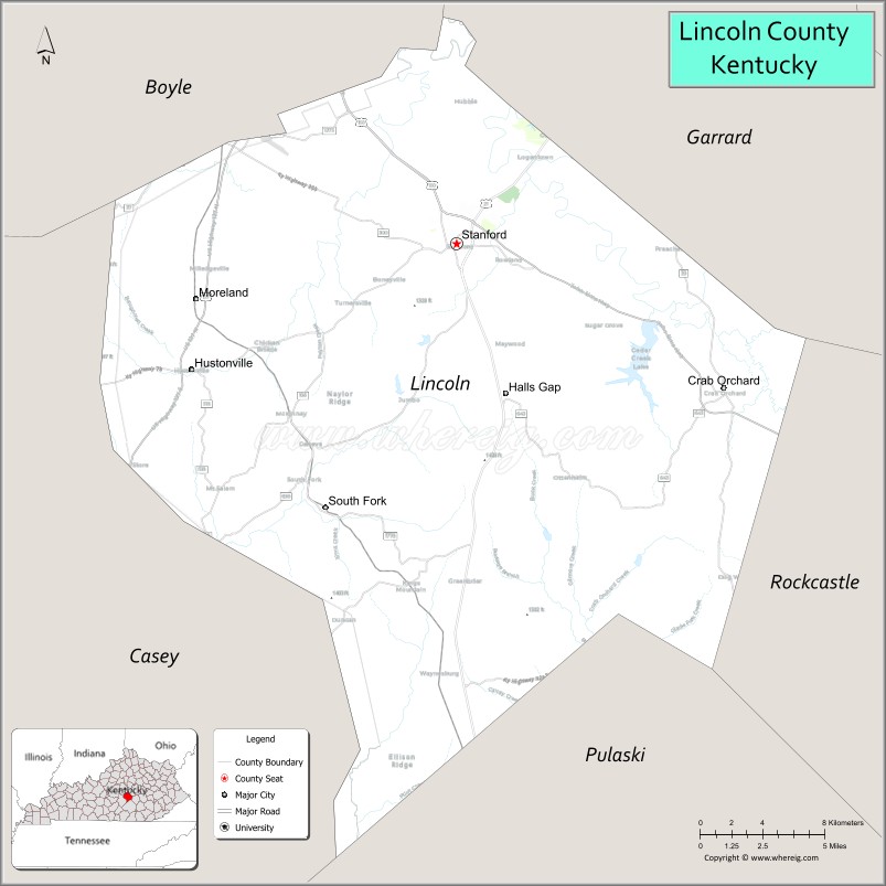
| Name: | Lincoln County |
|---|---|
| FIPS code: | 21-137 |
| State: | Kentucky |
| Founded: | 1780 |
| Named for: | Benjamin Lincoln |
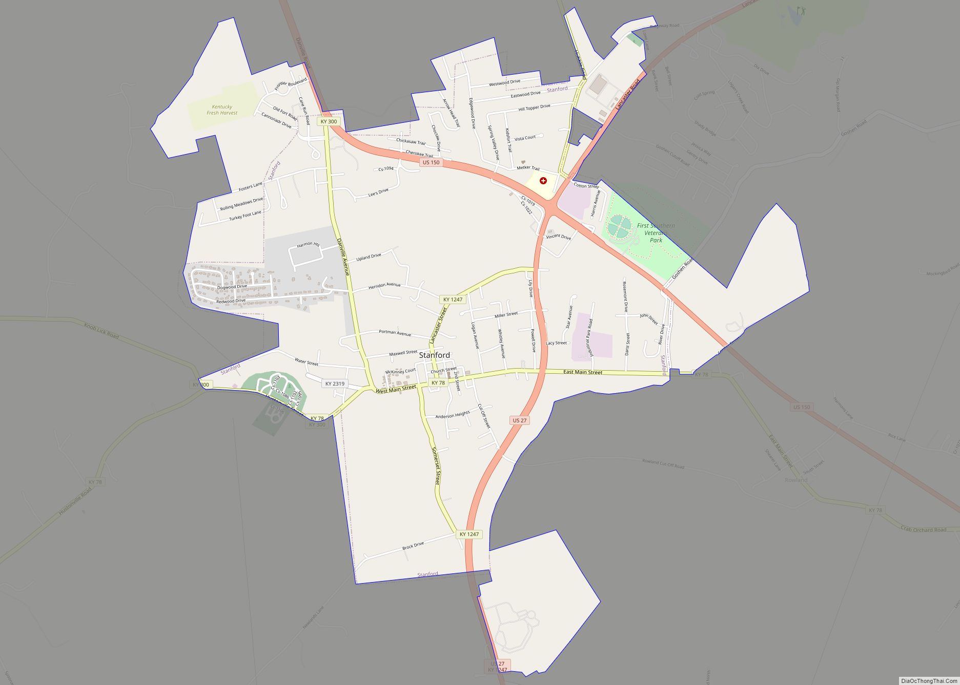
| Seat: | Stanford |
| Largest city: | Stanford |
| Total Area: | 337 sq mi (870 km²) |
| Land Area: | 334 sq mi (870 km²) |
| Total Population: | 24,275 |
| Population Density: | 72/sq mi (28/km²) |
| Time zone: | UTC−5 (Eastern) |
| Summer Time Zone (DST): | UTC−4 (EDT) |
| Website: | www.lincolnky.com |
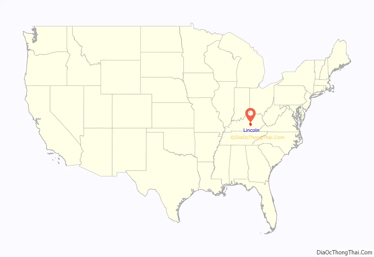
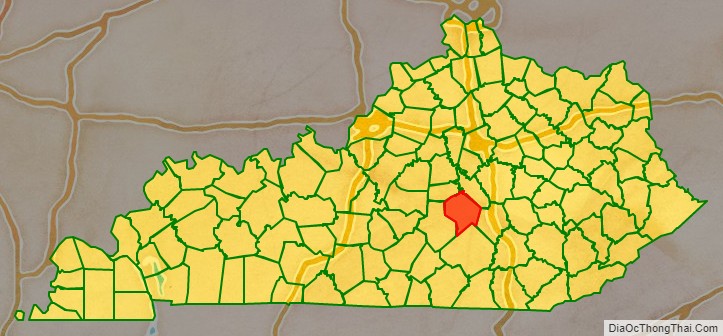
Lincoln County location map. Where is Lincoln County?
History
Lincoln County—originally Lincoln County, Virginia—was established by the Virginia General Assembly in June 1780, and named in honor of Revolutionary War general Benjamin Lincoln. It was one of three counties formed out of Virginia’s Kentucky County (The other two were Fayette and Jefferson), and is one of Kentucky’s nine original counties.
The county’s original seat was at Harrodsburg; but in 1785, Lincoln County was partitioned, and Harrodsburg became the seat of the new Mercer County. Afterward, Stanford became Lincoln County’s permanent seat.
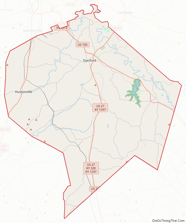
Lincoln County Road Map
Geography
According to the United States Census Bureau, the county has a total area of 337 square miles (870 km), of which 334 square miles (870 km) is land and 2.5 square miles (6.5 km) (0.7%) is water.
Lincoln County is located in south-central Kentucky astride the southern part of the ring of Knobs, which separate the Bluegrass region from the Eastern Pennyroyal Plateau, the Lincoln County part of which includes the source and headwaters of the Green River. Lincoln County is part of Appalachia.
Adjacent counties
- Boyle County (northwest)
- Garrard County (northeast)
- Rockcastle County (east)
- Pulaski County (south)
- Casey County (west)
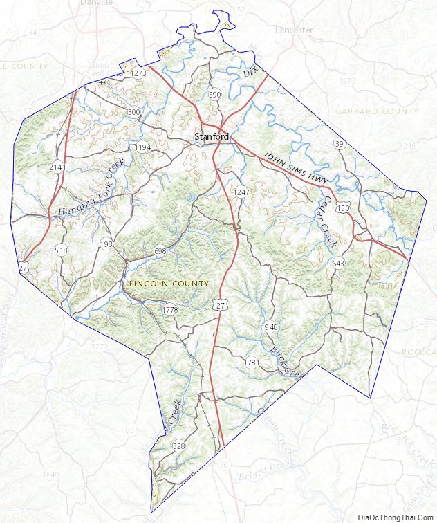
Lincoln County Topographic Map
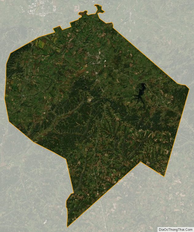
Lincoln County Satellite Map
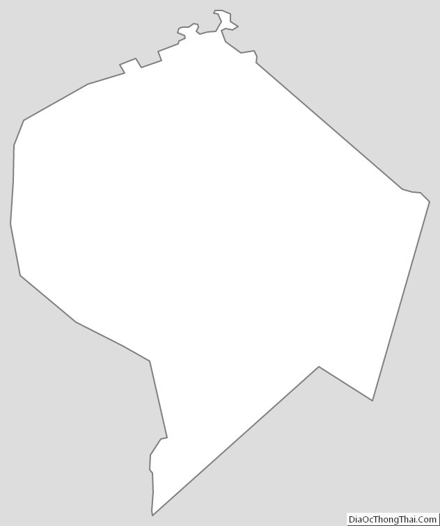
Lincoln County Outline Map