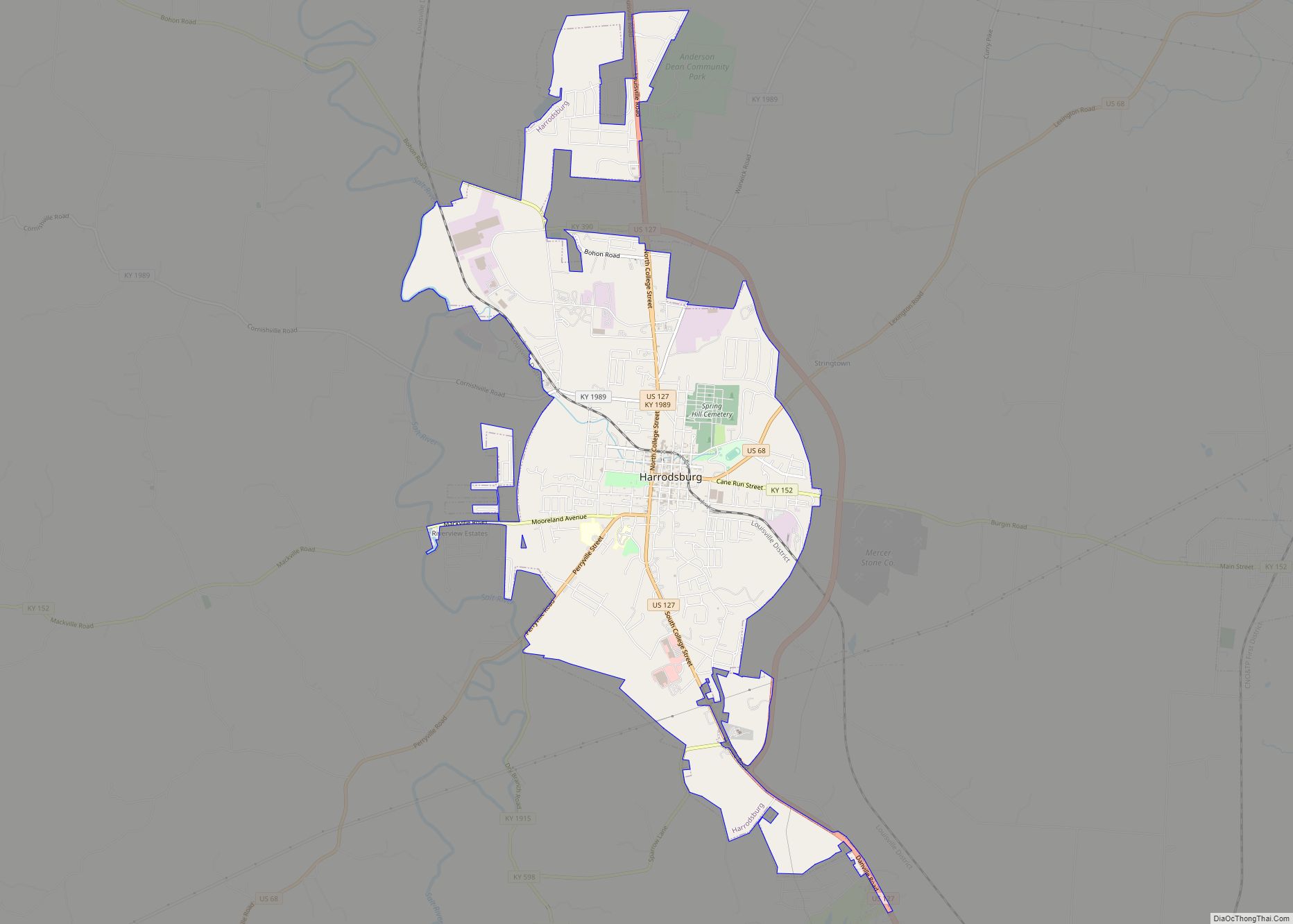
Harrodsburg is a home rule-class city in Mercer County, Kentucky, United States. It is the seat of its county. The population was 9,064 at the 2020 census.
Although Harrodsburg was formally established by the Virginia House of Burgesses after Boonesborough and was not incorporated by the Kentucky legislature until 1836, it was honored by President Franklin D. Roosevlet as the oldest permanent American settlement west of the Appalachians.
| Name: | Harrodsburg city |
|---|---|
| LSAD Code: | 25 |
| LSAD Description: | city (suffix) |
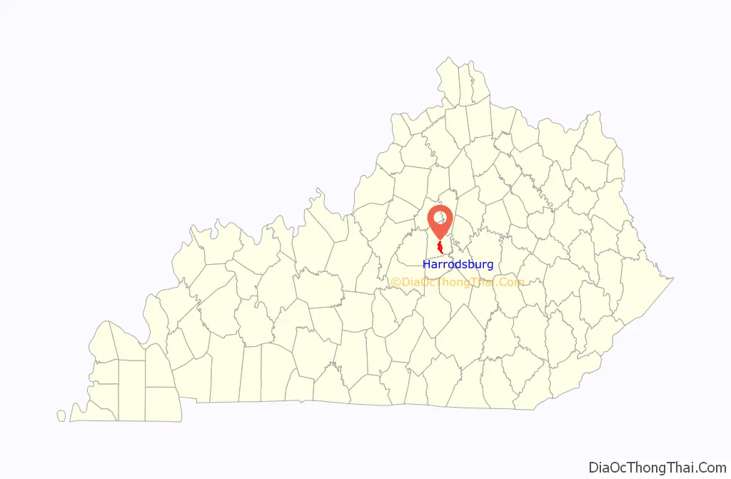
| State: | Kentucky |
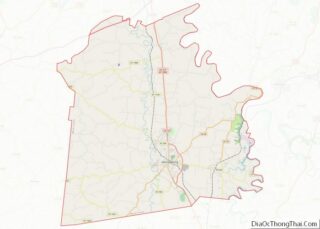
| County: | Mercer County |
| Founded: | June 16, 1774 |
| Incorporated: | March 1, 1836 |
| Elevation: | 850 ft (260 m) |
| Total Area: | 6.94 sq mi (17.98 km²) |
| Land Area: | 6.92 sq mi (17.93 km²) |
| Water Area: | 0.02 sq mi (0.05 km²) |
| Total Population: | 9,064 |
| Population Density: | 1,309.64/sq mi (505.63/km²) |
| ZIP code: | 40330 |
| Area code: | 859 |
| FIPS code: | 2134966 |
| GNISfeature ID: | 0493831 |
| Website: | harrodsburgcity.org |
Online Interactive Map
Click on ![]() to view map in "full screen" mode.
to view map in "full screen" mode.
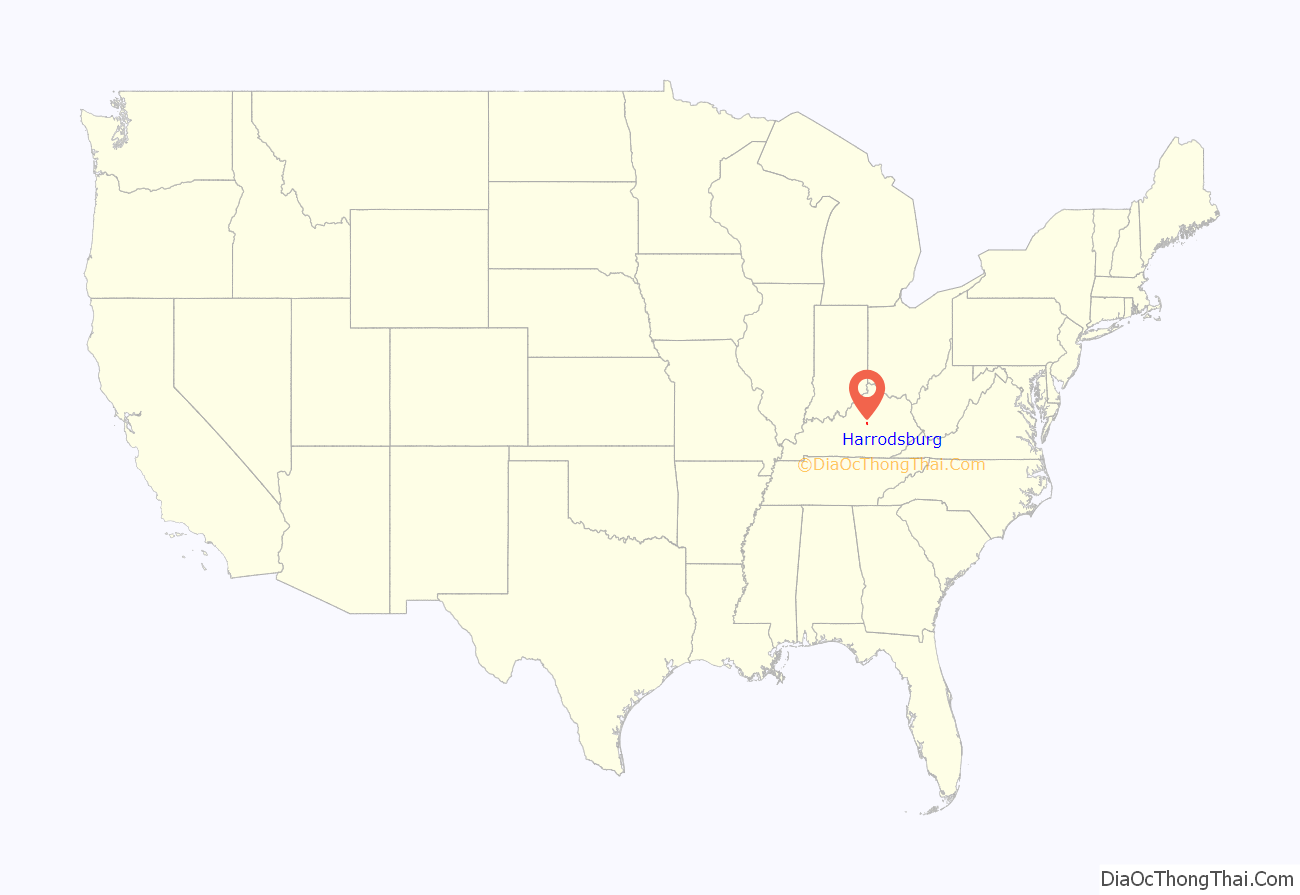
Harrodsburg location map. Where is Harrodsburg city?
History
18th century
Harrodstown (sometimes Harrod’s Town) was laid out and founded by James Harrod on June 16, 1774. Harrod led a company of adventurers totaling 31 men, beginning in the spring of 1774 at Fort Redstone in Pennsylvania down the Monongahela and Ohio Rivers in canoes and through a series of other rivers and creeks to the town’s present-day location.
Later that same year, amid Dunmore’s War, Lord Dunmore sent two men to warn the surveyors of imminent Shawnee attacks, Daniel Boone and Michael Stoner, who are said to have completed the round trip of 800 miles in 61 days. Regardless, the pioneers remained for a few weeks until a man was killed by the natives, when the settlement was abandoned and resettled the following year by March. It was one of three settlements in present-day Kentucky at the time the Thirteen Colonies declared independence in 1776, along with Logan’s Fort and Boonesborough. Also known as Oldtown, Harrodstown was the first seat of Virginia’s Kentucky (1776), Lincoln (1780), and Mercer (1785) Counties upon their formations. It remains the seat of Mercer County in Kentucky.
A census taken between Dec. 16, 1777, and Oct. 16, 1778, lists 52 residents, several of whom were well-known pioneers and frontiersmen, including Daniel Boone’s younger brother, Squire Boone, Silas Harlan, the Kentucky county‘s namesake, James Harrod, Hugh McGary, Isaac Hite and his cousins, Isaac and John Bowman, and David Glenn, who later travelled further west and settled in Yellow Banks (present Daviess County). David Glenn, along with his brother Thomas, and Silas Harlan, with his brother James, had accompanied Harrod on his initial expedition in 1774.
The settlement was formally established by the Virginia General Assembly in 1785 as Harrodsburg. Four years later, it was named the location for the newly created United States District Court for the District of Kentucky by the Judiciary Act of 1789.
19th century
The Kentucky General Assembly incorporated Harrodsburg in 1836.
During the Civil War, the town was pro-Confederate, but Union control permitted the organization two Union regiments, the 19th Regiment Kentucky Volunteer Infantry and the 11th Regiment Kentucky Volunteer Cavalry. The 19th Infantry as organized at nearby Camp Harwood for a three-year enlistment commencing January 2, 1862, under the command of Colonel William J. Landram. Companies A, C, D, and F of the 11th Kentucky Cavalry were organized at Harrodsburg, Kentucky, in July 1862. The remainder of the regiment was organized in Louisville, Kentucky, and mustered in on September 26, 1862, and mustered in for three years under the command of Colonel Alexander W. Holeman. Following the Battle of Perryville, much of the city was converted into makeshift hospitals; 1600 sick and wounded Confederate soldiers were captured during a raid by the 9th Kentucky Cavalry under Lieutenant Colonel John Boyle on October 10, 1862. The city then remained under martial law for the remainder of the war.
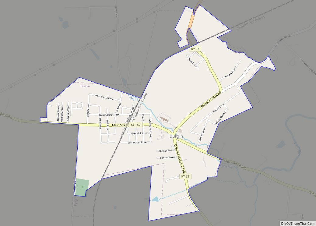
The Louisville Southern Railroad network reached the city in 1888. Its construction commenced in 1884 and ran from Louisville through Shelbyville and Lawrenceburg to Harrodsburg, which was reached in 1888. A spur was constructed to Burgin, where the Louisville Southern joined the Cincinnati Southern’s Cincinnati, New Orleans and Texas Pacific Railway CNO&TP mainline. Now all run and are operated by Norfolk Southern Railway.
20th century
Pioneer Memorial Park (now Old Fort Harrod State Park) was opened on June 16, 1927. In 1936, President Franklin Delano Roosevelt honored the city with a monument honoring the “first permanent settlement west of the Appalachians”.
Company D of the 192nd Tank Battalion in the Battle of Bataan was from Harrodsburg.
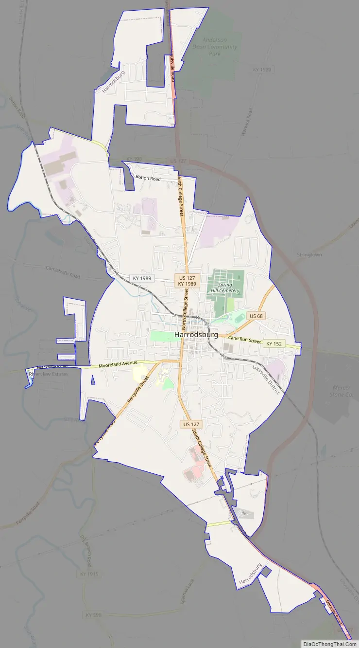
Harrodsburg Road Map
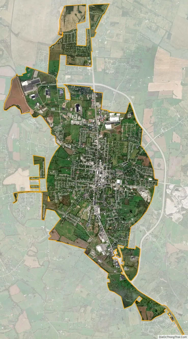
Harrodsburg city Satellite Map
Geography
Harrodsburg is located at 37°45′50″N 84°50′46″W / 37.76389°N 84.84611°W / 37.76389; -84.84611 (37.764019, -84.845974). According to the United States Census Bureau, the city has a total area of 5.3 sq mi (13.7 km), all land.
See also
Map of Kentucky State and its subdivision:- Adair
- Allen
- Anderson
- Ballard
- Barren
- Bath
- Bell
- Boone
- Bourbon
- Boyd
- Boyle
- Bracken
- Breathitt
- Breckinridge
- Bullitt
- Butler
- Caldwell
- Calloway
- Campbell
- Carlisle
- Carroll
- Carter
- Casey
- Christian
- Clark
- Clay
- Clinton
- Crittenden
- Cumberland
- Daviess
- Edmonson
- Elliott
- Estill
- Fayette
- Fleming
- Floyd
- Franklin
- Fulton
- Gallatin
- Garrard
- Grant
- Graves
- Grayson
- Green
- Greenup
- Hancock
- Hardin
- Harlan
- Harrison
- Hart
- Henderson
- Henry
- Hickman
- Hopkins
- Jackson
- Jefferson
- Jessamine
- Johnson
- Kenton
- Knott
- Knox
- Larue
- Laurel
- Lawrence
- Lee
- Leslie
- Letcher
- Lewis
- Lincoln
- Livingston
- Logan
- Lyon
- Madison
- Magoffin
- Marion
- Marshall
- Martin
- Mason
- McCracken
- McCreary
- McLean
- Meade
- Menifee
- Mercer
- Metcalfe
- Monroe
- Montgomery
- Morgan
- Muhlenberg
- Nelson
- Nicholas
- Ohio
- Oldham
- Owen
- Owsley
- Pendleton
- Perry
- Pike
- Powell
- Pulaski
- Robertson
- Rockcastle
- Rowan
- Russell
- Scott
- Shelby
- Simpson
- Spencer
- Taylor
- Todd
- Trigg
- Trimble
- Union
- Warren
- Washington
- Wayne
- Webster
- Whitley
- Wolfe
- Woodford
- Alabama
- Alaska
- Arizona
- Arkansas
- California
- Colorado
- Connecticut
- Delaware
- District of Columbia
- Florida
- Georgia
- Hawaii
- Idaho
- Illinois
- Indiana
- Iowa
- Kansas
- Kentucky
- Louisiana
- Maine
- Maryland
- Massachusetts
- Michigan
- Minnesota
- Mississippi
- Missouri
- Montana
- Nebraska
- Nevada
- New Hampshire
- New Jersey
- New Mexico
- New York
- North Carolina
- North Dakota
- Ohio
- Oklahoma
- Oregon
- Pennsylvania
- Rhode Island
- South Carolina
- South Dakota
- Tennessee
- Texas
- Utah
- Vermont
- Virginia
- Washington
- West Virginia
- Wisconsin
- Wyoming